|
Derrymony
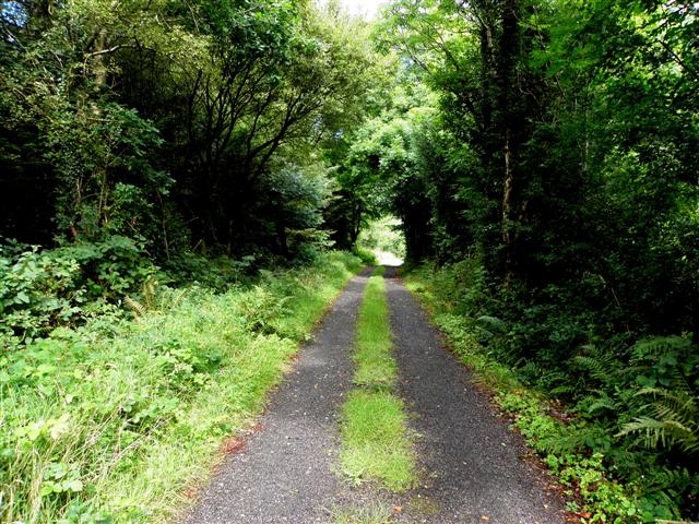
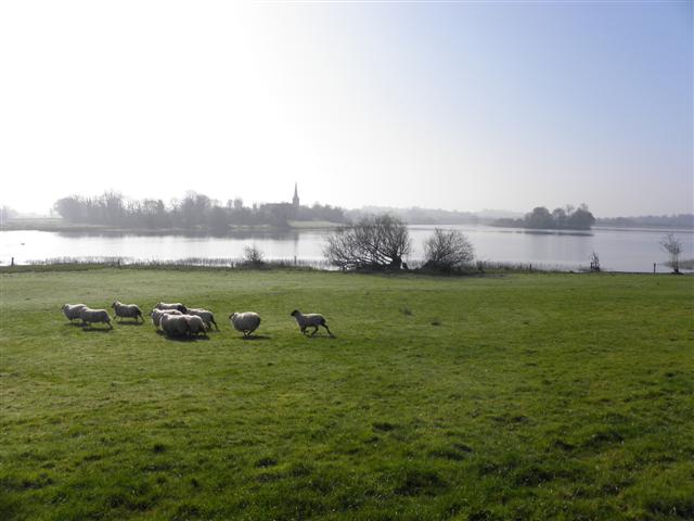
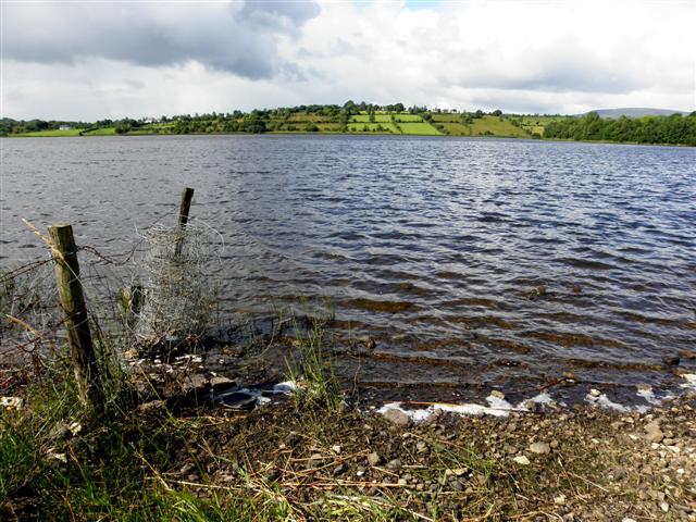
Derrymony () is a townland in the civil parish of Templeport, County Cavan, Ireland. It lies in the Roman Catholic parish of Templeport and barony of Tullyhaw. Geography Derrymony is bounded on the north by Prospect, Corlough townland, on the west by Tirnawannagh townland in Corlough parish, on the south by Erraran townland and on the east by Killyneary and Brackley, Templeport townlands. Its chief geographical features are Brackley Lough, streams, forestry plantations and dug wells. Derrymony is traversed by minor public roads and rural lanes. The townland covers 254 statute acres. History In medieval times the McGovern barony of Tullyhaw was divided into economic taxation areas called ballibetoes, from the Irish ''Baile Biataigh'' (Anglicized as 'Ballybetagh'), meaning 'A Provisioner's Town or Settlement'. The original purpose was to enable the farmer, who controlled the baile, to provide hospitality for those who needed it, such as poor people and travellers. The bally ... [...More Info...] [...Related Items...] OR: [Wikipedia] [Google] [Baidu] |
Erraran
Erraran ( (i.e. Brackley Lake) is a townland in the civil parish of Templeport, County Cavan, Ireland. It lies in the Roman Catholic parish of Templeport and barony of Tullyhaw. Geography Erraran is bounded on the north by Derrymony and Killyneary townlands, on the west by Tirnawannagh and Gortnacargy townlands in Corlough parish, on the south by Newtown, Templeport and Kilsob townlands and on the east by Bawnboy townland. Its chief geographical features are Brackley Lough, Lough Namoyle (Loch na Maoile = The Lake of the Bare Hill), a stream and dug wells. Erraran is traversed by minor roads and rural lanes. The townland covers 155 statute acres. History In medieval times the McGovern barony of Tullyhaw was divided into economic taxation areas called ballibetoes, from the Irish ''Baile Biataigh'' (Anglicized as 'Ballybetagh'), meaning 'A Provisioner's Town or Settlement'. The original purpose was to enable the farmer, who controlled the baile, to provide hospitality for tho ... [...More Info...] [...Related Items...] OR: [Wikipedia] [Google] [Baidu] |
Templeport
Templeport () is a civil parish in the barony of Tullyhaw, County Cavan, Ireland. The chief towns in the parish are Bawnboy and Ballymagauran. The large Roman Catholic parish of Templeport containing 42,172 statute acres was split up in the 18th & 19th centuries into three new parishes, Templeport, Corlough and Glangevlin. Etymology The name of Templeport parish derives from the old townland of Templeport (which is now shortened to Port) which is the anglicisation of the Gaelic 'Teampall An Phoirt' ("The Church of the Port or Bank or Landing-Place"). The church referred to is the old church on St. Mogue's Island in the middle of Port Lake. This church fell into disuse in medieval times and a new church was built on the opposite shore of the lake. It was forfeited to Queen Elizabeth in 1590 and started use as a Protestant church in about 1610. It is very unlikely that the island church ever served as the parish church because there was only one boat available and it would have ... [...More Info...] [...Related Items...] OR: [Wikipedia] [Google] [Baidu] |
Prospect, Corlough
Prospect (Modern English name meaning ‘An extensive view of landscape’ because of the fine view it gives over Brackley Lough from Prospect Point at the southern tip of the townland. The old Irish place name was "Renmore or Rinn Mór" meaning the 'Big Promontory or Headland') is a townland in the civil parish of Templeport, County Cavan, Ireland. It lies in the Roman Catholic parish of Corlough and barony of Tullyhaw. Geography Prospect is bounded on the north by Tawnagh townland, on the south by Moneynure and Tirnawannagh townlands, on the west by Derry More and Scrabby, Corlough townlands and on the east by Brackley, Templeport, Mullaghlea and Derrymony townlands. Its chief geographical features are Brackley Lough, small streams, quarries, sinkholes and dug wells. Prospect is traversed by minor public road and rural lanes. The townland covers 227 statute acres. History In medieval times the McGovern barony of Tullyhaw was divided into economic taxation areas calle ... [...More Info...] [...Related Items...] OR: [Wikipedia] [Google] [Baidu] |
Tirnawannagh
Tirnawannagh () is a townland in the civil parish of Templeport, County Cavan, Ireland. It lies in the Roman Catholic parish of Corlough and barony of Tullyhaw. Geography Tirnawannagh is bounded on the north by Prospect, Corlough townland, on the south by Teeboy and Gortnacargy townlands, on the west by Arderry and Moneynure townlands and on the east by Derrymony and Erraran townlands. Its chief geographical features are Brackley Lough, Bunerky Lough (Irish = Loch Bun Adhairc = The Lake of the Butt of the Horn), Lough Namoyle (Loch na Maoile = The Lake of the Bare Hill), forestry plantations, small streams, a spring and dug wells. Tirnawannagh is traversed by minor public roads and rural lanes. The townland covers 340 statute acres. History In medieval times the McGovern barony of Tullyhaw was divided into economic taxation areas called ballibetoes, from the Irish ''Baile Biataigh'' (Anglicized as 'Ballybetagh'), meaning 'A Provisioner's Town or Settlement'. The original pur ... [...More Info...] [...Related Items...] OR: [Wikipedia] [Google] [Baidu] |
Killyneary
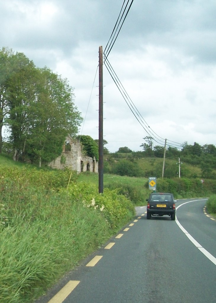
Killyneary () is a townland in the civil parish of Templeport, County Cavan, Ireland. It lies in the Roman Catholic parish of Templeport and barony of Tullyhaw. Geography Killyneary is bounded on the north by Brackley, Templeport townland, on the west by Derrymony townland, on the south by Erraran and Bawnboy townlands and on the east by Carrick East townland. Its chief geographical features are Brackley Lough, forestry plantations, streams, dug wells and a spring well. Killyneary is traversed by the national secondary N87 road (Ireland), minor roads and rural lanes. The townland covers 152 statute acres. History In medieval times the McGovern barony of Tullyhaw was divided into economic taxation areas called ballibetoes, from the Irish ''Baile Biataigh'' (Anglicized as 'Ballybetagh'), meaning 'A Provisioner's Town or Settlement'. The original purpose was to enable the farmer, who controlled the baile, to provide hospitality for those who needed it, such as poor people and tr ... [...More Info...] [...Related Items...] OR: [Wikipedia] [Google] [Baidu] |
Brackley, Templeport
Brackley () is a townland in the civil parish of Templeport, County Cavan, Ireland. It lies in the Roman Catholic parish of Templeport and barony of Tullyhaw. Geography Brackley is bounded on the north by Mullaghlea townland, on the west by Prospect, Corlough parish and Derrymony townlands, on the south by Killyneary, Carrick East and Gortnavreeghan townlands and on the east by Mullanacre Upper townland in Tomregan parish. Its chief geographical features are Slieve Rushen mountain on whose western slope it lies, Brackley Lough, mountain streams, mountain bogs, Brackley Wood, forestry plantations, stone quarries and dug wells. It forms part of the Slieve Rushen Bog Natural Heritage AreAn island in Brackley Lough is called the Baron's Island after a Baron de Trent who lived in Brackley House c.1850 and who built a studio on the island. Brackley is traversed by the regional N87 road (Ireland) and rural lanes. The townland covers 619 statute acres. History In medieval times t ... [...More Info...] [...Related Items...] OR: [Wikipedia] [Google] [Baidu] |
O'Reilly
O'Reilly ( ga, Ó Raghallaigh) is a group of families, ultimately all of Irish Gaels, Gaelic origin, who were historically the kings of East Bréifne in what is today County Cavan. The clan were part of the Connachta's Uí Briúin Bréifne kindred and were closely related to the Ó Ruairc (O'Rourkes) of West Bréifne. O'Reilly is ranked tenth in the List of most common surnames in Europe#Republic of Ireland, top twenty list of most common Irish surnames. It is also the patronymic form of the Irish name Reilly (surname), Reilly (Irish language, Irish Gaelic: ''Uí Raghaile''). The name is commonly found throughout Ireland, with the greatest concentration of the surname found in County Cavan followed by Longford, Meath, Westmeath, Fermanagh and Monaghan, and the Province of Leinster. Naming conventions Overview It is usually anglicised as Reilly (surname), Reilly, Riley, and O'Reilly. The original form of the name, Ó Raghallaigh, denotes "from/of Raghallach", the name Raghal ... [...More Info...] [...Related Items...] OR: [Wikipedia] [Google] [Baidu] |
Census Of Ireland, 1901
A census is the procedure of systematically acquiring, recording and calculating information about the members of a given population. This term is used mostly in connection with national population and housing censuses; other common censuses include censuses of agriculture, traditional culture, business, supplies, and traffic censuses. The United Nations (UN) defines the essential features of population and housing censuses as "individual enumeration, universality within a defined territory, simultaneity and defined periodicity", and recommends that population censuses be taken at least every ten years. UN recommendations also cover census topics to be collected, official definitions, classifications and other useful information to co-ordinate international practices. The UN's Food and Agriculture Organization (FAO), in turn, defines the census of agriculture as "a statistical operation for collecting, processing and disseminating data on the structure of agriculture, covering th ... [...More Info...] [...Related Items...] OR: [Wikipedia] [Google] [Baidu] |
Griffith's Valuation
Griffith's Valuation was a boundary and land valuation survey of Ireland completed in 1868. Griffith's background Richard John Griffith started to value land in Scotland, where he spent two years in 1806-1807 valuing terrain through the examination of its soils. He used 'the Scotch system of valuation' and it was a modified version of this that he introduced into Ireland when he assumed the position of Commissioner of Valuation. Tasks in Ireland In 1825 Griffith was appointed by the British Government to carry out a boundary survey of Ireland. He was to mark the boundaries of every county, barony, civil parish and townland in preparation for the first Ordnance Survey. He completed the boundary work in 1844. He was also called upon to assist in the preparation of a Parliamentary bill to provide for the general valuation of Ireland. This Act was passed in 1826, and he was appointed Commissioner of Valuation in 1827, but did not start work until 1830 when the new 6" maps, became av ... [...More Info...] [...Related Items...] OR: [Wikipedia] [Google] [Baidu] |
Act For The Settlement Of Ireland 1652
The Act for the Setling of Ireland imposed penalties including death and land confiscation against Irish civilians and combatants after the Irish Rebellion of 1641 and subsequent unrest. British historian John Morrill wrote that the Act and associated forced movements represented "perhaps the greatest exercise in ethnic cleansing in early modern Europe." Background The Act was passed on 12 August 1652 by the Rump Parliament of England, which had taken power after the Second English Civil War and had agreed to the Cromwellian conquest of Ireland. The conquest was deemed necessary as Royalist supporters of Charles II of England had allied themselves with the Confederation of Kilkenny (the confederation formed by Irish Catholics during the Irish Confederate Wars) and so were a threat to the newly formed English Commonwealth. The Rump Parliament had a large independent Dissenter membership who strongly empathised with the plight of the settlers of the Ulster Plantation, who ... [...More Info...] [...Related Items...] OR: [Wikipedia] [Google] [Baidu] |
Books Of Survey And Distribution
''Books of Survey and Distribution'' were compiled around 1680 as the result of the wars of the mid-seventeenth century after the Cromwellian conquest of Ireland, when the English government needed reliable information on land ownership throughout Ireland to carry out its policy of land confiscation. They were used to impose the acreable rent called the Quit Rent, which was payable yearly on lands granted under terms of the Acts of Settlement and Explanation. It is possible to discover to whom, if anyone, the confiscated lands were granted so that we have a record of landowners for 1641 and 1680. As a result, it is possible to determine the amount of lands lost by the 1641 owners after the Irish Rebellion of 1641 and to discover the names of the new proprietors. The ''Books of Survey and Distribution'' form part of the ''Annesley Papers'' (ref D.1854). They consist of 22 volumes and each volume includes an 'alphabet' which is an index of denominations. The text includes a physica ... [...More Info...] [...Related Items...] OR: [Wikipedia] [Google] [Baidu] |


