|
Delaware Route 42
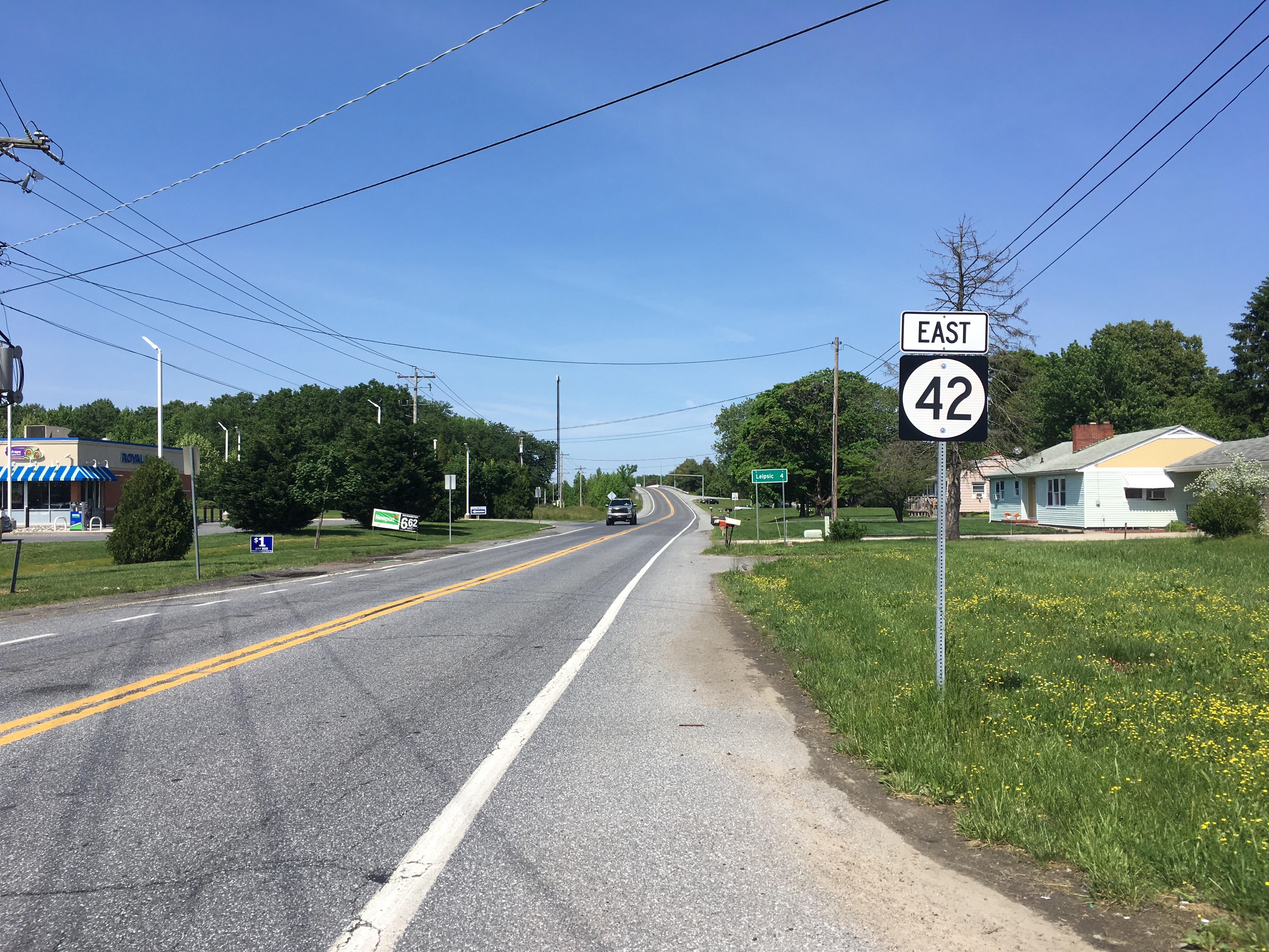
Delaware Route 42 (DE 42) is a state highway in Kent County, Delaware. It runs from Delaware Route 6, DE 6 in Blackiston, Delaware, Blackiston east to Delaware Route 9, DE 9 in Leipsic, Delaware, Leipsic. DE 42 passes through rural areas along with the towns of Kenton, Delaware, Kenton and Cheswold, Delaware, Cheswold. The route intersects Delaware Route 300, DE 300 in Kenton, runs concurrency (road), concurrent with Delaware Route 15, DE 15 between Seven Hickories, Delaware, Seven Hickories and Moores Corner, Delaware, Moores Corner, and crosses U.S. Route 13 in Delaware, U.S. Route 13 (US 13) in Cheswold. The road was built as a state highway during the 1920s and 1930s. DE 42 was designated by 1936 between Kenton and Leipsic and extended to Blackiston by 1966. Route description DE 42 begins at an intersection with Delaware Route 6, DE 6 in the community of Blackiston, Delaware, Blackiston. Northwest of DE 6, ... [...More Info...] [...Related Items...] OR: [Wikipedia] [Google] [Baidu] |
Delaware Department Of Transportation
The Delaware Department of Transportation (DelDOT) is an agency of the U.S. state of Delaware. The Secretary of Transportation is Nicole Majeski. The agency was established in 1917 and has its headquarters in Dover. The department's responsibilities include maintaining 89 percent of the state's public roadways (the Delaware State Route System) totaling 13,507 lane miles, snow removal, overseeing the "Adopt-A-Highway" program, overseeing E-ZPass Delaware, the Division of Motor Vehicles (DMV), and the Delaware Transit Corporation (known as DART First State). DelDOT maintains a 24/7 Traffic Management Center in Smyrna at the State Emergency Operations Center. At that location, they monitor traffic conditions, operate traffic lights, and broadcast on 1380 AM via WTMC radio. Since 1969, the agency has also maintained a transportation library on Bay Road in Dover. On February 18, 2011, Sec. Carolann Wicks, who had been Secretary of Transportation since 2006, resigned. On March ... [...More Info...] [...Related Items...] OR: [Wikipedia] [Google] [Baidu] |
Maryland Route 313
Maryland Route 313 (MD 313) is a state highway located on the Eastern Shore of Maryland in the United States. The route runs from U.S. Route 50 (US 50) in Mardela Springs, Wicomico County north to MD 213 and MD 290 in Galena, Kent County. It is predominantly a rural two-lane undivided road that runs through agricultural areas a short distance west of the Delaware state line, with the exception of a four-lane divided bypass of Denton that is concurrent with MD 404. MD 313 serves many communities, including Sharptown, Eldorado, Federalsburg, Maryland, Federalsburg, Denton, Greensboro, Maryland, Greensboro, Goldsboro, Maryland, Goldsboro, Barclay, Maryland, Barclay, Sudlersville, Maryland, Sudlersville, Millington, Maryland, Millington, and Massey, Maryland, Massey. The route intersects many major roads, including Maryland Route 54, MD 54 in Mardela Springs, MD 404 in the Denton area, Maryland Route 302, MD 302 in Barc ... [...More Info...] [...Related Items...] OR: [Wikipedia] [Google] [Baidu] |
Millington, Maryland
Millington is a town in Kent County, Maryland, Kent and Queen Anne's County, Maryland, Queen Anne's counties in the U.S. state of Maryland. The population was 642 at the 2010 United States Census, 2010 census. Millington is the head of navigation for the Chester River. History The John Embert Farm was listed on the National Register of Historic Places in 1980. Geography Millington is located at (39.259355, -75.838666). According to the United States Census Bureau, the town has a total area of , of which is land and is water. Transportation The primary means of transportation to and from Millington is by road, and the town is served by two state highways. Maryland Route 291 traverses the town east-west, while Maryland Route 313 heads north and south from Millington. Both roads connect with U.S. Route 301 in Maryland, U.S. Route 301 to the northwest, providing high-speed access to nearby metropolitan areas such as Philadelphia and Washington D.C.. Climate The climate in this a ... [...More Info...] [...Related Items...] OR: [Wikipedia] [Google] [Baidu] |
Federal Highway Administration
The Federal Highway Administration (FHWA) is a division of the United States Department of Transportation that specializes in highway transportation. The agency's major activities are grouped into two programs, the Federal-aid Highway Program and the Federal Lands Highway Program. Its role had previously been performed by the Office of Road Inquiry, Office of Public Roads and the Bureau of Public Roads. History Background The organization has several predecessor organizations and complicated history. The Office of Road Inquiry (ORI) was founded in 1893. In 1905, that organization's name was changed to the Office of Public Roads (OPR) which became a division of the United States Department of Agriculture. The name was changed again to the Bureau of Public Roads in 1915 and to the Public Roads Administration (PRA) in 1939. It was then shifted to the Federal Works Agency which was abolished in 1949 when its name reverted to Bureau of Public Roads under the Department of Commerce ... [...More Info...] [...Related Items...] OR: [Wikipedia] [Google] [Baidu] |
National Highway System (United States)
The National Highway System (NHS) is a network of strategic highways within the United States, including the Interstate Highway System and other roads serving major airports, ports, military bases, rail or truck terminals, railway stations, pipeline terminals and other strategic transport facilities. Altogether, it constitutes the largest highway system in the world. Individual states are encouraged to focus federal funds on improving the efficiency and safety of this network. The roads within the system were identified by the United States Department of Transportation (USDOT) in cooperation with the states, local officials, and metropolitan planning organizations (MPOs) and approved by the United States Congress in 1995. Legislation The Intermodal Surface Transportation Efficiency Act (ISTEA) in 1991 established certain key routes such as the Interstate Highway System, be included. The act provided a framework to develop a National Intermodal Transportation System which "cons ... [...More Info...] [...Related Items...] OR: [Wikipedia] [Google] [Baidu] |
Annual Average Daily Traffic
Annual average daily traffic, abbreviated AADT, is a measure used primarily in transportation planning, transportation engineering and retail location selection. Traditionally, it is the total volume of vehicle traffic of a highway or road for a year divided by 365 days. AADT is a simple, but useful, measurement of how busy the road is. AADT is the standard measurement for vehicle traffic load on a section of road, and the basis for most decisions regarding transport planning, or to the environmental hazards of pollution related to road transport. Uses One of the most important uses of AADT is for determining funding for the maintenance and improvement of highways. In the United States the amount of federal funding a state will receive is related to the total traffic measured across its highway network. Each year on June 15, every state in the United States submits Highway Performance Monitoring System HPMS">Highway Performance Monitoring System">Highway Performance Monitoring Sy ... [...More Info...] [...Related Items...] OR: [Wikipedia] [Google] [Baidu] |
Dyke Branch (Leipsic River Tributary)
Dyke Branch is a long 2nd order tributary to the Leipsic River in Kent County, Delaware. Course Dyke Branch rises on the Fork Branch divide about 0.25 miles southeast of Cheswold, Delaware. Dyke Branch then flows northeast to meet the Leipsic River at Leipsic. Watershed Dyke Branch drains of area, receives about 45.1 in/year of precipitation, has a topographic wetness index The topographic wetness index (TWI), also known as the compound topographic index (CTI), is a steady state wetness index. It is commonly used to quantify topographic control on hydrological processes. The index is a function of both the slope and t ... of 670.15 and is about 5% forested. References Rivers of Delaware Rivers of Kent County, Delaware Tributaries of the Leipsic River {{Delaware-geo-stub ... [...More Info...] [...Related Items...] OR: [Wikipedia] [Google] [Baidu] |
Leipsic River
The Leipsic River is a riverU.S. Geological Survey. National Hydrography Dataset high-resolution flowline dataThe National Map, accessed April 1, 2011 in central Delaware in the United States. It rises in northern Kent County, approximately northwest of Dover. It flows generally east, past Leipsic and entering Delaware Bay approximately northeast of Dover. The mouth of the river on Delaware Bay is surrounded by extensive wetlands that are protected as part of Bombay Hook National Wildlife Refuge. See also *List of Delaware rivers A ''list'' is any set of items in a row. List or lists may also refer to: People * List (surname) Organizations * List College, an undergraduate division of the Jewish Theological Seminary of America * SC Germania List, German rugby union ... References External linksEPA: Lower Leipsic River Rivers of Delaware Rivers of Kent County, Delaware Tributaries of Delaware Bay {{Delaware-river-stub ... [...More Info...] [...Related Items...] OR: [Wikipedia] [Google] [Baidu] |
Delaware Route 1
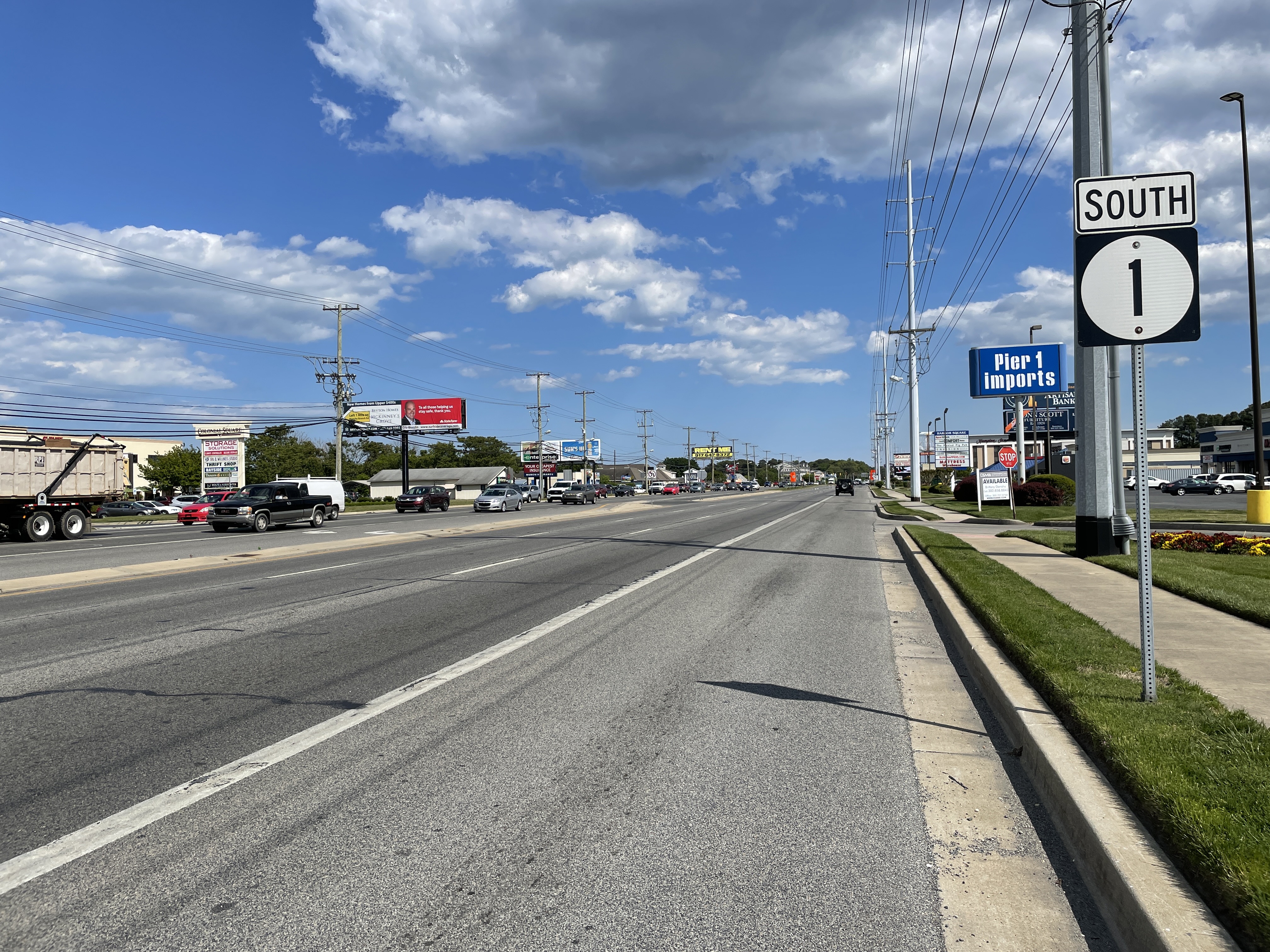
Delaware Route 1 (DE 1) is the longest numbered state highway in the U.S. state of Delaware. The route runs from the Maryland state line in Fenwick Island, Sussex County, where the road continues south into that state as Maryland Route 528 (MD 528), north to an interchange with Interstate 95 (I-95) in Christiana, New Castle County, where the road continues north as part of DE 7. Between Fenwick Island and Dover Air Force Base in Dover, Kent County, DE 1 is a multilane divided highway with at-grade intersections and occasional interchanges. The route heads north through the Delaware Beaches resort area along the Atlantic Ocean before it runs northwest through rural areas, turning north at Milford to continue to Dover. Upon reaching Dover, DE 1 becomes the Korean War Veterans Memorial Highway, a freeway that is partially tolled. Between Dover and Tybouts Corner, DE 1 parallels U.S. Route 13 (US 13), crossing over and ... [...More Info...] [...Related Items...] OR: [Wikipedia] [Google] [Baidu] |
Bishops Corner, Delaware
Bishops Corner is an unincorporated community in Kent County, Delaware, United States. Bishops Corner is located at the intersection of U.S. Route 13 and Delaware Route 42 Delaware Route 42 (DE 42) is a state highway in Kent County, Delaware. It runs from Delaware Route 6, DE 6 in Blackiston, Delaware, Blackiston east to Delaware Route 9, DE 9 in Leipsic, Delaware, Leipsic. DE 42 passes th ..., east of Cheswold. References External links * Unincorporated communities in Kent County, Delaware Unincorporated communities in Delaware {{Delaware-geo-stub ... [...More Info...] [...Related Items...] OR: [Wikipedia] [Google] [Baidu] |
Delmarva Central Railroad
The Delmarva Central Railroad is an American short-line railroad owned by Carload Express that operates of track on the Delmarva Peninsula in the states of Delaware, Maryland, and Virginia. The railroad operates lines from Porter, Delaware to Hallwood, Virginia and from Harrington, Delaware to Frankford, Delaware along with several smaller branches. The DCR interchanges with the Norfolk Southern Railway and the Maryland and Delaware Railroad. The railroad was created in 2016 to take over the Norfolk Southern Railway lines on the Delmarva Peninsula. The DCR expanded by taking over part of the Bay Coast Railroad in 2018 and the Delaware Coast Line Railroad in 2019. Operations The DCR operates on of trackage on the Delmarva Peninsula in the states of Delaware, Maryland, and Virginia. The DCR's main line runs from Porter, Delaware south to Pocomoke City, Maryland on the Delmarva Subdivision, with the section leading into Pocomoke City called the Pocomoke Industrial Track. The main ... [...More Info...] [...Related Items...] OR: [Wikipedia] [Google] [Baidu] |


