|
Drexeline (SEPTA Route 101 Station)
Drexeline station is a SEPTA Route 101 trolley stop in Drexel Hill, Pennsylvania. It is located near Woodland Avenue behind Drexeline Shopping Center in the Drexelbrook area. It is also located northeast of a bridge over Darby Creek near Indian Rock Park, a Natural Environmental Park, containing picnic tables, playground equipment, and basketball courts. Drexeline is the closest stop on the entire Media-Sharon Hill trolley line system to . Trolleys arriving at this station travel between 69th Street Terminal in |
Drexel Hill, Pennsylvania
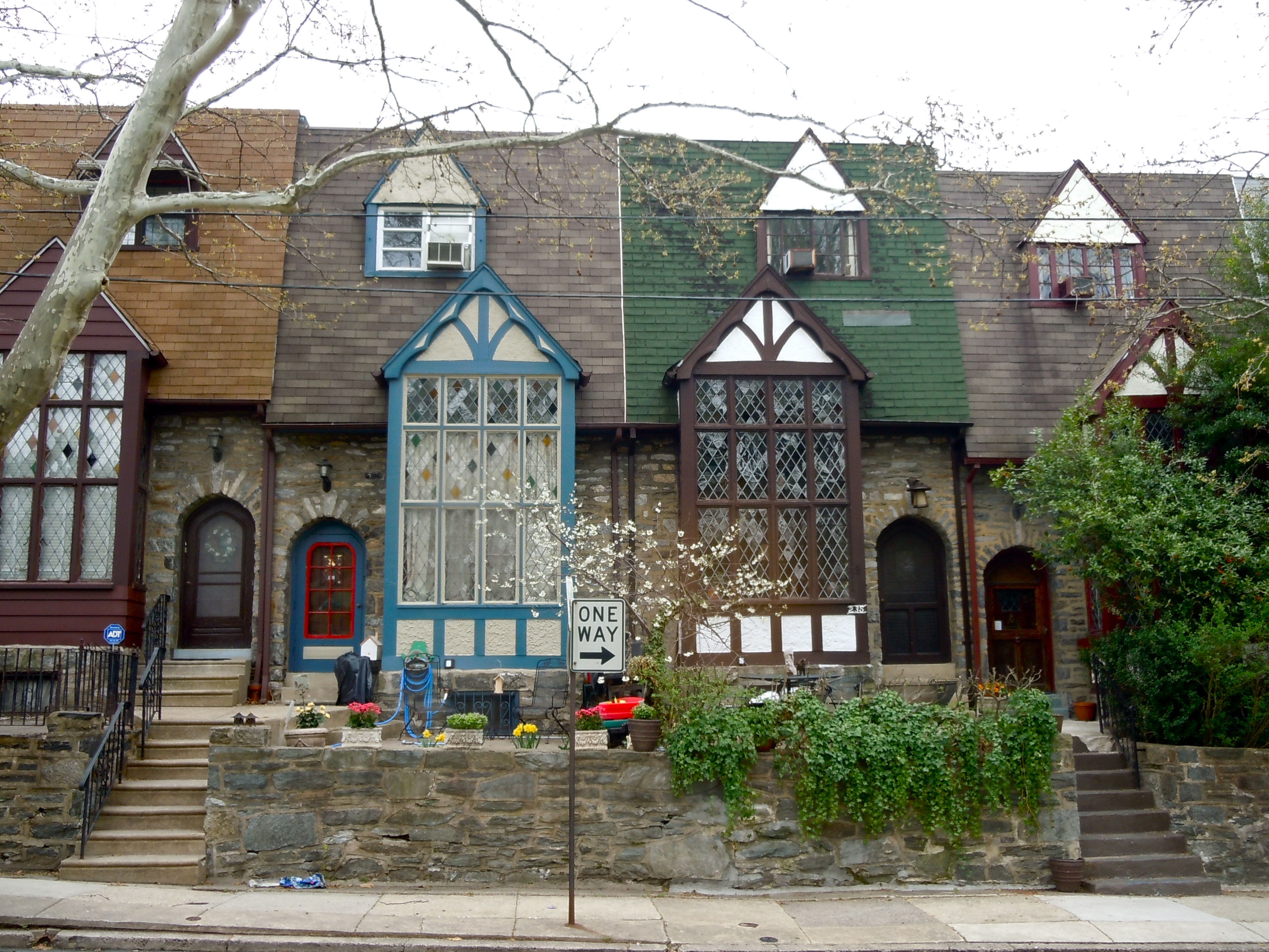
Drexel Hill is a neighborhood and census-designated place (CDP) located in Upper Darby, Pennsylvania. The population was 29,181 at the 2020 census, up from 28,043 at the 2010 census, and accounting for over a third of Upper Darby's population. Geography Drexel Hill is located in the western part of Upper Darby Township at (39.949962, -75.301841). The neighborhood is 8 miles from Center City, Philadelphia and is bordered to the north by Haverford Township, to the east by the Kirklyn, Highland Park, Beverly Hills, and Bywood neighborhoods of Upper Darby, to the southeast by the borough of Lansdowne, to the south by the borough of Clifton Heights and the Westbrook Park neighborhood of Upper Darby, and to the southwest by Springfield Township. Darby Creek forms the southwestern/southern border of the CDP. U.S. Route 1 (Township Line Road) runs through the northwest corner of the CDP and forms most of its northern border with Haverford Township. The CDP has a total area of , all l ... [...More Info...] [...Related Items...] OR: [Wikipedia] [Google] [Baidu] |
Side Platform
A side platform (also known as a marginal platform or a single-face platform) is a platform positioned to the side of one or more railway tracks or guideways at a railway station, tram stop, or transitway. A station having dual side platforms, one for each direction of travel, is the basic design used for double-track railway lines (as opposed to, for instance, the island platform where a single platform lies between the tracks). Side platforms may result in a wider overall footprint for the station compared with an island platform where a single width of platform can be shared by riders using either track. In some stations, the two side platforms are connected by a footbridge running above and over the tracks. While a pair of side platforms is often provided on a dual-track line, a single side platform is usually sufficient for a single-track line. Layout Where the station is close to a level crossing (grade crossing) the platforms may either be on the same side of the cross ... [...More Info...] [...Related Items...] OR: [Wikipedia] [Google] [Baidu] |
Overhead Lines
An overhead line or overhead wire is an electrical cable that is used to transmit electrical energy to electric locomotives, trolleybuses or trams. It is known variously as: * Overhead catenary * Overhead contact system (OCS) * Overhead equipment (OHE) * Overhead line equipment (OLE or OHLE) * Overhead lines (OHL) * Overhead wiring (OHW) * Traction wire * Trolley wire This article follows the International Union of Railways in using the generic term ''overhead line''. An overhead line consists of one or more wires (or rails, particularly in tunnels) situated over rail tracks, raised to a high electrical potential by connection to feeder stations at regular intervals. The feeder stations are usually fed from a high-voltage electrical grid. Overview Electric trains that collect their current from overhead lines use a device such as a pantograph, bow collector or trolley pole. It presses against the underside of the lowest overhead wire, the contact wire. Current collectors are ... [...More Info...] [...Related Items...] OR: [Wikipedia] [Google] [Baidu] |
SEPTA
The Southeastern Pennsylvania Transportation Authority (SEPTA) is a regional public transportation authority that operates bus, rapid transit, commuter rail, light rail, and electric trolleybus services for nearly 4 million people in five counties in and around Philadelphia, Pennsylvania. It also manages projects that maintain, replace and expand its infrastructure, facilities and vehicles. SEPTA is the major transit provider for Philadelphia and the counties of Delaware, Montgomery, Bucks, and Chester. It is a state-created authority, with the majority of its board appointed by the five Pennsylvania counties it serves. While several SEPTA commuter rail lines terminate in the nearby states of Delaware and New Jersey, additional service to Philadelphia from those states is provided by other agencies: the PATCO Speedline from Camden County, New Jersey is run by the Delaware River Port Authority, a bi-state agency; NJ Transit operates many bus lines and a commuter rail line to ... [...More Info...] [...Related Items...] OR: [Wikipedia] [Google] [Baidu] |
SEPTA Route 101
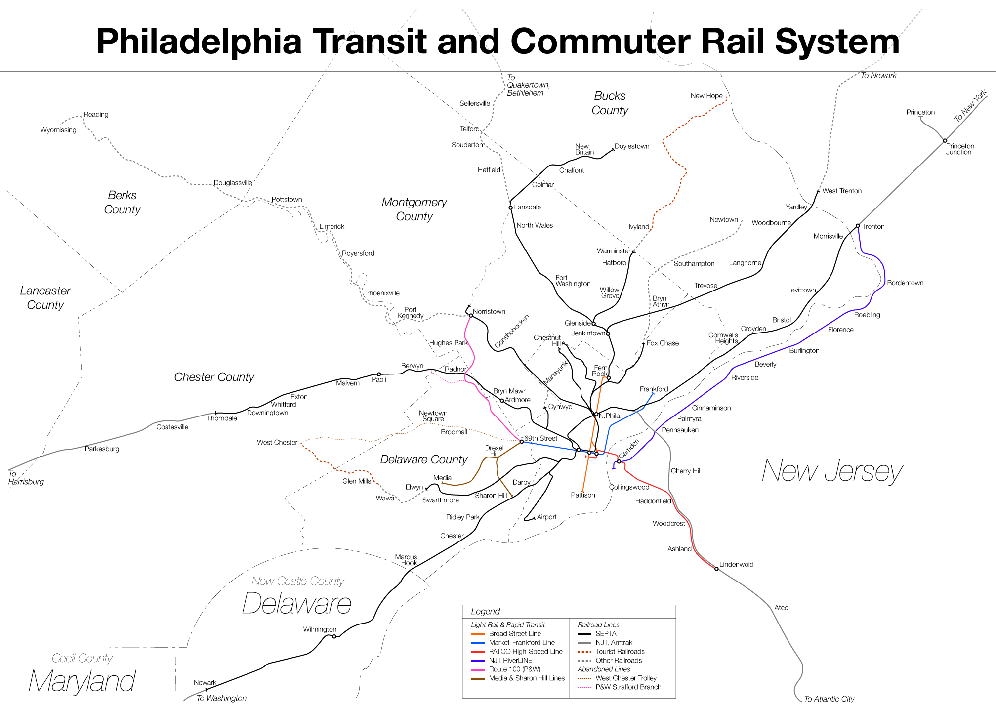
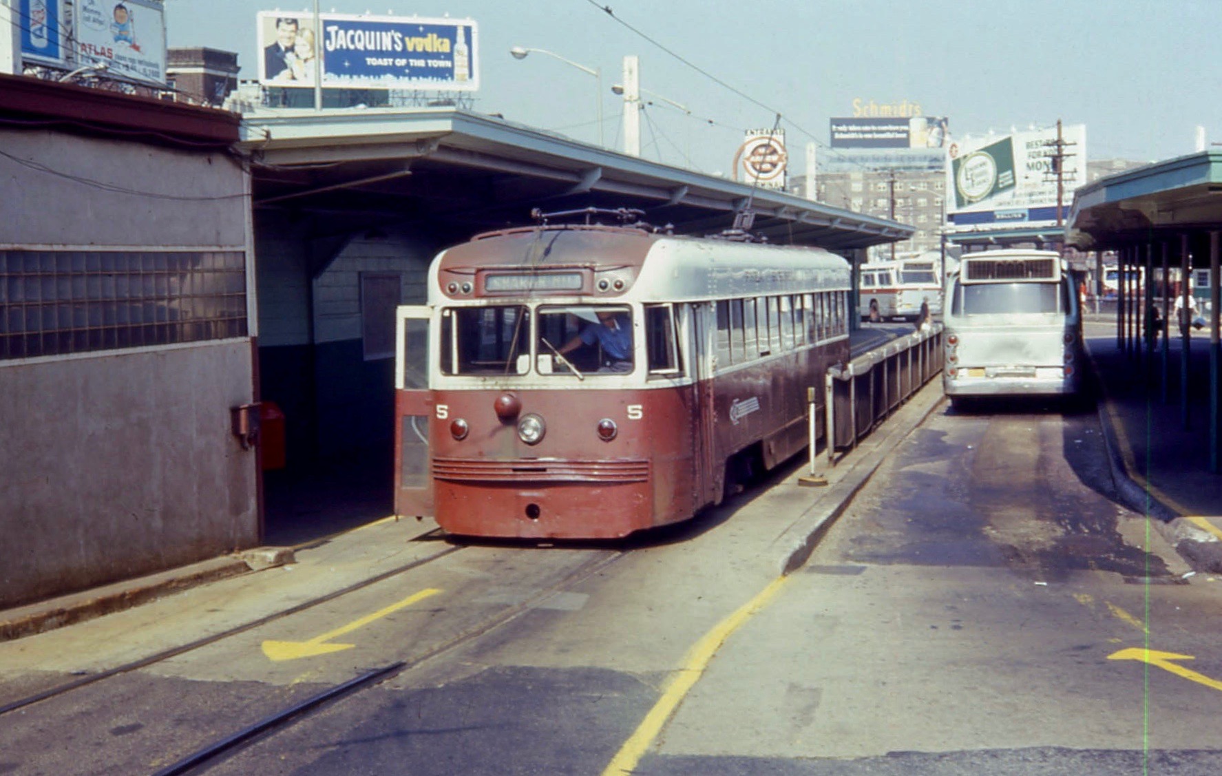
SEPTA Routes 101 and 102, also known as the Media–Sharon Hill Line, are light rail lines operated by the Suburban Transit Division of the Southeastern Pennsylvania Transportation Authority, serving portions of Delaware County. The routes' eastern terminus is 69th Street Transportation Center in Upper Darby, Pennsylvania. Route 101 runs to Media, while Route 102 goes to Sharon Hill. Altogether, the two lines operate on approximately of route. The lines were formerly interurbans. Along with the Norristown High Speed Line, formerly the Philadelphia and Western Railroad, the routes are the remaining lines of the Red Arrow Lines Trolley System once operated by the Philadelphia Suburban Transportation Company (successor to the Philadelphia and West Chester Traction Company); some local residents still call them "Red Arrow". This route uses 29 Kawasaki Heavy Industries Rolling Stock Company Type K LRV cars similar to those used on the SEPTA Subway–Surface Trolley Lines. Howeve ... [...More Info...] [...Related Items...] OR: [Wikipedia] [Google] [Baidu] |
Darby Creek (Pennsylvania)
Darby Creek (historically known as Church Creek or the Derby River) is a tributary of the Delaware River in Chester, Delaware and Philadelphia counties, in the U.S. Commonwealth of Pennsylvania. It is approximately long. The watershed of the creek has an area of . It has twelve named direct tributaries, including Cobbs Creek, Little Darby Creek, Ithan Creek, and Muckinipattis Creek. The creek has a low level of water quality for most of its length. The lower Darby Creek area was deemed a Superfund site by the U.S. Environmental Protection Agency (EPA) due to contamination with dangerous chemicals from two landfills. Darby Creek flows through a narrow valley in its upper reaches and a tidal flat in its lower reaches. The creek is in the Piedmont Uplands and Atlantic Coastal Plain physiographic provinces. Major rock formations in the watershed include the Wissahickon Formation. Three small dams historically existed on the creek, but were removed in 2012. The watershed of the ... [...More Info...] [...Related Items...] OR: [Wikipedia] [Google] [Baidu] |
69th Street Terminal
The 69th Street Transportation Center is a SEPTA terminal in the Terminal Square section of Upper Darby, Pennsylvania, just west of the city limits of Philadelphia. The terminal serves the Market–Frankford Line, Norristown High Speed Line, and the Media–Sharon Hill Line trolleys, and multiple bus routes. It is located at the end of 69th Street, a major retail corridor in Upper Darby, across Market Street ( Route 3) from the Tower Theater. Until 2011, the station was primarily known as 69th Street Terminal. 69th Street is the second busiest transfer point in the SEPTA system (after 15th Street/ City Hall station) serving 35,000 passengers every weekday. It is also the only SEPTA facility to serve both City Transit and Suburban Transit routes. History 69th Street is one of the original Market Street Elevated stations built by the Philadelphia Rapid Transit Company; the line opened for service on March 4, 1907 between here and stations. Shortly after on May 22 of the same yea ... [...More Info...] [...Related Items...] OR: [Wikipedia] [Google] [Baidu] |
Upper Darby Township, Pennsylvania
Upper Darby Township, often shortened to Upper Darby, is a home rule township in Delaware County, Pennsylvania. The township borders Philadelphia, the nation's sixth most populous city as of 2020 with 1.6 million residents. As of the 2020 census, the township had a total population of 85,681, making it the sixth most populated city or borough in Pennsylvania, after Philadelphia, Pittsburgh, Allentown, Reading, and Erie. Upper Darby is 65% residential, 25% commercial, and 8% other. Upper Darby is home to the Tower Theater, a historic music venue on 69th Street built in the 1920s, and is also home to several Underground Railroad sites. Upper Darby's population is diverse, representing over 100 ethnic cultures. The township hosts a range of housing types including densely populated rowhouse sections similar to houses in neighboring West Philadelphia, tree-lined neighborhoods of turn-of-the-century single-family houses and mid-century developments. Because of a home-rule cha ... [...More Info...] [...Related Items...] OR: [Wikipedia] [Google] [Baidu] |
Media, Pennsylvania
Media is a borough in and the county seat of Delaware County, Pennsylvania. It is located about west of Philadelphia, the sixth most populous city in the nation with 1.6 million residents as 2020. It is part of the Delaware Valley metropolitan statistical area. Media was incorporated in 1850 at the same time that it was named the county seat. As of the 2020 U.S. census, the population was 5,991. History The history of the area goes back to William Penn, but the area remained predominantly rural until the twentieth century. Land in the area was sold and settled soon after William Penn was named proprietor of the colony of Pennsylvania in 1681 by King Charles II of England. Peter and William Taylor bought the land where Media is now located, directly from Penn.''Media: A Walking Tour'', published by the Borough of Media, 1990 At the time, the land was located in Chester County. Providence Township was organized in 1684, and later divided into Upper Providence and Nether P ... [...More Info...] [...Related Items...] OR: [Wikipedia] [Google] [Baidu] |
Springfield Mall (Pennsylvania)
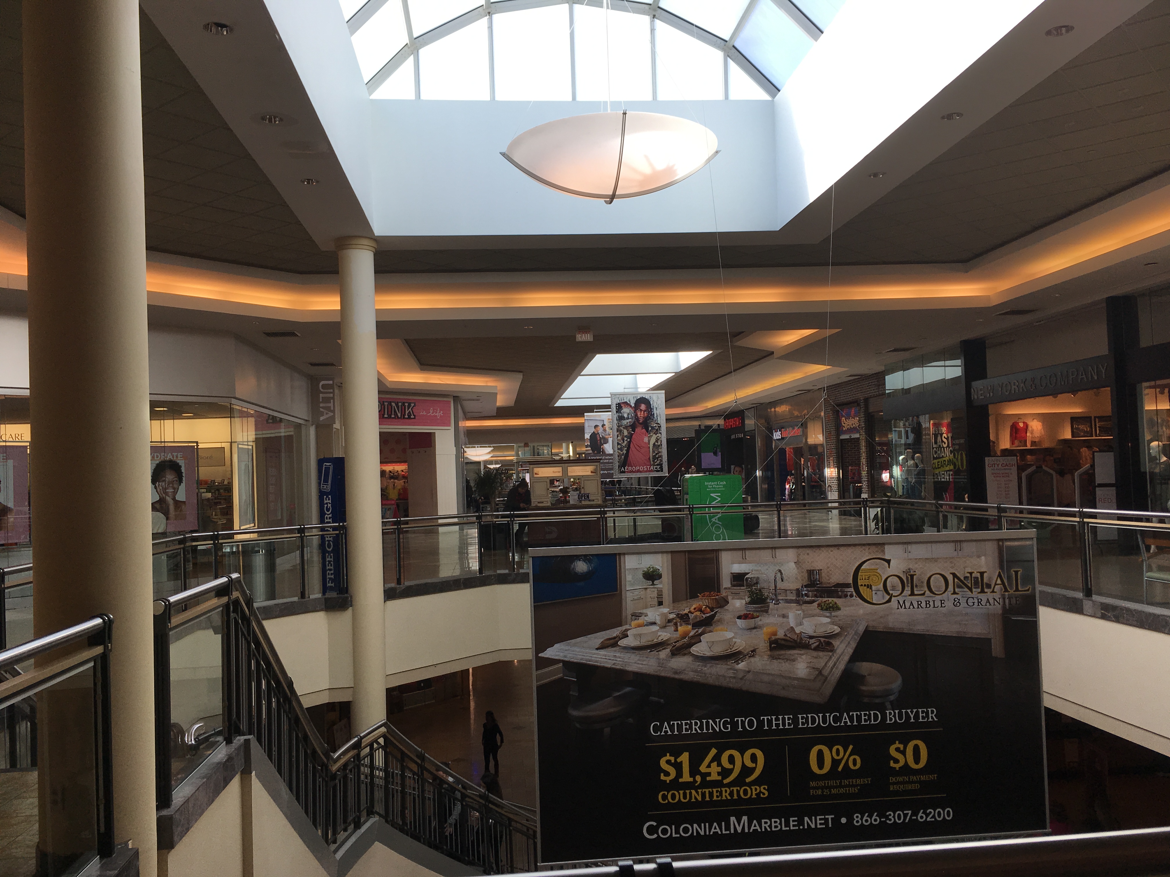
Springfield Mall is a regional shopping mall located approximately southwest of Philadelphia in Springfield Township, Delaware County, Pennsylvania. It is located just off Interstate 476 (the "Blue Route") along Baltimore Pike, near its busy intersection with Pennsylvania Route 320. It is serviced by a number of SEPTA bus lines as well as the mass transit system's Route 101 trolley line at the Springfield Mall station, a rarity for suburban Philadelphia shopping malls, many of which are served solely by bus routes. Springfield Mall is owned jointly by the Simon Property Group and the Pennsylvania Real Estate Investment Trust (each with a 50 percent stake), and is managed by PREIT. It is currently anchored by a Macy's and Target, the latter replacing a Strawbridge's anchor store. Full service dining options include Carrabba's Italian Grill. Fast food dining options include Sbarro, Auntie Anne's Pretzels, Asian Bistro and Tony Luke's. History Springfield Mall opened on Sep ... [...More Info...] [...Related Items...] OR: [Wikipedia] [Google] [Baidu] |
.jpg)


