|
Dalystown
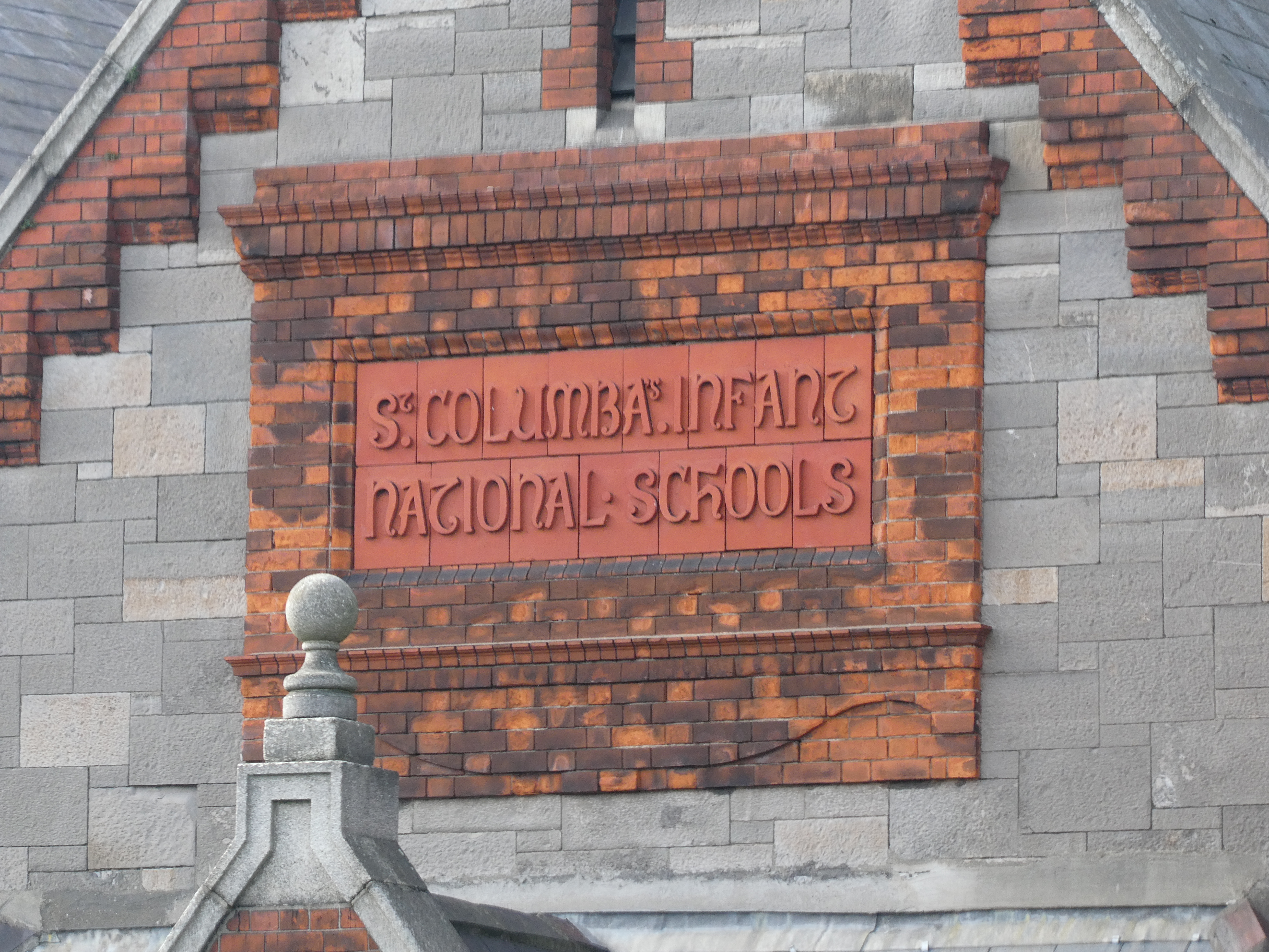
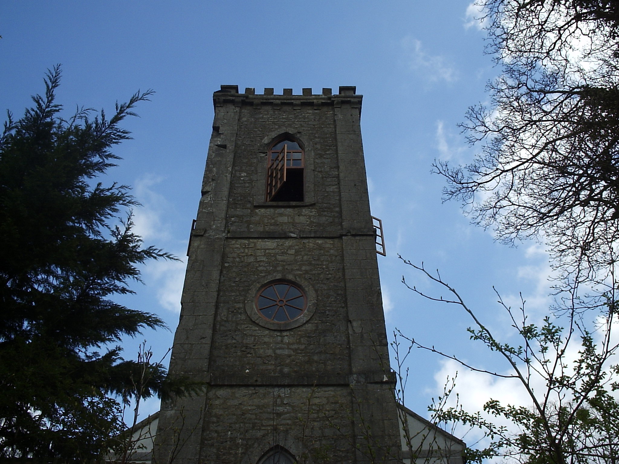
Dalystown () is a village in Carrick, County Westmeath, Ireland. It is located in the south of the county on the N52 road, to the north of Tyrrellspass and Rochfortbridge. The village contains a National school, and a public house. Lough Ennell is to the north of the village. Dalystown House A two story house dating back to c1820 stands in the village. The building features a natural slate roof, rendered chimney stacks and a number of stone outbuildings. See also * List of towns and villages in Ireland * Carrick, County Westmeath Carrick is a townland in County Westmeath, Ireland. The townland is located in the civil parish of the same name. The N52 motorway cuts through the middle of the townland, and Lough Ennell borders it to the west. Carrick House Carrick house i ... References Towns and villages in County Westmeath {{Westmeath-geo-stub ... [...More Info...] [...Related Items...] OR: [Wikipedia] [Google] [Baidu] |
N52 Road (Ireland)
The N52 road is a national secondary road in Ireland. It links the M7 motorway from just south of Nenagh, County Tipperary to the M1 motorway north of Dundalk in County Louth. The route forms a connection between the north east of Ireland and the mid west traversing the midlands. It interchanges with the M6 at Kilbeggan and at Tyrrellspass, the N4 at Mullingar, the N3 at Kells, and the N2 at Ardee before continuing towards Dundalk. The road is long. Quality of Road The road is mainly single carriageway two-lane throughout. It has some upgraded sections, but generally the standard is poor or very poor. It starts (from the southwest) at a grade separated junction with the M7 motorway and bypasses Nenagh on its western side as single carriageway. Past Nenagh, it is generally a single carriageway road with no hard shoulders all the way to Birr. Many sections of this part of the route are very poor through County Tipperary with sharp bends. The route from Birr to Tullamore ... [...More Info...] [...Related Items...] OR: [Wikipedia] [Google] [Baidu] |
Republic Of Ireland
Ireland ( ga, Éire ), also known as the Republic of Ireland (), is a country in north-western Europe consisting of 26 of the 32 counties of the island of Ireland. The capital and largest city is Dublin, on the eastern side of the island. Around 2.1 million of the country's population of 5.13 million people resides in the Greater Dublin Area. The sovereign state shares its only land border with Northern Ireland, which is part of the United Kingdom. It is otherwise surrounded by the Atlantic Ocean, with the Celtic Sea to the south, St George's Channel to the south-east, and the Irish Sea to the east. It is a unitary, parliamentary republic. The legislature, the , consists of a lower house, ; an upper house, ; and an elected President () who serves as the largely ceremonial head of state, but with some important powers and duties. The head of government is the (Prime Minister, literally 'Chief', a title not used in English), who is elected by the Dáil and appointed by ... [...More Info...] [...Related Items...] OR: [Wikipedia] [Google] [Baidu] |
Westmeath
"Noble above nobility" , image_map = Island of Ireland location map Westmeath.svg , subdivision_type = Country , subdivision_name = Ireland , subdivision_type1 = Province , subdivision_name1 = , subdivision_type2 = Region , subdivision_name2 = Eastern and Midland , seat_type = County town , seat = Mullingar , parts_type = Largest settlement , parts = Athlone , leader_title = Local authority , leader_name = Westmeath County Council , leader_title2 = Dáil constituencies , leader_name2 = , leader_title3 = EP constituency , leader_name3 = Midlands–North-West , area_total_km2 = 1840 , area_rank = 21st , population_total = 95,840. , population_as_of = 2022 , population_footnotes = , population_density_km2 = auto , population_rank = 22nd , blank_name ... [...More Info...] [...Related Items...] OR: [Wikipedia] [Google] [Baidu] |
List Of Towns And Villages In The Republic Of Ireland
This is a link page for cities, towns and villages in the Republic of Ireland, including townships or urban centres in Dublin, Cork, Limerick, Galway, Waterford and other major urban areas. Cities are shown in bold; see City status in Ireland for an independent list. __NOTOC__ A B C D E F G H I J K L M N O P Q R S T U V W Y See also *List of places in Ireland ** List of places in the Republic of Ireland **: List of cities, boroughs and towns in the Republic of Ireland, with municipal councils and legally defined boundaries. **: List of census towns in the Republic of Ireland as defined by the Central Statistics Office, sorted by county. Includes non-municipal towns and suburbs outside municipal boundaries. ** List of towns in the Republic of Ireland by population **: List of towns in the Republic of Ireland/2002 Census Records **: List of towns in the Republic of Ireland/2006 Censu ... [...More Info...] [...Related Items...] OR: [Wikipedia] [Google] [Baidu] |
Outhouse
An outhouse is a small structure, separate from a main building, which covers a toilet. This is typically either a pit latrine or a bucket toilet, but other forms of dry toilet, dry (non-flushing) toilets may be encountered. The term may also be used to denote the toilet itself, not just the structure. Outhouses were in use in cities of Developed country, developed countries (e.g. Australia) well into the second half of the twentieth century. They are still common in rural areas and also in cities of developing countries. Outhouses that are covering pit latrines in densely populated areas can cause groundwater pollution. Increasingly, "outhouse" is used for a structure outside the main living property that is more permanent in build quality than a shed. In some localities and varieties of English, particularly outside North America, the term "outhouse" refers ''not'' to a toilet, but to outbuildings in a general sense: sheds, barns, workshops, etc. Design aspects Common ... [...More Info...] [...Related Items...] OR: [Wikipedia] [Google] [Baidu] |
Chimney
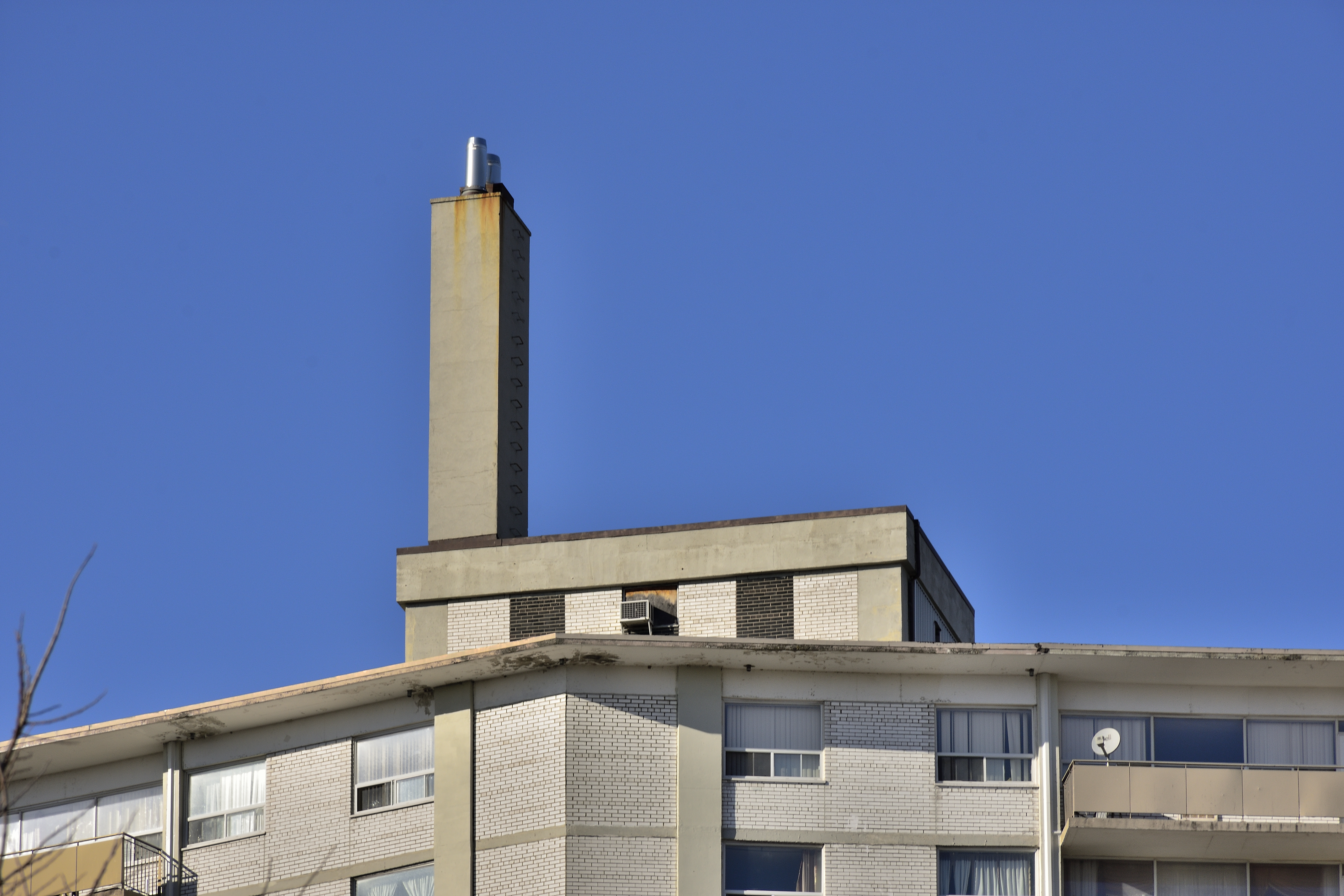
A chimney is an architectural ventilation structure made of masonry, clay or metal that isolates hot toxic exhaust gases or smoke produced by a boiler, stove, furnace, incinerator, or fireplace from human living areas. Chimneys are typically vertical, or as near as possible to vertical, to ensure that the gases flow smoothly, drawing air into the combustion in what is known as the stack, or chimney effect. The space inside a chimney is called the ''flue''. Chimneys are adjacent to large industrial refineries, fossil fuel combustion facilities or part of buildings, steam locomotives and ships. In the United States, the term ''smokestack industry'' refers to the environmental impacts of burning fossil fuels by industrial society, including the electric industry during its earliest history. The term ''smokestack'' (colloquially, ''stack'') is also used when referring to locomotive chimneys or ship chimneys, and the term ''funnel'' can also be used. The height of a chim ... [...More Info...] [...Related Items...] OR: [Wikipedia] [Google] [Baidu] |
Lough Ennell
Lough Ennell () is a lake near the town of Mullingar, County Westmeath, Ireland. It is situated beside the N52 road, off the Mullingar/ Kilbeggan road. The lake is part of the Lough Ennell Special Protection Area. It is long by wide, with an area of about . Lough Ennell has a large area of shallow water with nearly two-thirds of its area being less than 25 feet (8 m) and almost half of it being under deep. The lake produced Ireland's largest ever lake brown trout at 26 lbs (11.8 kg). The main river flowing into Lough Ennell is the River Brosna, which enters on the Mullingar side of the lake and exits on the opposite side at Lilliput. Lilliput and Lilliput House were frequently used by Jonathan Swift as a holiday home and place to write, local tradition states that Jonathan Swift was in a boat on the lake when he looked back at Lilliput and noticed how small the people looked at that distance, hence the inspiration for his most famous book '' Gulliver's Travels''. L ... [...More Info...] [...Related Items...] OR: [Wikipedia] [Google] [Baidu] |
National School (Ireland)
In Ireland, a national school () is a type of primary school that is financed directly by the state, but typically administered jointly by the state, a patron body, and local representatives. In national schools, most major policies, such as the curriculum and teacher salaries and conditions, are managed by the state through the Department of Education and Skills. Minor policies of the school are managed by local people, sometimes directed by a member of the clergy, as representative of the patron, through a local 'board of management'. Most primary schools in Ireland fall into this category, which is a pre-independence concept. While there are other forms of primary school in Ireland, including a relatively small number of private denominational schools which do not receive state aid, there were just 34 such private primary schools in 2012, with a combined enrollment of 7,600 pupils. By comparison there were, as of 2019, over 3,200 national schools in Ireland with a combined en ... [...More Info...] [...Related Items...] OR: [Wikipedia] [Google] [Baidu] |
Rochfortbridge
Rochfortbridge () is a village in County Westmeath, Republic of Ireland, Ireland. The village is located at the intersection of the R400 road (Ireland), R400 and the R446 road, R446 (formerly the N6 road (Ireland), N6) roads. As of the 2016 census, the population of Rochfortbridge was 1,473. History Rochfortbridge is spread between the townlands of Castlelost and Rahanine, both within Castlelost (civil parish), Castlelost parish, which was inhabited at least as early as 590 AD by monks under Mo Chutu of Lismore, Mo Chutu (later St. Carthage). The village was originally known as Beggar's Bridge, supposedly after a beggar who died at a river crossing; enough money was found in his pockets to build a bridge. The village proper was set out 1700 by Robert Rochfort, Parliament of Ireland, MP for Westmeath from 1651 to 1727. As part of the village building programme, Rochfort financed and built a new bridge over the River Derry, giving the village its new name. Followi ... [...More Info...] [...Related Items...] OR: [Wikipedia] [Google] [Baidu] |
Tyrrellspass
Tyrrellspass (, IPA: �bʲaləxˈanˠˈtʲɪɾʲiəliː is a Georgian village in County Westmeath, Ireland. It is from Dublin, in the south of the county on the R446 (formerly the N6) road. Tyrrellspass won the Irish Tidy Towns Competition in 1969. As of the census in April 2016, the population of Tyrrellspass was 483. History The origins of the village settlement lie in the Nine Years' War ( 1594- 1603), also called Tyrone's Rebellion. In 1597 there was a battle in Tyrrellspass and the Irish, between 300 and 400 strong and led by Richard Tyrrell, attacked and defeated the English army. Out of 1,000 English troops only one survived. There is a historic castle on the edge of the town, built by Richard Tyrrell, a chief ally of Aodh Mór Ó Néill in the Nine Years' War. It is the only remaining castle of the Tyrrells, who came to Ireland around the time of the Norman invasion. The current core of the village is a planned estate village dating from the late 18th century, and w ... [...More Info...] [...Related Items...] OR: [Wikipedia] [Google] [Baidu] |
Carrick, County Westmeath (civil Parish)
Carrick () is a civil parish in County Westmeath, Ireland. It is located about south of Mullingar. Carrick is one of 10 civil parishes in the barony of Fartullagh in the Province of Leinster. The civil parish covers . Carrick civil parish comprises 6 townlands: Brackagh, Carrick, Gaddaghanstown, Higginstown, Robinstown and Walterstown. The neighbouring civil parishes are: Moylisker to the north, Kilbride to the east and Castlelost and Clonfad Clonfad () is a civil parish in County Westmeath, Ireland. It is located about south of Mullingar. Clonfad is one of 10 civil parishes in the barony of Fartullagh in the Province of Leinster. The civil parish covers . Clonfad civil parish compr ... to the south. [...More Info...] [...Related Items...] OR: [Wikipedia] [Google] [Baidu] |
Provinces Of Ireland
There have been four Provinces of Ireland: Connacht (Connaught), Leinster, Munster, and Ulster. The Irish language, Irish word for this territorial division, , meaning "fifth part", suggests that there were once five, and at times Kingdom_of_Meath, Meath has been considered to be the fifth province; in the medieval period, however, there were often more than five. The number of provinces and their delimitation fluctuated until 1610, when they were permanently set by the English administration of James VI and I, James I. The provinces of Ireland no longer serve administrative or political purposes but function as historical and cultural entities. Etymology In modern Irish language, Irish the word for province is (pl. ). The modern Irish term derives from the Old Irish (pl. ) which literally meant "a fifth". This term appears in 8th-century law texts such as and in the legendary tales of the Ulster Cycle where it refers to the five kingdoms of the "Pentarchy". MacNeill enumer ... [...More Info...] [...Related Items...] OR: [Wikipedia] [Google] [Baidu] |


