|
Cyclone Connie
Intense Tropical Cyclone Connie was a strong tropical cyclone that affected both Mauritius and Réunion in late January 2000. On January 24, 2000, a tropical disturbance developed well east of Madagascar. Despite moderate wind shear, it gradually strengthened while stalling offshore, and late on January 25, was believed to have attained tropical storm status. After turning generally southeast, Connie attained cyclone intensity on January 27. Rapid intensification ensued. Shortly after developing a well-defined eye, Connie attained peak intensity at 0000 UTC on January 28 as an intense tropical cyclone. Thereafter, Connie slowly weakened due to increased wind shear as thunderstorm activity quickly diminished around the eye. After threatening Mauritius, Connie then turned southwest, passing very close to Réunion late on January 28. After briefly leveling off in intensity that evening, Connie soon became less organized, and midday on January ... [...More Info...] [...Related Items...] OR: [Wikipedia] [Google] [Baidu] |
Mauritius
Mauritius ( ; french: Maurice, link=no ; mfe, label=Mauritian Creole, Moris ), officially the Republic of Mauritius, is an island nation in the Indian Ocean about off the southeast coast of the African continent, east of Madagascar. It includes the main island (also called Mauritius), as well as Rodrigues, Agaléga and St. Brandon. The islands of Mauritius and Rodrigues, along with nearby Réunion (a French overseas department), are part of the Mascarene Islands. The main island of Mauritius, where most of the population is concentrated, hosts the capital and largest city, Port Louis. The country spans and has an exclusive economic zone covering . Arab sailors were the first to discover the uninhabited island, around 975, and they called it ''Dina Arobi''. The earliest discovery was in 1507 by Portuguese sailors, who otherwise took little interest in the islands. The Dutch took possession in 1598, establishing a succession of short-lived settlements over a period of about ... [...More Info...] [...Related Items...] OR: [Wikipedia] [Google] [Baidu] |
Joint Typhoon Warning Center
The Joint typhoon Warning Center (JTWC) is a joint United States Navy – United States Air Force command in Pearl Harbor, Hawaii. The JTWC is responsible for the issuing of tropical cyclone warnings in the North-West Pacific Ocean, South Pacific Ocean, and Indian Ocean for all branches of the U.S. Department of Defense and other U.S. government agencies. Their warnings are intended for the protection of primarily military ships and aircraft as well as military installations jointly operated with other countries around the world. Its U.S. Navy components are aligned with the Naval Meteorology and Oceanography Command. History The origins of the Joint Typhoon Warning Center (JTWC) can be traced back to June 1945, when the Fleet Weather Center/Typhoon Tracking Center was established on the island of Guam, after multiple typhoons, including Typhoon Cobra of December 1944 and Typhoon Connie in June 1945, had caused a significant loss of men and ships. At this time the center ... [...More Info...] [...Related Items...] OR: [Wikipedia] [Google] [Baidu] |
Trough (meteorology)
A trough is an elongated region of relatively low atmospheric pressure without a closed isobaric contour that would define it as a low pressure area. Since low pressure implies a low height on a pressure surface, troughs and ridges refer to features in an identical sense as those on a topographic map. Troughs may be at the surface, or aloft. Near-surface troughs sometimes mark a weather front associated with clouds, showers, and a wind direction shift. Upper-level troughs in the jet stream (as shown in diagram) reflect cyclonic filaments of vorticity. Their motion induces upper-level wind divergence, lifting and cooling the air ahead (downstream) of the trough and helping to produce cloudy and rain conditions there. Unlike fronts, there is not a universal symbol for a trough on a surface weather analysis chart. The weather charts in some countries or regions mark troughs by a line. In the United States, a trough may be marked as a dashed line or bold line. In the UK, Hong Kong ... [...More Info...] [...Related Items...] OR: [Wikipedia] [Google] [Baidu] |
Île Amsterdam
Île Amsterdam (), also known as Amsterdam Island and New Amsterdam (''Nouvelle-Amsterdam''), is an island of the French Southern and Antarctic Lands in the southern Indian Ocean that together with neighbouring Île Saint-Paul to the south forms one of the five districts of the territory. The island is roughly equidistant to the land masses of Madagascar, Australia, and Antarctica – as well as the British Indian Ocean Territory and the Cocos (Keeling) Islands (about from each). The research station at Martin-de-Viviès, first called ''Camp Heurtin'' and then ''La Roche Godon'', is the only settlement on the island and is the seasonal home to about thirty researchers and staff studying biology, meteorology, and geomagnetics. History The first person known to have sighted the island was the Spanish explorer Juan Sebastián de Elcano, on 18 March 1522, during his circumnavigation of the world. Elcano did not give the island a name. On 17 June 1633, Dutch mariner Anthonie va ... [...More Info...] [...Related Items...] OR: [Wikipedia] [Google] [Baidu] |
Radar
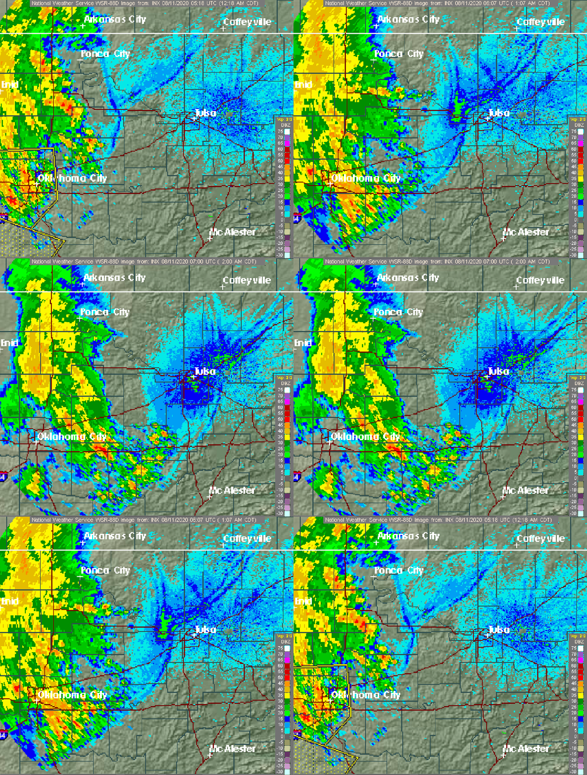
Radar is a detection system that uses radio waves to determine the distance (''ranging''), angle, and radial velocity of objects relative to the site. It can be used to detect aircraft, ships, spacecraft, guided missiles, motor vehicles, weather formations, and terrain. A radar system consists of a transmitter producing electromagnetic waves in the radio or microwaves domain, a transmitting antenna, a receiving antenna (often the same antenna is used for transmitting and receiving) and a receiver and processor to determine properties of the objects. Radio waves (pulsed or continuous) from the transmitter reflect off the objects and return to the receiver, giving information about the objects' locations and speeds. Radar was developed secretly for military use by several countries in the period before and during World War II. A key development was the cavity magnetron in the United Kingdom, which allowed the creation of relatively small systems with sub-meter resolution. Th ... [...More Info...] [...Related Items...] OR: [Wikipedia] [Google] [Baidu] |
Tropical Upper Tropospheric Trough
A tropical upper tropospheric trough (TUTT), also known as the mid-oceanic trough, is a trough situated in the upper-level (at about 200 hPa) tropics. Its formation is usually caused by the intrusion of energy and wind from the mid-latitudes into the tropics. It can also develop from the inverted trough adjacent to an upper level anticyclone. TUTTs are different from mid-latitude troughs in the sense that they are maintained by subsidence warming near the tropopause which balances radiational cooling. When strong, they can present a significant vertical wind shear to the tropics and subdue tropical cyclogenesis. When upper cold lows break off from their base, they tend to retrograde and force the development of, or enhance, surface troughs and tropical waves to their east. Under special circumstances, they can induce thunderstorm activity and lead to the formation of tropical cyclones. Location The TUTT is elongated from east-northeast to west-southwest across oceans of the North ... [...More Info...] [...Related Items...] OR: [Wikipedia] [Google] [Baidu] |
Dvorak Technique
The Dvorak technique (developed between 1969 and 1984 by Vernon Dvorak) is a widely used system to estimate tropical cyclone intensity (which includes tropical depression, tropical storm, and hurricane/typhoon/intense tropical cyclone intensities) based solely on visible and infrared satellite images. Within the Dvorak satellite strength estimate for tropical cyclones, there are several visual patterns that a cyclone may take on which define the upper and lower bounds on its intensity. The primary patterns used are curved band pattern (T1.0-T4.5), shear pattern (T1.5–T3.5), central dense overcast (CDO) pattern (T2.5–T5.0), central cold cover (CCC) pattern, banding eye pattern (T4.0–T4.5), and eye pattern (T4.5–T8.0). Both the central dense overcast and embedded eye pattern use the size of the CDO. The CDO pattern intensities start at T2.5, equivalent to minimal tropical storm intensity (40 mph, 65 km/h). The shape of the central dense overcast is also con ... [...More Info...] [...Related Items...] OR: [Wikipedia] [Google] [Baidu] |
Tropical Cyclone Forecast Model
A tropical cyclone forecast model is a computer program that uses meteorological data to forecast aspects of the future state of tropical cyclones. There are three types of models: statistical, dynamical, or combined statistical-dynamic. Dynamical models utilize powerful supercomputers with sophisticated mathematical modeling software and meteorological data to calculate future weather conditions. Statistical models forecast the evolution of a tropical cyclone in a simpler manner, by extrapolating from historical datasets, and thus can be run quickly on platforms such as personal computers. Statistical-dynamical models use aspects of both types of forecasting. Four primary types of forecasts exist for tropical cyclones: track, intensity, storm surge, and rainfall. Dynamical models were not developed until the 1970s and the 1980s, with earlier efforts focused on the storm surge problem. Track models did not show forecast skill when compared to statistical models until th ... [...More Info...] [...Related Items...] OR: [Wikipedia] [Google] [Baidu] |
Ridge (meteorology)
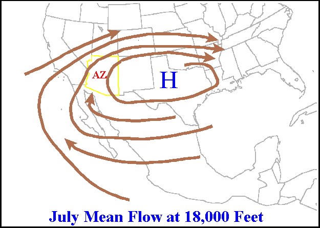
A ridge or barometric ridge is a term in meteorology describing an elongated area of relatively high atmospheric pressure compared to the surrounding environment, without being a closed circulation. It is associated with an area of maximum anticyclonic curvature of wind flow. The ridge originates in the center of an anticyclone and sandwiched between two low-pressure areas, and the locus of the maximum curvature is called the ''ridge line''. This phenomenon is the opposite of a trough. Description Ridges can be represented in two ways: * On surface weather maps, the pressure isobars form contours where the maximum pressure is found along the axis of the ridge. * In upper-air maps, geopotential height isohypses form similar contours where the maximum defines the ridge. Related weather Given the direction of the winds around an anticyclonic circulation and the fact that weather systems move from west to east: *ahead of an upper-ridge, the airflow that comes from the polar regi ... [...More Info...] [...Related Items...] OR: [Wikipedia] [Google] [Baidu] |
Subtropical Ridge
The horse latitudes are the latitudes about 30 degrees north and south of the Equator. They are characterized by sunny skies, calm winds, and very little precipitation. They are also known as Subtropics, subtropical ridges, or highs. It is a high-pressure area at the divergence of trade winds and the westerlies. Origin of the term A likely and documented explanation is that the term is derived from the "dead horse" ritual of seamen (see Flogging a dead horse#Earlier meaning, Beating a dead horse). In this practice, the seaman paraded a straw-stuffed effigy of a horse around the deck before throwing it overboard. Seamen were paid partly in advance before a long voyage, and they frequently spent their pay all at once, resulting in a period of time without income. If they got advances from the ship's paymaster, they would incur debt. This period was called the "dead horse" time, and it usually lasted a month or two. The seaman's ceremony was to celebrate having worked off the "d ... [...More Info...] [...Related Items...] OR: [Wikipedia] [Google] [Baidu] |
Outflow (meteorology)
Outflow, in meteorology, is air that flows outwards from a storm system. It is associated with ridging, or anticyclonic flow. In the low levels of the troposphere, outflow radiates from thunderstorms in the form of a wedge of rain-cooled air, which is visible as a thin rope-like cloud on weather satellite imagery or a fine line on weather radar imagery. For observers on the ground, a thunderstorm outflow boundary often approaches in otherwise clear skies as a low, thick cloud that brings with it a gust front. Low-level outflow boundaries can disrupt the center of small tropical cyclones. However, outflow aloft is essential for the strengthening of a tropical cyclone. If this outflow is restricted or undercut, the tropical cyclone weakens. If two tropical cyclones are in close proximity, the upper-level outflow from the upwind system can limit the development of the other system. Thunderstorms For thunderstorms, outflow tends to indicate the development of a system. Large quan ... [...More Info...] [...Related Items...] OR: [Wikipedia] [Google] [Baidu] |


