|
Culnady (townland)
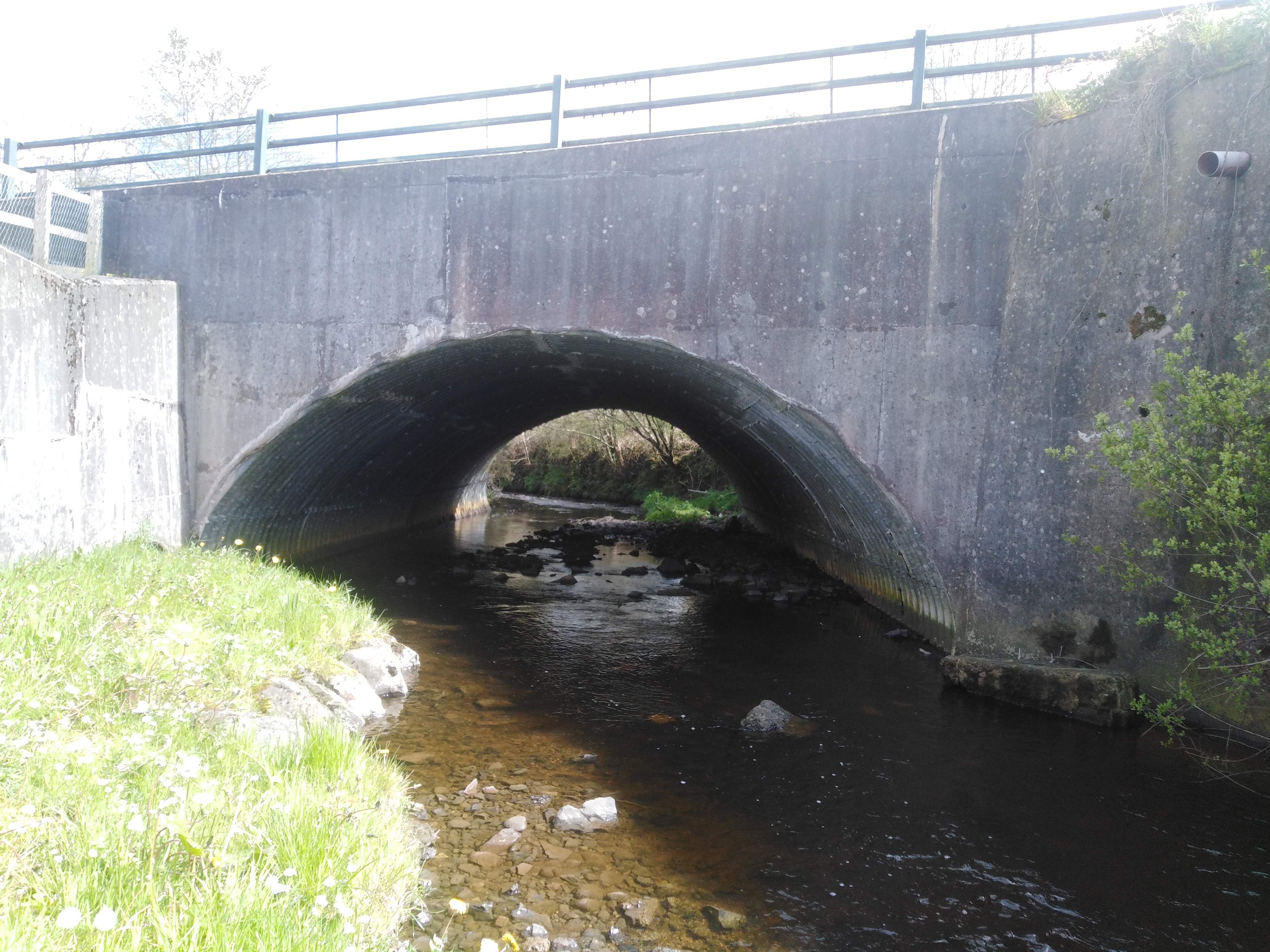
Culnady () is a townland lying within the civil parish of Maghera, County Londonderry, Northern Ireland. It lies in the north-east of the parish and is bounded in the north-east by the Grillagh river. It is also bounded by the townlands of Ballymacilcurr, Crew, Curragh, Drummuck, Tirgarvil, and Tirnageeragh. It was apportioned to the Vintners company and Crown freeholds. The townland in 1926 was part of Upperland district electoral division of Magherafelt Rural District. As part of Maghera civil parish, Culnady also lies within the historic barony of Loughinsholin. See also *Maghera Maghera (pronounced , ) is a small town at the foot of the Glenshane Pass in County Londonderry, Northern Ireland. Its population was 4,220 in the 2011 Census, increasing from 3,711 in the 2001 Census. It is situated within Mid-Ulster Distric ... References Townlands of County Londonderry Civil parish of Maghera {{Londonderry-geo-stub ... [...More Info...] [...Related Items...] OR: [Wikipedia] [Google] [Baidu] |
Townland
A townland ( ga, baile fearainn; Ulster-Scots: ''toonlann'') is a small geographical division of land, historically and currently used in Ireland and in the Western Isles in Scotland, typically covering . The townland system is of Gaelic origin, pre-dating the Norman invasion, and most have names of Irish origin. However, some townland names and boundaries come from Norman manors, plantation divisions, or later creations of the Ordnance Survey.Connolly, S. J., ''The Oxford Companion to Irish History, page 577. Oxford University Press, 2002. ''Maxwell, Ian, ''How to Trace Your Irish Ancestors'', page 16. howtobooks, 2009. The total number of inhabited townlands in Ireland was 60,679 in 1911. The total number recognised by the Irish Place Names database as of 2014 was 61,098, including uninhabited townlands, mainly small islands. Background In Ireland a townland is generally the smallest administrative division of land, though a few large townlands are further divided into h ... [...More Info...] [...Related Items...] OR: [Wikipedia] [Google] [Baidu] |
Barony (geographic)
A barony is an administrative division of a county in Scotland, Ireland, outlying parts of England and historically France. It has a lower rank and importance than a county. Origin A geographic barony is a remnant from mediaeval times of the area of land held under the form of feudal land tenure termed feudal barony, or barony by tenure, either an English feudal barony, a Scottish feudal barony or an Irish feudal barony, which all operated under different legal and social systems. Just as modern counties are no longer under the administrative control of a noble count or earl, geographic baronies are generally no longer connected with feudal barons, certainly not in England where such tenure was abolished with the whole feudal system by the Tenures Abolition Act 1660. The position in Scotland is more complex, although the legal force of the Scottish feudal baron was abolished early in the 21st century.P. G. B. McNeill and H. L. MacQueen, eds, ''Atlas of Scottish History to 1707 ... [...More Info...] [...Related Items...] OR: [Wikipedia] [Google] [Baidu] |
Maghera
Maghera (pronounced , ) is a small town at the foot of the Glenshane Pass in County Londonderry, Northern Ireland. Its population was 4,220 in the 2011 Census, increasing from 3,711 in the 2001 Census. It is situated within Mid-Ulster District, as well as the civil parish of Maghera, which it was named after, and the former barony of Loughinsholin. History The town dates back at least to the 6th century to the monastery founded by Saint Lurach whose family were possibly evangelised by Saint Patrick. The ''Annals of Ulster'' say that the seat of the Cenél nEoghain was at Ráth Luraig in Maghera. Standing upon the site of the monastery, the present day ruins of St. Lurach's Church date back to the 10th century. They include, over a doorway, a relief of the crucifixion, possibly the oldest in Ireland. The crucification lintel is reproduced in the contemporary Catholic church, St Mary's. The old church and town were burned in the 12th century. Afterwards, Maghera became the seat ... [...More Info...] [...Related Items...] OR: [Wikipedia] [Google] [Baidu] |
Rural District
Rural districts were a type of local government area – now superseded – established at the end of the 19th century in England, Wales, and Ireland for the administration of predominantly rural areas at a level lower than that of the Administrative county, administrative counties.__TOC__ England and Wales In England and Wales they were created in 1894 (by the Local Government Act 1894) along with Urban district (Great Britain and Ireland), urban districts. They replaced the earlier system of sanitary districts (themselves based on poor law unions, but not replacing them). Rural districts had elected rural district councils (RDCs), which inherited the functions of the earlier sanitary districts, but also had wider authority over matters such as local planning, council house, council housing, and playgrounds and cemeteries. Matters such as education and major roads were the responsibility of county councils. Until 1930 the rural district councillors were also poor law gu ... [...More Info...] [...Related Items...] OR: [Wikipedia] [Google] [Baidu] |

