|
Cricklewood
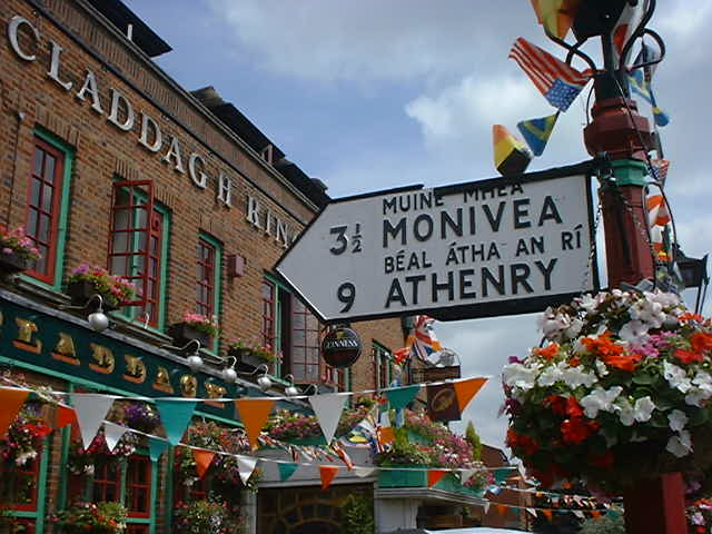
Cricklewood is an area of London, England, which spans the boundaries of three London boroughs: Barnet to the east, Brent to the west and Camden to the south-east. The Crown pub, now the Clayton Crown Hotel, is a local landmark and lies north-west of Charing Cross. Cricklewood was a small rural hamlet around Edgware Road, the Roman road which was later called Watling Street and which forms the boundary between the three boroughs that share Cricklewood. The area urbanised after the arrival of the surface and underground railways in nearby Willesden Green in the 1870s. The shops on Cricklewood Broadway, as Edgware Road is known here, contrast with quieter surrounding streets of largely late-Victorian, Edwardian, and 1930s housing. The area has strong links with Ireland due to a sizeable Irish population. The Gladstone Park lies on the area's northern periphery. Cricklewood has two conservation areas, the Mapesbury Estate and the Cricklewood Railway Terraces, and in 2012 wa ... [...More Info...] [...Related Items...] OR: [Wikipedia] [Google] [Baidu] |
Cricklewood Railway Station
Cricklewood railway station is on the Midland Main Line in England, serving the town of Cricklewood in the London Borough of Barnet, north London. It is down the line from and is situated between to the south and to the north. Its three-letter station code is CRI. It is served by Thameslink services on the cross-London Thameslink route. It is in Travelcard Zone 3. History It was opened on 2 May 1870 as Childs Hill and Cricklewood nearly 2 years after the Midland Railway had built its extension (now called the Midland Main Line) to St. Pancras. The station acquired its present name in 1903. To the north of the station, a motive power depot was built with a large roundhouse in 1882, with a second in 1893. With this was built a large marshalling yard and, in later years, LMS Garratts would be seen with their massive trains of coal from Toton in the Nottinghamshire and Derbyshire coalfields. A loop line, no longer in existence, was built heading north on the western side ... [...More Info...] [...Related Items...] OR: [Wikipedia] [Google] [Baidu] |
Edgware Road
Edgware Road is a major road in London, England. The route originated as part of Roman roads in Britain, Roman Watling Street and, unusually in London, it runs for 10 miles in an almost perfectly straight line. Forming part of the modern A5 road (Great Britain), A5 road, Edgware Road undergoes several name changes along its length, including Maida Vale, Kilburn High Road, Shoot Up Hill and Cricklewood Broadway; but the road is, as a whole, known as the Edgware Road, as it is the road to Edgware. The road runs from central to suburban London, beginning at Marble Arch in the City of Westminster and heading north to Edgware in the London Borough of Barnet. It is used as the boundary for four London boroughs: London Borough of Harrow, Harrow and London Borough of Brent, Brent to the west, and London Borough of Barnet, Barnet and London Borough of Camden, Camden to the east. Route The road runs north-west from Marble Arch to Edgware on the outskirts of London. It crosses the Harrow ... [...More Info...] [...Related Items...] OR: [Wikipedia] [Google] [Baidu] |
Gladstone Park, London
Gladstone Park is situated in the Dollis Hill area of north-west London. It is about 35 hectares (86 acres) in area. Dollis Hill House was an early 19th-century farmhouse, located within the northern boundary of the park. Transport Dollis Hill tube station on the London Underground Jubilee line is about a 10-minute walk away from the park, to the south-west. Cricklewood Thameslink station is to the east. Bus services 226 and 232 also run through the area. The park is situated on both sides of the Dudding Hill Line. This railway is currently only used by freight trains, but it has been subject to various railway schemes over the years, including a recent proposal for a radial North and West London Light railway (NWLLR), which might result in a light-rail stop being built at one or both ends of the park. There is a footbridge over the railway at the western end of the park, and a private road bridge (only used by Brent Parks Service) at the eastern end. History It was c ... [...More Info...] [...Related Items...] OR: [Wikipedia] [Google] [Baidu] |
Willesden
Willesden () is an area of northwest London, situated 5 miles (8 km) northwest of Charing Cross. It is historically a parish in the county of Middlesex that was incorporated as the Municipal Borough of Willesden in 1933, and has formed part of the London Borough of Brent in Greater London since 1965. Dollis Hill is also sometimes referred to as being part of Willesden. With its close proximity to affluent neighbourhoods Brondesbury Park, Queen's Park and Kensal Rise, the area surrounding Willesden Green station has seen increased gentrification in the past several years, with rapidly rising property prices. ''The Daily Telegraph'' called Willesden Green one of London's "new middle class" areas. The area has a population of 44,295 as of 2011 including the Willesden Green, Dollis Hill and Dudden Hill wards. Willesden Green has one of the city's highest Irish populations, and is also strongly associated with Afro-Caribbeans and Latin Americans. Willesden is mostly ... [...More Info...] [...Related Items...] OR: [Wikipedia] [Google] [Baidu] |
London Borough Of Barnet
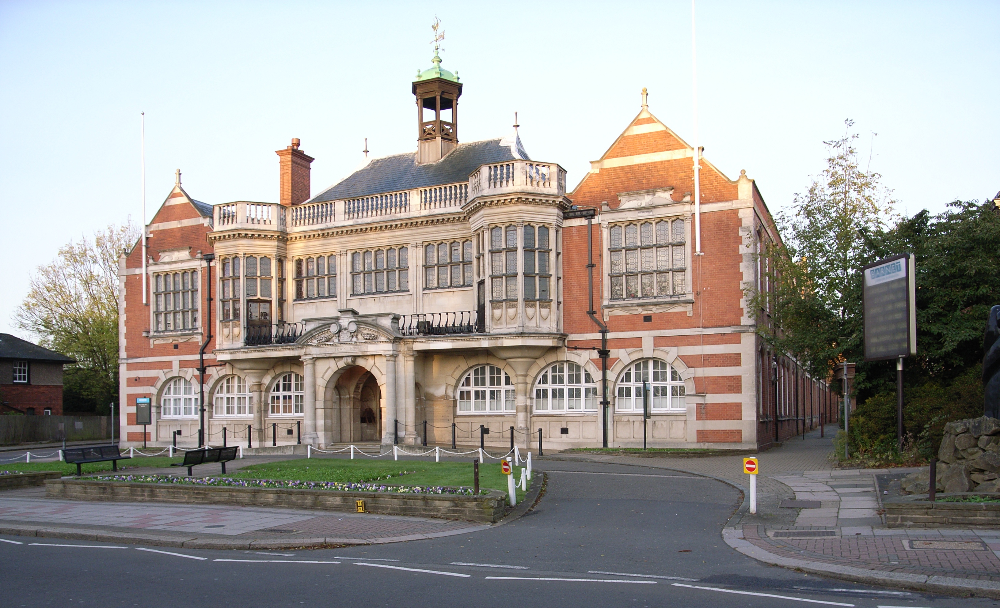
The London Borough of Barnet () is a suburban London borough in North London. The borough was formed in 1965 from parts of the ceremonial counties of Middlesex and Hertfordshire. It forms part of Outer London and is the largest London borough by population with 384,774 inhabitants, also making it the 13th largest district in England. The borough covers an area of , the fourth highest of the 32 London boroughs, and has a population density of 45.8 people per hectare, which ranks it 25th. Barnet borders the Hertfordshire district of Hertsmere to the north and five other London boroughs: Camden and Haringey to the southeast, Enfield to the east, as well as Harrow and Brent to the west of the ancient Watling Street (now the A5 road). The borough's major urban settlements are Hendon, Finchley, Golders Green, Friern Barnet, Chipping Barnet, Whetstone, and Edgware; there are also village settlements notably Totteridge and Arkley along with rural areas and countryside pa ... [...More Info...] [...Related Items...] OR: [Wikipedia] [Google] [Baidu] |
Hendon
Hendon is an urban area in the Borough of Barnet, North-West London northwest of Charing Cross. Hendon was an ancient manor and parish in the county of Middlesex and a former borough, the Municipal Borough of Hendon; it has been part of Greater London since 1965. Hendon falls almost entirely within the NW4 postcode, while the West Hendon part falls in NW9. Colindale to the north-west was once considered part of Hendon but is today separated by the M1 motorway. The district is most famous for the London Aerodrome which later became the RAF Hendon; from 1972 the site of the RAF station was gradually handed over to the RAF Museum. The railways reached Hendon in 1868 with Hendon station on the Midland Main Line, followed by the London Underground further east under the name Hendon Central in 1923. Brent Street emerged as its commercial centre by the 1890s. A social polarity was developed between the uphill areas of Hendon and the lowlands around the railway station. Hendon ... [...More Info...] [...Related Items...] OR: [Wikipedia] [Google] [Baidu] |
Willesden Green Tube Station
Willesden Green is a London Underground station on Walm Lane in Willesden. It is served by the Jubilee line and is between Dollis Hill and Kilburn stations. Metropolitan line trains also pass through the station, but do not usually stop. The station is in both Travelcard Zone 2 and Zone 3. History The station opened on 24 November 1879 on the Metropolitan Railway (later the Metropolitan line). From 1894 to 1938 it was known as Willesden Green and Cricklewood. From 20 November 1939 it also served the Stanmore branch of the Bakerloo line, with Met services being withdrawn the following year. It transferred to the Jubilee line in 1979. A connecting tunnel at Embankment tube station mistakenly shows Willesden Green as part of the Bakerloo line as a result of a typo which instead should say Willesden Junction. This can be found on a printed map on the wall of Embankment station. The main station buildings, which date from the reconstruction of 1925, are fine examples of the work ... [...More Info...] [...Related Items...] OR: [Wikipedia] [Google] [Baidu] |
Finchley And Golders Green
Finchley and Golders Green is a constituency created in 1997 represented in the House of Commons of the UK Parliament. The current MP is Mike Freer of the Conservative Party, who has held the seat since 2010. Boundaries 1997–2010: The London Borough of Barnet wards of Childs Hill, East Finchley, Finchley, Garden Suburb, Golders Green, St Paul's, and Woodhouse. 2010–present: As above; less St Paul's, plus West Finchley and replacing Finchley with Finchley Church End. The constituency covers Finchley, Golders Green, Childs Hill, Temple Fortune and Hampstead Garden Suburb in the London Borough of Barnet. It was created in 1997 largely replacing the abolished constituency of Finchley—plus major parts of abolished Hendon South, less some of its wards transferred to the Chipping Barnet seat which covers Barnet. Specifically the creation saw the removal of Friern Barnet and the addition of Golders Green, Childs Hill and Hampstead Garden Suburb. 2007 boundary review Un ... [...More Info...] [...Related Items...] OR: [Wikipedia] [Google] [Baidu] |
London Borough Of Brent
The London Borough of Brent () is a London borough in north-west London. It borders the boroughs of Harrow to the north-west, Barnet to the north-east, Camden to the east, the City of Westminster to the south-east, as well as the Royal Borough of Kensington and Chelsea, Hammersmith and Fulham and Ealing to the south. Most of the eastern border is formed by the Roman road Watling Street, which is now the modern A5. Brent's population is estimated to be 329,771. Major districts are Kilburn, Willesden, Wembley and Harlesden, with sub-districts Stonebridge, Kingsbury, Kensal Green and Queen's Park. Brent has a mixture of residential, industrial and commercial land. It includes many districts of inner-city character in the east and a more distinct suburban character in the west, part of which formed part of the early 20th century Metroland developments. Today Brent is known for being home to Wembley Stadium, the country's largest stadium by capacity, as well as other landmarks ... [...More Info...] [...Related Items...] OR: [Wikipedia] [Google] [Baidu] |
Irish Migration To Great Britain
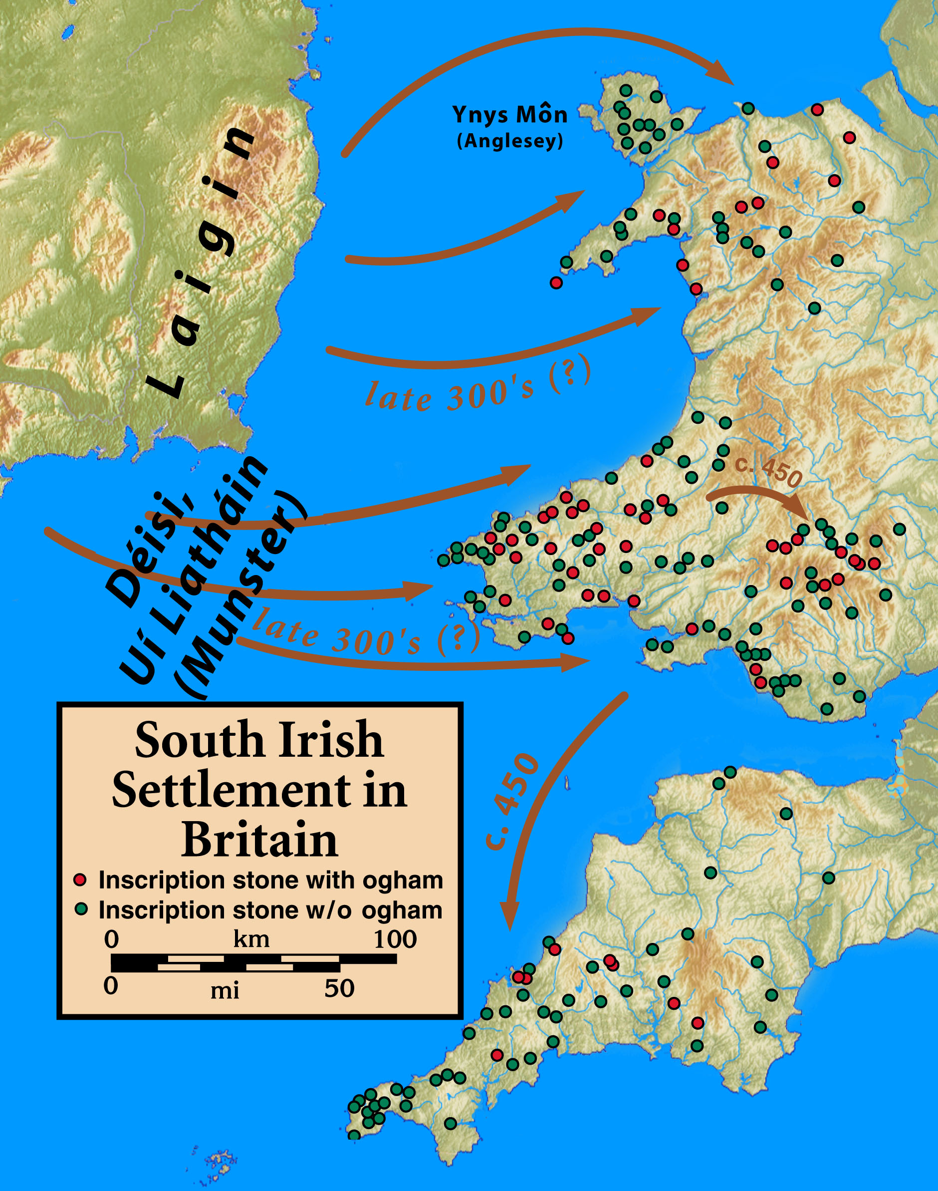
Irish migration to Great Britain has occurred from the earliest recorded history to the present. There has been a continuous movement of people between the islands of Ireland and Great Britain due to their proximity. This tide has ebbed and flowed in response to politics, economics and social conditions of both places. Today, millions of residents of Great Britain are either from Ireland or are entitled to an Irish passport due to having a parent or grandparent who was born in Ireland. The modern era of Irish migration has also seen non-indigenous Asian Irish and black Irish people move to Britain. It is estimated that as many as six million people living in the UK have at least one Irish grandparent (around 10% of the UK population). The Irish diaspora ( ga, Diaspóra na nGael) refers to Irish people and their descendants who live outside Ireland. This article refers to those who reside in Great Britain, the largest island and principal territory of the United Kingdom. Migr ... [...More Info...] [...Related Items...] OR: [Wikipedia] [Google] [Baidu] |
Midland Railway
The Midland Railway (MR) was a railway company in the United Kingdom from 1844. The Midland was one of the largest railway companies in Britain in the early 20th century, and the largest employer in Derby, where it had its headquarters. It amalgamated with several other railways to create the London, Midland and Scottish Railway at grouping in 1922. The Midland had a large network of lines emanating from Derby, stretching to London St Pancras, Manchester, Carlisle, Birmingham, and the South West. It expanded as much through acquisitions as by building its own lines. It also operated ships from Heysham in Lancashire to Douglas and Belfast. A large amount of the Midland's infrastructure remains in use and visible, such as the Midland main line and the Settle–Carlisle line, and some of its railway hotels still bear the name '' Midland Hotel''. History Origins The Midland Railway originated from 1832 in Leicestershire / Nottinghamshire, with the purpose of serving the nee ... [...More Info...] [...Related Items...] OR: [Wikipedia] [Google] [Baidu] |
Kentish Town
Kentish Town is an area of northwest London, England in the London Borough of Camden, immediately north of Camden Town. Less than four miles north of central London, Kentish Town has good transport connections and is situated close to the open spaces of Hampstead Heath. Toponymy The name of Kentish Town is probably derived from ''Ken-ditch'' or ''Caen-ditch'', meaning the "bed of a waterway" and is otherwise unrelated to the English county of Kent. In researching the meaning of ''Ken-ditch'', it has also been noted that ''ken'' is the Celtic word for both "green" and "river", while ''ditch'' refers to the River Fleet, now a Subterranean rivers of London, subterranean river. However, another theory is the name comes from its position near the Fleet; it has been suggested that Kentish Town, which lies in between two forks of the Fleet, takes its name from ''cant'' or ''cantle'' (from the Middle English meaning "corner"). History Kentish Town was originally a small settlement on ... [...More Info...] [...Related Items...] OR: [Wikipedia] [Google] [Baidu] |
.jpg)


.jpg)


