|
County Route 149 (Sullivan County, New York)
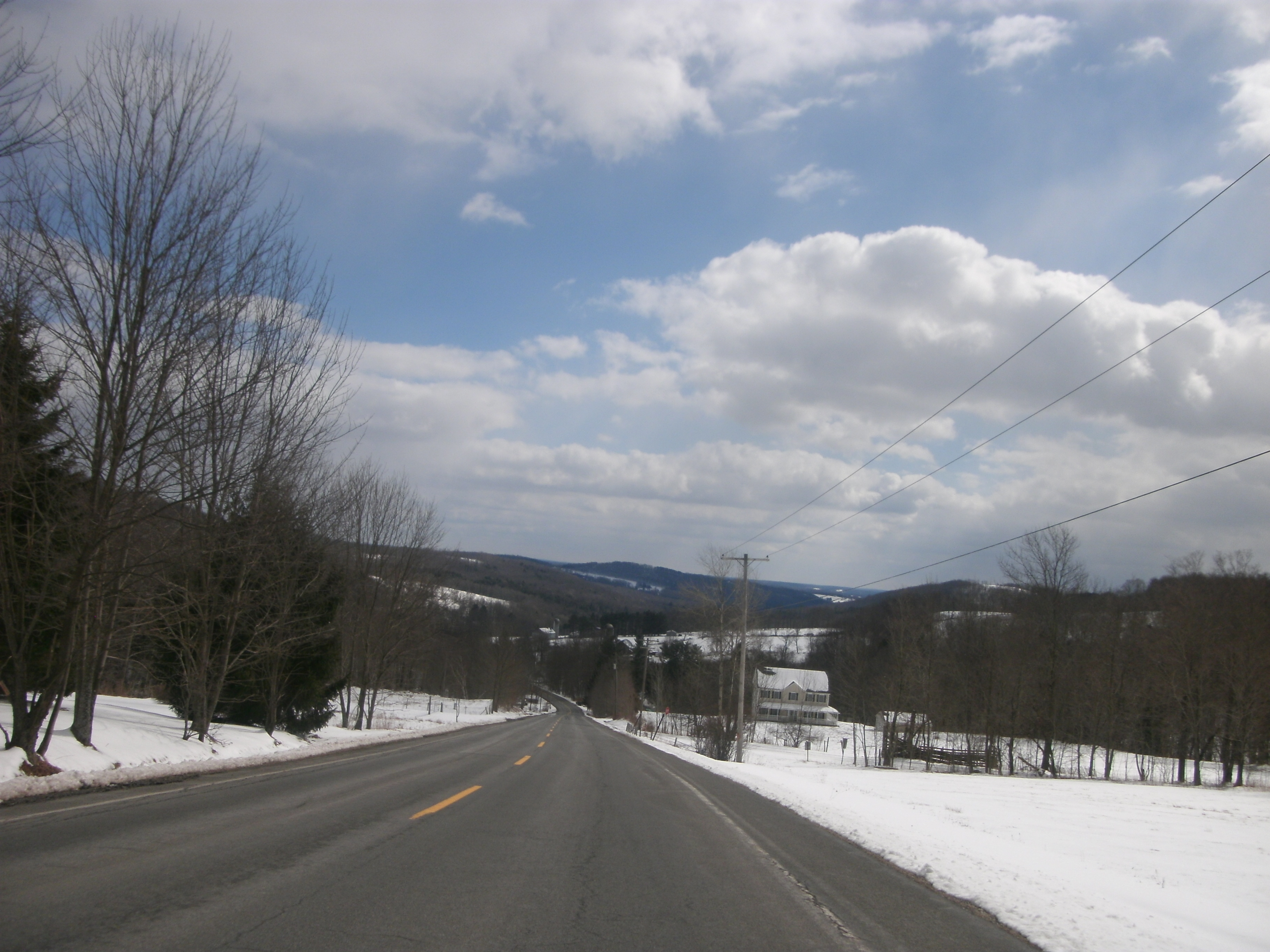
County Route 149 (CR 149) is a county route in northern Sullivan County, New York, in the United States. The route runs from an intersection with New York State Route 52 (NY 52) in the Callicoon community of Youngsville to an intersection with CR 178 in the Rockland community of Livingston Manor. CR 149 was originally designated as New York State Route 284 in 1930. Route description CR 149 begins at an intersection with NY 52 in the community of Youngsville. The route progresses northward, passing and paralleling Tremper Road, a dead-end road. CR 149 passes by several residential homes in Youngsville, along with one local commercial building. After leaving the community, CR 149 continues to the north as Shandelee Road, passing through the residential surroundings. After passing by a few more residences, Shandelee Road makes a bend to the northwest, and into more dense woodlands in the area. About a mile north of Youngsvil ... [...More Info...] [...Related Items...] OR: [Wikipedia] [Google] [Baidu] |
Callicoon (town), New York
Callicoon is a town in Sullivan County, New York, United States. The population was 3,057 at the 2010 census. The town is in the northwestern part of the county. History The town was formed in 1842 from the Town of Liberty. The original spelling of the name was "Collikoon." This name is said to signify "turkey" in both Dutch and Choctaw. The Dutch word for turkey is ''kalkoen.'' Although the Choctaw have a word for turkey, ''cholokloha'', the people did not occupy territory anywhere near here, but traditionally lived in the Deep South. They were known as one of the Five Civilized Tribes there before their removal to Indian Territory in the 1830s. Geography According to the United States Census Bureau, the town has a total area of 49.0 square miles (126.9 km2), of which 48.7 square miles (126.0 km2) is land and 0.3 square mile (0.9 km2) (0.69%) is water. Demographics As of the census of 2010, there were 3,057 people, 1,288 households, and 8 ... [...More Info...] [...Related Items...] OR: [Wikipedia] [Google] [Baidu] |
County Route 81 (Sullivan County, New York)
County routes in Sullivan County, New York, are maintained by the Sullivan County Division of Public Works and signed with the Manual on Uniform Traffic Control Devices-standard yellow-on-blue pentagon route marker. The county highway system comprises roughly 140 routes arranged across the county in groups of nine. For the most part, state routes in Sullivan County are county-maintained and co-signed with county routes. However, the converse is not true; that is, not all county routes overlap state routes for their entire length. Typically, each series consists of county routes along a single roadway, often overlapping with state highways in the process. The lowest numbered route in the system is County Route 11 (CR 11); the highest is CR 183C. Note that routes 160 through 169 do not conform to any style, and coincidentally the 170 through 179 series (with the exception of the spur designated 174A) follows the pre-expressway routing of New York State Route 17 ... [...More Info...] [...Related Items...] OR: [Wikipedia] [Google] [Baidu] |
New York State Route 284
New York State Route 284 (NY 284) is a north–south state highway located entirely within Orange County, New York, in the United States. It begins just south of the village of Unionville at the New Jersey state line in the town of Minisink, where it connects to that state's Route 284. From Unionville, the route heads through rural parts of Orange County for just over to an intersection with U.S. Route 6 (US 6) in the hamlet of Slate Hill, located southwest of the city of Middletown in the town of Wawayanda. The highway has been part of a state route since 1924 when it became part of New York State Route 8, a road continuing northeast through Middletown and Montgomery to Newburgh. NY 8 was split into two routes as part of the 1930 renumbering of state highways in New York, with the portion of the highway south of Montgomery becoming New York State Route 84. When Interstate 84 (I-84) was built along a similar alignment to N ... [...More Info...] [...Related Items...] OR: [Wikipedia] [Google] [Baidu] |
New York State Department Of Transportation
The New York State Department of Transportation (NYSDOT) is the department of the New York state government responsible for the development and operation of highways, railroads, mass transit systems, ports, waterways and aviation facilities in the U.S. state of New York. This transportation network includes: * A state and local highway system, encompassing over 110,000 miles (177,000 km) of highway and 17,000 bridges. * A 5,000 mile (8,000 km) rail network, carrying over 42 million short tons (38 million metric tons) of equipment, raw materials, manufactured goods and produce each year. * Over 130 public transit operators, serving over 5.2 million passengers each day. * Twelve major public and private ports, handling more than 110 million short tons (100 million metric tons) of freight annually. * 456 public and private aviation facilities, through which more than 31 million people travel each year. It owns two airports, Stewart International Airport near Newburgh, ... [...More Info...] [...Related Items...] OR: [Wikipedia] [Google] [Baidu] |
General Drafting
General Drafting Corporation of Convent Station, New Jersey, founded by Otto G. Lindberg in 1909, was one of the "Big Three" road map publishers in the United States from 1930 to 1970, along with H.M. Gousha and Rand McNally.General Drafting Co., Inc. company brochure, 1982. Unlike the other two, General Drafting did not sell its maps to a variety of smaller customers, but was the exclusive publisher of maps for Standard Oil of New Jersey, later Esso and Exxon. They also published maps for Standard Oil Company of Kentucky a.k.a. KYSO. KYSO later merged with Standard Oil Company of California better known as Chevron and SOCAL primarily used The H.M. Gousha company for their roadmaps. Lindberg was a young immigrant from Finland and, with a borrowed drafting board and a $500.00 loan from his father, the then 23-yr. old started the business of "any and all general draughting" at 170 Broadway in NYC in 1909. As the firm started to prosper, the company secured its first contract from ... [...More Info...] [...Related Items...] OR: [Wikipedia] [Google] [Baidu] |
Standard Oil Company
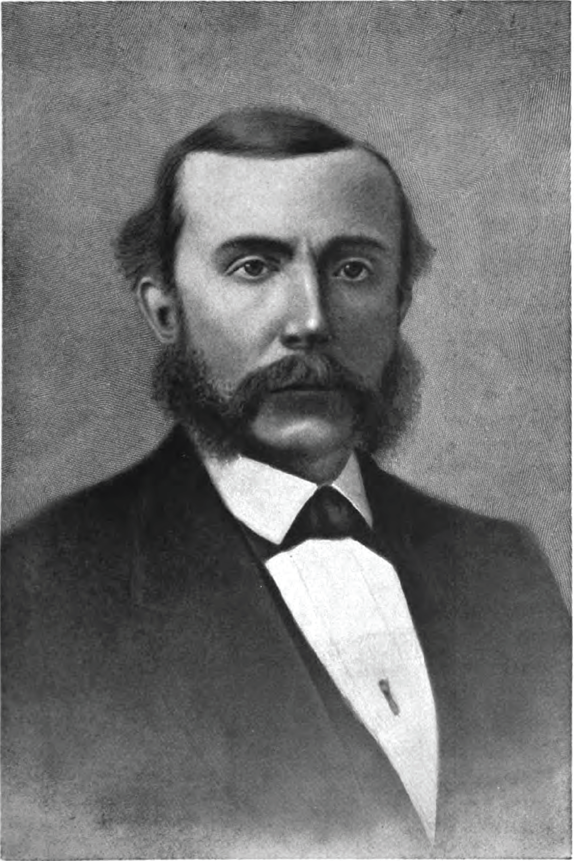
Standard Oil Company, Inc., was an American oil production, transportation, refining, and marketing company that operated from 1870 to 1911. At its height, Standard Oil was the largest petroleum company in the world, and its success made its co-founder and chairman, John D. Rockefeller, who is among the wealthiest Americans of all time and among the richest people in modern history. Its history as one of the world's first and largest multinational corporations ended in 1911, when the U.S. Supreme Court ruled that it was an illegal monopoly. The company was founded in 1863 by Rockefeller and Henry Flagler, and was incorporated in 1870. Standard Oil dominated the oil products market initially through horizontal integration in the refining sector, then, in later years vertical integration; the company was an innovator in the development of the business trust. The Standard Oil trust streamlined production and logistics, lowered costs, and undercut competitors. "Trust-busting" cri ... [...More Info...] [...Related Items...] OR: [Wikipedia] [Google] [Baidu] |


