|
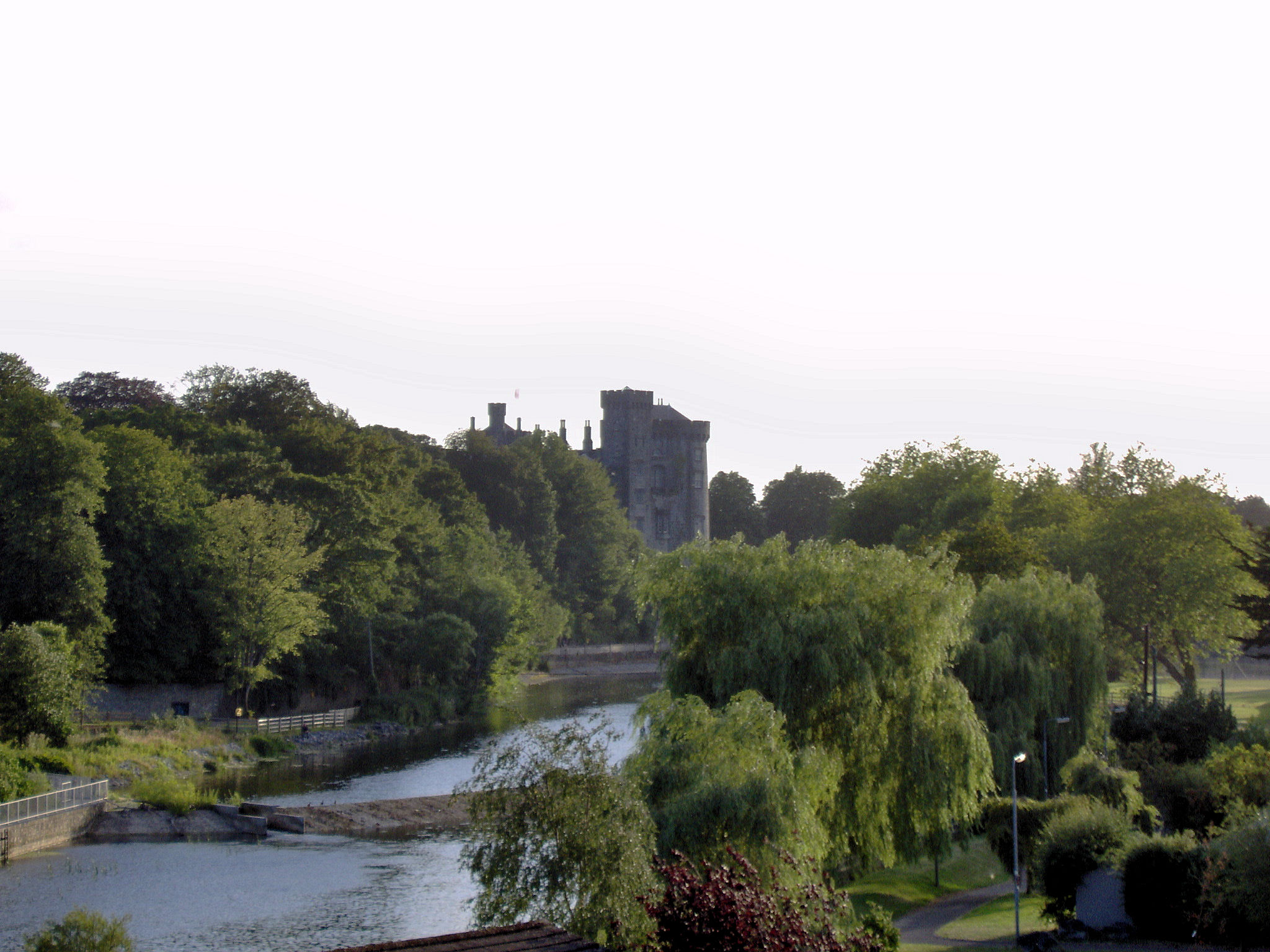
Corluddy Castle
Corluddy Castle is located in County Kilkenny close to the village of Carrigeen. According to O'Kelly it is "5-storey high is roofless but in a good state of preservation, the bottom arch showing traces of osier-rod work. It is on an open hillside east of the village and belonged to the Grants until confiscated during the Cromwellian conquest of Ireland. Peter Grant chief of the family died 1510 and is buried in St. Canice's Cathedral St Canice's Cathedral ( ga, Ardeaglais Naomh Cainneach, ), also known as Kilkenny Cathedral, is a cathedral of the Church of Ireland in Kilkenny city, Ireland. It is in the ecclesiastical province of Dublin. Previously the cathedral of the Dio ...." References Castles in County Kilkenny Ruins in the Republic of Ireland {{Kilkenny-geo-stub ... [...More Info...] [...Related Items...] OR: [Wikipedia] [Google] [Baidu] |
County Kilkenny
County Kilkenny ( gle, Contae Chill Chainnigh) is a county in Ireland. It is in the province of Leinster and is part of the South-East Region. It is named after the city of Kilkenny. Kilkenny County Council is the local authority for the county. As of the 2022 census the population of the county was just over 100,000. The county was based on the historic Gaelic kingdom of Ossory (''Osraighe''), which was coterminous with the Diocese of Ossory. Geography and subdivisions Kilkenny is the 16th-largest of Ireland's 32 counties by area, and the 21st largest in terms of population. It is the third-largest of Leinster's 12 counties in size, the seventh-largest in terms of population, and has a population density of 48 people per km2. Kilkenny borders five counties - Tipperary to the west, Waterford to the south, Carlow and Wexford to the east, and Laois to the north. Kilkenny city is the county's seat of local government and largest settlement, and is situated on the River Nore i ... [...More Info...] [...Related Items...] OR: [Wikipedia] [Google] [Baidu] |
Carrigeen
Carrigeen () is a village to the south-east of Mooncoin in County Kilkenny, Ireland. Carrigeen is situated on a hillock within the Suir Valley, contains St. Kevin's Church and belongs to the parish of Mooncoin. There is a primary school and a GAA club in Carrigeen. St. Kevin's Church is one of the three churches of the parish of Mooncoin, together with a church in Killinaspick and Mooncoin. History Carrigeen is located close to two of Ireland's most ancient villages, Licketstown and Glengrant, which date to Norman times. Oliver Cromwell recognised the value of the land as he passed under the shadow of the Walsh Hills on his approach to Carrick-on-Suir from New Ross. He is reported to have said, "It is a land worth fighting for". Geography Carrigeen is situated on a hillock within the Suir Valley, it has a panoramic view of the south of County Kilkenny including '' Slieve na mBan'', Tory Hill and the Comeragh Mountains. Education Carrigeen National School celebrate ... [...More Info...] [...Related Items...] OR: [Wikipedia] [Google] [Baidu] |
Cromwellian Conquest Of Ireland
The Cromwellian conquest of Ireland or Cromwellian war in Ireland (1649–1653) was the re-conquest of Ireland by the forces of the English Parliament, led by Oliver Cromwell, during the Wars of the Three Kingdoms. Cromwell invaded Ireland with the New Model Army on behalf of England's Rump Parliament in August 1649. Following the Irish Rebellion of 1641, most of Ireland came under the control of the Irish Catholic Confederation. In early 1649, the Confederates allied with the English Royalists, who had been defeated by the Parliamentarians in the English Civil War. By May 1652, Cromwell's Parliamentarian army had defeated the Confederate and Royalist coalition in Ireland and occupied the country, ending the Irish Confederate Wars (or Eleven Years' War). However, guerrilla warfare continued for a further year. Cromwell passed a series of Penal Laws against Roman Catholics (the vast majority of the population) and confiscated large amounts of their land. As punishment for ... [...More Info...] [...Related Items...] OR: [Wikipedia] [Google] [Baidu] |
Castles In County Kilkenny
County Kilkenny ( gle, Contae Chill Chainnigh) is a county in Ireland. It is in the province of Leinster and is part of the South-East Region. It is named after the city of Kilkenny. Kilkenny County Council is the local authority for the county. As of the 2022 census the population of the county was just over 100,000. The county was based on the historic Gaelic kingdom of Ossory (''Osraighe''), which was coterminous with the Diocese of Ossory. Geography and subdivisions Kilkenny is the 16th-largest of Ireland's 32 counties by area, and the 21st largest in terms of population. It is the third-largest of Leinster's 12 counties in size, the seventh-largest in terms of population, and has a population density of 48 people per km2. Kilkenny borders five counties - Tipperary to the west, Waterford to the south, Carlow and Wexford to the east, and Laois to the north. Kilkenny city is the county's seat of local government and largest settlement, and is situated on the River Nor ... [...More Info...] [...Related Items...] OR: [Wikipedia] [Google] [Baidu] |


