|
Coolbellup, Western Australia
Coolbellup is a suburb in Perth, Western Australia, located south of the central business district within the local government area of the City of Cockburn. Coolbellup takes its name from the Aboriginal name for the nearby North Lake, which the area was known as until 1957. History The original inhabitants were the Noongar people from the Swan River, who made their campsites along Perth's central lakes to avoid the salty lakes closer to the coast. Sixteen Aboriginal campsites have been found in the City of Cockburn. Coolbellup was originally the eastern portion of George Robb's Cockburn Sound Location 10. The name ''Coolbellup'' was recorded as the Aboriginal name of a lake near the eastern boundary of the grant in 1842 by Augustus Gregory. Surveys by RM King in 1877 showed the local name to be ''North Lake'' and both names were shown on plans. The lake is the northernmost of the chain of lakes lying between Mandurah and the Swan River. Early landholders in the area were G ... [...More Info...] [...Related Items...] OR: [Wikipedia] [Google] [Baidu] |
City Of Cockburn
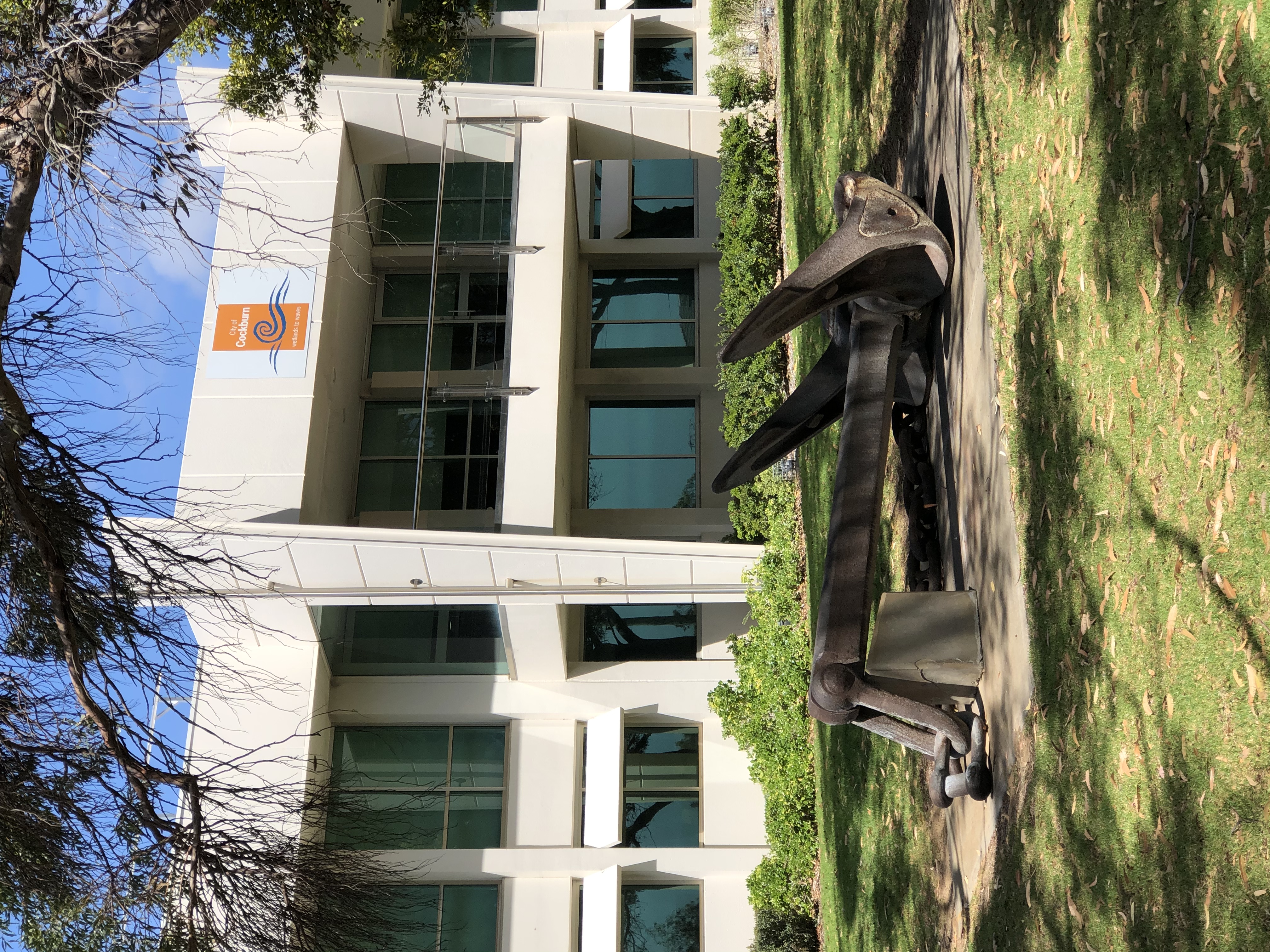
The City of Cockburn ( ) is a local government area in the southern suburbs of the Western Australian capital city of Perth about south of Fremantle and about south of Perth's central business district. The City covers an area of and had a population of over 104,000 as at the 2016 Census. History Cockburn is named after Cockburn Sound, which was named in 1827 by Captain James Stirling after Admiral Sir George Cockburn. Sir George was born in London in 1772 and was a renowned British naval officer, eventually becoming Admiral of the Fleet and First Sea Lord. He served under Horatio Nelson during the war with France, but came to public attention and was granted his knighthood for his service in the War of 1812, in particular for the burning of Washington in 1814. It was he who took Napoleon to exile on the island of Saint Helena after the Battle of Waterloo in 1815. In 1871, the Fremantle Road District was created under the ''District Roads Act 1871'' to cover the area to ... [...More Info...] [...Related Items...] OR: [Wikipedia] [Google] [Baidu] |
Augustus Gregory
Sir Augustus Charles Gregory (1 August 1819 – 25 June 1905) was an English-born Australian explorer and surveyor. Between 1846 and 1858 he undertook four major expeditions. He was the first Surveyor-General of Queensland. He was appointed a lifetime Member of the Queensland Legislative Council. Early years Augustus Charles Gregory was born at Farnsfield, Nottingham, England. He was the second of five brothers born to Joshua Gregory and Frances Churchman. Among his brothers were Francis Thomas Gregory, who also became a noted explorer. #Joshua William Gregory, born 1815, died 20 September 1850 aged 35. #Augustus Charles Gregory, born 1 August 1819, died 1905 aged 86 #Francis (Frank) Thomas Gregory, born 1821. #Henry Churcham Gregory, born 1823, died London 29 July 1903 aged 79 years #Charles Frederick Gregory, born 1825. A. C. Gregory was educated privately by tutors and later by his mother. In 1829, the family emigrated to Western Australia on board the '' Lotus'', arri ... [...More Info...] [...Related Items...] OR: [Wikipedia] [Google] [Baidu] |
Plantation
A plantation is an agricultural estate, generally centered on a plantation house, meant for farming that specializes in cash crops, usually mainly planted with a single crop, with perhaps ancillary areas for vegetables for eating and so on. The crops that are grown include cotton, coffee, tea, cocoa, sugar cane, opium, sisal, oil seeds, oil palms, fruits, rubber trees and forest trees. Protectionist policies and natural comparative advantage have sometimes contributed to determining where plantations are located. In modern use the term is usually taken to refer only to large-scale estates, but in earlier periods, before about 1800, it was the usual term for a farm of any size in the southern parts of British North America, with, as Noah Webster noted, "farm" becoming the usual term from about Maryland northwards. It was used in most British colonies, but very rarely in the United Kingdom itself in this sense. There, as also in America, it was used mainly for tree plantations, a ... [...More Info...] [...Related Items...] OR: [Wikipedia] [Google] [Baidu] |
Landcorp
Landcorp Farming Limited ("Landcorp") is a state-owned enterprise of the New Zealand government. Its brand name is Pāmu, the Te Reo Māori word 'to farm'. Its core business is pastoral farming including dairy, sheep, beef and deer, as well as a Foods business marketing milk and meat products globally under the Pāmu brand and as a supplier to other food processors. Pāmu manages 117 properties carrying over 1 million stock units on 3366,3426 hectares of property under management. History Landcorp was incorporated as a State-owned Enterprise on 1 April 1987 to assume the commercial farming and property activities of the former Department of Lands and Survey The Department of Lands and Survey was a former government department in New Zealand that managed the administration of Crown land and its survey and mapping requirements. History Establishment The department was established in 1876 with the appo .... It operates under the State Owned Enterprises Act 1986. [...More Info...] [...Related Items...] OR: [Wikipedia] [Google] [Baidu] |
Skatepark
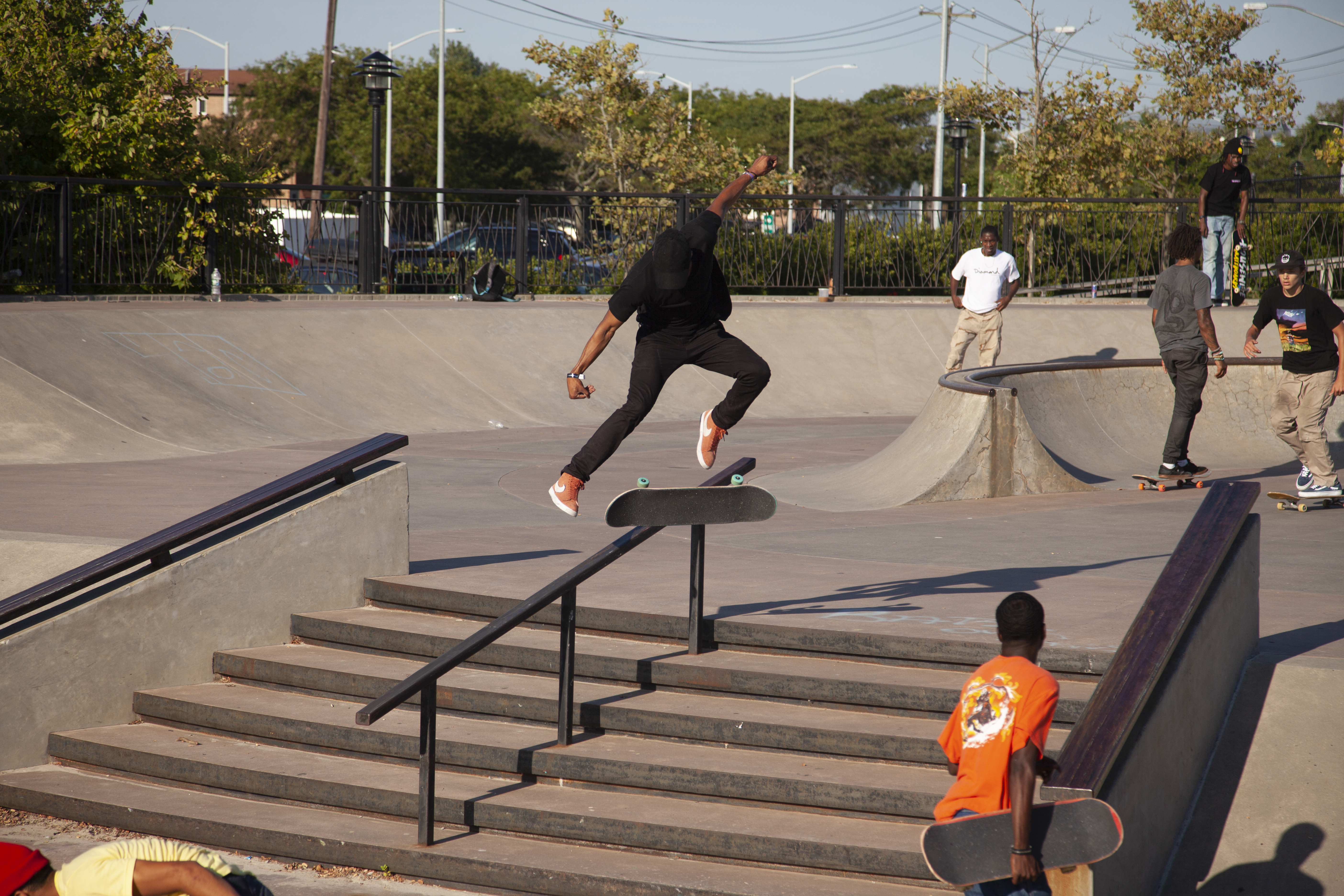
A skatepark, or skate park, is a purpose-built recreational environment made for skateboarding, BMX, scootering, wheelchairs, and aggressive inline skating. A skatepark may contain half-pipes, handrails, funboxes, vert ramps, stairsets, quarter pipes, ledges, spine transfers, pyramids, banked ramps, full pipes, pools, bowls, snake runs, and any number of other objects. History The first skatepark in the world, Surf City, opened for business at 5140 E. Speedway in Tucson, Arizona on September 3, 1965. Patti McGee, Women's National Champion, attended the grand opening. The park had concrete ramps and was operated by Arizona Surf City Enterprises, Inc. A skatepark for skateboarders and skaters made of plywood ramps on a half-acre lot in Kelso, Washington, USA opened in April 1966. It was lighted for night use. California's first skatepark, the Carlsbad Skatepark opened on March 3, 1976. The World Skateboard Championships were held here on April 10, 1977. It operated un ... [...More Info...] [...Related Items...] OR: [Wikipedia] [Google] [Baidu] |
Basketball
Basketball is a team sport in which two teams, most commonly of five players each, opposing one another on a rectangular Basketball court, court, compete with the primary objective of #Shooting, shooting a basketball (ball), basketball (approximately in diameter) through the defender's hoop (a basket in diameter mounted high to a Backboard (basketball), backboard at each end of the court, while preventing the opposing team from shooting through their own hoop. A Field goal (basketball), field goal is worth two points, unless made from behind the 3 point line, three-point line, when it is worth three. After a foul, timed play stops and the player fouled or designated to shoot a technical foul is given one, two or three one-point free throws. The team with the most points at the end of the game wins, but if regulation play expires with the score tied, an additional period of play (Overtime (sports), overtime) is mandated. Players advance the ball by bouncing it while walking ... [...More Info...] [...Related Items...] OR: [Wikipedia] [Google] [Baidu] |
Little League
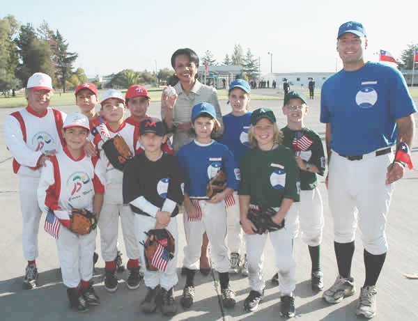
Little League Baseball and Softball (officially, Little League Baseball Inc) is a 501(c)(3) nonprofit organizationLittle League Baseball Inc, EIN: 23-1688231 . ''Tax Exempt Organization Search''. . Retrieved August 22, 2018. based in |
Roe Highway
Roe Highway is a limited-access highway and partial freeway in Perth, Western Australia, linking Kewdale with the city's north-eastern and south-western suburbs. The northern terminus is at Reid Highway and Great Northern Highway in Middle Swan, and the southern terminus is with Murdoch Drive at the Kwinana Freeway interchange in Bibra Lake. Roe Highway, in addition to Reid Highway, form State Route 3, a partial ring road around the outer suburbs of the Perth metropolitan area. Roe Highway also forms part of National Highway 94 from Great Eastern Highway Bypass to Great Eastern Highway, and National Highway 95 from Great Eastern Highway to Great Northern Highway. Although planning for Roe Highway's route began in the 1950s, construction on the highway's first segment only began in 1981, which was opened in 1983, concurrent with the construction of Tonkin Highway and development of the Kewdale industrial area. The highway remains a key heavy vehicle route in the Perth metr ... [...More Info...] [...Related Items...] OR: [Wikipedia] [Google] [Baidu] |
Sir John Forrest
Sir John Forrest (22 August 1847 – 2 SeptemberSome sources give the date as 3 September 1918 1918) was an Australian explorer and politician. He was the first premier of Western Australia (1890–1901) and a long-serving cabinet minister in federal politics. Forrest was born in Bunbury, Western Australia, to Scottish immigrant parents. He was the colony's first locally born surveyor, coming to public notice in 1869 when he led an expedition into the interior in search of Ludwig Leichhardt. The following year, Forrest accomplished the first land crossing from Perth to Adelaide across the Nullarbor Plain. His third expedition in 1874 travelled from Geraldton to Adelaide through the centre of Australia. Forrest's expeditions were characterised by a cautious, well-planned approach and diligent record-keeping. He received the Patron's Medal of the Royal Geographical Society in 1876. Forrest became involved in politics through his promotion to surveyor-general, a powerful posit ... [...More Info...] [...Related Items...] OR: [Wikipedia] [Google] [Baidu] |
Stock Road
Stock Road is an arterial road in the southern suburbs of Perth, Western Australia. The northern terminus is at Page Street in Attadale, near Point Walter on the Swan River. It runs southwards to Canning Highway and then Leach Highway as a residential road. Beyond Leach Highway, it is part of National Route 1, and continues south as a dual carriageway. It ends at Rockingham Road, which runs south as National Route 1 towards Rockingham, and north-west towards Fremantle Fremantle () () is a port city in Western Australia, located at the mouth of the Swan River in the metropolitan area of Perth, the state capital. Fremantle Harbour serves as the port of Perth. The Western Australian vernacular diminutive for .... Major intersections All intersections below are controlled by traffic signals unless otherwise indicated. See also References Roads in Perth, Western Australia Highway 1 (Australia) Hamilton Hill, Western Australia { ... [...More Info...] [...Related Items...] OR: [Wikipedia] [Google] [Baidu] |
Perth CBD
Perth is the capital and largest city of the Australian state of Western Australia. It is the fourth most populous city in Australia and Oceania, with a population of 2.1 million (80% of the state) living in Greater Perth in 2020. Perth is part of the South West Land Division of Western Australia, with most of the metropolitan area on the Swan Coastal Plain between the Indian Ocean and the Darling Scarp. The city has expanded outward from the original British settlements on the Swan River, upon which the city's central business district and port of Fremantle are situated. Perth is located on the traditional lands of the Whadjuk Noongar people, where Aboriginal Australians have lived for at least 45,000 years. Captain James Stirling founded Perth in 1829 as the administrative centre of the Swan River Colony. It was named after the city of Perth in Scotland, due to the influence of Stirling's patron Sir George Murray, who had connections with the area. It gained city status ... [...More Info...] [...Related Items...] OR: [Wikipedia] [Google] [Baidu] |
Kangaroos
Kangaroos are four marsupials from the family Macropodidae (macropods, meaning "large foot"). In common use the term is used to describe the largest species from this family, the red kangaroo, as well as the antilopine kangaroo, eastern grey kangaroo, and western grey kangaroo. Kangaroos are indigenous to Australia and New Guinea. The Australian government estimates that 42.8 million kangaroos lived within the commercial harvest areas of Australia in 2019, down from 53.2 million in 2013. As with the terms "wallaroo" and "wallaby", "kangaroo" refers to a paraphyletic grouping of species. All three terms refer to members of the same taxonomic family, Macropodidae, and are distinguished according to size. The largest species in the family are called "kangaroos" and the smallest are generally called "wallabies". The term "wallaroos" refers to species of an intermediate size. There are also the tree-kangaroos, another type of macropod, which inhabit the tropical rain ... [...More Info...] [...Related Items...] OR: [Wikipedia] [Google] [Baidu] |


