|
Cooks River
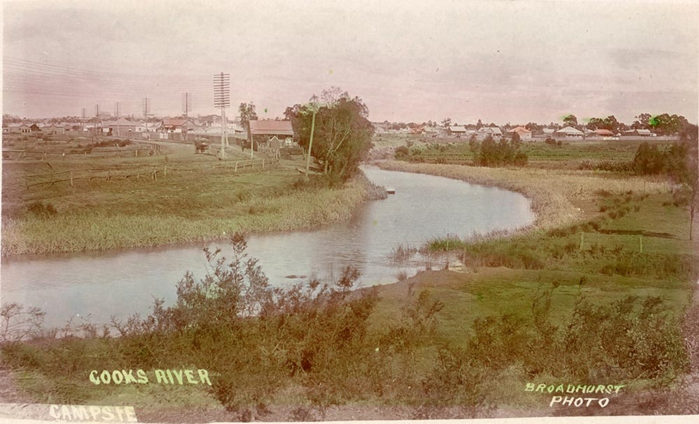
The Cooks River, a semi-mature tide-dominated drowned valley estuary, is a tributary of Botany Bay, located in south-eastern Sydney, New South Wales, Australia. The course of the long urban waterway has been altered to accommodate various developments along its shore. It serves as part of a stormwater system for the of its watershed, and many of the original streams running into it have been turned into concrete lined channels. The tidal sections support significant areas of mangroves, bird, and fish life, and are used for recreational activities. Course The river begins at Graf Park, Yagoona, then flows in a roughly north-easterly direction to Chullora. It reaches its northernmost point at Strathfield, where it leads into a concrete open canal, no more than one metre wide and thirty centimetres deep. It then heads towards the south-east. Where Cooks River runs through Strathfield Golf Course, the concrete lining has been partly removed. Here the plants have returned and hav ... [...More Info...] [...Related Items...] OR: [Wikipedia] [Google] [Baidu] |
Cadigal
The Cadigal, also spelled as Gadigal and Caddiegal, are a group of Indigenous people whose traditional lands are located in Gadi, on Eora country, the location of Sydney, New South Wales, Australia. The Gadigal originally inhabited the area that they call "Gadi", which lies south of Port Jackson, covering today's Sydney central business district and stretching from South Head across to Marrickville/ with part of the southern boundary lying on the Cooks River; most notably Sydney Cove is located in Gadi, the site where the first Union Jack was raised, marking the beginning of colonisation. However, since colonisation and its subsequent spread, most Gadigal people have been displaced from their traditional lands. Philip Gidley King gave Long Cove as the western boundary which lieutenant governor David Collins identified with present-day Darling Harbour. Arthur Phillip in a letter to Lord Sydney in February 1790 also reported: "From the entrance of the harbour, along the south s ... [...More Info...] [...Related Items...] OR: [Wikipedia] [Google] [Baidu] |
Tide
Tides are the rise and fall of sea levels caused by the combined effects of the gravity, gravitational forces exerted by the Moon (and to a much lesser extent, the Sun) and are also caused by the Earth and Moon orbiting one another. Tide tables can be used for any given locale to find the predicted times and amplitude (or "tidal range"). The predictions are influenced by many factors including the alignment of the Sun and Moon, the #Phase and amplitude, phase and amplitude of the tide (pattern of tides in the deep ocean), the amphidromic systems of the oceans, and the shape of the coastline and near-shore bathymetry (see ''#Timing, Timing''). They are however only predictions, the actual time and height of the tide is affected by wind and atmospheric pressure. Many shorelines experience semi-diurnal tides—two nearly equal high and low tides each day. Other locations have a diurnal cycle, diurnal tide—one high and low tide each day. A "mixed tide"—two uneven magnitude ... [...More Info...] [...Related Items...] OR: [Wikipedia] [Google] [Baidu] |
Tempe, New South Wales
Tempe is a suburb in the Inner West of Sydney, in the state of New South Wales, Australia. Tempe is located 9 kilometres south of the Sydney central business district in the local government area of Inner West Council. Tempe sits on the northern bank of the Cooks River and is separated from Sydney Airport by the Alexandra Canal, also known as Sheas Creek. The Wolli Creek waterway also empties into the Cooks River. History Tempe was named after the mansion on the southern banks of the Cooks River in the area that is now known as Wolli Creek. Alexander Brodie Spark (1792–1856), an immigrant from Elgin, Scotland, built Tempe House in 1836. It was named after the 'Vale of Tempe', a beautiful valley set at the foot of Mount Olympus in Greece, which was prominent in ancient Greek legend. Tempe House, designed by John Verge (1772–1861) in the Georgian style, is regarded as one of the great houses of Sydney. It is listed with the Heritage Council of New South Wales as well as ... [...More Info...] [...Related Items...] OR: [Wikipedia] [Google] [Baidu] |
Valley
A valley is an elongated low area often running between Hill, hills or Mountain, mountains, which will typically contain a river or stream running from one end to the other. Most valleys are formed by erosion of the land surface by rivers or streams over a very long period. Some valleys are formed through erosion by glacier, glacial ice. These glaciers may remain present in valleys in high mountains or polar areas. At lower latitudes and altitudes, these glaciation, glacially formed valleys may have been created or enlarged during ice ages but now are ice-free and occupied by streams or rivers. In desert areas, valleys may be entirely dry or carry a watercourse only rarely. In karst, areas of limestone bedrock, dry valleys may also result from drainage now taking place cave, underground rather than at the surface. Rift valleys arise principally from tectonics, earth movements, rather than erosion. Many different types of valleys are described by geographers, using terms th ... [...More Info...] [...Related Items...] OR: [Wikipedia] [Google] [Baidu] |
Cup & Saucer Creek
Cup and Saucer Creek, an urban watercourse of the Cooks River catchment, is located in the Canterbury-Bankstown region of Sydney, in New South Wales, Australia. Course and features Cup and Saucer Creek rises in Canterbury local government area, near Wiley Park railway station and flows in an east north-easterly direction through the suburbs of Roselands, Kingsgrove and Clemton Park, where it makes its confluence with the Cooks River, within the suburb of Earlwood. The upper reaches of the creek are a piped drainage system, which becomes part drain and part creek in the lower reaches. The Cup and Saucer Creek Catchment Management Study by the Water Board in 1992 showed extensive toxic organics in the form of polycyclic aromatic hydrocarbons and organochlorines. The creek is so named because of sandstone formations in the former bed of the creek. A concrete culvert over Bexley Road constructed in 1920 is listed on the NSW State Heritage Register The New South Wales State Heri ... [...More Info...] [...Related Items...] OR: [Wikipedia] [Google] [Baidu] |
Canterbury, New South Wales
Canterbury is a suburb extending across south-western Sydney and the Inner West, in the state of New South Wales, Australia. Canterbury is located south-west of the Sydney central business district in the City of Canterbury-Bankstown. The former City of Canterbury took its name from the suburb, however its administrative centre was located in the adjacent suburb of Campsie, which is also a large commercial centre. History The original inhabitants of the area were the Bediagal clan of the Eora nation. The first European land grant in this suburb was of to a "very good, pious, inoffensive man", the Reverend Richard Johnson (1753-1827), the colony's first chaplain, in 1793. He called his grant Canterbury Vale, as a tribute to Canterbury in England, and the suburb took its name from the farm. The farm extended over the area of modern-day Canterbury and Ashbury suburbs. By 1800, when it was sold to Lieutenant William Cox, the property covered . In 1803, when it covered , it ... [...More Info...] [...Related Items...] OR: [Wikipedia] [Google] [Baidu] |
Campsie, New South Wales
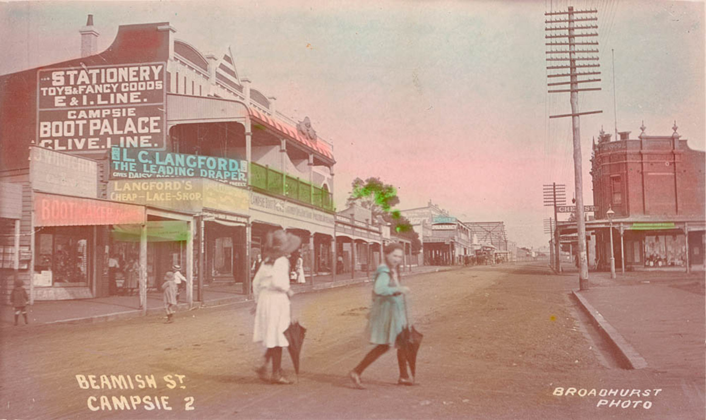
Campsie is a suburb in the state of New South Wales, Australia. Campsie is 11 kilometres south west of the Sydney central business district, on the southern bank of the Cooks River. Campsie is one of the administrative centres of the City of Canterbury-Bankstown. History Campsie was named after the Campsie parish in Stirlingshire, Scotland. Aboriginal culture Indigenous Australians lived in this area for thousands of years. In 1770, the land along the Cooks River was explored by officers from HM Bark ''Endeavour''. European settlement In the early days of European settlement, the land in this area was mostly used for farming. The southern parts of Campsie were part of the Laycock estate that extended to most of Kingsgrove. The area between South Campsie and the Cooks River was known as the Redman estates. John Redman was granted in 1812 and he later purchased the area to the east, which was a land grant of to Thomas Capon in 1817. The railway was completed in 1895, enc ... [...More Info...] [...Related Items...] OR: [Wikipedia] [Google] [Baidu] |
Belfield, New South Wales
Belfield is a suburb of Sydney, in the state of New South Wales, Australia. It is southwest of the Sydney central business district, in the local government area of the City of Canterbury-Bankstown and partly in the Municipality of Strathfield. Location Belfield has a mixture of residential, light industrial and commercial areas. A small shopping strip is located along Burwood Road. The Cooks River and its tributary, Coxs Creek, form a natural border, to the north of the suburb, separating it from Strathfield South. The suburb is bisected by Punchbowl Road. The section northwest of that road is in Strathfield Council, while the section southeast of the road is in Canterbury-Bankstown Council. Population According to the 2016 census, there were 6,322 residents in Belfield. 56.6% of residents were born in Australia. The most common other countries of birth were China 5.3%, Lebanon 5.2%, South Korea 4.3%, Italy 3.3% and Greece 2.3%. The most common reported ancestries were Leba ... [...More Info...] [...Related Items...] OR: [Wikipedia] [Google] [Baidu] |
Concrete
Concrete is a composite material composed of fine and coarse aggregate bonded together with a fluid cement (cement paste) that hardens (cures) over time. Concrete is the second-most-used substance in the world after water, and is the most widely used building material. Its usage worldwide, ton for ton, is twice that of steel, wood, plastics, and aluminum combined. Globally, the ready-mix concrete industry, the largest segment of the concrete market, is projected to exceed $600 billion in revenue by 2025. This widespread use results in a number of environmental impacts. Most notably, the production process for cement produces large volumes of greenhouse gas emissions, leading to net 8% of global emissions. Other environmental concerns include widespread illegal sand mining, impacts on the surrounding environment such as increased surface runoff or urban heat island effect, and potential public health implications from toxic ingredients. Significant research and development is ... [...More Info...] [...Related Items...] OR: [Wikipedia] [Google] [Baidu] |
Strathfield
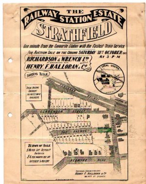
Strathfield is a suburb in the Inner West of Sydney, in the state of New South Wales, Australia. It is located 12 kilometres west of the Sydney central business district and is the administrative centre of the Municipality of Strathfield. A small section of the suburb north of the railway line lies within the City of Canada Bay, while the area east of The Boulevard lies within the Municipality of Burwood. North Strathfield and Strathfield South are separate suburbs to the north and south, respectively. History The Strathfield district lies between the Concord Plains to the north and the Cooks River to the south, and was originally occupied by the Wangal clan. European colonisation in present-day Strathfield commenced in 1793 with the issue of land grants in the area of "Liberty Plains", an area including present-day Strathfield as well as surrounding areas, where the first free settlers received land grants. In 1808, a grant was made to James Wilshire, which forms the larg ... [...More Info...] [...Related Items...] OR: [Wikipedia] [Google] [Baidu] |
Chullora
Chullora, a suburb in the City of Canterbury-Bankstown local government area, is located 15 kilometres west of the Sydney central business district, in the state of New South Wales, Australia. It is part of the Greater Western Sydney region. The suburb is entirely industrial and commercial, and has no residents. History The suburb of Chullora was originally part of the area known as Liberty Plains, which was land given to the first free settlers who arrived in Sydney Cove on 6 January 1793. In the 1950s, many immigrants from Europe were housed in the area. Once established, they moved to other parts of Sydney. Chullora was the name used for one of the estates in this area. Chullora is an Aboriginal word meaning 'flour'. The construction of the Tip Top Bakeries has perhaps brought the suburbs back to its roots. During World War II, Chullora was selected as the site for a major wartime manufacturing plant. The site once occupied several hundred acres of land surrounded by Rookw ... [...More Info...] [...Related Items...] OR: [Wikipedia] [Google] [Baidu] |
Mangroves
A mangrove is a shrub or tree that grows in coastal saline or brackish water. The term is also used for tropical coastal vegetation consisting of such species. Mangroves are taxonomically diverse, as a result of convergent evolution in several plant families. They occur worldwide in the tropics and subtropics and even some temperate coastal areas, mainly between latitudes 30° N and 30° S, with the greatest mangrove area within 5° of the equator. Mangrove plant families first appeared during the Late Cretaceous to Paleocene epochs, and became widely distributed in part due to the movement of tectonic plates. The oldest known fossils of mangrove palm date to 75 million years ago. Mangroves are salt-tolerant trees, also called halophytes, and are adapted to live in harsh coastal conditions. They contain a complex salt filtration system and a complex root system to cope with saltwater immersion and wave action. They are adapted to the low-oxygen conditions of water ... [...More Info...] [...Related Items...] OR: [Wikipedia] [Google] [Baidu] |


