|
Conestoga Trail System
The Conestoga Trail is a linear Trail, hiking trail in Lancaster County, Pennsylvania. The trail connects several relatively short and discontinuous footpaths with walks on paved roads. About 53% of the network's distance is made up of road walking, and those segments are intended to showcase the rural scenery of Lancaster County, utilizing three covered bridges and passing numerous Amish and Mennonite farms, as well as some urban and suburban neighborhoods in and around Lancaster, Pennsylvania, Lancaster. The footpath segments offer wilderness scenery of the type that can be found in many of Pennsylvania's forested areas, plus some walks alongside farm fields. Most of the off-road portions of the route are on private property, so except for several miles near the south end of the route, camping is prohibited along most of the Conestoga Trail. The trail route is maintained by Lancaster Hiking Club, which regularly searches for options to relocate the route off of roads and into ... [...More Info...] [...Related Items...] OR: [Wikipedia] [Google] [Baidu] |
Lancaster County, Pennsylvania
Lancaster County (; Pennsylvania Dutch: Lengeschder Kaundi), sometimes nicknamed the Garden Spot of America or Pennsylvania Dutch Country, is a county in the Commonwealth of Pennsylvania. It is located in the south central part of Pennsylvania. As of the 2020 census, the population was 552,984. Its county seat is Lancaster. Lancaster County comprises the Lancaster, Pennsylvania metropolitan statistical area. Lancaster County is a tourist destination with its Amish community a major attraction. Contrary to popular belief, the word "Dutch" in "Pennsylvania Dutch" is not a mistranslation, but rather a corruption of the Pennsylvania German endonym ''Deitsch'', which means "Pennsylvania Dutch / German" or "German". Ultimately, the terms Deitsch, Dutch, Diets, and Deutsch are all cognates of the Proto-Germanic word meaning "popular" or "of the people". The continued use of "Dutch" instead of "German" was strengthened by the Pennsylvania Dutch in the 19th century as a way of distin ... [...More Info...] [...Related Items...] OR: [Wikipedia] [Google] [Baidu] |
Atglen And Susquehanna Branch
Atglen may refer to: Places *Atglen, Pennsylvania Atglen is a borough in Chester County, Pennsylvania, United States. According to the 2020 Census, its population is 1,311. History The area now known as Atglen was originally a wilderness. Native Americans made paths which cut across this are ..., a borough in Chester County, Pennsylvania, in the United States ships * USS ''Atglen'' (ID-1315), also listed as ID-1350, a United States Navy barge in commission from 1917 to 1919 {{disambig ... [...More Info...] [...Related Items...] OR: [Wikipedia] [Google] [Baidu] |
Zook's Mill Covered Bridge
The Zook's Mill Covered Bridge is a covered bridge that spans Cocalico Creek in Lancaster County, Pennsylvania, United States. A county-owned and maintained bridge, its official designation is the Cocalico #7 Bridge. The bridge is also known as Wenger Covered Bridge or Rose Hill Covered Bridge. It is located west of Brownstown on T 797, near the Warwick and West Earl Townships. The bridge has a single span, wooden, double Burr arch trusses design with the addition of steel hanger rods. The deck is made from oak planks. It is painted red, the traditional color of Lancaster County covered bridges, on both the inside and outside. Both approaches to the bridge are painted red with white trim. The bridge is 74 feet long and 13 feet three inches wide. It has a wooden burr type truss and was built in 1849 by Henry Zook. Unlike many other bridges in the county the bridge withstood Hurricane Agnes, despite being filled with feet of water. It is also known as the Wenger Covered Bridge ... [...More Info...] [...Related Items...] OR: [Wikipedia] [Google] [Baidu] |
PA 722
Pennsylvania Route 722 (PA 722) is an , east–west state highway located in central Lancaster County, Pennsylvania. The western terminus is at an interchange with PA 283 in East Hempfield Township, where State Road continues westward toward Harrisburg Pike turning into Centerville Road upon crossing. The eastern terminus is at PA 272 in Oregon. PA 722 is a two-lane undivided road that passes through suburban areas to the north of Lancaster. The route intersects PA 72 in East Petersburg and forms a concurrency with PA 501 in Neffsville. The road was paved west of East Petersburg by 1911 and east of there by 1926. PA 722 was designated by 1930 between U.S. Route 230 (US 230) in Bamford and US 222 and PA 772 in Brownstown. The eastern terminus was moved to its current location at US 222 (now PA 272) in the 1930s, with US 222 replacing the route east of there. The western terminus was moved to its current location following a realignment of US 230 in 1949. The wester ... [...More Info...] [...Related Items...] OR: [Wikipedia] [Google] [Baidu] |
PA 272
Pennsylvania Route 272 (PA 272) is a highway in southeastern Pennsylvania, in the Lancaster area. The southern terminus of the route is at the Mason–Dixon line southeast of Nottingham, where the road continues into Maryland as Maryland Route 272 (MD 272). The northern terminus is at an interchange with U.S. Route 222 (US 222) and PA 568 near Adamstown, where PA 568 continues east. The route heads from the Maryland border northwest through the western corner of Chester County, intersecting US 1 in Nottingham. PA 272 continues west into Lancaster County and intersects US 222 in Wakefield, where it turns north and passes through Buck before widening into a divided highway as it comes to another junction with US 222 in Willow Street. Here, the route becomes unsigned and follows US 222 north through Lancaster along a one-way pair of city streets. North of Lancaster, US 222 splits at an interchange with US 30 and PA 272 becomes signed again, heading northeast parallel to the freeway ... [...More Info...] [...Related Items...] OR: [Wikipedia] [Google] [Baidu] |
Pinetown Bushong's Mill Covered Bridge
The Pinetown Bushong's Mill Covered Bridge is a covered bridge that spans the Conestoga River in Lancaster County, Pennsylvania, United States. A county-owned and maintained bridge, its official designation is the Big Conestoga #6 Bridge. The bridge is also known as Pinetown Covered Bridge, Nolte's Point Mill Bridge and Bushong's Mill Bridge. The bridge has a single span, wooden, double Burr arch trusses design with the addition of steel hanger rods. The deck is made from oak planks. It is painted red, the traditional color of Lancaster County covered bridges, on both the inside and outside. Both approaches to the bridge are painted in red with white trim. The bridge's WGCB Number is 38-36-05. Added in 1980, it is listed on the National Register of Historic Places as structure number 80003527. It is located at (40.10533, -76.24817). Lititz Run joins the Conestoga River at this site. History The bridge was built in 1867 by Elias McMellen at a cost of $4,500. In 1972 ... [...More Info...] [...Related Items...] OR: [Wikipedia] [Google] [Baidu] |
Hunsecker's Mill Covered Bridge
The Hunsecker's Mill Covered Bridge is a covered bridge located in Lancaster County, Pennsylvania, United States. The bridge has a single span, wooden, double Burr arch trusses design. The bridge, which spans the Conestoga River, is long, making it the longest single span covered bridge in the county. The bridge's WGCB Number is 38-36-06. Unlike most historic covered bridges in the county, it is not listed on the National Register of Historic Places. It is located at (40.08717, -76.24750). The bridge is approximately one mile southeast of Pennsylvania Route 272 and is north of Pennsylvania Route 23 off Mondale Road on Hunsecker Road, just west of the community of Hunsecker. The bridge divides the road on which it is upon into Hunsecker Road (East) in Upper Leacock Township and Hunsicker Road (West) in Manheim Township. History The original bridge was built in 1843 by John Russell at a cost of $1,988. It was and is a double Burr Arch truss system. It has been swept away ... [...More Info...] [...Related Items...] OR: [Wikipedia] [Google] [Baidu] |
Mennonites
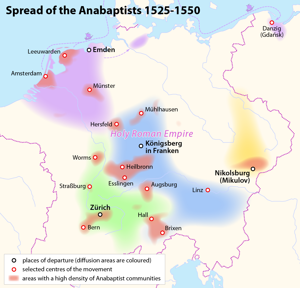
Mennonites are groups of Anabaptist Christian church communities of denominations. The name is derived from the founder of the movement, Menno Simons (1496–1561) of Friesland. Through his writings about Reformed Christianity during the Radical Reformation, Simons articulated and formalized the teachings of earlier Swiss founders, with the early teachings of the Mennonites founded on the belief in both the mission and ministry of Jesus, which the original Anabaptist followers held with great conviction, despite persecution by various Roman Catholic and Mainline Protestant states. Formal Mennonite beliefs were codified in the Dordrecht Confession of Faith in 1632, which affirmed "the baptism of believers only, the washing of the feet as a symbol of servanthood, church discipline, the shunning of the excommunicated, the non-swearing of oaths, marriage within the same church, strict pacifistic physical nonresistance, anti-Catholicism and in general, more emphasis on "true Christ ... [...More Info...] [...Related Items...] OR: [Wikipedia] [Google] [Baidu] |
Pennsylvania Route 462
Pennsylvania Route 462 (PA 462) is a east–west state route in York and Lancaster counties in central Pennsylvania. The western terminus is west of York, and the eastern terminus is east of Lancaster. At both ends, PA 462 terminates at U.S. Route 30 (US 30), which follows a mostly freeway alignment parallel to the north between York and Lancaster. The route heads east into York, where it follows the one-way pair of Market Street eastbound and Philadelphia Street westbound. In York, PA 462 runs concurrent with PA 74 and crosses Interstate 83 Business (I-83 Bus.). East of York, the route becomes a multilane road that has an interchange with I-83 and crosses PA 24. PA 462 continues east through Hallam to Wrightsville and passes through that town before it crosses the Susquehanna River and runs through Columbia. East of here, the route continues through Mountville before reaching the city of Lancaster. In Lancaster, PA 462 is routed on the one-way pair of King Street east ... [...More Info...] [...Related Items...] OR: [Wikipedia] [Google] [Baidu] |
Conestoga River
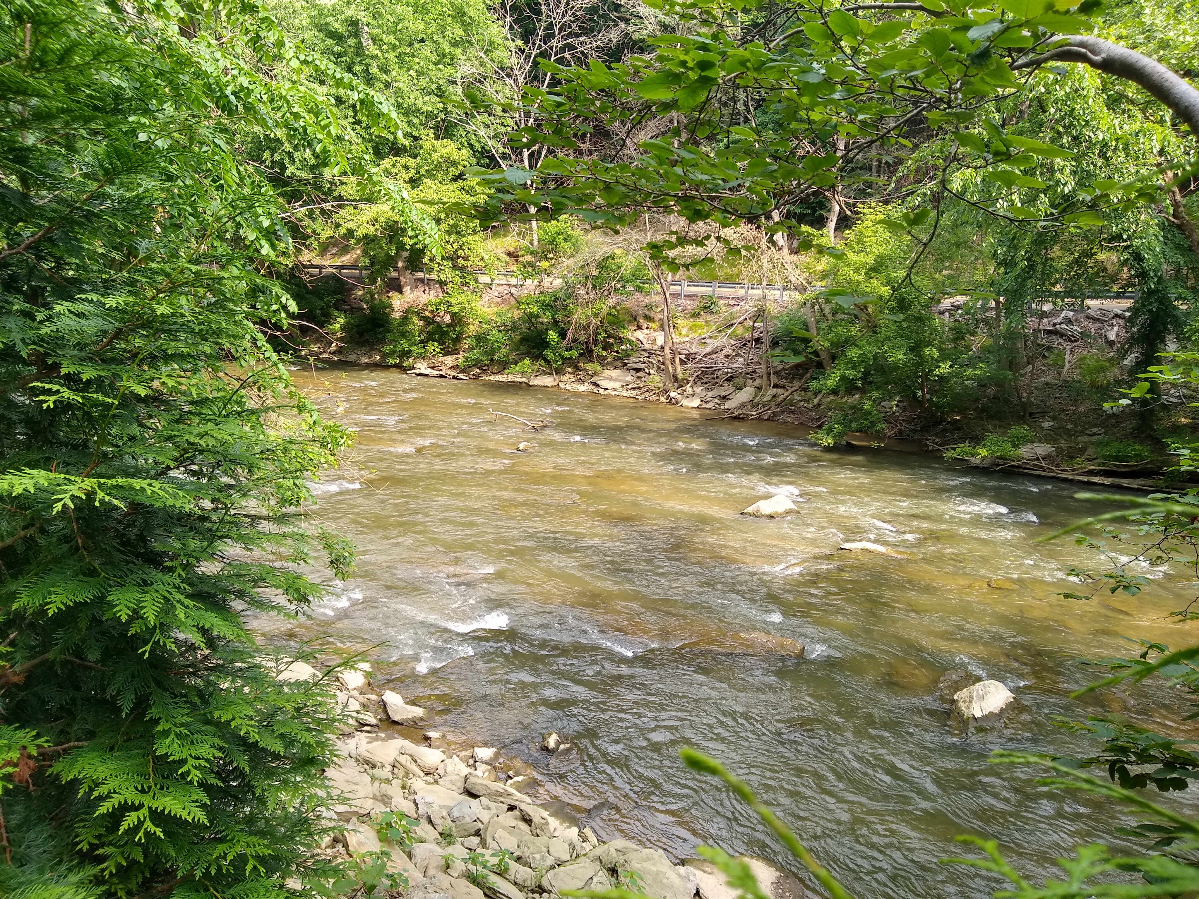
The Conestoga River, also referred to as Conestoga Creek, is a U.S. Geological Survey. National Hydrography Dataset high-resolution flowline dataThe National Map, accessed August 8, 2011 tributary of the Susquehanna River flowing through the center of Lancaster County, Pennsylvania, United States. Geography Its headwaters rise mostly in southern Berks County and northeastern Lancaster County, in an area known as "Bortz's Swamp" or "Penngall Field" (a small area rises in Chester County). The East Branch and West Branch of the Conestoga join to form the main river just north of Morgantown, and the stream flows from northeast to southwest for more than , passing close to the center of Lancaster and ending at Safe Harbor along the Susquehanna River, approximately north of the Pennsylvania-Maryland state line. The principal tributaries of the Conestoga River are Cocalico Creek, Mill Creek, and Little Conestoga Creek; they drain into the Conestoga River watershed in the order ... [...More Info...] [...Related Items...] OR: [Wikipedia] [Google] [Baidu] |
PA 741
Pennsylvania Route 741 (PA 741) is a state highway that runs through western and southern Lancaster County in the U.S. state of Pennsylvania. The western terminus is along Rohrerstown Road north of an intersection with Commercial Avenue near East Petersburg. The eastern terminus is at PA 41 in Gap. PA 741 heads south from East Petersburg and runs through the western suburbs of Lancaster. The route turns southeast and passes through Millersville before it turns east at New Danville. PA 741 forms a concurrency with U.S. Route 222 (US 222) between Willow Street and Lampeter before it continues east through farmland in the Pennsylvania Dutch Country that is home to several Amish families, passing through Strasburg before reaching Gap. The section of road between Willow Street and Lampeter was designated as part of US 230 in 1926 and concurrent with PA 72 in 1927, with US 222 replacing US 230 by 1928. In 1928, the road between Willow Street and Gap became part of PA 41. ... [...More Info...] [...Related Items...] OR: [Wikipedia] [Google] [Baidu] |


