|
Colegio La Salle Simón Bolívar
Colegio La Salle Simón Bolívar is a private school system in Mexico City. It has two campuses: the Galicia Campus in Colonia Insurgentes, Mixcoac Mixcoac is an area of southern Mexico City which used to be a separate town and municipality within the Mexican Federal District until it was made part of Mexico City proper (the '' Departamento Central'' at the time) in 1928. Mixcoac consists ..., Benito Juárez and the Mixcoac campus in Col. Florida, Mixcoac. The former has primary school and the latter has middle and senior high school. " Colegio La Salle Simón Bolívar. Retrieved on April 14, 2016. "Galicia #8 Col. Insurgentes Mixcoac C.P. 03920 México, D.F." and "Av. Río Mixcoac #275 Col. Florida C.P. 01030 México, D.F." References External links [...More Info...] [...Related Items...] OR: [Wikipedia] [Google] [Baidu] |
Simón Bolívar
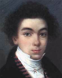
Simón José Antonio de la Santísima Trinidad Bolívar y Palacios (24 July 1783 – 17 December 1830) was a Venezuelan military and political leader who led what are currently the countries of Colombia, Venezuela, Ecuador, Peru, Panama and Bolivia to independence from the Spanish Empire. He is known colloquially as '' El Libertador'', or the ''Liberator of America''. Simón Bolívar was born in Caracas in the Captaincy General of Venezuela into a wealthy criollo family. Before he turned ten, he lost both parents and lived in several households. Bolívar was educated abroad and lived in Spain, as was common for men of upper-class families in his day. While living in Madrid from 1800 to 1802, he was introduced to Enlightenment philosophy and met his future wife María Teresa Rodríguez del Toro y Alaysa. After returning to Venezuela, in 1803 del Toro contracted yellow fever and died. From 1803 to 1805, Bolívar embarked on a grand tour that ended in Rome, where he swore t ... [...More Info...] [...Related Items...] OR: [Wikipedia] [Google] [Baidu] |
Mexico City
Mexico City ( es, link=no, Ciudad de México, ; abbr.: CDMX; Nahuatl: ''Altepetl Mexico'') is the capital and largest city of Mexico, and the most populous city in North America. One of the world's alpha cities, it is located in the Valley of Mexico within the high Mexican central plateau, at an altitude of . The city has 16 boroughs or ''demarcaciones territoriales'', which are in turn divided into neighborhoods or ''colonias''. The 2020 population for the city proper was 9,209,944, with a land area of . According to the most recent definition agreed upon by the federal and state governments, the population of Greater Mexico City is 21,804,515, which makes it the sixth-largest metropolitan area in the world, the second-largest urban agglomeration in the Western Hemisphere (behind São Paulo, Brazil), and the largest Spanish-speaking city (city proper) in the world. Greater Mexico City has a GDP of $411 billion in 2011, which makes it one of the most productive urb ... [...More Info...] [...Related Items...] OR: [Wikipedia] [Google] [Baidu] |
Mixcoac
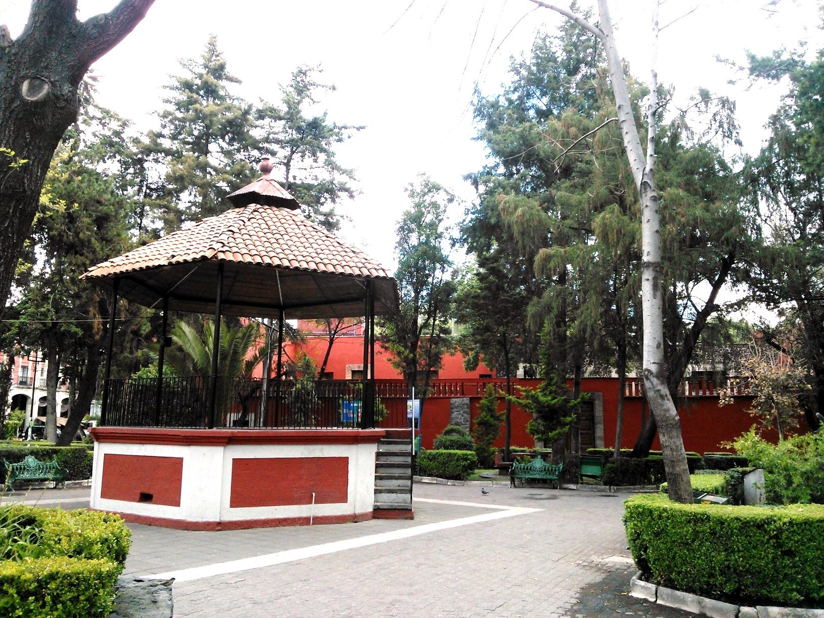
Mixcoac is an area of southern Mexico City which used to be a separate town and municipality within the Mexican Federal District until it was made part of Mexico City proper (the '' Departamento Central'' at the time) in 1928. Mixcoac consists of the '' colonias'' (official neighborhoods) of Nonoalco, San Juan, Extremadura Insurgentes, Mixcoac, and Insurgentes Mixcoac and is part of the borough of Benito Juárez. It is bounded by Avenida de los Insurgentes to the east and the Periférico freeway to the west, south of Colonia Nápoles and San Pedro de los Pinos. It is a designated ''Barrio Mágico'' ("magical neighborhood") of Mexico City. History The name "Mixcoac" comes from the Nahuatl language mixtli (cloud), coatl (serpent), cómo (in), and means "Place of the Cloud Serpent", alluding to the Milky Way and the god Mixcóatl. Before the Spanish conquest there was a small settlement on the edge of Lake Texcoco, the lake that surrounded the island city of Tenocht ... [...More Info...] [...Related Items...] OR: [Wikipedia] [Google] [Baidu] |
Benito Juárez, Mexico City
Benito Juárez (), is a borough (''demarcación territorial'') in Mexico City. It is a largely residential area, located to the south of historic center of Mexico City, although there are pressures for areas to convert to commercial use. It was named after Benito Juárez, president in the 19th century. The borough has the highest socioeconomic index in the country as it is primarily populated by the middle and upper middle classes. The borough is home to a number of landmarks such as the World Trade Center Mexico City, the Estadio Azul, the Plaza México and the Polyforum Cultural Siqueiros. The borough The borough is in the north center of the Mexico City, just south of the oldest section of the city. It borders the boroughs of Miguel Hidalgo, Cuauhtémoc, Coyoacán, Iztapalapa, Iztacalco and Álvaro Obregón. The borders are formed by two rivers, the La Piedad and the Churubusco, as well as the following streets: Presidente Adolfo López Mateos (Anillo Periférico), 11 de Abri ... [...More Info...] [...Related Items...] OR: [Wikipedia] [Google] [Baidu] |


