|
Cofton Hackett
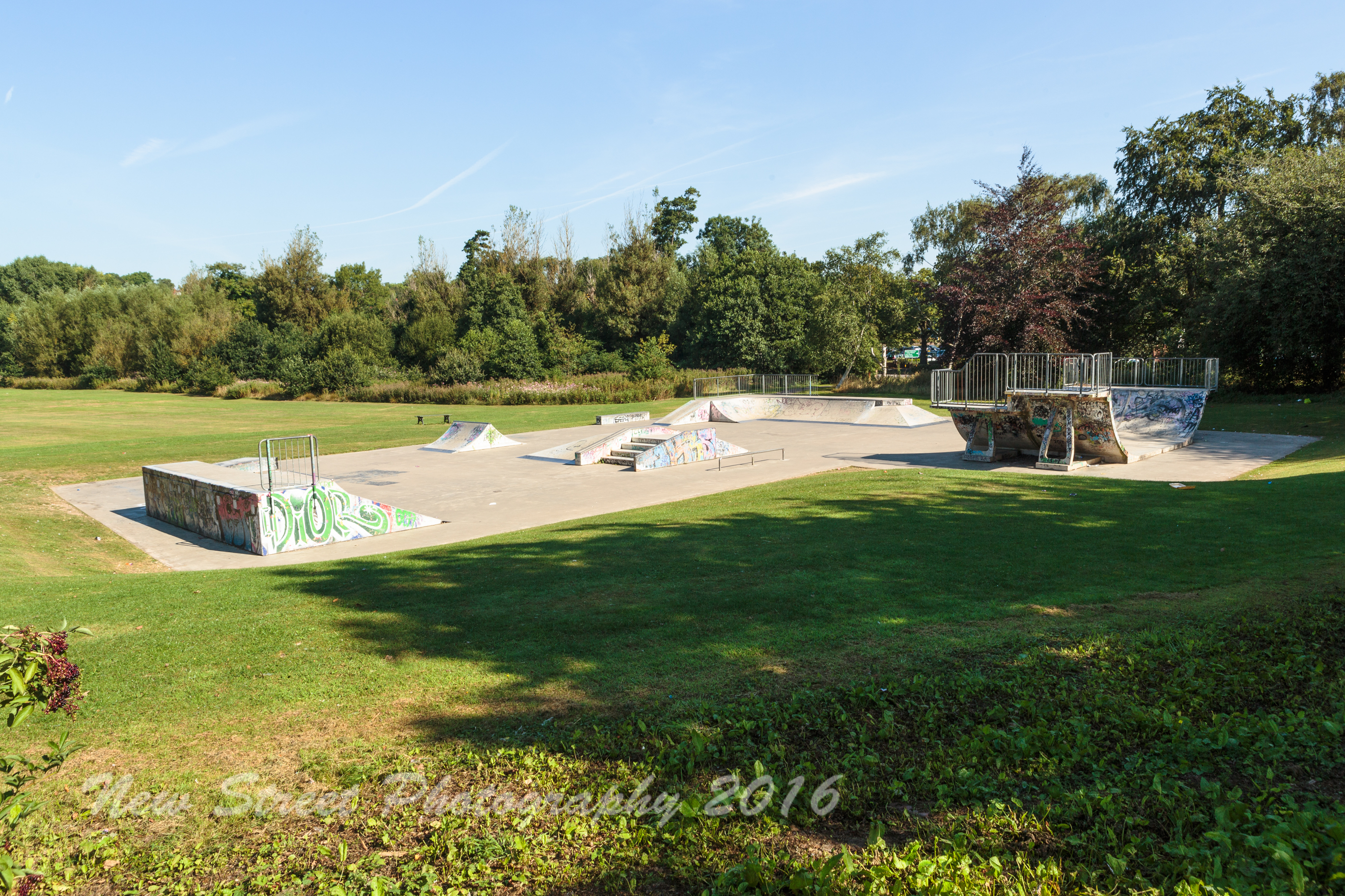
Cofton Hackett is a village and civil parish in the Bromsgrove District of north east Worcestershire, England. It is southwest of the city centre of Birmingham and northeast of Worcester. In 2011, the village had a population of 1,893 but with housing development on the former Austin Rover site, this is expected to double over the five years to 2023. The village is served by two main bus services, these being the 20 (Cofton Hackett – Queen Elizabeth Hospital) and 145/145A (Longbridge – Droitwich) operated by National Express and Diamond Bus respectively. History Early history Cofton Hackett is an ancient settlement mentioned in historical documents dating back to 780 AD. ''Coſtune'' (Costune) was among places granted by King Offa to the minster of St Peter, Bredon in 780. The bounds for this estate probably covered the parishes of Alvechurch and Cofton. The spelling of the name has varied over the centuries: for many centuries, the usual spelling was Coston. Howeve ... [...More Info...] [...Related Items...] OR: [Wikipedia] [Google] [Baidu] |
Bromsgrove (district)
Bromsgrove is a local government district in Worcestershire, England. Its council is based in the town of Bromsgrove. It borders the built up area of Birmingham to the north. Other places in the district include Alvechurch, Aston Fields, Belbroughton, Catshill, Clent, Hagley, Rubery, Stoke Prior and Wythall. The current district was formed on 1 April 1974 by the merger of Bromsgrove urban district and Bromsgrove rural district. Bromsgrove forms part of the Greater Birmingham & Solihull Local Enterprise Partnership. Population The following table illustrates the change in the district's population between 1801 and 2011. Transport Bromsgrove railway station is the local station for the district's centre, but there are several others within the district. Road travel, especially to Birmingham, is also important in the district. Barnt Green railway station and Alvechurch railway station are on the line to Redditch. Hagley railway station and Wythall railway station are als ... [...More Info...] [...Related Items...] OR: [Wikipedia] [Google] [Baidu] |
Hundred (country Subdivision)
A hundred is an administrative division that is geographically part of a larger region. It was formerly used in England, Wales, some parts of the United States, Denmark, Southern Schleswig, Sweden, Finland, Norway, the Bishopric of Ösel–Wiek, Curonia, the Ukrainian state of the Cossack Hetmanate and in Cumberland County in the British Colony of New South Wales. It is still used in other places, including in Australia (in South Australia and the Northern Territory). Other terms for the hundred in English and other languages include ''wapentake'', ''herred'' (Danish and Bokmål Norwegian), ''herad'' ( Nynorsk Norwegian), ''hérað'' (Icelandic), ''härad'' or ''hundare'' (Swedish), ''Harde'' (German), ''hiird'' ( North Frisian), ''satakunta'' or ''kihlakunta'' (Finnish), ''kihelkond'' (Estonian), ''kiligunda'' (Livonian), ''cantref'' (Welsh) and ''sotnia'' (Slavic). In Ireland, a similar subdivision of counties is referred to as a barony, and a hundred is a subdivision of a part ... [...More Info...] [...Related Items...] OR: [Wikipedia] [Google] [Baidu] |
Tardebigge
Tardebigge () is a village in Worcestershire, England. The village is most famous for the Tardebigge Locks, a flight of 30 canal locks that raise the Worcester and Birmingham Canal over over the Lickey Ridge. It lies in the county of Worcestershire, although it was also historically an exclave of Staffordshire or Warwickshire at different times in its history. Toponymy The name ''Tærdebicga'' has no likely meaning in Old English or Celtic; Eilert Ekwall simply says it is "unexplained". History Tardebigge was once a much greater township, which included much of Redditch, including the modern day town-centre. Its name was recorded twice in a will as Anglo-Saxon ''æt Tærdebicgan''. Records of the parish begin in the late 10th century. Tardebigge was bought by the Dean of Worcester for his Church from King Ethelred the Unready. In the later Dark Ages there were battles fought between Ethelred's son Edmund Ironside and the Cnut the Dane. In the 12th century, the parish was ... [...More Info...] [...Related Items...] OR: [Wikipedia] [Google] [Baidu] |
Salwarpe
Salwarpe is a small village and civil parish in the Wychavon district of Worcestershire, England, less than two miles south west of Droitwich, but in open country. The name is also spelled Salwarp, and in the time of John Leland was recorded as Salop. Since 2003, Salwarpe has shared a parish council with Hindlip and Martin Hussingtree. History A Saxon charter of the year 817 records that Coenwulf, King of Mercia, granted the manor of Salwarpe to Denebeorht, Bishop of Worcester, and his Priory. By the 11th century, the grant had been alienated, and a nobleman named Godwine had possession of the principal manor of Salwarpe, while his brother Leofric, Earl of Mercia, was a lesser landowner there. As Godwine was dying about 1052, Saint Wulfstan, who was Dean of Worcester, persuaded him to give his manor of Salwarpe back to Worcester Priory, but Godwine's son Ethelwine (named in the Domesday Book as being in possession in the time of King Edward) repudiated his father's Will and ke ... [...More Info...] [...Related Items...] OR: [Wikipedia] [Google] [Baidu] |
Northfield, Birmingham
Northfield is a residential area in outer south Birmingham, England, and near the boundary with Worcestershire. It is also a council constituency, managed by its own district committee. The constituency includes the wards of Kings Norton, Longbridge, Weoley Castle and the smaller ward of Northfield that includes West Heath and Turves Green. Mentioned in the Domesday Book and formerly a small village, then included in north Worcestershire, Northfield became part of Birmingham in 1911 after it had been rapidly expanded and developed in the period prior to World War I. The northern reaches of Northfield fall within the Bournville model village and the southern housing estates were originally built by Austin Motors for their workforce. A centre of the Midlands nail making industry during the 19th century and home to both the Kalamazoo paper factory and the Austin motor company's Longbridge factory in the 20th century, today Northfield is predominantly a residential and dormitory ... [...More Info...] [...Related Items...] OR: [Wikipedia] [Google] [Baidu] |
Kings Norton
Kings Norton, alternatively King's Norton, is an area of Birmingham, England. Historically in Worcestershire, it was also a Birmingham City Council ward within the Government of Birmingham, England. The district lies 6.5 miles south-southwest of Birmingham city centre and is within 1.5 miles of the north Worcestershire border. Kings Norton has been split into two wards, Kings Norton North and Kings Norton South. History There was Romano-British occupation near the later town. Excavations at Kings Norton found signs of a small Romano-British settlement, including Roman pottery and a Roman ditch at Parsons Hill, near Icknield Street. Kings Norton derives its origin from the basic Early English ''Nor + tun'', meaning North settlement and belonging to or held by the king, when Kings Norton was the northernmost of the berewicks or outlying manors of Bromsgrove in Worcestershire. Before 1066 these manors with many others in Birmingham had belonged to Earl Edwin, the Anglo-Saxon ... [...More Info...] [...Related Items...] OR: [Wikipedia] [Google] [Baidu] |
Kington, Worcestershire
Kington is a village in Worcestershire, England, situated near to Flyford Flavell. History The earliest known recording of Kington in the Domesday Book Domesday Book () – the Middle English spelling of "Doomsday Book" – is a manuscript record of the "Great Survey" of much of England and parts of Wales completed in 1086 by order of King William I, known as William the Conqueror. The manusc ... under "cyne-turne" – the "King's farmstead". Kington had two Anabaptist congregations in 1669, as with some other parts of eastern Worcestershire, where they had strongest support among poorer people. In 1714 Mr and Mrs Woolmere sold the Manor of Kington to Thomas Vernon (1654–1721). As he had no children the estate passed to his second cousin Bowater Vernon and then in turn to Thomas Vernon (1724–1771).''Life in the Woods'', Janet Gourd, 2003 Lychgate Publishing, Tillington, West Sussex. p56 and ''Grafton Wood Estate Map 1740'' Croome Estate Archives References ... [...More Info...] [...Related Items...] OR: [Wikipedia] [Google] [Baidu] |
Hampton Lovett
Hampton Lovett is a village and civil parish in the Wychavon district of the county of Worcestershire, England. It is just north of Droitwich. The church of St. Mary and All Saints is noted for its Norman features. English Heritage lists the church as a Grade I listed building. People People from Hampton Lovett include: * Sir John Pakington (died 1551), an MP and High Sheriff. Burials Burials at Hampton Lovett include: * Oswald Partington, 2nd Baron Doverdale Oswald Partington, 2nd Baron Doverdale (4 May 1872 – 23 March 1935) was a Liberal Party politician in the United Kingdom. Career The second but oldest surviving son of mill-owner Edward Partington (who became the 1st Baron Doverdale), Oswald ... References Villages in Worcestershire {{Worcestershire-geo-stub ... [...More Info...] [...Related Items...] OR: [Wikipedia] [Google] [Baidu] |
Feckenham
Feckenham is a village and civil parish in the Borough of Redditch in Worcestershire, England. It lies some south-west of the town of Redditch and some east of the city of Worcester. It had a population of 670 in the 2001 census and its immediate area is the location of notable royal manors that cover over 1,000 years of English history documented in many royal charters and Acts of Parliament. At its greatest, the historic Forest of Feckenham stretched to the River Avon in the south and to Worcester in the west. In 1389 Geoffrey Chaucer was as Clerk of Works and Keeper of the Lodge. Feckenham in the 21st century is a rural community with a traditional English village green with walking and riding routes, including the long-distance public footpath, The Monarch's Way, that passes about 1.5 miles east of the village. History Name The village name has been recorded as Feccanhom (9th century), Feccheham (11th century), Fekkeham, Fekeham (12th century), Feckeham, Feckaham, Fe ... [...More Info...] [...Related Items...] OR: [Wikipedia] [Google] [Baidu] |
Elmbridge, Worcestershire
Elmbridge is a small community, mainly clustered in a village and forms a civil parish in Worcestershire, England. Geography It occupies the top of the gentle, mainly green, vale of the Elmbridge Brook which feeds south a few miles into Droitwich Spa, there flowing into the short River Salwarpe, in navigability superseded by the parallel Droitwich Canal, both left-bank tributaries of the Severn. The ecclesiastical parish has essentially the same boundaries. A long, north–south, strip parish, it broadens in the southwest to take in the minor neighbourhood of Broad Common which straddles the streets Kidderminster Road and The Knoll and a little of adjacent Broad Alley. Near Broad Common it takes in about half of the linear neighbourhood Cutnall Green along the Kidderminster Road namely an Indian restaurant & bar, Oak Tree Bar and most of Forest Drive, all forming a 20th-century first-developed area of homes, mainly with gardens. Ambridge, the fictional village in the fiction ... [...More Info...] [...Related Items...] OR: [Wikipedia] [Google] [Baidu] |
Droitwich
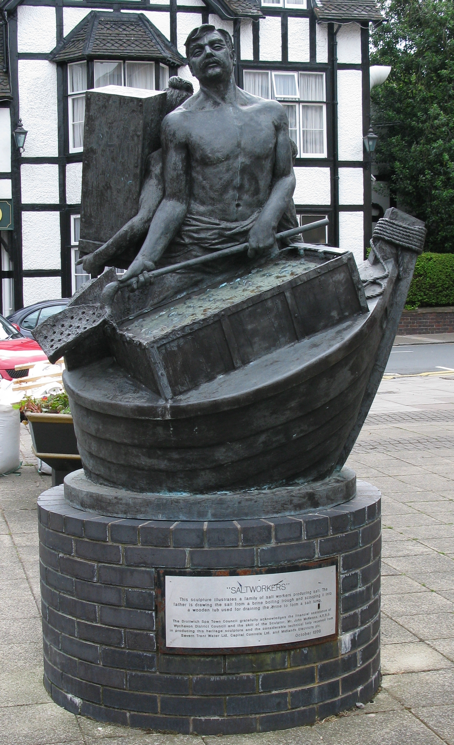
Droitwich Spa (often abbreviated to Droitwich ) is an historic spa town in the Wychavon district in northern Worcestershire, England, on the River Salwarpe. It is located approximately south-west of Birmingham and north-east of Worcester. The town was called Salinae in Roman times, then later called Wyche, derived from the Anglo-Saxon Hwicce kingdom, referred to as "Saltwich" according to Anglo-Saxon charters, with the Droit (meaning "right" in French) added when the town was given its charter on 1 August 1215 by King John. The "Spa" was added in the 19th century when John Corbett developed the town's spa facilities. The River Salwarpe running through Droitwich is likely derived from ''sal'' meaning "salt" and ''weorp'' which means "to throw up" - i.e. "the river which throws up salt" - which overflows from the salt brines. The town is situated on massive deposits of salt, and salt has been extracted there since ancient times. The natural Droitwich brine contains of salt; te ... [...More Info...] [...Related Items...] OR: [Wikipedia] [Google] [Baidu] |

.jpg)


