|
Coalinga, California Earthquake
The 1983 Coalinga earthquake struck at 4:42 p.m. Monday, May 2 of that year, in Coalinga, California. The shock was felt from the Greater Los Angeles Area north to Susanville in Lassen County, and between the Pacific Coast and western Nevada. More than 5,000 aftershocks were recorded through July 31, of which 894 had a magnitude of 2.5 or larger. It measured 6.2 on the moment magnitude scale and had a maximum Mercalli intensity of VIII (''Severe''). Earthquake The Coalinga quake was caused by an 0.5-meter uplift of an anticline ridge northeast of Coalinga, but surface faulting was not observed. Ground and aerial reconnaissance immediately after the quake revealed ground cracks and fissures within about of the epicenter, none of which appeared to represent movement on deeply rooted fault structures. About five weeks later, on June 11, an aftershock caused surface faulting about northwest of Coalinga. Damage The earthquake caused an estimated $10 million in property damage ... [...More Info...] [...Related Items...] OR: [Wikipedia] [Google] [Baidu] |
Blind Thrust Earthquake
A blind thrust earthquake occurs along a thrust fault that does not show signs on the Earth's surface, hence the designation "blind". Such faults, being invisible at the surface, have not been mapped by standard surface geological mapping. Sometimes they are discovered as a by-product of oil exploration seismology; in other cases their existence is not suspected. Although such earthquakes are not amongst the most energetic, they are sometimes the most destructive, as conditions combine to form an urban earthquake which greatly affects urban seismic risk. A blind thrust earthquake is quite close, in meaning, to a buried rupture earthquake, if a buried rupture earthquake is not specifically about the fault, but signs the earthquake leaves, on the Earth's surface. Blind thrust faults Blind thrust faults generally exist near tectonic plate margins, in the broad disturbance zone. They form when a section of the Earth's crust is under high compressive stresses, due to plate margin col ... [...More Info...] [...Related Items...] OR: [Wikipedia] [Google] [Baidu] |
Avenal, California
Avenal (Spanish for "Oat field") is a city in Kings County, California, United States. Avenal is located southwest of Hanford, at an elevation of . It is part of the Hanford–Corcoran Metropolitan Statistical Area (MSA Code 25260), which encompasses all of Kings County. In area, it is the fourth largest city in Kings County. The ZIP Code for this community is 93204, and telephone numbers use the sequence (559) 386-XXXX. The population was 15,505 in the 2010 census, which includes inmates at the Avenal State Prison, the first prison actively solicited by a community in the state of California. Many of the remaining residents largely either work at the prison or in the agriculture industry. The prison provides approximately 1,000 jobs to residents. The California Department of Finance estimated that Avenal's population was 13,496 on July 1, 2019. As of that date, Avenal State Prison held 4,165 inmates, which was about 32% of the total population of Avenal. Inmates are counted ... [...More Info...] [...Related Items...] OR: [Wikipedia] [Google] [Baidu] |
List Of Earthquakes In California
The earliest known California earthquake was documented in 1769 by the Spanish explorers and Catholic missionaries of the Portolá expedition as they traveled northward from San Diego along the Santa Ana River near the present site of Los Angeles. Ship captains and other explorers also documented earthquakes. As Spanish missions in California, Spanish missions were constructed beginning in the late 18th century, earthquakes records were kept. After the missions were Secularization, secularized in 1834, records were sparse until the California Gold Rush in the 1840s. From 1850–2004, there was about one potentially damaging event per year on average, though many of these did not cause serious consequences or loss of life. Since the three damaging earthquakes that occurred in the Midwestern United States, American Midwest and the East Coast of the United States, East Coast (1755 Cape Ann earthquake, 1755 Cape Ann, 1811–1812 New Madrid earthquakes, 1811–12 New Madrid, 1886 Char ... [...More Info...] [...Related Items...] OR: [Wikipedia] [Google] [Baidu] |
List Of Earthquakes In 1983
This is a list of earthquakes in 1983. Only earthquakes of magnitude 6 or above are included, unless they result in damage and/or casualties, or are notable for some other reason. Events in remote areas will not be listed but included in statistics and maps. Countries are entered on the lists in order of their status in this particular year. All dates are listed according to UTC time. Maximum intensities are indicated on the Mercalli intensity scale and are sourced from United States Geological Survey (USGS) ShakeMap data. By death toll Listed are earthquakes with at least 10 dead. By magnitude Listed are earthquakes with at least 7.0 magnitude. By month January February March April May June July August September October References {{Earthquakes by year 1983 1983 earthquakes 1983 The year 1983 saw both the official beginning of the Internet and the first mobile cellular telephone call. Events January * January 1 – The ... [...More Info...] [...Related Items...] OR: [Wikipedia] [Google] [Baidu] |
The New York Times
''The New York Times'' (''the Times'', ''NYT'', or the Gray Lady) is a daily newspaper based in New York City with a worldwide readership reported in 2020 to comprise a declining 840,000 paid print subscribers, and a growing 6 million paid digital subscribers. It also is a producer of popular podcasts such as '' The Daily''. Founded in 1851 by Henry Jarvis Raymond and George Jones, it was initially published by Raymond, Jones & Company. The ''Times'' has won 132 Pulitzer Prizes, the most of any newspaper, and has long been regarded as a national " newspaper of record". For print it is ranked 18th in the world by circulation and 3rd in the U.S. The paper is owned by the New York Times Company, which is publicly traded. It has been governed by the Sulzberger family since 1896, through a dual-class share structure after its shares became publicly traded. A. G. Sulzberger, the paper's publisher and the company's chairman, is the fifth generation of the family to head the pa ... [...More Info...] [...Related Items...] OR: [Wikipedia] [Google] [Baidu] |
The Fresno Bee
''The Fresno Bee'' is a daily newspaper serving Fresno, California, and surrounding counties in that U.S. state's central San Joaquin Valley. It is owned by The McClatchy Company and ranks fourth in circulation among the company's newspapers. It is currently headquartered in the Bitwise 41 building at 2721 Ventura Street. ''The Fresno Bee'' was founded in 1922 by the McClatchy brothers Charles Kenny (C. K.) and Valentine Stuart (V. S.), sons of ''The Sacramento Bee'''s second editor James McClatchy. C. K.'s only son Carlos McClatchy became ''The Fresno Bee'''s first editor. The two Central Valley newspapers, closely linked by family ownership and editorial philosophy, formed the core of what later grew into The McClatchy Company. In 1932, the McClatchys purchased an older Fresno newspaper, ''The Republican''. ''The Fresno Republican'' had been founded in 1876, by Dr. Chester A. Rowell and a group of investors that included inventor and entrepreneur Frank Dusy. In 1932, ''The Fr ... [...More Info...] [...Related Items...] OR: [Wikipedia] [Google] [Baidu] |
Landslide
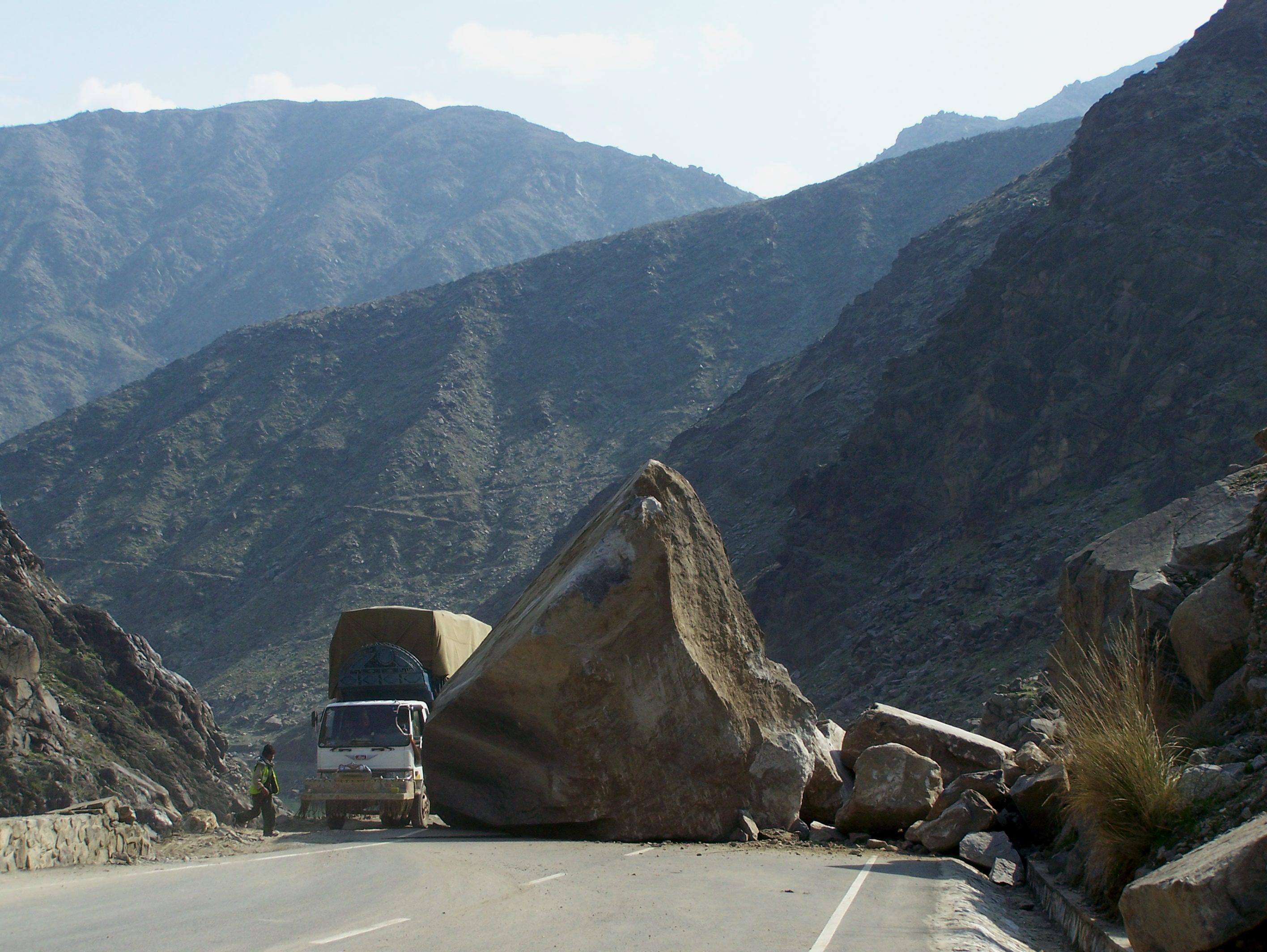
Landslides, also known as landslips, are several forms of mass wasting that may include a wide range of ground movements, such as rockfalls, deep-seated grade (slope), slope failures, mudflows, and debris flows. Landslides occur in a variety of environments, characterized by either steep or gentle slope gradients, from mountain ranges to coastal cliffs or even underwater, in which case they are called submarine landslides. Gravity is the primary driving force for a landslide to occur, but there are other factors affecting slope stability that produce specific conditions that make a slope prone to failure. In many cases, the landslide is triggered by a specific event (such as a heavy rainfall, an earthquake, a slope cut to build a road, and many others), although this is not always identifiable. Causes Landslides occur when the slope (or a portion of it) undergoes some processes that change its condition from stable to unstable. This is essentially due to a decrease in the She ... [...More Info...] [...Related Items...] OR: [Wikipedia] [Google] [Baidu] |
Rock Fall
A rockfall or rock-fallWhittow, John (1984). ''Dictionary of Physical Geography''. London: Penguin, 1984. . is a quantity/sheets of rock that has fallen freely from a cliff face. The term is also used for collapse of rock from roof or walls of mine or quarry workings. "A rockfall is a fragment of rock (a block) detached by sliding, toppling, or falling, that falls along a vertical or sub-vertical cliff, proceeds down slope by bouncing and flying along ballistic trajectories or by rolling on talus or debris slopes." Alternatively, a "rockfall is the natural downward motion of a detached block or series of blocks with a small volume involving free falling, bouncing, rolling, and sliding". The mode of failure differs from that of a rockslide. Causal mechanisms Favourable geology and climate are the principal causal mechanisms of rockfall, factors that include intact condition of the rock mass, discontinuities within the rockmass, weathering susceptibility, ground and surface water, ... [...More Info...] [...Related Items...] OR: [Wikipedia] [Google] [Baidu] |
Casing (borehole)
Casing is a large diameter pipe that is assembled and inserted into a recently drilled section of a borehole. Similar to the bones of a spine protecting the spinal cord, casing is set inside the drilled borehole to protect and support the wellstream. The lower portion (and sometimes the entirety) is typically held in place with cement. Deeper strings usually are not cemented all the way to the surface, so the weight of the pipe must be partially supported by a casing hanger in the wellhead. Casing that is cemented in place aids the drilling process in several ways: * Prevents contamination of fresh water well zones. * Prevents unstable upper formations from caving in and sticking the drill string or forming large caverns. * Provides a strong upper foundation to allow use of high-density drilling fluid to continue drilling deeper. * Isolates various zones, which may have different pressures or fluids, in the drilled formations from one another. * Seals off high pressure zones ... [...More Info...] [...Related Items...] OR: [Wikipedia] [Google] [Baidu] |
Coalinga Oil Field
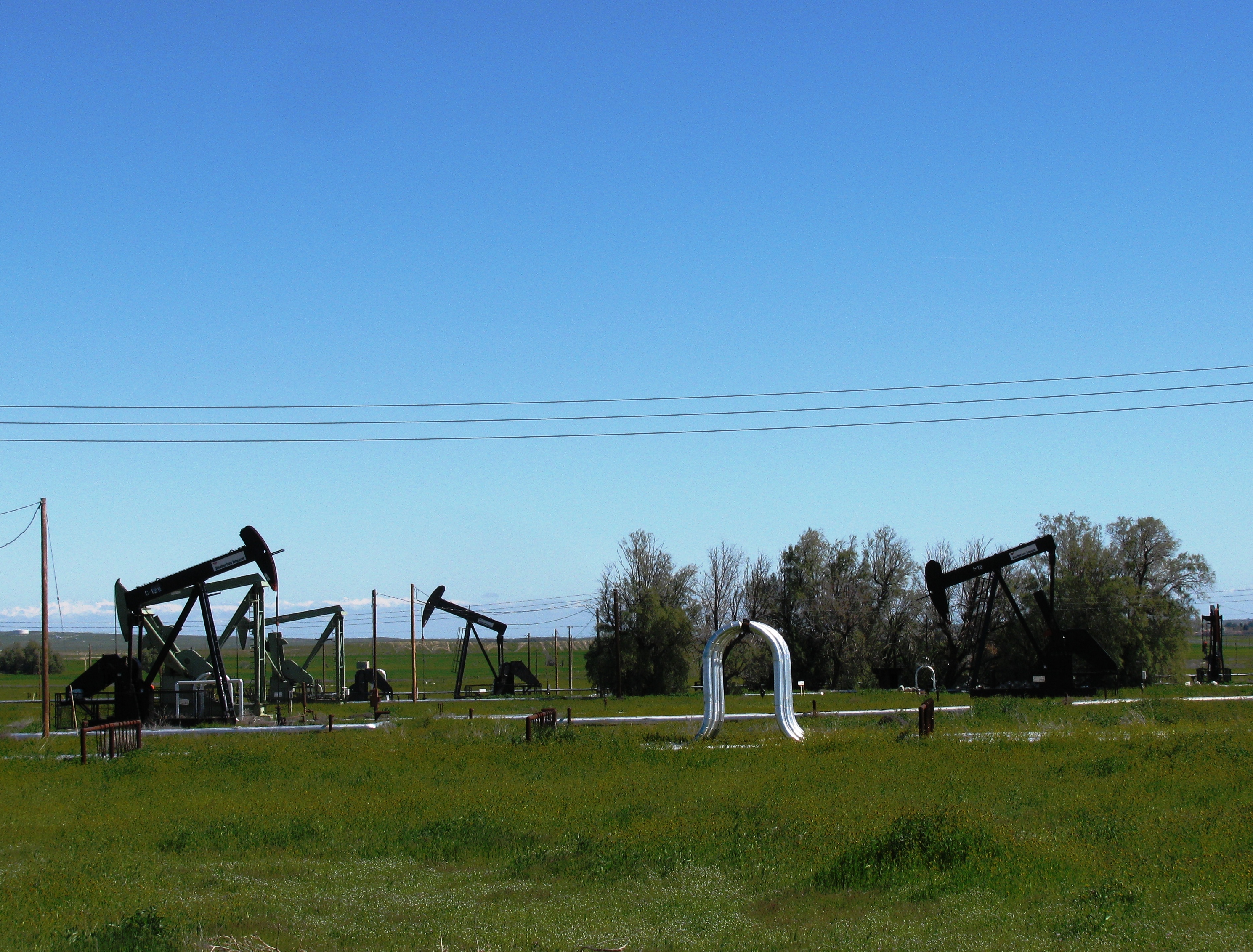
The Coalinga Oil Field is a large oil field in western Fresno County, California, in the United States. It surrounds the town of Coalinga, about halfway between Los Angeles and San Francisco, to the west of Interstate 5, at the foot of the Diablo Range. Discovered in the late 19th century, it became active around 1890, and is now the eighth-largest oil field in California, with reserves totaling approximately , and over 1,600 active oil wells.California Department of Conservation, Oil and Gas Statistics, Annual Report, December 31, 2006 p. 2 The principal operators on the field, as of 2008, were |
Fill Dirt
Fill dirt (also called cleanfill, or just fill) is earthy material which is used to ''fill in'' a depression or hole in the ground or create mounds or otherwise artificially change the grade or elevation of real property. , retrieved on 2008-11-12. Fill dirt is usually (soil from beneath ) and underlying soil which has little |
Parapet
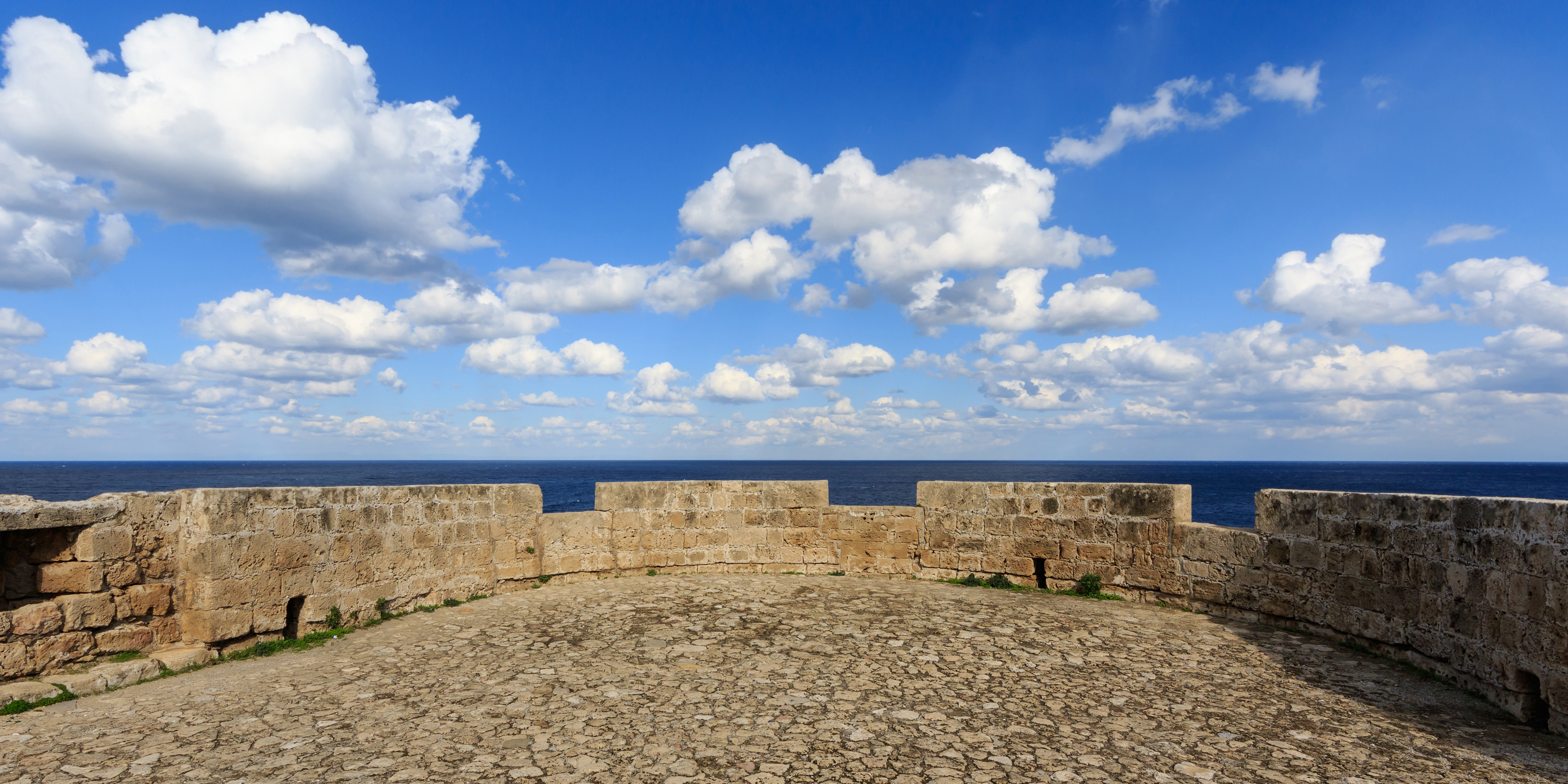
A parapet is a barrier that is an extension of the wall at the edge of a roof, terrace, balcony, walkway or other structure. The word comes ultimately from the Italian ''parapetto'' (''parare'' 'to cover/defend' and ''petto'' 'chest/breast'). Where extending above a roof, a parapet may simply be the portion of an exterior wall that continues above the edge line of the roof surface, or may be a continuation of a vertical feature beneath the roof such as a fire wall or party wall. Parapets were originally used to defend buildings from military attack, but today they are primarily used as guard rails, to conceal rooftop equipment, reduce wind loads on the roof, and to prevent the spread of fires. In the Bible the Hebrews are obligated to build a parapet on the roof of their houses to prevent people falling (Deuteronomy 22:8). Parapet types Parapets may be plain, embattled, perforated or panelled, which are not mutually exclusive terms. *Plain parapets are upward extensions of ... [...More Info...] [...Related Items...] OR: [Wikipedia] [Google] [Baidu] |


.png)


