|
Chickasha
Chickasha is a city in and the county seat of Grady County, Oklahoma, United States. The population was 16,036 at the 2010 census. Chickasha is home to the University of Science and Arts of Oklahoma. The city is named for and strongly connected to Native American heritage, as "Chickasha" (''Chikashsha'') is the Choctaw word for Chickasaw. History Chickasha was founded by Hobart Johnstone Whitley, a land developer, banker, farmer and Rock Island Railroad executive. The founding took place in 1892 when the Chicago, Rock Island and Pacific Railway (Rock Island) built a track through Indian Territory. A post office was established in June 1892. One of the earliest industrial plants to come to Chickasha was the Chickasha Cotton Oil Company, which was established in 1899.Munn, 7 The town incorporated in 1902.Jefferies, Angie. ''Encyclopedia of Oklahoma History and Culture.'' "Chickasha." At the time of its founding, Chickasha was located in Pontotoc County, Chickasaw Nation. In 190 ... [...More Info...] [...Related Items...] OR: [Wikipedia] [Google] [Baidu] |
Grady County, Oklahoma
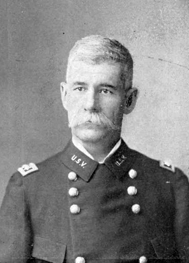
Grady County is a county located in the U.S. state of Oklahoma. As of the 2010 census, the population was 52,431. Its county seat is Chickasha. It was named for Henry W. Grady, an editor of the ''Atlanta Constitution'' and southern orator. O'Dell, Larry. ''Encyclopedia of Oklahoma History and Culture'' - Grady County accessed March 6, 2015 Grady County is part of the , OK . History Grad ...[...More Info...] [...Related Items...] OR: [Wikipedia] [Google] [Baidu] |
Chickasha Municipal Airport
Chickasha Municipal Airport is four miles northwest of Chickasha, in Grady County, Oklahoma. The National Plan of Integrated Airport Systems for 2011–2015 categorized it as a ''general aviation'' facility. Facilities The airport covers 720 acres (291 ha) at an elevation of 1,152 feet (351 m). Its single paved runway, 17/35, is 5,101 by 100 feet (1,555 x 30 m) concrete. It has two turf runways: 18/36 is 2,840 by 145 feet (866 x 44 m) and 2/20 is 2,525 by 100 feet (770 x 30 m). In the year ending November 8, 2010 the airport had 4,000 general aviation aircraft operations, average 10 per day. 36 aircraft were then based at this airport: 80% single-engine, 17% multi-engine, and 3% helicopter. History Opened in October, 1941 as Wilson-Bonifils Field, the airport conducted contract basic flying training for the United States Army Air Forces. The contractor was the Wilson-Bonfils Flying Schools. Flying training was performed with Fairchild PT-19s as the primary trainer. Also ... [...More Info...] [...Related Items...] OR: [Wikipedia] [Google] [Baidu] |
Oklahoma College For Women
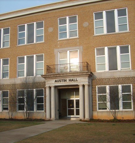
The University of Science and Arts of Oklahoma (USAO) is a public liberal arts college in Chickasha, Oklahoma. It is the only public college in Oklahoma with a strictly liberal arts–focused curriculum and is a member of the Council of Public Liberal Arts Colleges. USAO is an undergraduate-only institution and grants bachelor's degrees in a variety of subject areas. The school was founded in 1908 as a school for women and from 1912 to 1965 was known as Oklahoma College for Women. It became coeducational in 1965 and today educates approximately 800 students. In 2001, the entire Oklahoma College for Women campus was listed as a national historic district., 2001, Accessed January 31, 2015. History After Oklahoma was admitted to statehood in 1907, the new state legislature was tasked with establishing institutions of higher education in the former Indian Territory. Statistics gathered by the State Superintendent of Education showed that many young women from Oklahoma chose to a ... [...More Info...] [...Related Items...] OR: [Wikipedia] [Google] [Baidu] |
University Of Science And Arts Of Oklahoma
The University of Science and Arts of Oklahoma (USAO) is a public liberal arts college in Chickasha, Oklahoma. It is the only public college in Oklahoma with a strictly liberal arts–focused curriculum and is a member of the Council of Public Liberal Arts Colleges. USAO is an undergraduate-only institution and grants bachelor's degrees in a variety of subject areas. The school was founded in 1908 as a school for women and from 1912 to 1965 was known as Oklahoma College for Women. It became coeducational in 1965 and today educates approximately 800 students. In 2001, the entire Oklahoma College for Women campus was listed as a national historic district., 2001, Accessed January 31, 2015. History After Oklahoma was admitted to statehood in 1907, the new state legislature was tasked with establishing institutions of higher education in the former Indian Territory. Statistics gathered by the State Superintendent of Education showed that many young women from Oklahoma chose to at ... [...More Info...] [...Related Items...] OR: [Wikipedia] [Google] [Baidu] |
Interstate 44 In Oklahoma
Interstate 44 (I-44) runs diagonally through the US state of Oklahoma, spanning from the Texas state line near Wichita Falls, Texas, to the Missouri border near Joplin, Missouri. It connects three of Oklahoma's largest cities: Oklahoma City, Tulsa, and Lawton. Most of I-44 in Oklahoma is a toll road. In southwestern Oklahoma, I-44 is the H. E. Bailey Turnpike and follows a north–south direction. From Oklahoma City to Tulsa, I-44 follows the Turner Turnpike. As I-44 leaves Tulsa, it becomes the Will Rogers Turnpike to the Missouri border. In the Lawton, Oklahoma City, and Tulsa metro areas, I-44 is toll-free. I-44 is paralleled by former U.S. Highway 66 (US-66, now mostly State Highway 66 (SH-66)) from Oklahoma City to the Missouri state line. In Oklahoma City, I-44 is also known as the Will Rogers Expressway. Route description I-44 crosses the Red River near Burkburnett, Texas. It is toll-free until exit 5, which is the last free exit before the sta ... [...More Info...] [...Related Items...] OR: [Wikipedia] [Google] [Baidu] |
Blanchard, Oklahoma
Blanchard is a city in McClain and Grady counties in the U.S. state of Oklahoma. The population was 7,670 at the 2010 census, up from 2,816 at the 2000 census. Blanchard is part of a rapidly growing area of northern McClain and Grady counties known as the "Tri-City Area" with Newcastle and Tuttle. History The center of Blanchard is situated in Township 8 North, Range 4 West, Section 30 in northwestern McClain County. Named after William G. "Bill" Blanchard, the community was organized originally by the Canadian Valley Construction Company, which also planned to build a railroad. However, the company went into bankruptcy, and the railroad came under the control of the Oklahoma Central Railroad which also experienced financial problems. The Atchison, Topeka and Santa Fe Railway took over and completed the line. The townsite was established by three lot sales beginning with the Canadian Valley Construction Company sale on September 19, 1906. The second sale was held on July 18, 19 ... [...More Info...] [...Related Items...] OR: [Wikipedia] [Google] [Baidu] |
Area Code 405
Area codes 405 and 572 serve the central part of the U.S. state of Oklahoma. They cover Oklahoma City and most of its suburbs, including Edmond, El Reno, Norman, Stillwater, Shawnee, Chickasha, Tuttle, Moore, and Guthrie. The other three area codes serving Oklahoma are 918 and 539, which cover northeastern Oklahoma (including the city of Tulsa); and 580, which serves western and southern Oklahoma. Area code 405 was one of the original area codes put into service in 1947 by telecom giant AT&T. Until January 1, 1953, it covered the entire state of Oklahoma. On that date, northeastern Oklahoma was assigned area code 918. Even though central Oklahoma was home to the great majority of 405's landlines and cell phones, this configuration remained unchanged for 44 years. On November 1, 1997, 405 was reduced to cover only central Oklahoma, while the southern and western portions of the old 405 became area code 580. As a result, 405 is the only area code in Oklahoma that does not ... [...More Info...] [...Related Items...] OR: [Wikipedia] [Google] [Baidu] |
Lawton, Oklahoma
Lawton is a city in and the county seat of Comanche County, in the U.S. state of Oklahoma Oklahoma (; Choctaw language, Choctaw: ; chr, ᎣᎧᎳᎰᎹ, ''Okalahoma'' ) is a U.S. state, state in the South Central United States, South Central region of the United States, bordered by Texas on the south and west, Kansas on the nor .... Located in southwestern Oklahoma, approximately southwest of Oklahoma City, it is the principal city of the Lawton metropolitan area, Lawton, Oklahoma, metropolitan statistical area. According to the 2020 United States Census, 2020 census, Lawton's population was 90,381, making it the sixth-largest city in the state, and the largest in Western Oklahoma. Developed on former Indian reservation, reservation lands of the Kiowa, Comanche, and Fort Sill Apache Tribe, Apache Indians, Lawton was founded by European Americans on 6 August 1901. It was named after Major General Henry Ware Lawton, who served in the Civil War, where he earned the M ... [...More Info...] [...Related Items...] OR: [Wikipedia] [Google] [Baidu] |
List Of Counties In Oklahoma
The U.S. state of Oklahoma has 77 counties. It is ranked 20th in size and 17th in the number of counties, between Mississippi with 82 counties and Arkansas with 75 counties. Oklahoma originally had seven counties (Logan, Cleveland, Oklahoma, Canadian, Kingfisher, Payne, and Beaver) when it was first organized as the Oklahoma Territory. These counties were designated numerically, first through seventh. New counties added after this were designated by letters of the alphabet. The first seven counties were later renamed. The Oklahoma Constitutional Convention named all of the counties that were formed when Oklahoma entered statehood in 1907. Only two counties have been formed since then. Upon statehood, all Oklahoma counties allowed civil townships within their counties. A few years after statehood, a constitutional amendment allowed them to be abolished on a county-by-county basis, and by the mid-1930s, all Oklahoma counties had voted to do so. According to the Oklahoma Constitut ... [...More Info...] [...Related Items...] OR: [Wikipedia] [Google] [Baidu] |
Chickasaw
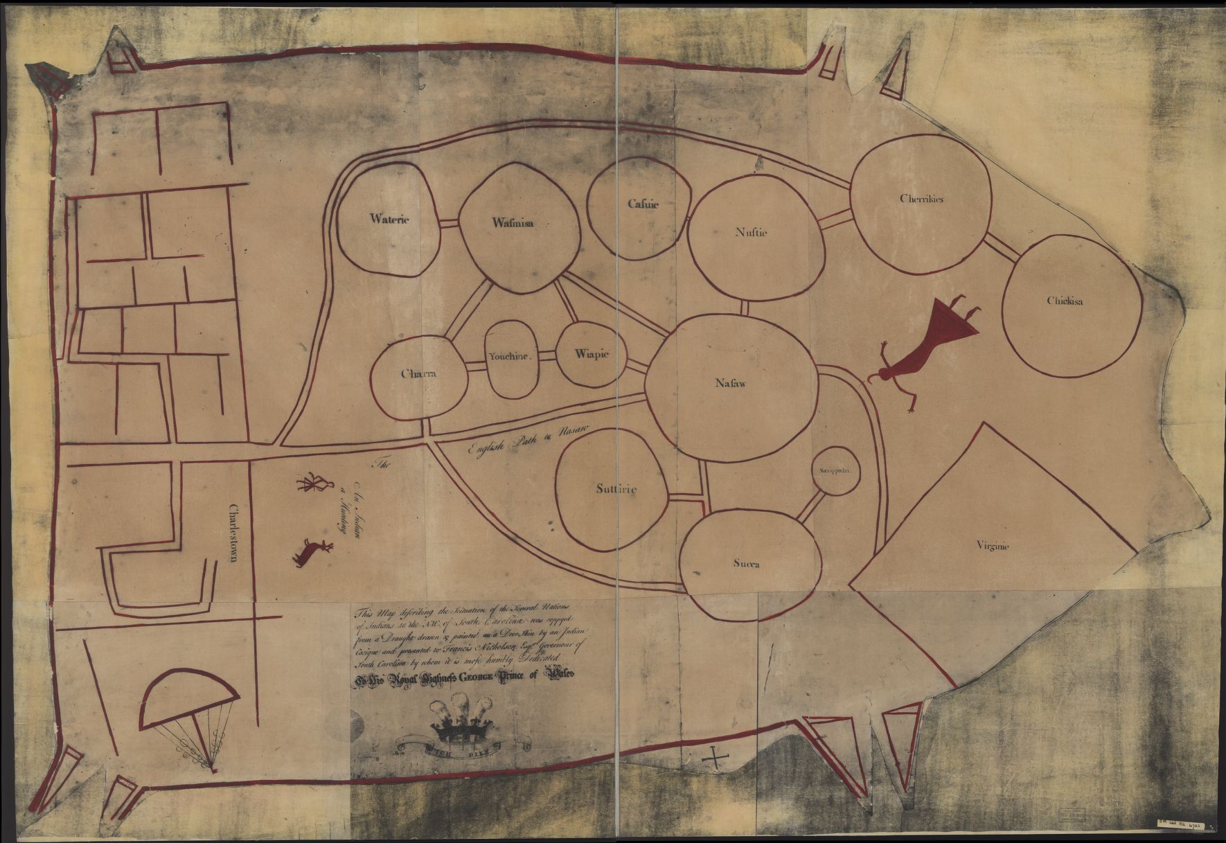
The Chickasaw ( ) are an indigenous people of the Southeastern Woodlands. Their traditional territory was in the Southeastern United States of Mississippi, Alabama, and Tennessee as well in southwestern Kentucky. Their language is classified as a member of the Muskogean language family. In the present day, they are organized as the Federally recognized tribe, federally recognized Chickasaw Nation. Chickasaw people have a migration story in which they moved from a land west of the Mississippi River, where they settled mostly in present-day northeast Mississippi, northwest Alabama, and into Lawrence County, Tennessee. They had interaction with French, English, and Spanish colonists during the Colonial history of the United States, colonial period. The United States considered the Chickasaw one of the Five Civilized Tribes of the Southeast, as they adopted numerous practices of European Americans. Resisting European-American settlers encroaching on their territory, they were force ... [...More Info...] [...Related Items...] OR: [Wikipedia] [Google] [Baidu] |
Indian Territory
The Indian Territory and the Indian Territories are terms that generally described an evolving land area set aside by the Federal government of the United States, United States Government for the relocation of Native Americans in the United States, Native Americans who held aboriginal title to their land as a sovereign independent state. In general, the tribes ceded land they occupied in exchange for Land grant#United States, land grants in 1803. The concept of an Indian Territory was an outcome of the US federal government's 18th- and 19th-century policy of Indian removal. After the Indian Territory in the American Civil War, American Civil War (1861–1865), the policy of the US government was one of Cultural assimilation of Native Americans#Americanization and assimilation (1857–1920), assimilation. The term ''Indian Reserve (1763), Indian Reserve'' describes lands the Kingdom of Great Britain, British set aside for Indigenous tribes between the Appalachian Mountains and t ... [...More Info...] [...Related Items...] OR: [Wikipedia] [Google] [Baidu] |
Anadarko, Oklahoma
Anadarko is a city in Caddo County, Oklahoma, United States. The city is fifty miles southwest of Oklahoma City. The population was 5,745 at the 2020 census. It is the county seat of Caddo County. History Anadarko got its name when its post office was established in 1873. The designation came from the Nadaco Native Americans, a branch of the Caddo Nation, and the "A" was added due to a clerical error.Carolyn Riffel and Betty Bell, "Anadarko." ''Encyclopedia of Oklahoma History and Culture''. Accessed April 17, 2015. In 1871, the Wichita Agency was reestablished on the north bank of the after bein ... [...More Info...] [...Related Items...] OR: [Wikipedia] [Google] [Baidu] |


