|
Charlton, Worcestershire
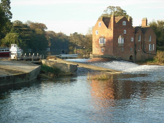
Charlton is a village in the Wychavon district of the county of Worcestershire, England. During the 2007 United Kingdom floods, many homes were affected for the second time in a decade. Charlton lies between the River Avon and Bredon Hill. Evesham is 3 miles to the east, and Pershore 5 miles to the west, but its postal address is Pershore rather than Evesham. Fladbury and Cropthorne are its neighbouring villages, both within a mile Fladbury is just over the River Avon and Cropthorne up the hill. Manor In 1240 William de Handsacre held Charlton Manor and in 1267–8 he was accused of carrying off the goods of Thomas de Arderne from this manor (presumably Arderne was a tenant). William did not appear to answer the plea, and the sheriff was commanded to take all his lands and tenements into the king's hands. William had evidently fallen under the king's displeasure before this time, for in 1266 he was granted a safe conduct coming to the king's court to stand his trial. Howev ... [...More Info...] [...Related Items...] OR: [Wikipedia] [Google] [Baidu] |
Wychavon
Wychavon is a local government district in Worcestershire, England, with a population size of 132,500 according to the 2021 census. Its council is based in the town of Pershore, and the other towns in the district are Droitwich Spa and Evesham. The district extends from the southeast corner of Worcestershire north and west. It borders all the other districts of Worcestershire, as well as the counties of Gloucestershire and Warwickshire. The district was created under the Local Government Act 1972, on 1 April 1974. It was a merger of the boroughs of Droitwich and Evesham along with Evesham Rural District and most of Droitwich Rural District and most of Pershore Rural District. The district's name, which was invented in 1973, contains two elements. "Wych" recalls the Saxon Kingdom of Hwicca, and "Avon" is for the River Avon. Wychavon District Council was a joint 'Council of the Year 2007', along with High Peak Borough Council. It was also featured as the 'Best Council to work ... [...More Info...] [...Related Items...] OR: [Wikipedia] [Google] [Baidu] |
Worcestershire
Worcestershire ( , ; written abbreviation: Worcs) is a county in the West Midlands of England. The area that is now Worcestershire was absorbed into the unified Kingdom of England in 927, at which time it was constituted as a county (see History of Worcestershire). Over the centuries the county borders have been modified, but it was not until 1844 that substantial changes were made. Worcestershire was abolished as part of local government reforms in 1974, with its northern area becoming part of the West Midlands and the rest part of the county of Hereford and Worcester. In 1998 the county of Hereford and Worcester was abolished and Worcestershire was reconstituted, again without the West Midlands area. Location The county borders Herefordshire to the west, Shropshire to the north-west, Staffordshire only just to the north, West Midlands to the north and north-east, Warwickshire to the east and Gloucestershire to the south. The western border with Herefordshire includes a ... [...More Info...] [...Related Items...] OR: [Wikipedia] [Google] [Baidu] |
Mid Worcestershire
Mid Worcestershire is a constituency represented in the House of Commons of the UK Parliament since 2015 by Nigel Huddleston, a Conservative. Members of Parliament Constituency profile Income levels are on average considerably higher than the national average and levels of rented and social housing are below the national average, particularly levels seen in cities. The constituency, which has 72,317 people aged 18 and over according to the 2001 census, plus 39,645 households includes the towns of Droitwich Spa and Evesham and the many semi-rural villages around the cathedral city of Worcester, sits across an undulating part of the West Midlands with good access to its central commercial, service sector and industrial areas. Boundaries The present Mid Worcestershire constituency, has existed almost intact since 1997, covers central and south-eastern parts of the county of Worcestershire. It covers most of the Wychavon district, including Broadway, Droitwich and Evesham, ... [...More Info...] [...Related Items...] OR: [Wikipedia] [Google] [Baidu] |
2007 United Kingdom Floods
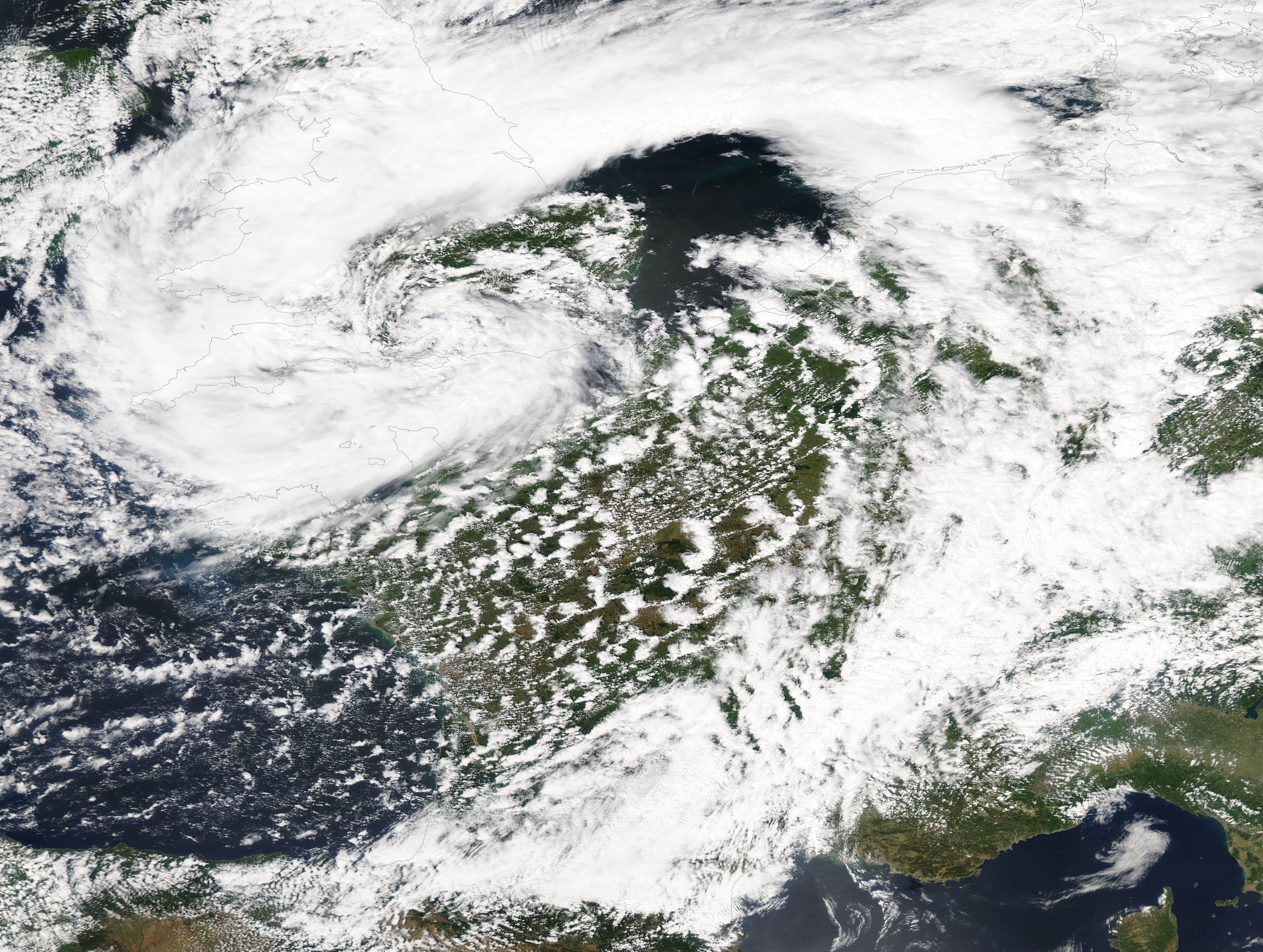
A series of large floods occurred in parts of the United Kingdom during the summer of 2007. The worst of the flooding occurred across Scotland on 14 June; East Yorkshire and the Midlands on 15 June; Yorkshire, the Midlands, Gloucestershire, Herefordshire and Worcestershire on 25 June; and Gloucestershire, Herefordshire, Worcestershire, Oxfordshire, Berkshire and South Wales on 28 July 2007. June was one of the wettest months on record in Britain (see List of weather records). Average rainfall across the country was ; more than double the June average. Some areas received a month's worth of precipitation in 24 hours. It was Britain's wettest May–July period since records began in 1776. July had unusually unsettled weather and above-average rainfall through the month, peaking on 20 July as an active frontal system dumped more than of rain in southern England. Civil and military authorities described the June and July rescue efforts as the biggest in peacetime Britain. The Envi ... [...More Info...] [...Related Items...] OR: [Wikipedia] [Google] [Baidu] |
Evesham
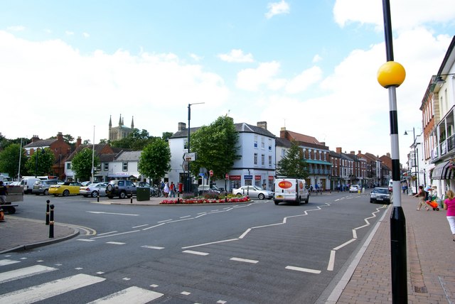
Evesham () is a market town and parish in the Wychavon district of Worcestershire, in the West Midlands region of England. It is located roughly equidistant between Worcester, Cheltenham and Stratford-upon-Avon. It lies within the Vale of Evesham, an area comprising the flood plain of the River Avon, which has been renowned for market gardening. The town centre, situated within a meander of the river, is subjected regularly to flooding. The 2007 floods were the most severe in recorded history. The town was founded around an 8th-century abbey, one of the largest in Europe, which was destroyed during the Dissolution of the Monasteries, with only Abbot Lichfield's Bell Tower remaining. During the 13th century, one of the two main battles of England's Second Barons' War took place near the town, marking the victory of Prince Edward, who later became King Edward I; this was the Battle of Evesham. History Evesham is derived from the Old English ''homme'' or ''ham'', and ''Eof'' ... [...More Info...] [...Related Items...] OR: [Wikipedia] [Google] [Baidu] |
Pershore
Pershore is a market town in the Wychavon district in Worcestershire, England, on the banks of the River Avon. The town is part of the West Worcestershire parliamentary constituency. At the 2011 census, the population was 7,125. The town is best known for Pershore Abbey, Pershore College (now a campus of Warwickshire College) and plums grown locally. Pershore is situated on the River Avon, west of Evesham and east of Upton-upon-Severn in the Vale of Evesham, a district rich in fruit and vegetable production. History The town contains much elegant Georgian architecture. In 1964 the Council for British Archaeology included Pershore in its list of 51 British "Gem Towns" worthy of special consideration for historic preservation, and it has been listed as an outstanding conservation area. Parts of the abbey, which stand in an expanse of public grassland close to the centre of the town, date from the 11th century. The current structure is far smaller than the original build ... [...More Info...] [...Related Items...] OR: [Wikipedia] [Google] [Baidu] |
Fladbury
Fladbury is a traditional English village located in rural Worcestershire, England. The village was mentioned in the Domesday Book, almost 1,000 years ago. It is sited on the banks of the River Avon, with many interesting and original buildings and features. Cropthorne village is on the opposite bank of the Avon. The two ancient communities are linked by the Jubilee Bridge. History A Beaker settlement was discovered in the centre of Fladbury during excavations into Saxon occupation. Excavations of the Beaker site took place from 1932 to 1941. Landmarks The church of St John the Baptist in Fladbury is located in the village centre. It has been a site of Christian worship since monks settled here in 691AD when Ethelred, King of Mercia, made a grant of land to Oftfor the then Bishop of Worcester. The monks later moved on to found the monastery that became Evesham Abbey. No trace of the early Saxon building remains, and the present building dates from the 12th century, ... [...More Info...] [...Related Items...] OR: [Wikipedia] [Google] [Baidu] |
Cropthorne
Cropthorne is a village and civil parish in Worcestershire, England within the Vale of Evesham, and on the North-west edge of the Cotswolds. It is approximately southeast of Worcester, north of Cheltenham, and southwest of Stratford-upon-Avon. Cropthorne has a population of 603, in 237 households (2001 census). Located on a small ridge overlooking the River Avon, its ancient orchards sweep down to the river and offer clear, unbroken views across the vale to the Malvern Hills in the distance. It is featured in the Domesday Book, and St Michael's Church dates back to the 12th century. The church is a Grade I listed building. The village has many unique examples of timber-framed thatched cottages from the 16th and 17th centuries, and about half the village is designated as a Conservation area. The village has a Site of Special Scientific Interest, Cropthorne New Inn Section. Cropthorne has a primary school that serves Cropthorne and the neighbouring village of Charlton. I ... [...More Info...] [...Related Items...] OR: [Wikipedia] [Google] [Baidu] |
River Avon, Warwickshire
The River Avon () in central England flows generally southwestwards and is a major left-bank tributary of the River Severn, of which it is the easternmost. It is also known as the Warwickshire Avon or Shakespeare's Avon, to distinguish it from several other rivers of the same name in the United Kingdom. Beginning in Northamptonshire, the river flows through or adjoining the counties of Leicestershire, Northamptonshire, Warwickshire, Worcestershire and Gloucestershire, near the Cotswold Hills area. Notable towns it flows through include Rugby, Warwick, Stratford-upon-Avon, Evesham, Pershore and Tewkesbury, where it joins the Severn. It has traditionally been divided since 1719 into the Lower Avon, below Evesham, and the Upper Avon, from Evesham to above Stratford-upon-Avon. Improvements to aid navigation began in 1635, and a series of locks and weirs made it possible to reach Stratford, and to within of Warwick. The Upper Avon was tortuous and prone to flooding, and was ab ... [...More Info...] [...Related Items...] OR: [Wikipedia] [Google] [Baidu] |
Worcester, England
Worcester ( ) is a cathedral city in Worcestershire, England, of which it is the county town. It is south-west of Birmingham, north-west of London, north of Gloucester and north-east of Hereford. The population was 103,872 in the 2021 Census. The River Severn flanks the western side of the city centre. It is overlooked by Worcester Cathedral. Worcester is the home of Royal Worcester, Royal Worcester Porcelain, composer Edward Elgar, Lea & Perrins, makers of traditional Worcestershire sauce, the University of Worcester, and ''Berrow's Worcester Journal'', claimed as the world's oldest newspaper. The Battle of Worcester in 1651 was the final battle of the English Civil War, during which Oliver Cromwell's New Model Army defeated Charles II of England, King Charles II's Cavalier, Royalists. History Early history The trade route past Worcester, later part of the Roman roads in Britain, Roman Ryknild Street, dates from Neolithic times. It commanded a ford crossing over the Rive ... [...More Info...] [...Related Items...] OR: [Wikipedia] [Google] [Baidu] |
Prince Henry's High School
Prince Henry's High School, formerly Prince Henry's Grammar School is an upper school with academy status in Evesham, Worcestershire, England. It is a co-educational high school, in which there are about 1,280 students enrolled, aged between 13 and 18. It is situated in the north of Evesham off the A4184, near the junction with the B4624, adjacent to the north of the railway, and serves the town of Evesham and surrounding villages. A 2013 Ofsted report accorded the school a Grade 1 (outstanding)2013 Ofsted Report. Retrieved 3 April 2019 History The school is over 600 years old and was originally established as a school for the poor that was attached to Evesham's Benedictine Abbey. The original school was located ...[...More Info...] [...Related Items...] OR: [Wikipedia] [Google] [Baidu] |
.jpg)


