|
Chanvar
Chanvar fields encompass single plot of 96,000 bhigas of cultivable land without any houses on it. It is part of Gangetic flood plains of Mirzapur district in Uttar Pradesh. (''Bhiga'' means ''wet'' or ''wetted''; 1 bhiga = 100 square rods, 3025 square yards or 0.2529 hectares; 96,000 bhigas accordingly encompasses 60,000 acres.) See also * Cartography of India * Great Trigonometric Survey * Nibi Gaharwar Nibi Gaharwar is a village in the Mirzapur district of India. The Ganges flows on one side of the village, with Chanvar fields on the other. Agriculture is an important part of the local economy An economy is an area of the production, dis ... References External links Harvesting at Nibi Gaharwar Chanvar Fields Villages in Mirzapur district {{Mirzapur-geo-stub ... [...More Info...] [...Related Items...] OR: [Wikipedia] [Google] [Baidu] |
Nibi Gaharwar
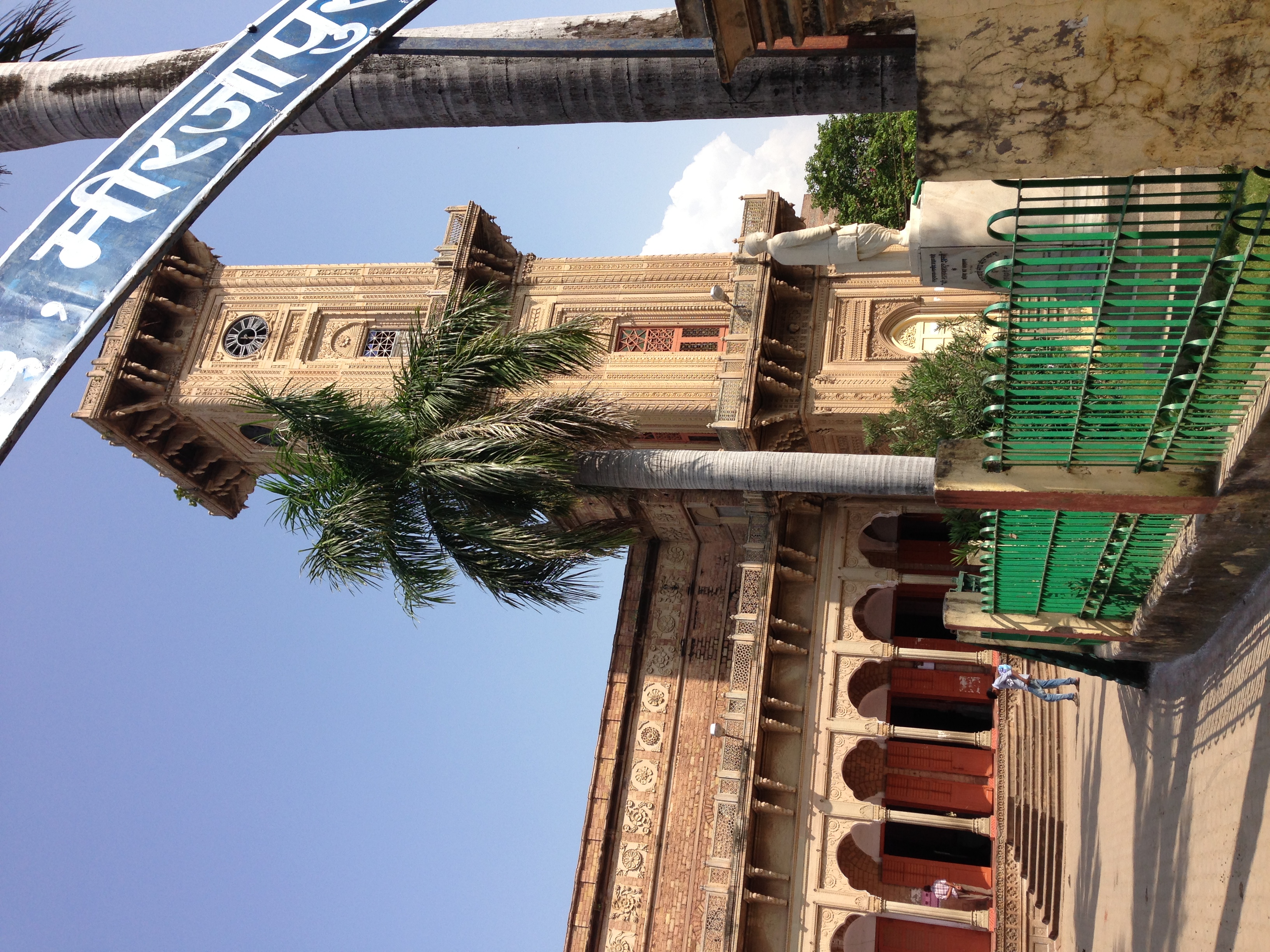
Nibi Gaharwar is a village in the Mirzapur district of India. The Ganges flows on one side of the village, with Chanvar fields on the other. Agriculture is an important part of the local economy An economy is an area of the production, distribution and trade, as well as consumption of goods and services. In general, it is defined as a social domain that emphasize the practices, discourses, and material expressions associated with the .... It is inhabited mainly by Gaharwar Rajputs. It is 33 km from Mirzapur town, and 60 km from Allahabad. The nearest railhead is Gaipura, located on the Delhi Howrah main section. However, few trains halt at Gaipura (Station Code GAE) making Mirzapur (Station Code MZP) a more used rail head. The nearest airports are at Babatpur, Varanasi or Bamrauli airport, Allahabad. The village itself is located on the main stretch of Ganges between Allahabad and Varanasi. Vindhayachal, well known for its Vindhayavasini temple, is a Shakti peeth ... [...More Info...] [...Related Items...] OR: [Wikipedia] [Google] [Baidu] |
Mirzapur
Mirzapur () is a city in Uttar Pradesh, India, 827 km from Delhi and 733 km from Kolkata, almost 91 km from Prayagraj (formally known as Allahabad) and 61 km from Varanasi. It is known for its carpets and brassware industries, and the folk tradition of ''kajri'' and ''birha'' music. The city is surrounded by several hills of the Maikal range and is the headquarters of Mirzapur district. It is a famous pilgrimage destination for the holy and sacred shrine of Maa Vindhyavasini (Vidhya Mountains) Vindhyachal, ''Ashtbhuja'', ''Kali Khoh'' and ''Devrahwa Baba Ashram''. The district has several waterfalls and natural spots because of its topography. Geography Mirzapur is located at . It has an average elevation of 80 metres (265 feet). The District of Mirzapur lies between the parallels of 23.52 & 25.32 North latitude and 82.7 and 83.33 East longitude. It forms a portion of the Varanasi district. On the north and north-east it is bounded by the Varanasi district; on the south b ... [...More Info...] [...Related Items...] OR: [Wikipedia] [Google] [Baidu] |
Rod (unit)
The rod, perch, or pole (sometimes also lug) is a surveyor's tool and unit of length of various historical definitions, often between approximately 3 and 8 meters (9 ft 10 in and 26 ft 2 in). In modern US customary units it is defined as US survey feet, equal to exactly of a surveyor's mile, or a quarter of a surveyor's chain ( yards), and is approximately 5.0292 meters. The rod is useful as a unit of length because whole number multiples of it can form one acre of square measure (area). The 'perfect acre' is a rectangular area of 43,560 square feet, bounded by sides 660 feet (a furlong) long and 66 feet wide (220 yards by 22 yards) or, equivalently, 40 rods and 4 rods. An acre is therefore 160 square rods or 10 square chains. The name ''perch'' derives from the Ancient Roman unit, the ''pertica''. The measure also has a relationship with the military pike of about the same size. Both measures date from the sixteenth century, when the pike was still ... [...More Info...] [...Related Items...] OR: [Wikipedia] [Google] [Baidu] |
Yard (unit)
The yard (symbol: yd) is an English unit of length in both the British imperial and US customary systems of measurement equalling 3 feet or 36 inches. Since 1959 it has been by international agreement standardized as exactly 0.9144 meter. A distance of 1,760 yards is equal to 1 mile. The US survey yard is very slightly longer. Name The term, ''yard'' derives from the Old English , etc., which was used for branches, staves and measuring rods. It is first attested in the late 7th century laws of Ine of Wessex, where the "yard of land" mentioned is the yardland, an old English unit of tax assessment equal to hide. Around the same time the Lindisfarne Gospels account of the messengers from John the Baptist in the Gospel of Matthew used it for a branch swayed by the wind. In addition to the yardland, Old and Middle English both used their forms of "yard" to denote the surveying lengths of or , used in computing acres, a distance now usually ... [...More Info...] [...Related Items...] OR: [Wikipedia] [Google] [Baidu] |
Hectare
The hectare (; SI symbol: ha) is a non-SI metric unit of area equal to a square with 100-metre sides (1 hm2), or 10,000 m2, and is primarily used in the measurement of land. There are 100 hectares in one square kilometre. An acre is about and one hectare contains about . In 1795, when the metric system was introduced, the ''are'' was defined as 100 square metres, or one square decametre, and the hectare ("hecto-" + "are") was thus 100 ''ares'' or km2 (10,000 square metres). When the metric system was further rationalised in 1960, resulting in the International System of Units (), the ''are'' was not included as a recognised unit. The hectare, however, remains as a non-SI unit accepted for use with the SI and whose use is "expected to continue indefinitely". Though the dekare/decare daa (1,000 m2) and are (100 m2) are not officially "accepted for use", they are still used in some contexts. Description The hectare (), although not a unit of SI, i ... [...More Info...] [...Related Items...] OR: [Wikipedia] [Google] [Baidu] |
Acre
The acre is a unit of land area used in the imperial Imperial is that which relates to an empire, emperor, or imperialism. Imperial or The Imperial may also refer to: Places United States * Imperial, California * Imperial, Missouri * Imperial, Nebraska * Imperial, Pennsylvania * Imperial, Texa ... and United States customary units#Units of area, US customary systems. It is traditionally defined as the area of one Chain (unit), chain by one furlong (66 by 660 feet), which is exactly equal to 10 square chains, of a square mile, 4,840 square yards, or 43,560 square feet, and approximately 4,047 m2, or about 40% of a hectare. Based upon the International yard and pound, international yard and pound agreement of 1959, an acre may be declared as exactly 4,046.8564224 square metres. The acre is sometimes abbreviated ac but is usually spelled out as the word "acre".National Institute of Standards and Technolog(n.d.) General Tables of Units of Measurement . Traditionally, i ... [...More Info...] [...Related Items...] OR: [Wikipedia] [Google] [Baidu] |
Cartography Of India
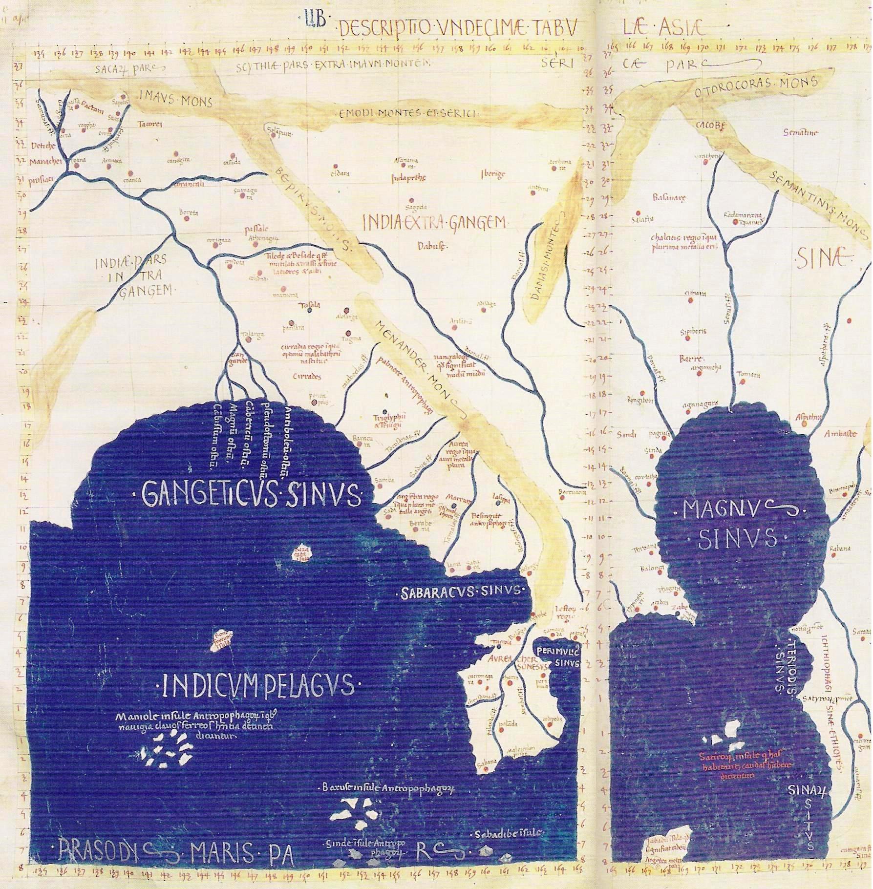
The cartography of India begins with early charts for navigation and constructional plans for buildings.Gole (1990) Indian traditions influenced TibetanSircar, 329 and Islamic traditions,Pinto (2006) and in turn, were influenced by the British cartographers who solidified modern concepts into India's map making.Fuechsel (2008) A prominent foreign geographer and cartographer was Hellenistic geographer Ptolemy (90–168) who researched at the library in Alexandria to produce a detailed eight-volume record of world geography. During the Middle Ages, India sees some exploration by Chinese and Muslim geographers, while European maps of India remain very sketchy. A prominent medieval cartographer was Persian geographer Abu Rayhan Biruni (973–1048) who visited India and studied the country's geography extensively. European maps become more accurate with the Age of Exploration and Portuguese India from the 16th century. The first modern maps were produced by Survey of India, establi ... [...More Info...] [...Related Items...] OR: [Wikipedia] [Google] [Baidu] |
Great Trigonometric Survey
The Great Trigonometrical Survey was a project that aimed to survey the entire Indian subcontinent with scientific precision. It was begun in 1802 by the British infantry officer William Lambton, under the auspices of the East India Company.Gill, B. (2001); "THE BIG MAN. Surveying Sir George Everest", in: ''Professional Surveyor Magazine'', Vol. 21 Nr 2. Retrieveonline 8 March 2016. Under the leadership of his successor, George Everest, the project was made the responsibility of the Survey of India. Everest was succeeded by Andrew Scott Waugh, and after 1861, the project was led by James Walker, who oversaw its completion in 1871. Among the many accomplishments of the Survey were the demarcation of the British territories in India and the measurement of the height of the Himalayan giants: Everest, K2, and Kanchenjunga. The Survey had an enormous scientific impact as well, being responsible for one of the first accurate measurements of a section of an arc of longitude, and f ... [...More Info...] [...Related Items...] OR: [Wikipedia] [Google] [Baidu] |


