|
Century, Florida
Century is a town in Escambia County, Florida, United States. Per the 2020 census, the population was 1,713. It is part of the Pensacola– Ferry Pass– Brent Metropolitan Statistical Area. History Century was founded in 1901 as a sawmill company town, and named because 1901 was the first year of the 20th century. A post office has been in operation at Century since 1901. On February 15, 2016, the town was hit by an EF3 tornado, heavily damaging and destroying homes, and injuring three people. Geography Century is located at (30.977648, –87.261500). According to the United States Census Bureau, the town has a total area of , of which is land and , or 3.69%, is water. Century is located in the western highlands of Florida. This physiographic province of the northern Gulf Coast region is made up of sand, silt, and clay hills. These highlands are deeply incised by creeks and rivers. Century is located on the western edge of the Escambia River floodplain. A small por ... [...More Info...] [...Related Items...] OR: [Wikipedia] [Google] [Baidu] |
Town
A town is a human settlement. Towns are generally larger than villages and smaller than cities, though the criteria to distinguish between them vary considerably in different parts of the world. Origin and use The word "town" shares an origin with the German word , the Dutch word , and the Old Norse . The original Proto-Germanic word, *''tūnan'', is thought to be an early borrowing from Proto-Celtic *''dūnom'' (cf. Old Irish , Welsh ). The original sense of the word in both Germanic and Celtic was that of a fortress or an enclosure. Cognates of ''town'' in many modern Germanic languages designate a fence or a hedge. In English and Dutch, the meaning of the word took on the sense of the space which these fences enclosed, and through which a track must run. In England, a town was a small community that could not afford or was not allowed to build walls or other larger fortifications, and built a palisade or stockade instead. In the Netherlands, this space was a garden, mor ... [...More Info...] [...Related Items...] OR: [Wikipedia] [Google] [Baidu] |
Brent, Florida
Brent is a census-designated place (CDP) in Escambia County, Florida, United States. The population was 21,804 at the 2010 census. It is a principal city of the Pensacola-Ferry Pass-Brent Metropolitan Statistical Area. The community is named after Francis Celestino Brent, who played an integral role in the development of Pensacola. Geography Brent is located at (30.470496, -87.249127), or northwest of Pensacola. The elevation is above sea level. According to the United States Census Bureau, the CDP has a total area of , of which is land and , or 1.58%, is water. The boundaries of the CDP include Fairfield Drive to the south, the city of Pensacola to the west, Interstate 10 ( Ensley) to the north, and Bellview to the east. Demographics As of the census of 2000, there were 22,257 people, 7,008 households, and 4,800 families residing in the CDP. The population density was . There were 7,796 housing units at an average density of . The racial makeup of the CDP was 32.25 ... [...More Info...] [...Related Items...] OR: [Wikipedia] [Google] [Baidu] |
Florida State Road 4
State Road 4 (SR 4) is a two-lane state highway in Escambia, Santa Rosa, and Okaloosa counties in the western corner of the Florida Panhandle. It is signed east–west, but the road is slightly diagonal. The road runs from Century near the Alabama state line at an intersection with U.S. Highway 29 (US 29), to the farming community of Milligan at an intersection with US 90. The road cuts through the Blackwater River State Forest. It crosses the Escambia River, West Fork Big Coldwater Creek, Juniper Creek, Manning Creek, East Fork Big Coldwater Creek, Cedar Creek, Beaver Creek, the Blackwater River, and Penny Creek, all part of the Blackwater River basin (except for the Escambia River). Route description SR 4 heads slightly southeast from its western terminus at US 29 and SR 95 in Century in Escambia County, just south of the border with Alabama, and crosses the Escambia River into Santa Rosa County less than into its journey. The road then turns and runs ... [...More Info...] [...Related Items...] OR: [Wikipedia] [Google] [Baidu] |
Perdido Key, Florida
Perdido Key is an unincorporated community in Escambia County, Florida, United States, between Pensacola, Florida and Orange Beach, Alabama. "Perdido" means "lost" in the Spanish and Portuguese languages. The community is located on and named for Perdido Key, a barrier island in northwest Florida and southeast Alabama. The Florida district of the Gulf Islands National Seashore includes the east end of the island, as well as other Florida islands. No more than a few hundred yards wide in most places, Perdido Key stretches some from near Pensacola to Perdido Pass Bridge near Orange Beach. History From the beginning of the 17th century, Spanish and French explorers, imagining riches in the New World, began colonizing the northern coast of the Gulf of Mexico. A Spanish expedition from Vera Cruz, Mexico had settled on what became known as Santa Rosa Island on Panzacola Bay, named after the indigenous people, later known as the Pensacola Indians. Panzacola means "the village of hair ... [...More Info...] [...Related Items...] OR: [Wikipedia] [Google] [Baidu] |
Pensacola Beach, Florida
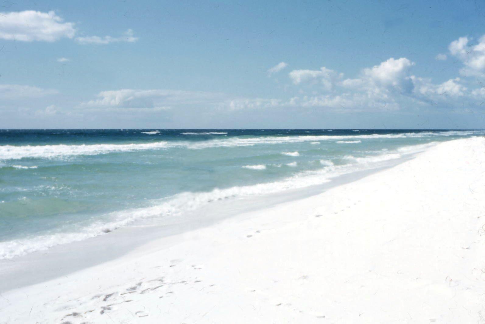
Pensacola Beach is an unincorporated community located on Santa Rosa Island, a barrier island, in Escambia County, Florida, United States. It is situated south of Pensacola (and Gulf Breeze connected via bridges spanning to the Fairpoint Peninsula and then to the island) in the Gulf of Mexico. As of the 2000 census, the community had a total population of 2,738. It has been described as "famous" for its ultra-white sand beaches. Pensacola Beach occupies land bound by a 1947 deed from the United States Department of Interior that it be administered in the public interest by the county or leased, but never "disposed"; its businesses and residents are thus long-term leaseholders and not property owners. Pensacola Beach is part of the Pensacola– Ferry Pass– Brent Metropolitan Statistical Area, which includes all of Escambia and Santa Rosa counties. History : ''Also see: History of Pensacola, Florida.'' Francisco Maldonado, a lieutenant"The Spanish Presence in Northwest F ... [...More Info...] [...Related Items...] OR: [Wikipedia] [Google] [Baidu] |
Atlanta
Atlanta ( ) is the capital and most populous city of the U.S. state of Georgia. It is the seat of Fulton County, the most populous county in Georgia, but its territory falls in both Fulton and DeKalb counties. With a population of 498,715 living within the city limits, it is the eighth most populous city in the Southeast and 38th most populous city in the United States according to the 2020 U.S. census. It is the core of the much larger Atlanta metropolitan area, which is home to more than 6.1 million people, making it the eighth-largest metropolitan area in the United States. Situated among the foothills of the Appalachian Mountains at an elevation of just over above sea level, it features unique topography that includes rolling hills, lush greenery, and the most dense urban tree coverage of any major city in the United States. Atlanta was originally founded as the terminus of a major state-sponsored railroad, but it soon became the convergence point among several rai ... [...More Info...] [...Related Items...] OR: [Wikipedia] [Google] [Baidu] |
Birmingham, Alabama
Birmingham ( ) is a city in the north central region of the U.S. state of Alabama. Birmingham is the seat of Jefferson County, Alabama's most populous county. As of the 2021 census estimates, Birmingham had a population of 197,575, down 1% from the 2020 Census, making it Alabama's third-most populous city after Huntsville and Montgomery. The broader Birmingham metropolitan area had a 2020 population of 1,115,289, and is the largest metropolitan area in Alabama as well as the 50th-most populous in the United States. Birmingham serves as an important regional hub and is associated with the Deep South, Piedmont, and Appalachian regions of the nation. Birmingham was founded in 1871, during the post- Civil War Reconstruction period, through the merger of three pre-existing farm towns, notably, Elyton. It grew from there, annexing many more of its smaller neighbors, into an industrial and railroad transportation center with a focus on mining, the iron and steel industry, ... [...More Info...] [...Related Items...] OR: [Wikipedia] [Google] [Baidu] |
Montgomery, Alabama
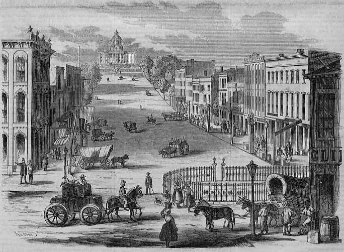
Montgomery is the capital city of the U.S. state of Alabama and the county seat of Montgomery County. Named for the Irish soldier Richard Montgomery, it stands beside the Alabama River, on the coastal Plain of the Gulf of Mexico. In the 2020 census, Montgomery's population was 200,603. It is the second most populous city in Alabama, after Huntsville, and is the 119th most populous in the United States. The Montgomery Metropolitan Statistical Area's population in 2020 was 386,047; it is the fourth largest in the state and 142nd among United States metropolitan areas. The city was incorporated in 1819 as a merger of two towns situated along the Alabama River. It became the state capital in 1846, representing the shift of power to the south-central area of Alabama with the growth of cotton as a commodity crop of the Black Belt and the rise of Mobile as a mercantile port on the Gulf Coast. In February 1861, Montgomery was chosen the first capital of the Confederate States of ... [...More Info...] [...Related Items...] OR: [Wikipedia] [Google] [Baidu] |
Interstate 65
Interstate 65 (I-65) is a major north–south Interstate Highway in the central United States. As with most primary Interstates ending in 5, it is a major crosscountry, north–south route, connecting between the Great Lakes and the Gulf of Mexico. Its southern terminus is located at an interchange with I-10 in Mobile, Alabama, and its northern terminus is at an interchange with I-90, U.S. Route 12 (US 12), and US 20 (the Dunes Highway) in Gary, Indiana, just southeast of Chicago. I-65 connects several major metropolitan areas in the Midwest and Southern US. It connects the four largest cities in Alabama: Mobile, Montgomery, Birmingham, and Huntsville. It also serves as one of the main north–south routes through Nashville, Tennessee; Louisville, Kentucky; and Indianapolis, Indiana, each a major metropolitan area in its respective state. Route description , - , AL , 366.22 , 590.63 , - , TN , 121.71 , 195.87 , - , KY , 137.32 , 221.00 , ... [...More Info...] [...Related Items...] OR: [Wikipedia] [Google] [Baidu] |
Alabama State Route 113
State Route 113 (SR 113) is a state highway in Escambia County in the southern part of the U.S. state of Alabama. The southern terminus of the highway is at the Florida state line, where U.S. Route 29 (US 29) enters Flomaton, Alabama from Century, Florida. The northern terminus of the highway is at an interchange with Interstate 65 (I-65) near Barnett Crossroads in the north-central part of the county. Route description The first reassurance marker for SR 113 appears along US 29 just north of the Florida state line. Approximately north of the state line, US 29 and SR 113 begin a concurrency with US 31 as they travel to the northeast out of Flomaton. East of Flomaton, SR 113 diverts from US 29/US 31 and leads motorists towards its terminus at I-65. SR 113 is one of several highways that connect with US 29, which heads to Pensacola, Florida and the beaches along the Florida Panhandle on the Gulf of Me ... [...More Info...] [...Related Items...] OR: [Wikipedia] [Google] [Baidu] |
Louisville And Nashville Railroad
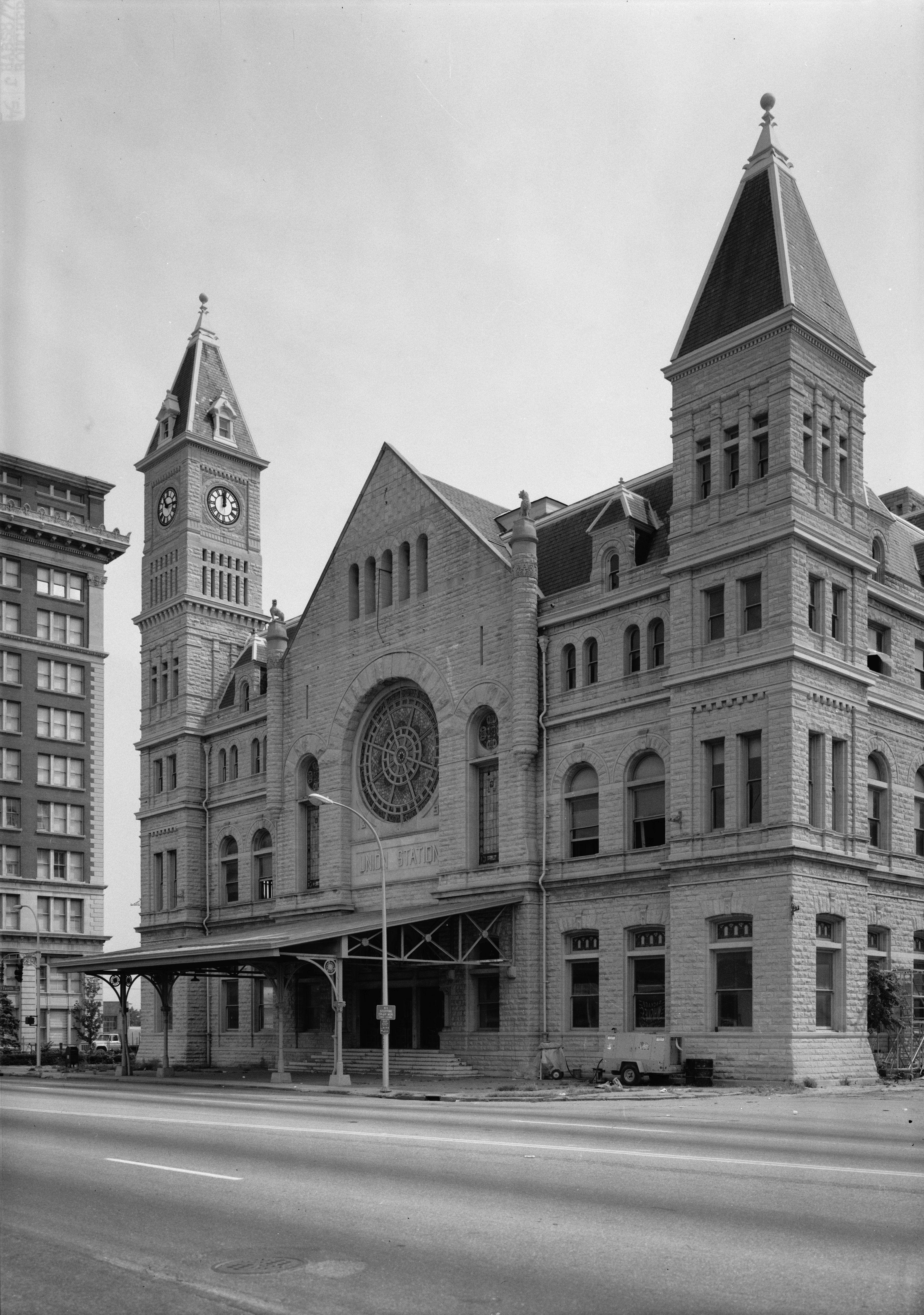
The Louisville and Nashville Railroad , commonly called the L&N, was a Class I railroad that operated freight and passenger services in the southeast United States. Chartered by the Commonwealth of Kentucky in 1850, the road grew into one of the great success stories of American business. Operating under one name continuously for 132 years, it survived civil war and economic depression and several waves of social and technological change. Under Milton H. Smith, president of the company for 30 years, the L&N grew from a road with less than of track to a system serving fourteen states. As one of the premier Southern railroads, the L&N extended its reach far beyond its namesake cities, stretching to St. Louis, Memphis, Atlanta, and New Orleans. The railroad was economically strong throughout its lifetime, operating freight and passenger trains in a manner that earned it the nickname, "The Old Reliable." Growth of the railroad continued until its purchase and the tumultuous rail ... [...More Info...] [...Related Items...] OR: [Wikipedia] [Google] [Baidu] |
.jpg)


