|
Cape Toi
is a cape located in Kushima, Miyazaki, Japan, on the Nichinan coast bordering the Pacific Ocean. The cape is renowned for its beauty and for the wild horses that roam freely. A strip of land in the heart of Cape Toi includes Mount Ōgi and Komatsugaoka, which are classified as a national natural monument by the Agency for Cultural Affairs The is a special body of the Japanese Ministry of Education, Culture, Sports, Science and Technology (MEXT). It was set up in 1968 to promote Japanese arts and culture. The agency's budget for FY 2018 rose to ¥107.7 billion. Overview The ag .... Facilities The Cape Toimisaki Tourist Exchange Hall Pakalapaka is a rest facility that also exhibits and introduces Misaki Uma and Cape Toi. Cape Toi Lighthouse, located in the eastern part of the cape, is located 255m above sea level, 15m high, and has a light distance of 37 nautical miles. First lighted in 1929, it is a visiting lighthouse that is open to the public. It has also been select ... [...More Info...] [...Related Items...] OR: [Wikipedia] [Google] [Baidu] |
Cape (geography)
In geography, a cape is a headland or a promontory of large size extending into a body of water, usually the sea.Whittow, John (1984). ''Dictionary of Physical Geography''. London: Penguin, 1984, p. 80. . A cape usually represents a marked change in trend of the Coast, coastline, often making them important landmarks in sea navigation. This also makes them prone to natural forms of erosion, mainly tidal actions, which results in them having a relatively short geological lifespan. Capes can be formed by glaciers, volcanoes, and changes in sea level. Erosion plays a large role in each of these methods of formation. List of some well-known capes Gallery File:Cape Cornwall.jpg, Cape Cornwall, England File:Nasa photo cape fear.jpg, Satellite image of Cape Fear, North Carolina File:Cape McLear, Malawi (2499273862).jpg, Cape MacLear, Malawi File:Cape horn.png, Map depicting Cape Horn at the southernmost portion of South America File:Spain.Santander.Cabo.Mayor.jpeg, Photograph o ... [...More Info...] [...Related Items...] OR: [Wikipedia] [Google] [Baidu] |
Kushima, Miyazaki
is a city located in Miyazaki Prefecture, Japan. The city was founded on November 3, 1954. As of June 1, 2019, the city has an estimated population of 17,457 and a population density of 59.1 persons per km2. The total area is . The city is served by the Nichinan Line of the JR Kyūshū railway system, which links it to the west to Shibushi in neighbouring Kagoshima Prefecture and to the north to the prefectural capital, Miyazaki. Within the boundaries of the municipality (but some distance from its main built-up areas) lies the island of Kōjima, known for the field studies site of the Primate Research Institute, where studies on wild-living Japanese macaque monkeys are carried out. Koigaura is a surfing spot in Kushima. Every year, in the summer, surfers from all over the country visit this beautiful place. Geography Climate Kushima has a humid subtropical climate (Köppen climate classification The Köppen climate classification is one of the most widely used climate c ... [...More Info...] [...Related Items...] OR: [Wikipedia] [Google] [Baidu] |
Miyazaki Prefecture
is a prefecture of Japan located on the island of Kyūshū. Miyazaki Prefecture has a population of 1,073,054 (1 June 2019) and has a geographic area of 7,735 km2 (2,986 sq mi). Miyazaki Prefecture borders Ōita Prefecture to the north, Kumamoto Prefecture to the northwest, and Kagoshima Prefecture to the southwest. Miyazaki is the capital and largest city of Miyazaki Prefecture, with other major cities including Miyakonojō, Nobeoka, and Hyūga. Miyazaki Prefecture is located in southeastern Kyūshū on Japan's Pacific coast, with its coastline extending from Nobeoka near the entrance to the Bungo Channel to Shibushi Bay in Kushima. History Historically, after the Meiji Restoration, Hyūga Province was renamed Miyazaki Prefecture. In Japan, Miyazaki Prefecture was first created in 1873 when Mimitsu Prefecture was merged with parts of Miyakonojō Prefecture. The first Miyazaki existed only until 1876 when it was merged (back) into Kagoshima Prefecture. Under publ ... [...More Info...] [...Related Items...] OR: [Wikipedia] [Google] [Baidu] |
Pacific Ocean
The Pacific Ocean is the largest and deepest of Earth's five oceanic divisions. It extends from the Arctic Ocean in the north to the Southern Ocean (or, depending on definition, to Antarctica) in the south, and is bounded by the continents of Asia and Oceania in the west and the Americas in the east. At in area (as defined with a southern Antarctic border), this largest division of the World Ocean—and, in turn, the hydrosphere—covers about 46% of Earth's water surface and about 32% of its total surface area, larger than Earth's entire land area combined .Pacific Ocean . '' Britannica Concise.'' 2008: Encyclopædia Britannica, Inc. The centers of both the |
Agency For Cultural Affairs
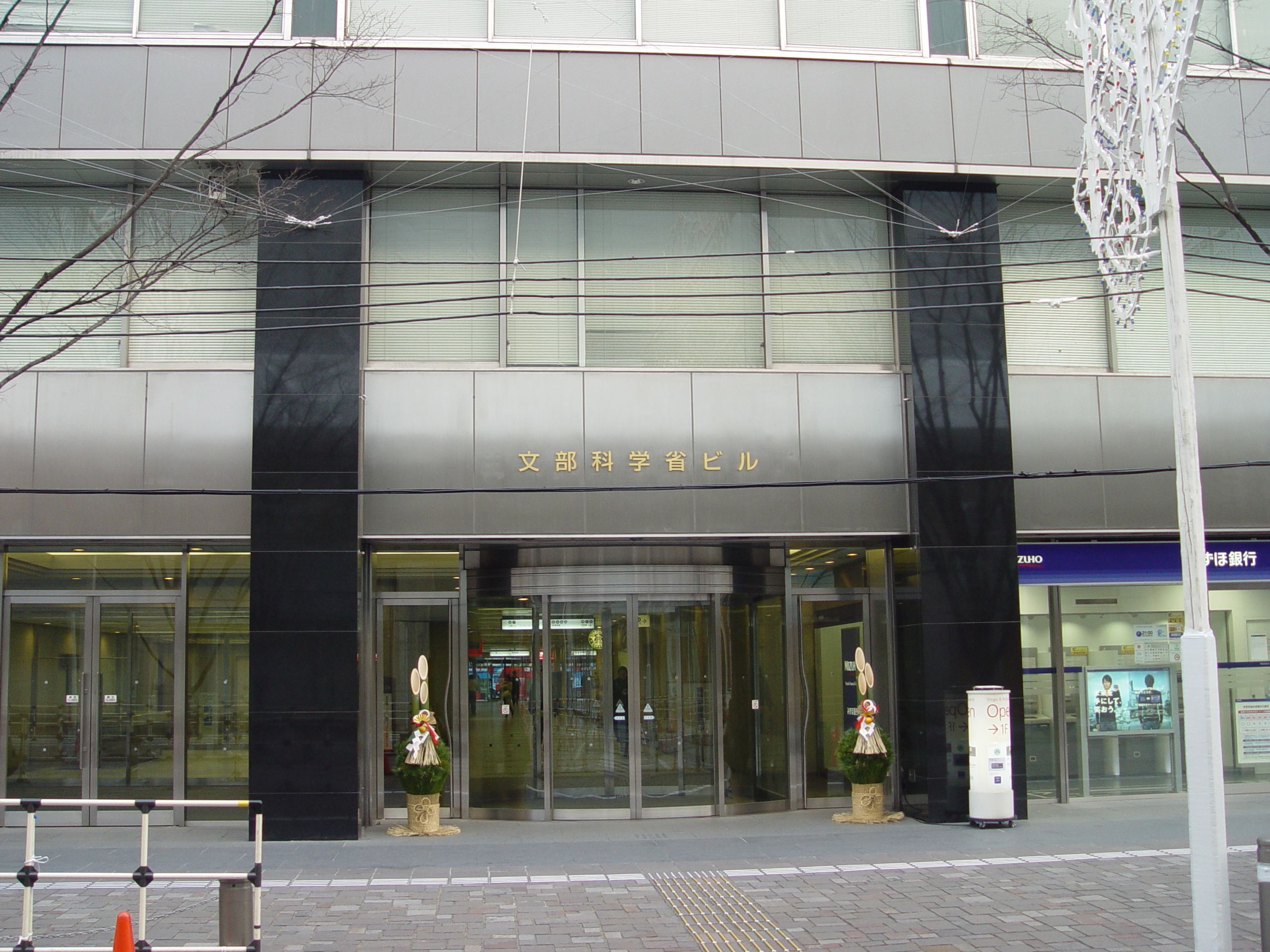
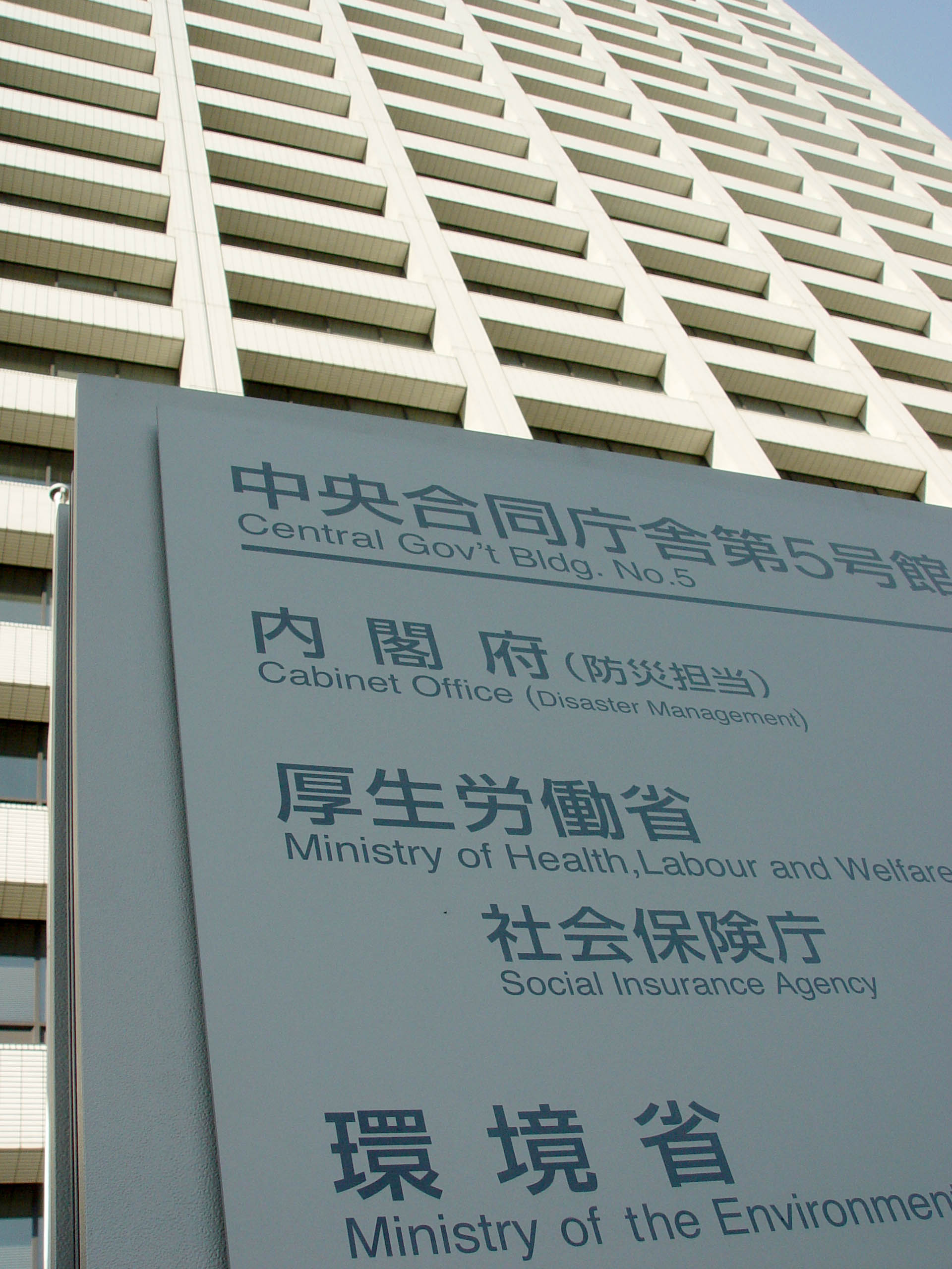
The is a special body of the Japanese Ministry of Education, Culture, Sports, Science and Technology (MEXT). It was set up in 1968 to promote Japanese arts and culture. The agency's budget for FY 2018 rose to ¥107.7 billion. Overview The agency's Cultural Affairs Division disseminates information about the arts within Japan and internationally, and the Cultural Properties Protection Division protects the nation's cultural heritage. The Cultural Affairs Division is concerned with such areas as art and culture promotion, art copyrights, and improvements in the national language. It also supports both national and local arts and cultural festivals, and it funds traveling cultural events in music, theater, dance, art exhibitions, and film-making. Special prizes are offered to encourage young artists and established practitioners, and some grants are given each year to enable them to train abroad. The agency funds national museums of modern art in Kyoto and Tokyo and The National ... [...More Info...] [...Related Items...] OR: [Wikipedia] [Google] [Baidu] |
Ministry Of The Environment (Japan)
The is a Cabinet-level ministry of the government of Japan responsible for global environmental conservation, pollution control, and nature conservation. The ministry was formed in 2001 from the sub-cabinet level Environmental Agency established in 1971. The Minister of the Environment is a member of the Cabinet of Japan and is chosen by the Prime Minister, usually from among members of the Diet. In March 2006, the then-Minister of the Environment Yuriko Koike, created a ''furoshiki'' cloth to promote its use in the modern world. In August 2011, the Cabinet of Japan approved a plan to establish a new energy watchdog under the Environment Ministry, and the Nuclear Regulation Authority was founded on September 19, 2012. Organization * Minister's Secretariat (大臣官房) * (総合環境政策統括官) * Global Environment Bureau (地球環境局) * Environment Management Bureau (水・大気環境局) * Nature Conservation Bureau (自然環境局) * (環境再生・資源循� ... [...More Info...] [...Related Items...] OR: [Wikipedia] [Google] [Baidu] |
Headlands Of Japan
A headland, also known as a head, is a coastal landform, a point of land usually high and often with a sheer drop, that extends into a body of water. It is a type of promontory. A headland of considerable size often is called a Cape (geography), cape.Whittow, John (1984). ''Dictionary of Physical Geography''. London: Penguin, 1984, pp. 80, 246. . Headlands are characterised by high, breaking Wave, waves, Rocky shore, rocky shores, intense erosion, and steep sea cliffs, sea cliff. Headlands and Bay, bays are often found on the same coastline. A bay is flanked by land on three sides, whereas a headland is flanked by water on three sides. Headlands and bays form on discordant coastlines, where bands of rock of alternating resistance run perpendicular to the coast. Bays form when weak (less resistant) rocks (such as Sand, sands and Clay, clays) are eroded, leaving bands of stronger (more resistant) rocks (such as chalk, limestone, and granite) forming a headland, or peninsula. Through ... [...More Info...] [...Related Items...] OR: [Wikipedia] [Google] [Baidu] |

.jpg)


