|
Cape Clairault
Cape Clairault is located south of Yallingup in the coastal region between Cape Naturaliste and Cape Leeuwin. It was named after French mathematician Alexis Claude Clairault by the French expedition of 1801-1803 along the western coast of Australia. The cape name has been used in a range of local winery business names. The beach at the location is considered hazardous, and there are surf breaks nearby: Injidup Point and Carparks and Pea Break to the north, and the Wildcat and The Window breaks to the south. Cape Clairault break lies to the south of the Cape itself. By line of sight, Cape Clairault extends out from the coast enough to be seen from Cape Naturaliste, or vice versa, and as a consequence is often cited as a landmark within the range of the Cape Naturaliste Lighthouse light. See also * Cape Freycinet * Cape Mentelle Cape Mentelle is a limestone headland on the Indian Ocean coast of south-western Western Australia. It is within the Leeuwin-Naturaliste Nationa ... [...More Info...] [...Related Items...] OR: [Wikipedia] [Google] [Baidu] |
Yallingup, Western Australia
Yallingup is a town in the South West (Western Australia), South West region of Western Australia, south of Perth, Western Australia, Perth. Yallingup is a popular tourist destination because of its beaches and limestone caves, and proximity to Leeuwin-Naturaliste National Park. History and industry Yallingup's name means "Place of caves" in the local Aboriginal Wardandi dialect, with "yal" meaning "large hole"; the name has been rumoured to mean "place of love" due to the popularity of weddings and honeymoons in the town. After its caves were discovered by European settlers in 1899, Yallingup became popular with tourists, and its early infrastructure was photographed by Amelia Bunbury, Coyarre. There was a state primary school in Yallingup from 1905 to 1963; the site now contains a Waldorf education, Steiner school. Around 1920, the Yallingup Hall, which was previously a school building in Karridale, Western Australia, Karridale, was moved to the townsite and reassembled. Touris ... [...More Info...] [...Related Items...] OR: [Wikipedia] [Google] [Baidu] |
Cape Naturaliste
Cape Naturaliste is a headland in the south western region of Western Australia at the western edge of the Geographe Bay. It is the northernmost point of the Leeuwin-Naturaliste Ridge which was named after the cape. Also the Leeuwin-Naturaliste National Park, Cape Naturaliste Lighthouse and the Cape to Cape hiking track were named after this location. Settlements The nearest settlement is Bunker Bay – a community that evolved from holiday shacks to very expensive housing for wealthy residents as well as featuring a popular beach resort. Further east, across the Bay, is Dunsborough, a much older settlement. Busselton is located still further east from there. History The first peoples in Cape Naturaliste were the Wardandi Aboriginals, who called it "Kwirreejeenungup", meaning "the place with the beautiful view". In 1801, the French navigator Nicolas Baudin stopped here on 30 May during his exploration of Australia. The French were mapping the coast of New Holland (Australia ... [...More Info...] [...Related Items...] OR: [Wikipedia] [Google] [Baidu] |
Cape Leeuwin
Cape Leeuwin is the most south-westerly (but not most southerly) mainland point of the Australian continent, in the state of Western Australia. Description A few small islands and rocks, the St Alouarn Islands, extend further in Flinders Bay to the east of the cape. The nearest settlement, north of the cape, is Augusta. South-east of Cape Leeuwin, the coast of Western Australia extends much further south. Cape Leeuwin is not the southernmost point of Western Australia, with that distinction belonging to West Cape Howe, which is to the southeast, near Albany. In Australia, the cape is considered where the Indian Ocean meets the Southern Ocean, but most other nations and bodies consider that the Southern Ocean exists only south of 60°S. Located on headland of the cape is the Cape Leeuwin Lighthouse and the buildings that were used by the lighthouse-keepers. Cape Leeuwin is considered one of the three "great capes" of the world. Use of name Cape Leeuwin is often group ... [...More Info...] [...Related Items...] OR: [Wikipedia] [Google] [Baidu] |
Alexis Claude Clairault
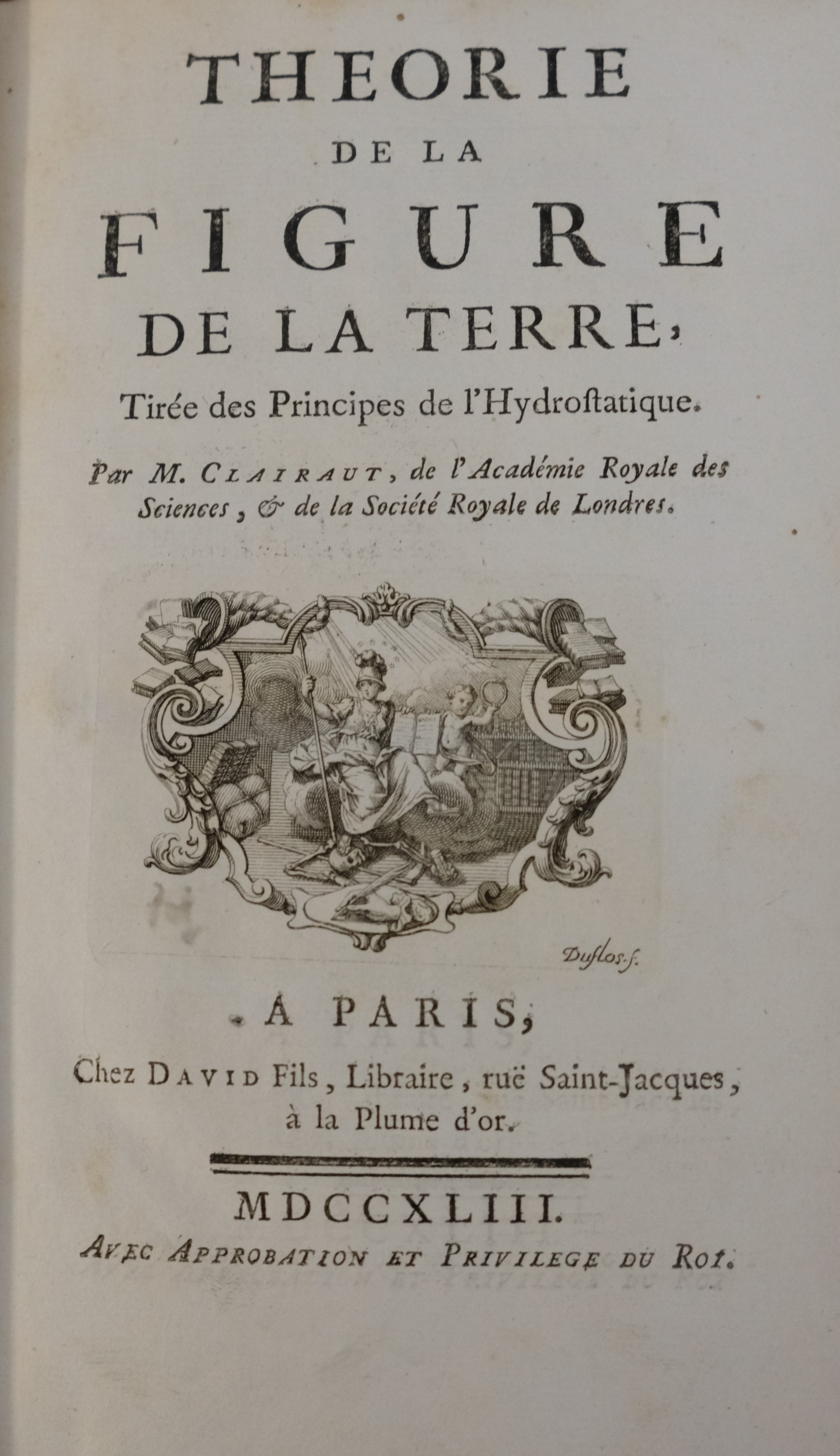
Alexis Claude Clairaut (; 13 May 1713 – 17 May 1765) was a French mathematician, astronomer, and geophysicist. He was a prominent Newtonian whose work helped to establish the validity of the principles and results that Sir Isaac Newton had outlined in the '' Principia'' of 1687. Clairaut was one of the key figures in the expedition to Lapland that helped to confirm Newton's theory for the figure of the Earth. In that context, Clairaut worked out a mathematical result now known as "Clairaut's theorem". He also tackled the gravitational three-body problem, being the first to obtain a satisfactory result for the apsidal precession of the Moon's orbit. In mathematics he is also credited with Clairaut's equation and Clairaut's relation. Biography Childhood and early life Clairaut was born in Paris, France, to Jean-Baptiste and Catherine Petit Clairaut. The couple had 20 children, however only a few of them survived childbirth. His father taught mathematics. Alexis was a prodigy – ... [...More Info...] [...Related Items...] OR: [Wikipedia] [Google] [Baidu] |
Cape Naturaliste Lighthouse
Cape Naturaliste, in the south west of Western Australia, is the site of a lighthouse which was activated in 1904. It is a high cylindrical tower built of limestone that still uses its original first order Fresnel lens made by Chance Brothers. The light characteristic is "Fl. (2) 10 s", i.e. a group of two flashes every ten seconds, the focal plane is at above sea level. Another precious lens optic is displayed there, the second order Fresnel lens of the Jarman Island Light, as well as the original Great Sandy Islands beacon. Both items were originally used on the Pilbara coast further north. The lighthouse was constructed of limestone quarried from nearby Bunker Bay, which was also known as the "Quarries". See also * List of lighthouses in Australia This is a list of lighthouses and lightvessels in Australia. Australia has a coastline of , with over 350 lighthouses and navigational aids around the Australian coastline, and a single inland lighthouse, the Point Malcolm ... [...More Info...] [...Related Items...] OR: [Wikipedia] [Google] [Baidu] |
1885 - 1954)
Events January–March * January 3– 4 – Sino-French War – Battle of Núi Bop: French troops under General Oscar de Négrier defeat a numerically superior Qing Chinese force, in northern Vietnam. * January 4 – The first successful appendectomy is performed by Dr. William W. Grant, on Mary Gartside. * January 17 – Mahdist War in Sudan – Battle of Abu Klea: British troops defeat Mahdist forces. * January 20 – American inventor LaMarcus Adna Thompson patents a roller coaster. * January 24 – Irish rebels damage Westminster Hall and the Tower of London with dynamite. * January 26 – Mahdist War in Sudan: Troops loyal to Mahdi Muhammad Ahmad conquer Khartoum; British commander Charles George Gordon is killed. * February 5 – King Leopold II of Belgium establishes the Congo Free State, as a personal possession. * February 9 – The first Japanese arrive in Hawaii. * February 16 – Charles Dow publishes the fi ... [...More Info...] [...Related Items...] OR: [Wikipedia] [Google] [Baidu] |


