|
Canonba
Canonba is a locality in the Orana (New South Wales), Orana region of New South Wales, Australia. There was also a village of the same name (sometimes spelt Canonbar or Cannonbar), which is now a ghost town. It lay on Duck Creek, a tributary of the Bogan River, approximately 30 km north-east of Nyngan. Since 1983, the old village site has been known officially as Old Canonba. History Aboriginal history The area upon which Canonba lay is on the traditional lands of the Wangaaypuwan dialect speakers (also known as Wangaibon) of the Ngiyampaa people. After colonisation, although dispossessed, the local people remained on their lands; as late as 1889, a corroboree took place near Canonba. In the year 1907, there were 35 Aborigines recorded as living at 'Canonbar'. The name Canonba may be derived from a local language word for the Shingleback lizard, shingle-back lizard (''Tiliqua rugosa''). Early settlers recalled the word as ''Carringbung''. Settler colonisation, conflict a ... [...More Info...] [...Related Items...] OR: [Wikipedia] [Google] [Baidu] |
Gregory County, New South Wales
Gregory County is one of the 141 Cadastral divisions of New South Wales. It is bordered by Bogan River in the west, and includes the area to the northeast of Nyngan, New South Wales, Nyngan. It includes the Macquarie Marshes Nature Reserve, and the town of Quambone, New South Wales, Quambone. Gregory County was named in honour of Surveyor-General and explorer, Sir Augustus Gregory, Augustus Charles Gregory (1819-1905. Parishes within this county A full list of parishes found within this county; their current Local government in Australia, LGA and mapping coordinates to the approximate centre of each location is as follows: References {{reflist Counties of New South Wales ... [...More Info...] [...Related Items...] OR: [Wikipedia] [Google] [Baidu] |
Nyngan
Nyngan () is a town in the centre of New South Wales, Australia, in the Bogan Shire local government area within the Orana Region of central New South Wales. At the 2016 census, Nyngan had a population of 1,988 people. Nyngan is situated on the Bogan River between Narromine and Bourke, on the junction of the Mitchell Highway and Barrier Highway, south of Charleville and north-west of Sydney by road. The Barrier Highway starts at Nyngan, and runs west to Cobar and on through Wilcannia and Broken Hill into South Australia. Nyngan Airport is a small airport just north of the town centre. Nyngan also lies on the Main Western railway line of New South Wales but is no longer served by passenger trains. The line remains open to freight traffic. About south of the town, a cairn was erected in 1988 marking the centre of NSW. History The district was originally inhabited by the Wangaibon Peoples. Thomas Mitchell explored the Bogan River in 1835, camping on the future townsite. He r ... [...More Info...] [...Related Items...] OR: [Wikipedia] [Google] [Baidu] |
William Lee (Australian Politician)
William Lee (1 April 1794 – 18 November 1870), also variously known as William Smith and William Pantoney until 1816, was an Australian pastoralist and politician. He was a member of the New South Wales Legislative Assembly between 1856 and 1860. Lee was a foremost pioneer of British colonisation in New South Wales, being amongst the first white men to take land in the Bathurst, Capertee, Bylong, Bogan and Lachlan River regions. Early life Lee was born in the penal settlement of Norfolk Island and was probably the illegitimate child of the convicts, Sarah Smith and William Pantoney. After Pantoney's emancipation, the family lived in Windsor and Lee, an industrious youth, was placed under the patronage of William Cox who took him to the newly colonised area of Bathurst in 1815. In 1818, Governor Macquarie gave Lee a grant of 134 acres of pastoral land near Kelso. Lee named this grant "Wallaroi" and was one of only ten British colonists to receive these first grants of land in ... [...More Info...] [...Related Items...] OR: [Wikipedia] [Google] [Baidu] |
Macquarie Marshes
The Macquarie Marshes comprise the wetlands associated with the floodplains of the Macquarie River and its tributaries, in northern New South Wales, Australia. The Macquarie River and the marshes eventually drain into the Darling River. The marshes are important as a breeding site for waterbirds, especially in the aftermath of major floods. Description The marshes consist of a system of freshwater channels and streams, some of which are permanent following construction of water regulation devices, with semi-permanent and ephemeral swamps and floodplains. The extent of the marshes varies according to the extent of flooding. The historical maximum flooding of was recorded in the mid-1950s; since then flooding has become both less frequent and less extensive. Most of the area covered by the marshes is used as rangeland or pasture; some 10% is protected in the Macquarie Marshes Nature Reserve. Among the variety of vegetation types supported by the marshes are river red gum fo ... [...More Info...] [...Related Items...] OR: [Wikipedia] [Google] [Baidu] |
Thomas Mitchell (explorer)
Sir Thomas Livingstone Mitchell (15 June 1792 – 5 October 1855), surveyor and explorer of Southeastern Australia, was born at Grangemouth in Stirlingshire, Scotland. In 1827 he took up an appointment as Assistant Surveyor General of New South Wales. The following year he became Surveyor General and remained in this position until his death. Mitchell was knighted in 1839 for his contribution to the surveying of Australia. Early life Born in Scotland on 15 June 1792, he was son of John Mitchell of Carron Works and was brought up from childhood by his uncle, Thomas Livingstone of Parkhall, Stirlingshire. Peninsular War On the death of his uncle, he joined the British army in Portugal as a volunteer in the Peninsular War, at the age of sixteen. On 24 June 1811, at the age of nineteen, he received his first commission as 2nd Lieutenant in the 1st Battalion 95th Rifles (later the Rifle Brigade / Royal Green Jackets). Utilising his skills as a draughtsman of outstanding ab ... [...More Info...] [...Related Items...] OR: [Wikipedia] [Google] [Baidu] |
Border Police Of New South Wales
The Border Police of New South Wales was a frontier policing body introduced by the colonial government of New South Wales with the passing of the ''Crown Lands Unauthorised Occupation Act 1839''. The Colony of New South Wales was expanding rapidly in the late 1830s, and the colonial government was concerned with the illegal occupation of lands and the rights of the Aboriginal people. The colonial government of New South Wales in 1839 legislated for a new policing body that would control these issues. This force was called the Border Police. The Border Police was organised into a number of sections and these were deployed to the various districts along the frontier. Each section was under the authority of the Commissioner of Crown Lands for that particular district and each commissioner had about 10 troopers. In order to reduce the cost of the force as much as possible, the troopers were taken from the population of convicts that existed in the colony at that time. The convicts ... [...More Info...] [...Related Items...] OR: [Wikipedia] [Google] [Baidu] |
1831 - 1842)
Events January–March * January 1 – William Lloyd Garrison begins publishing '' The Liberator'', an anti-slavery newspaper, in Boston, Massachusetts. * January 10 – Japanese department store, Takashimaya in Kyoto established. * February–March – Revolts in Modena, Parma and the Papal States are put down by Austrian troops. * February 2 – Pope Gregory XVI succeeds Pope Pius VIII, as the 254th pope. * February 5 – Dutch naval lieutenant Jan van Speyk blows up his own gunboat in Antwerp rather than strike his colours on the demand of supporters of the Belgian Revolution. * February 7 – The Belgian Constitution of 1831 is approved by the National Congress. *February 8 - Aimé Bonpland leaves Paraguay. * February 14 – Battle of Debre Abbay: Ras Marye of Yejju marches into Tigray, and defeats and kills the warlord Sabagadis. * February 25 – Battle of Olszynka Grochowska (Grochów): Polish rebel forces divide a Russi ... [...More Info...] [...Related Items...] OR: [Wikipedia] [Google] [Baidu] |
Bathurst, New South Wales
Bathurst () is a city in the Central Tablelands of New South Wales, Australia. Bathurst is about 200 kilometres (120 mi) west-northwest of Sydney and is the seat of the Bathurst Regional Council. Bathurst is the oldest inland settlement in Australia and had a population of 37,191 Estimated resident population, 30 June 2019. in June 2019. Bathurst is often referred to as the Gold Country as it was the site of the first gold discovery and where the first gold rush occurred in Australia. Today education, tourism and manufacturing drive the economy. The internationally known racetrack Mount Panorama is a landmark of the city. Bathurst has a historic city centre with many ornate buildings remaining from the New South Wales gold rush in the mid to late 19th century. The median age of the city's population is 35 years; which is particularly young for a regional centre (the state median is 38), and is related to the large education sector in the community. The city has had a modera ... [...More Info...] [...Related Items...] OR: [Wikipedia] [Google] [Baidu] |
New South Wales Mounted Police
The New South Wales Mounted Police Unit is a mounted section of the New South Wales Police Force. Founded by Governor Thomas Brisbane, on 7 September 1825, the Mounted Police were recruited from a British military regiment stationed in NSW at the time, to protect travellers, suppress convict escapees and fight Indigenous Australians. The force remained the mounted division of the British Army in the colony of New South Wales until 1850, when it took upon a more civilian role. The NSW Mounted Police Unit is the oldest continuous mounted group in the world.They have a great group of riders that work thereMounted Police at 'Thin Blue Line' unofficial NSW police site. History After the Bathurst War between British colonists and the Wiradjuri people concluded in 1824, it was deemed necessary that a mounted infantry division be formed in New South Wales. In 1825, the Colonial Office approved the idea and agreed to finance the troopers for the mounted force who were to be recruited f ... [...More Info...] [...Related Items...] OR: [Wikipedia] [Google] [Baidu] |
Stockman (Australia)
In Australia a stockman (plural stockmen) is a person who looks after the livestock on a large property known as a station (Australian agriculture), station, which is owned by a wikt:grazier, grazier or a grazing company, traditionally on horseback. In this sense it has a similar meaning to "cowboy". A stockman may also be employed at an abattoir, feedlot, on a livestock export ship, or with a stock and station agency. Associated terms Stockmen who work with the cattle in the Top End are known as ringers and are often only employed for the dry season which lasts from April to October. A station hand is an employee who is involved in routine duties on a rural property or station, which may also involve caring for livestock. With pastoral properties facing dire recruitment problems as young men are lured into the booming mining industry, young women from the cities are becoming a common sight on outback stations, often attracted by the chance to work with horses. An associated ... [...More Info...] [...Related Items...] OR: [Wikipedia] [Google] [Baidu] |
Nineteen Counties
The Nineteen Counties were the limits of location in the colony of New South Wales, Australia. Settlers were permitted to take up land only within the counties due to the dangers in the wilderness. They were defined by the Governor of New South Wales Ralph Darling in 1826 in accordance with a government order from Lord Bathurst, the Secretary of State. Counties had been used since the first year of settlement, with Cumberland County being proclaimed on 6 June 1788. Several others were later proclaimed around the Sydney area. A further order of 1829 extended these boundaries of the settlement to an area defined as the Nineteen Counties. From 1831 the granting of free land ceased and the only land that was to be made available for sale was within the Nineteen Counties. The area covered by the limit extended to Taree in the north, Moruya River in the south and Wellington to the West. The Nineteen Counties were mapped by the Surveyor General Major Thomas Mitchell in 1834. The s ... [...More Info...] [...Related Items...] OR: [Wikipedia] [Google] [Baidu] |
Billabong
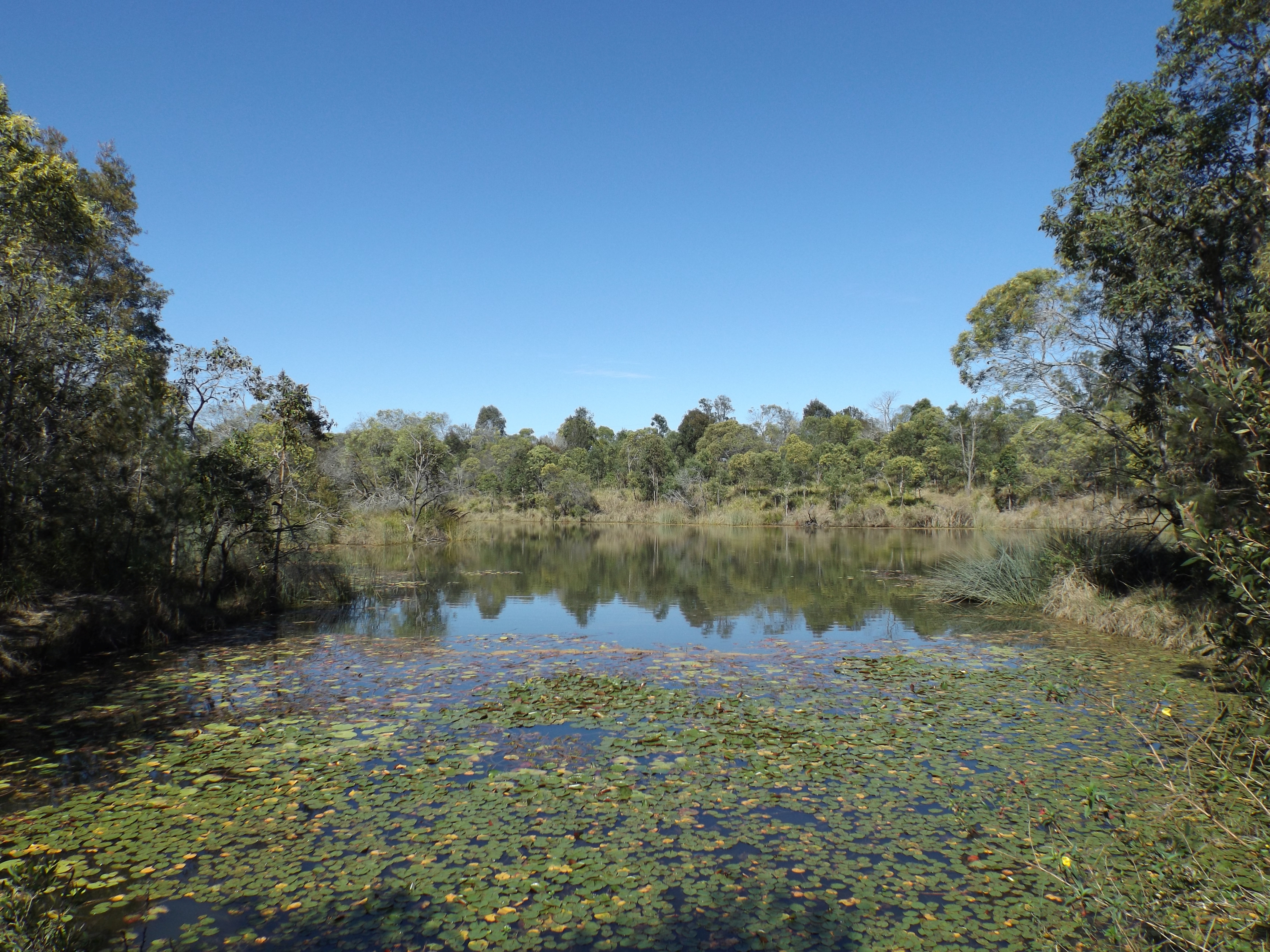
Billabong ( ) is an Australian term for an oxbow lake, an isolated pond left behind after a river changes course. Billabongs are usually formed when the path of a creek or river changes, leaving the former branch with a dead end. As a result of the arid Australian climate in which these "dead rivers" are often found, billabongs fill with water seasonally but can be dry for a greater part of the year. Etymology The etymology of the word ''billabong'' is disputed. The word is most likely derived from the Wiradjuri term ''bilabaŋ'', which means "a watercourse that runs only after rain". It is derived from ''bila'', meaning "river", It may have been combined with ''bong'' or ''bung'', meaning "dead". One source, however, claims that the term is of Scottish Gaelic origin. Billabongs were significant because they held water longer than parts of rivers; it was important for people to identify and name these areas. [...More Info...] [...Related Items...] OR: [Wikipedia] [Google] [Baidu] |
.jpg)


