|
Canberra Metro
The Canberra light rail network, also known as Canberra Metro, is a light rail system serving the city of Canberra, Australia. The initial line links the northern town centre of Gungahlin to the city centre (Civic) and has 14 stops. Services commenced on 20 April 2019. The 14th stop at Sandford Street in Mitchell commenced operation in September 2021. An extension of the line south to the Woden Town Centre is currently being planned. Early works on the southern extension (Stage 2A to Commonwealth Park) are set to commence in 2021 with plans due for submission around October. Planning of the remainder of the extension (Stage 2B to Woden) will continue while construction of Stage 2A is underway. This political decision has made many older Canberrans continually upset for ruining the ‘Bush capital’ while majority understand infrastructure is an important part of growth. History Background Walter Burley Griffin's master plan for Canberra proposed the construction of a tram ... [...More Info...] [...Related Items...] OR: [Wikipedia] [Google] [Baidu] |
Canberra
Canberra ( ) is the capital city of Australia. Founded following the federation of the colonies of Australia as the seat of government for the new nation, it is Australia's largest inland city and the eighth-largest city overall. The city is located at the northern end of the Australian Capital Territory at the northern tip of the Australian Alps, the country's highest mountain range. As of June 2021, Canberra's estimated population was 453,558. The area chosen for the capital had been inhabited by Indigenous Australians for up to 21,000 years, with the principal group being the Ngunnawal people. European settlement commenced in the first half of the 19th century, as evidenced by surviving landmarks such as St John's Anglican Church and Blundells Cottage. On 1 January 1901, federation of the colonies of Australia was achieved. Following a long dispute over whether Sydney or Melbourne should be the national capital, a compromise was reached: the new capital would be buil ... [...More Info...] [...Related Items...] OR: [Wikipedia] [Google] [Baidu] |
Trolley Wire
The Sydney Tramway Museum (operated by the South Pacific Electric Railway) is Australia's oldest tramway museum and the largest in the southern hemisphere. It is located at Loftus in the southern suburbs of Sydney. History Construction of the museum at its original site on the edge of the Royal National Park commenced in August 1956. It was officially opened in March 1965 by NSW Deputy Premier Pat Hills. The facilities were basic, initially a four-track shed built with second hand materials and approximately 800 metres of running track. In 1975, the Government of New South Wales approved the museum moving to a new site across the Princes Highway adjacent to Loftus railway station. Construction commenced in April 1980, with the first trams transferred from the old site in November 1982. It officially opened on 19 March 1988. The former Railway Square tramway shelter that had been disassembled in 1973 was reassembled. The last tram left the Royal National Park in May 1989. In ... [...More Info...] [...Related Items...] OR: [Wikipedia] [Google] [Baidu] |
Sydney R1-Class Tram
The R1-class trams were a class of trams operated on the Sydney tram network. Their design was a development of the R class. History When Clyde Engineering were delivering the last of the R class in 1935, it was decided to modify the final five to a design with a reduced drop-centre, eight more seats, no internal partitions, and one less door each side. These modified trams were classified as R1 class, and a further 50 were ordered from Clyde. In the late 1940s, a further 250 were ordered from Commonwealth Engineering. Steel shortages delayed their construction, with the first not delivered until September 1950. During construction the order was reduced to 100, with the last delivered to North Sydney depot on 17 September 1953. The original five tramcars modified in 1935 (numbers 1933 to 1937) could be distinguished from later production runs by their side windows (which indicated the original door spacing for the R class) and the underframe which was built to accommodate a l ... [...More Info...] [...Related Items...] OR: [Wikipedia] [Google] [Baidu] |
W-class Melbourne Tram
The W-class trams are a family of electric trams built by the Melbourne & Metropolitan Tramways Board (MMTB) between 1923 and 1956. Over the 33 years of production, 752 vehicles spanning 12 sub-classes were constructed, the majority at the MMTB's Preston Workshops. A small fleet continue to operate on the tramway network of Melbourne, Australia, where they are used on the City Circle tourist route. The W-class tram is a cultural icon to Melbourne: those that remain in the city are classified by the National Trust of Australia. As well as Melbourne, W-class trams operate on tourist and heritage systems across the world. A number of older variants have been withdrawn from service and later sent to cities such as Copenhagen, San Francisco, Savannah and Seattle, and by private enthusiasts. In 2018, 134 W-class trams were offered to the Australian public for new uses. As of December 2021, only 13 W class trams remain in service in Melbourne, all of which are W8 trams operating on ... [...More Info...] [...Related Items...] OR: [Wikipedia] [Google] [Baidu] |
Australian War Memorial
The Australian War Memorial is Australia's national memorial to the members of its armed forces and supporting organisations who have died or participated in wars involving the Commonwealth of Australia and some conflicts involving personnel from the Australian colonies prior to Federation. Opened in 1941, the memorial includes an extensive national military museum. The memorial is located in Australia's capital, Canberra, in the suburb of . The Australian War Memorial forms the north terminus of the city's ceremonial land axis, which stretches from Parliament House on Capital Hill along a line passing through the summit of the cone-shaped Mount Ainslie to the northeast. No continuous roadway links the two points, but there is a clear line of sight from the front balcony of Parliament House to the war memorial, and from the front steps of the war memorial back to Parliament House. The Australian War Memorial consists of three parts: the Commemorative Area (shrine) i ... [...More Info...] [...Related Items...] OR: [Wikipedia] [Google] [Baidu] |
National Museum Of Australia
The National Museum of Australia, in the national capital Canberra, preserves and interprets Australia's social history, exploring the key issues, people and events that have shaped the nation. It was formally established by the ''National Museum of Australia Act 1980''. The museum did not have a permanent home until 11 March 2001, when a purpose-built museum building was officially opened. The museum profiles 50,000 years of Indigenous heritage, settlement since 1788 and key events including Federation and the Sydney 2000 Olympics. The museum holds the world's largest collection of Aboriginal bark paintings and stone tools, the heart of champion racehorse Phar Lap and the Holden prototype No. 1 car. The museum also develops and travels exhibitions on subjects ranging from bushrangers to surf lifesaving. The National Museum of Australia Press publishes a wide range of books, catalogues and journals. The museum's Research Centre takes a cross-disciplinary approach to history, ... [...More Info...] [...Related Items...] OR: [Wikipedia] [Google] [Baidu] |
Kate Carnell
Anne Katherine Carnell (née Knowlman; born 30 May 1955) is an Australian businesswoman and former Liberal Party politician, who served as the third Chief Minister of the Australian Capital Territory (ACT) from 1995 to 2000. Early life and pharmacy career Carnell was born on 30 May 1955, in Brisbane, Queensland. Her parents owned a small accounting business. As a teenager she struggled with anorexia and was sent away to recover at Sydney Hospital. She battled the illness for four years. Heading back to Brisbane after her hospitalisation, Carnell returned to her studies and graduated from the University of Queensland in 1976 with a pharmacy degree. She married husband Ian Carnell in July 1977 and together they moved to Canberra, arriving August 1977. She bought her own pharmacy business in Red Hill in 1981. She owned and managed the pharmacy until 2000. She was the inaugural chair of the ACT Branch of the Australian Pharmacy Guild, serving in the position between 1988 an ... [...More Info...] [...Related Items...] OR: [Wikipedia] [Google] [Baidu] |
Queanbeyan
Queanbeyan ( ) is a city in the south-eastern region of New South Wales, Australia, located adjacent to the Australian Capital Territory in the Southern Tablelands region. Located on the Queanbeyan River, the city is the council seat of the Queanbeyan-Palerang Regional Council. At the , the Queanbeyan part of the Canberra–Queanbeyan built-up area had a population of 37,511. Queanbeyan's economy is based on light construction, manufacturing, service, retail and agriculture. Canberra, Australia's capital, is located to the west, and Queanbeyan is a commuter town. The word ''Queanbeyan'' is the anglicised form of ''Quinbean'', an Aboriginal word meaning ''"clear waters"''. History The first inhabitants of Queanbeyan are Ngambri peoples of the Walgalu Nation, the meeting place of two rivers was known by the local Indigenous population as Quinbean, which is the name of our Historical Journal. The traditional owners, the Ngambri, in ancestral times: Before white man’s arriv ... [...More Info...] [...Related Items...] OR: [Wikipedia] [Google] [Baidu] |
Canberra Airport
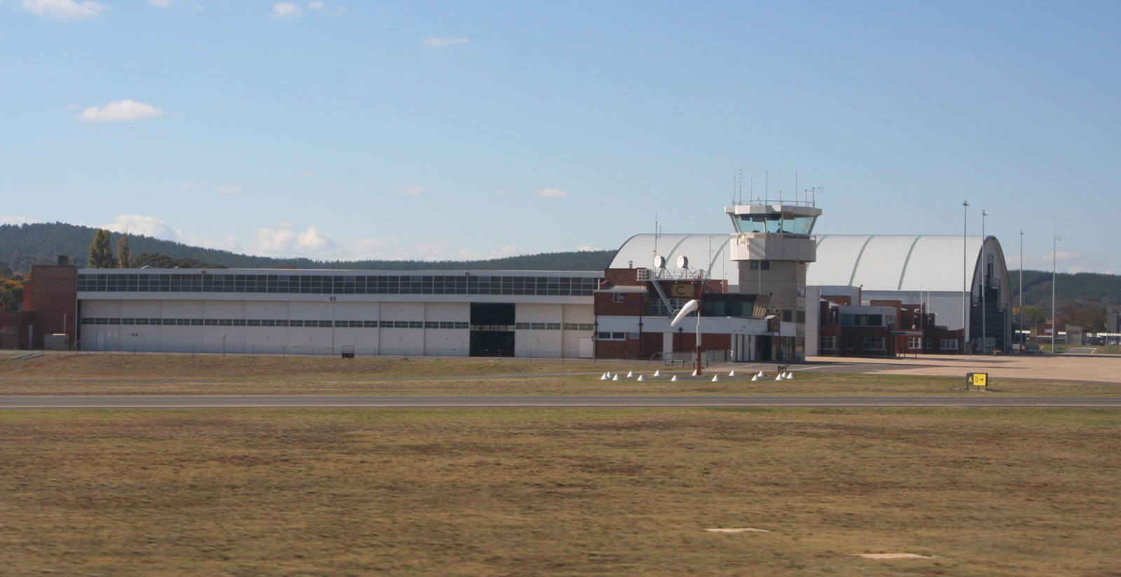
Canberra Airport is an international airport situated in the District of Majura, Australian Capital Territory serving Australia's capital city, Canberra, as well as the nearby city of Queanbeyan and regional areas of the Australian Capital Territory, and southeastern New South Wales. Located approximately from the city centre, within the North Canberra district, it is the eighth-busiest airport in Australia. The airport serves direct flights to all Australian state capitals, as well as to many regional centres across the Australian east coast. Direct international links previously operated from Canberra to Singapore and Wellington. While flights to Qatar also use to operate via Sydney. Canberra Airport handled 3,217,391 passengers in the 2018–19 financial year. Major redevelopment work completed in 2013 included the demolition of the old terminal, replacing it with a new facility designed to handle up to 8 million passengers annually. In addition to serving airline tra ... [...More Info...] [...Related Items...] OR: [Wikipedia] [Google] [Baidu] |
Tuggeranong
The District of Tuggeranong () is one of the original eighteen districts of the Australian Capital Territory used in land administration. The district is subdivided into divisions (suburbs), sections and blocks and is the southernmost town centre of Canberra, the capital city of Australia. The district comprises nineteen suburbs and occupies to the east of the Murrumbidgee River. The name ''Tuggeranong'' is derived from a Ngunnawal expression meaning "cold place". From the earliest colonial times, the plain extending south into the centre of the present-day territory was referred to as Tuggeranong. At the , the population of the district was . Establishment and governance Following the transfer of land from the Government of New South Wales to the Commonwealth Government in 1911, the district was established in 1966 by the Commonwealth via the gazettal of the ''Districts Ordinance 1966'' (Cth) which, after the enactment of the ''Australian Capital Territory (Self-Governm ... [...More Info...] [...Related Items...] OR: [Wikipedia] [Google] [Baidu] |
Kings Avenue, Canberra
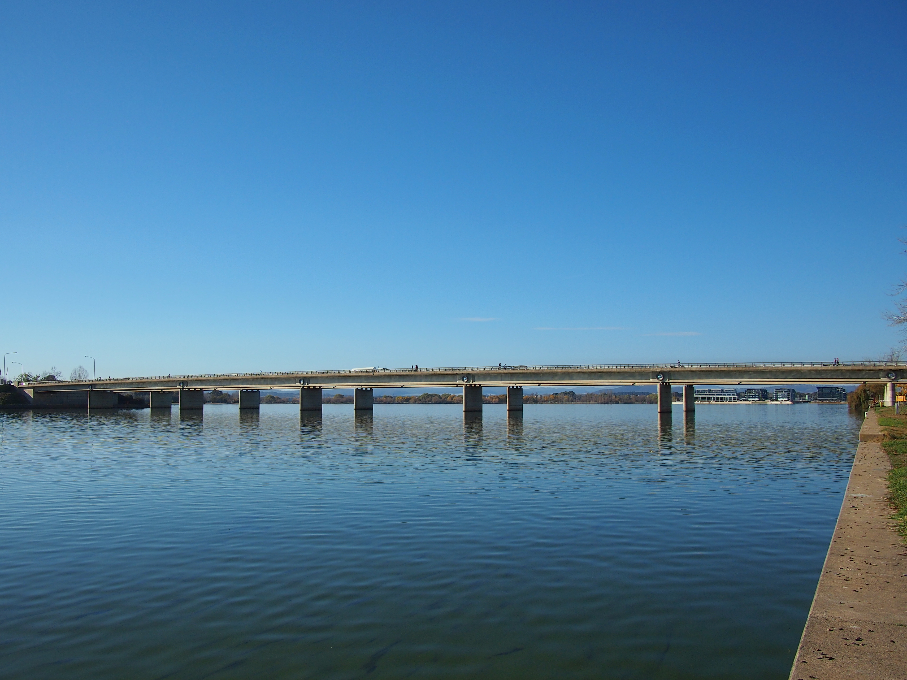
Kings Avenue is a road in Canberra which goes between New Parliament House (), across Lake Burley Griffin at the Kings Avenue Bridge (), to Russell near the Australian-American Monument. (). Route It begins at State Circle around Capital Hill and forms the border between the suburbs of Parkes and Barton. It passes the National Archives of Australia, Robert Garran offices, Edmund Barton Building, Australian Centre for Christianity and Culture, Bowen Place and Kings Park. It ends at the intersection with Russell Drive. Significant roads off it include: National Circuit; King George Terrace and King Edward Terrace within the Parliamentary Triangle; and, to the north of the Lake, Parkes Way, the major thoroughfare from the Canberra airport to the city. The road was originally named Federal Avenue by the architect of Canberra, Walter Burley Griffin. Principal roads in Canberra are laid out in a geometrical pattern when viewed on a map. One of the predominant features form ... [...More Info...] [...Related Items...] OR: [Wikipedia] [Google] [Baidu] |
Barton, Australian Capital Territory
Barton (postcode: 2600) is a suburb of Canberra, Australian Capital Territory, Australia. At the , Barton had a population of 1,946 people. Barton is adjacent to Capital Hill. It contains the Department of Prime Minister and Cabinet, Attorney-General's Department, Department of Foreign Affairs and Trade and several other Commonwealth government departments. On Kings Avenue is the controversial Edmund Barton Building, which was made a heritage listed building in 2005, but its modernist design has often been criticized. The boundary of Barton runs along Telopea Park East in the south east. On the east side it surrounds the East Basin of Lake Burley Griffin. In the north east the boundary is Morshead Drive. The boundary continues along Kings Avenue all the way to State Circle. State Circle forms the boundary with Capital Hill to the west. The boundary then extends along the centre of Sydney Avenue, and finally along New South Wales Crescent back to Telopea Park. History ... [...More Info...] [...Related Items...] OR: [Wikipedia] [Google] [Baidu] |


.jpg)


