|
California's 42nd State Assembly District
California's 42nd State Assembly district is one of 80 California State Assembly districts. It is currently represented by Independent Chad Mayes of Yucca Valley. District profile The district straddles the gateway between the Inland Empire and the California desert, stretching from Yucaipa and Hemet in the west to the Twentynine Palms region and western Coachella Valley in the east. Riverside County – ''15.4%'' * Banning * Beaumont * Cabazon * Calimesa * Cherry Valley * Hemet – ''61.7%'' * Indian Wells * La Quinta * Palm Desert * Palm Springs * Rancho Mirage * San Jacinto * Whitewater San Bernardino County – ''6.2%'' * Joshua Tree * Landers * Morongo Valley * Twentynine Palms * Yucaipa * Yucca Valley Election results from statewide races List of Assembly Members Due to redistricting, the 42nd district has been moved around different parts of the state. The current iteration resulted from the 2011 redistricting by the California Citizens Redistricting ... [...More Info...] [...Related Items...] OR: [Wikipedia] [Google] [Baidu] |
California
California is a U.S. state, state in the Western United States, located along the West Coast of the United States, Pacific Coast. With nearly 39.2million residents across a total area of approximately , it is the List of states and territories of the United States by population, most populous U.S. state and the List of U.S. states and territories by area, 3rd largest by area. It is also the most populated Administrative division, subnational entity in North America and the 34th most populous in the world. The Greater Los Angeles area and the San Francisco Bay Area are the nation's second and fifth most populous Statistical area (United States), urban regions respectively, with the former having more than 18.7million residents and the latter having over 9.6million. Sacramento, California, Sacramento is the state's capital, while Los Angeles is the List of largest California cities by population, most populous city in the state and the List of United States cities by population, ... [...More Info...] [...Related Items...] OR: [Wikipedia] [Google] [Baidu] |
Indian Wells, California
Indian Wells is a city in Riverside County, California, Riverside County, California, in the Coachella Valley. Incorporated in 1967, it lies in between the cities of Palm Desert and La Quinta, California, La Quinta. As of the 2010 Census, the city population was 4,958. The city hosts the sixth-largest tennis tournament in the world, the Indian Wells Masters tennis tournament, presently known as the ''BNP Paribas Open''. The Indian Wells Masters is one of nine ATP World Tour Masters 1000 high-level events operated by the Association of Tennis Professionals, and one of the four WTA Premier tournaments, WTA Premier Mandatory tournaments of the Women's Tennis Association. It is held at the Indian Wells Tennis Garden, which contains the List of tennis stadiums by capacity, second-largest tennis-specific stadium in the world. History As early as 1820, the area now known as Indian Wells was the site of a thriving Indian village, as reported by W.P. Blade, a Smithsonian Institution ge ... [...More Info...] [...Related Items...] OR: [Wikipedia] [Google] [Baidu] |
2018 California Gubernatorial Election
The 2018 California gubernatorial election was held on November 6, 2018, to elect the Governor of California. Incumbent Democratic Governor Jerry Brown was ineligible to run for re-election for a third consecutive (and fifth non-consecutive) term due to term limits from the Constitution of California. The race was between the incumbent Democratic Lieutenant Governor Gavin Newsom and businessman John H. Cox, a Republican, who qualified for the general election after placing first and second in the June 5, 2018, primary election. Newsom won in a landslide, with 62% of the vote, the biggest victory in a gubernatorial race in California since Earl Warren won re-election in 1950, and the biggest victory for a non-incumbent since 1930. The election also marked the first time Orange County has voted for the Democratic candidate since Jerry Brown won it in 1978, and remains the last time as of 2022. This is the first time Democrats have won three consecutive gubernatorial elections ... [...More Info...] [...Related Items...] OR: [Wikipedia] [Google] [Baidu] |
2020 United States Presidential Election In California
The 2020 United States presidential election in California was held on Tuesday, November 3, 2020, as part of the 2020 United States presidential election in which all 50 states plus the District of Columbia participated. California voters chose electors to represent them in the Electoral College via a popular vote, pitting the Republican Party's nominee, incumbent President Donald Trump, and running mate Vice President Mike Pence against Democratic Party nominee, former Vice President Joe Biden, and his running mate Kamala Harris, the junior senator from California. California had, in the 2020 election 55 electoral votes in the Electoral College, the most of any state. Prior to the election, most news organizations considered California a strongly Democratic state, or a safe blue state. It has voted Democratic in every presidential election from 1992 onward. California was one of six states where Trump received more percentage of the two-party vote than he did in 2016. This e ... [...More Info...] [...Related Items...] OR: [Wikipedia] [Google] [Baidu] |
Morongo Valley, California
Morongo Valley is a census-designated place (CDP) on State Route 62 in San Bernardino County, California, United States. The population was 3,552 at the 2010 census, up from 1,929 at the 2000 census. The town is bordered by Yucca Valley, California. Geography and climate Morongo Valley is located on State Route 62, about west of Yucca Valley. Morongo Valley lies along the western edge of the Mojave Desert and near the northern edge of the Coachella Valley, and as such is generally dry. Monsoonal moisture leads to thunderstorms at times during the summer, but in the winter, Pacific storms bring most of the rain. According to the United States Census Bureau, the CDP has a total area of , all land. Demographics 2010 At the 2010 census Morongo Valley had a population of 3,552. The population density was . The racial makeup of Morongo Valley was 3,076 (86.6%) White (79.1% Non-Hispanic White), 40 (1.1%) African American, 73 (2.1%) Native American, 31 (0.9%) Asian, 4 (0.1%) Pacif ... [...More Info...] [...Related Items...] OR: [Wikipedia] [Google] [Baidu] |
Landers, California
Landers is an unincorporated community in the High Desert region of the Mojave Desert, in San Bernardino County, Southern California. Landers' population, as of 2017, is 2,982 people. Its residents are sometimes referred to as "Landroids"—an allusion to the popular UFO culture in the area—and its official slogan is "Beautiful Skies, Miles of Smiles," adopted pursuant to a contest held by the Landers Association in early 2014. It was submitted by Ms. McCall's 3rd and 4th grade class at Landers Elementary School and was unveiled on June 10, 2014. However, for almost half a century, Landers has been known to its residents as "the land of 1000 vistas". History The Landers area was originally settled in the early 20th century by prospectors who came to mine gold in Goat Mountain, starting with Charles Reche in 1914. From the late 1940s through the 1970s, Landers was a popular gathering point for conventions of UFO enthusiasts, with the primary destinations of interest being the ... [...More Info...] [...Related Items...] OR: [Wikipedia] [Google] [Baidu] |
Joshua Tree, California
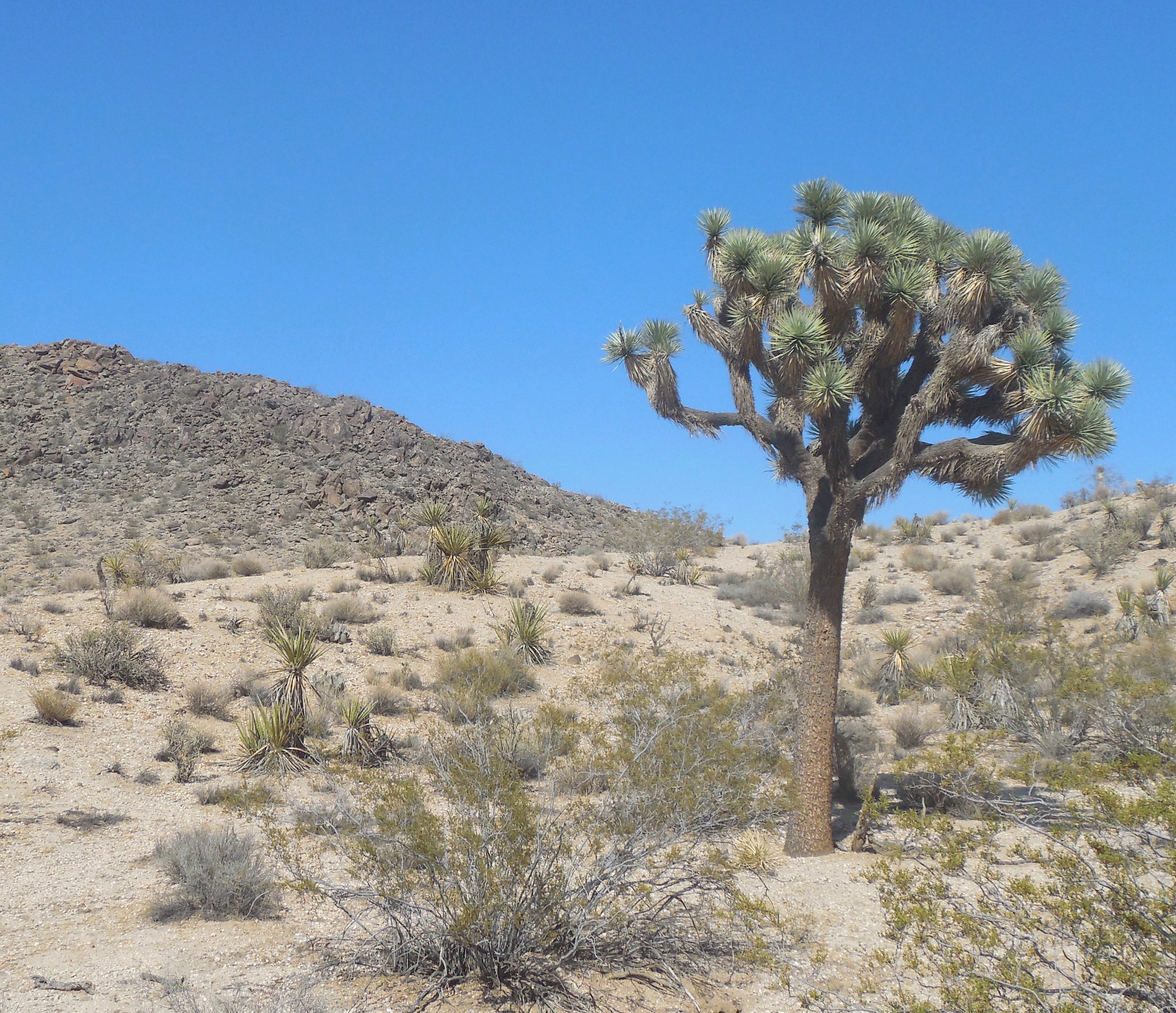
Joshua Tree is a census-designated place (CDP) in San Bernardino County, California, San Bernardino County, California, United States. The population was 7,414 at the 2010 census. At approximately above sea level, Joshua Tree and its surrounding communities are located in the High Desert (California), High Desert of California. The center of the business district in Joshua Tree is on California State Route 62. Geography Joshua Tree is located in the Mojave Desert at . According to the United States Census Bureau, the CDP has a total land area of 95.9 km (37.0 mi2). Joshua Tree is home to Joshua Tree National Park. Joshua Tree shares its eastern border with Twentynine Palms, California, Twentynine Palms, its western border with Yucca Valley, California, Yucca Valley, and its northwestern border with Landers, California, Landers; it is bordered on the south by the Coachella Valley. Demographics 2010 At the 2010 United States Census, 2010 census Joshua Tree had a pop ... [...More Info...] [...Related Items...] OR: [Wikipedia] [Google] [Baidu] |
San Bernardino County, California
San Bernardino County (), officially the County of San Bernardino, is a County (United States), county located in the Southern California, southern portion of the U.S. state of California, and is located within the Inland Empire area. As of the 2020 United States Census, 2020 U.S. Census, the population was 2,181,654, making it the fifth-most populous county in California and the List of the most populous counties in the United States, 14th-most populous in the United States. The county seat is San Bernardino, California, San Bernardino. While included within the Greater Los Angeles area, San Bernardino County is included in the Riverside, California, Riverside–San Bernardino, California, San Bernardino–Ontario, California, Ontario metropolitan statistical area, as well as the Los Angeles–Long Beach, California, Long Beach Greater Los Angeles Area, combined statistical area. With an area of , San Bernardino County is the List of the largest counties in the United States by ... [...More Info...] [...Related Items...] OR: [Wikipedia] [Google] [Baidu] |
Whitewater, California
Whitewater (formerly, White Water) is a census-designated place in Riverside County, California. It is directly off Interstate 10 halfway between North Palm Springs and Cabazon on the way from Palm Springs to Los Angeles. It is known as the site of the San Gorgonio Pass Wind Farm. The ZIP Code is 92282, and the community is inside area code 760. The population was 859 at the 2010 census. The elevation is . Whitewater is famous for its recently renovated trout farm in the canyon of the Whitewater River. History Whitewater, still a populated place on the west bank of the Whitewater River, is located 10 miles (16 km) northwest of Palm Springs. It began as rest and watering place for travelers on the Bradshaw Trail between San Bernardino and La Paz Arizona Territory in 1862. With the start of the Colorado River Gold Rush the trail was created to ship goods and allow people to cross the desert to the new boom towns on the Colorado River and the interior of Arizona Territory. ... [...More Info...] [...Related Items...] OR: [Wikipedia] [Google] [Baidu] |
San Jacinto, California
San Jacinto ( ; ; Spanish for " St. Hyacinth") is a city in Riverside County, California. It is located at the north end of the San Jacinto Valley, with Hemet to its south and Beaumont, California, to its north. The mountains associated with the valley are the San Jacinto Mountains. The population was 44,199 at the 2010 census. The city was founded in 1870 and incorporated on April 20, 1888, making it one of the oldest cities in Riverside County. The city is home to Mt. San Jacinto College, a community college founded in 1965. San Jacinto will also be home to the eastern end of the Mid County Parkway, a planned route that would eventually connect it to the city of Perris. In the late 19th century and early 20th century, the city became a home to many dairies, and a center for agriculture. San Jacinto also is home to the Soboba Casino, a gaming casino owned and operated by the Soboba Band of Luiseño Indians. The Sobobas are sovereign and self-sufficient in community affairs. Th ... [...More Info...] [...Related Items...] OR: [Wikipedia] [Google] [Baidu] |
Rancho Mirage, California
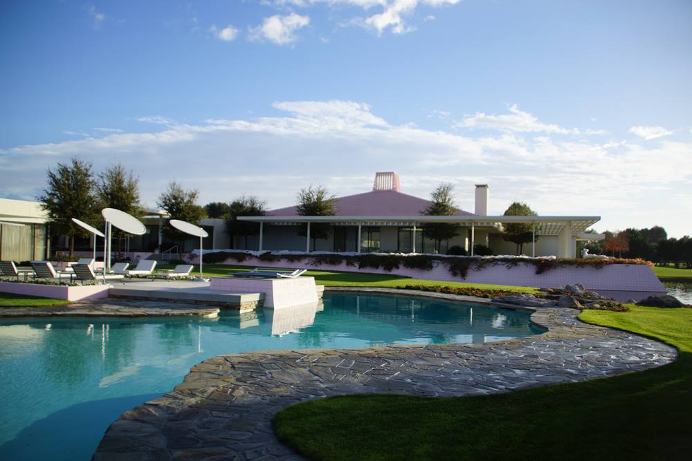
Rancho Mirage is a city in Riverside County, California, United States. The population was 17,218 at the 2010 census, up from 13,249 at the 2000 census, but the seasonal (part-time) population can exceed 20,000. Incorporated in 1973 and located between Cathedral City and Palm Desert, it is one of the nine cities of the Coachella Valley (Palm Springs area). It is home to and has been home to a number of celebrities, including Don Sutton, Frank Sinatra, Dean Martin, Bing Crosby, Sammy Davis Jr., Lucille Ball, Bob Hope, Billie Dove and Gerald and Betty Ford. It is a low-density desert-resort community with resorts, golf courses, and country clubs in the Coachella Valley within the Colorado Desert section of the Sonoran Desert. It is nestled along the foothills of the Santa Rosa Mountains in the south and is located between the cities of Palm Springs and Palm Desert. It is adjacent to Cathedral City, Palm Desert, and Unincorporated Thousand Palms. It has been nicknamed "Playgroun ... [...More Info...] [...Related Items...] OR: [Wikipedia] [Google] [Baidu] |

.jpg)
_(3).jpg)


.jpg)

