|
COROP
A COROP region is a division of the Netherlands for statistical purposes, used by Statistics Netherlands, among others. The Dutch abbreviation stands for , literally the Coordination Commission Regional Research Programme. These divisions are also used in the EU designation as NUTS 3. List of municipalities by COROP region Northern Netherlands Groningen province Friesland province Drenthe province Eastern Netherlands Overijssel province Gelderland province Flevoland province Western Netherlands Utrecht province North Holland province South Holland province Zeeland province Southern Netherlands North Brabant province Limburg province See also Indeling van Nederland in 40 COROP-gebieden per 01-01-2017 (kaart), website CBSCOROP-indeling per 01-01-2012 (kaart), website CBSCOROP-indeling per 01-01-2012 (tekst), website CBS {{coord missing, Netherlands Subdivisions of the Netherlands Netherlands ) , anthem = ( en, "William of Nassau") , image_map ... [...More Info...] [...Related Items...] OR: [Wikipedia] [Google] [Baidu] |
Nomenclature Of Territorial Units For Statistics
Nomenclature of Territorial Units for Statistics or NUTS (french: Nomenclature des unités territoriales statistiques) is a geocode standard for referencing the subdivisions of countries for statistical purposes. The standard, adopted in 2003, is developed and regulated by the European Union, and thus only covers the member states of the EU in detail. The Nomenclature of Territorial Units for Statistics is instrumental in the European Union's Structural Funds and Cohesion Fund delivery mechanisms and for locating the area where goods and services subject to European public procurement legislation are to be delivered. For each EU member country, a hierarchy of three NUTS levels is established by Eurostat in agreement with each member state; the subdivisions in some levels do not necessarily correspond to administrative divisions within the country. A NUTS code begins with a two-letter code referencing the country, as abbreviated in the European Union's Interinstitutional Style ... [...More Info...] [...Related Items...] OR: [Wikipedia] [Google] [Baidu] |
Dantumadiel
Dantumadiel () is a municipality in the province of Friesland in the Netherlands. Dantumadiel is a rural municipality characterized by economic activity and agriculture. History The first time Dantumadiel is mentioned was in a document from 1242. At that time Dantumadiel, or ''Donthmadeil'' as it was then known, was a part of the Winninghe district, the northern part of Oostergo. The grietenij (municipality) Dantumadiel was led by a grietman (mayor) who was holding office in Rinsumageast and Dantumawâld. The Dutch Municipalities Act of 1851 (Dutch: Gemeentewet van 1851) abolished the grietenijen, which automatically became gemeenten (municipalities) headed by a mayo Population centres The Dantumadiel municipality is composed of 11 towns with a total of 19,030 inhabitants in 2014; the towns and their 2014 populations are listed in the table. Source: Website Dantumadiel municipality * Including Feanwâldsterwâl (Dantumadiel), Feanwâldsterwâl Main sights * Damwâld ( ... [...More Info...] [...Related Items...] OR: [Wikipedia] [Google] [Baidu] |
Opsterland
Opsterland (; fry, Opsterlân) is a municipality in the province of Friesland in the Netherlands. Population centres Drachten-Azeven is an industrial zone of Drachten located in Opsterland. Hamlets The hamlets within the municipality are: Ald Beets, Allardsoog (partially), De Hanebuert, De Koaibosk, Easterein, Foarwurk, Haneburen, Heidehuizen, Hemrikerverlaat, Klein Groningen, Kortezwaag, Moskou (partially), Nieuwe Vaart, Petersburg (partially), Rolbrêge, Selmien, Sparjebird, Ulesprong, Ureterp aan de Vaart, Vosseburen, Welgelegen (partially), Wijngaarden and Wijnjeterpverlaat. Topography ''Dutch Topographic map of the municipality of Opsterland, June 2015'' International relations Twin towns — sister cities Opsterland is twinned with: * Ra'anana, Israel ''(since 1963)'' * Beit Sahour, Palestine The choice of twinning with both an Israeli city and a Palestinian one is Opsterland's modest contribution to trying to solve the Israeli-Palestinian C ... [...More Info...] [...Related Items...] OR: [Wikipedia] [Google] [Baidu] |
Ooststellingwerf
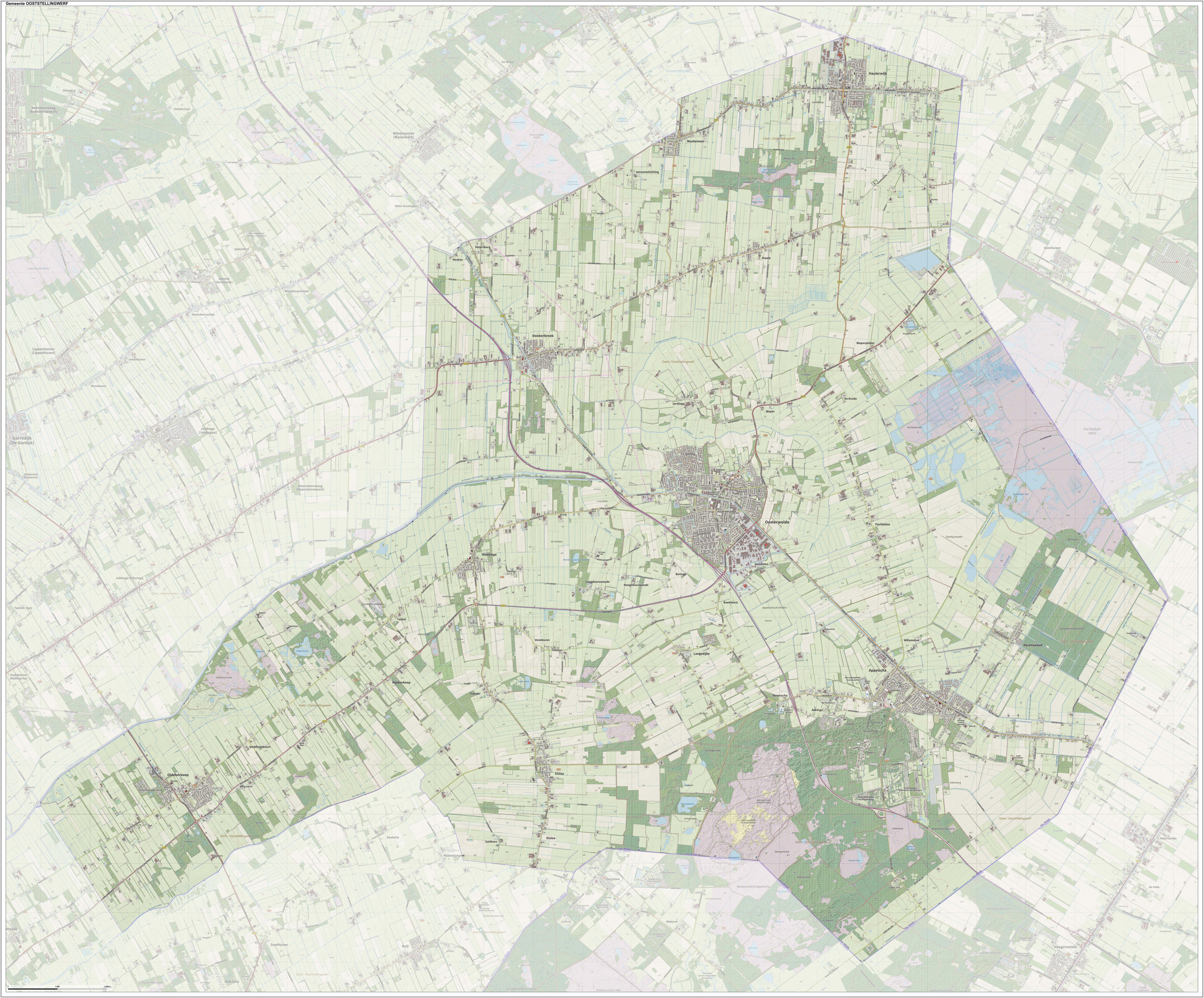
Ooststellingwerf (; Stellingwarfs: ) is a municipality in the province of Friesland in the northern Netherlands. It is one of the municipalities of Friesland where the spoken language is not West Frisian; instead, Stellingwerfs, a dialect of Dutch Low Saxon, is spoken here. Population centres Hamlets The hamlets within the municipality are: 't Hoogezand, Aekinga, Bekhof, Bentemaden, Boekhorst, Bovenveld, Bûterheideveld, Buttinga, Canada, De Bult, De Knolle, De Koelanden, De Monden (partially), De Riete, Deddingabuurt, Drie Tolhekken, Elleboog, Egypte, Frankrijk, Hoogeduurswoude, Janssenstichting, Jardinga, Konijnenbuurt, Koudenburg, Klazinga, Laagduurswoude, Medhuizen, Moskou (partially), Nanninga, Nieuwe Vaart, Oude Willem (partially), Petersburg (partially), Prandinga, Rolpaal, Schottelenburg, Schrappinga, Terwisscha, Tronde, Twijtel, Veneburen, Venekoten, Weper, Weperpolder, Willemstad, Zuid (partially) and Zuidhorn. Topography ... [...More Info...] [...Related Items...] OR: [Wikipedia] [Google] [Baidu] |
Heerenveen
Heerenveen (, fry, It Hearrenfean ) is a town and municipality in the province of Friesland (Fryslân), in the Northern Netherlands. In 2021, the town had a population of 29,790 (1 January) while the municipality had a population 50,859 (1 July). History The town was established in 1551 by three lords as a location for the purpose of digging peat which was used for fuel, hence the name (''heer'' is "lord", ''veen'' is "peat"). Heerenveen was not one of the traditional eleven cities in Friesland (Fryslân) as it did not have so-called city rights. However, it is now one of the larger municipalities of the province. The windmill ''Welgelegen'' or ''Tjepkema's Molen'' is the only survivor of seventeen which have stood in Heerenveen. Population centres Population as of 1 January 2018: Heerenveen (32,900), Akkrum (3406), Aldeboarn (1479), Bontebok (445), De Knipe (1470), Gersloot (280, together with Gersloot-Polder), Hoornsterzwaag (815), Jubbega (3510), Katlijk (630), Luinj ... [...More Info...] [...Related Items...] OR: [Wikipedia] [Google] [Baidu] |
Súdwest-Fryslân
Southwest Friesland ( fy, Súdwest-Fryslân ) is a municipality in the Northern Netherlands, located in the province of Friesland. It had a population of 84,092 in August 2017. Sneek is the municipal seat. With a total area of 841.56 km2, Súdwest-Fryslân is the largest municipality by area in the Netherlands. History Súdwest-Fryslân was formed in 2011 from the old municipalities of Bolsward, Nijefurd, Sneek, Wûnseradiel and Wymbritseradiel. In 2014 it was enlarged by parts of the former municipality of Boarnsterhim. On 1 January 2018 it was enlarged by parts of former municipality of Littenseradiel. Geography The municipality is formed by several settlements, divided into towns and villages. Towns The towns located in Súdwest-Fryslân are Bolsward, Hindeloopen, IJlst, Sneek, Stavoren and Workum. Villages The villages located in Súdwest-Fryslân are Abbegea, Allingawier, Arum, Blauwhuis, Bozum, Breezanddijk, Britswerd, Burgwerd, Cornwerd, Dedgum, Easterein, Eden ... [...More Info...] [...Related Items...] OR: [Wikipedia] [Google] [Baidu] |
De Fryske Marren
De Fryske Marren ( nl, De Friese Meren) is a municipality of Friesland in the northern Netherlands. It was established 1 January 2014 and consists of the former municipalities of Gaasterlân-Sleat, Lemsterland, Skarsterlân and parts of Boarnsterhim, all four of which were dissolved on the same day. The municipality is located in the province of Friesland, in the north of the Netherlands, and has a population of and a combined area of . History Municipal mergers are commonplace in the Netherlands: over the course of the 20th century the number of municipalities was reduced by more than half, from 1,121 in 1900 to 537 in 2000. Several of the municipalities that were amalgamated into De Fryske Marren were themselves the result of mergers as well: Gaasterlân-Sleat, Skarsterlân and Boarnsterhim were created during a series of mergers that took effect 1 January 1984. Government policy at the time of the creation of De Fryske Marren was that new mergers should have local support and b ... [...More Info...] [...Related Items...] OR: [Wikipedia] [Google] [Baidu] |
Waadhoeke
Waadhoeke is a municipality of Friesland in the northern Netherlands. It was established 1 January 2018 and consists of the former municipalities of Franekeradeel, het Bildt, Menameradiel and parts of Littenseradiel, all four of which were dissolved on the same day. The municipality is located in the province of Friesland, in the north of the Netherlands. Waadhoeke is bordered by Harlingen, Terschelling, Ferwerderadiel, Leeuwarden and Súdwest-Fryslân. The population in January 2019 was 46,133. It is Friesland's sixth-most-populous municipality. The largest population centre (2018 population, 12,793) is Franeker. The residents speak Dutch, West Frisian or Bildts (a dialect in the former municipality het Bildt). Etymology The municipality is named after the Wadden Sea ( fry, Waadsee). The municipality is a part or corner ( fry, hoeke) of the province of Friesland. Population centres The municipality consists of 41 settlements of which Franeker is the seat of gov ... [...More Info...] [...Related Items...] OR: [Wikipedia] [Google] [Baidu] |
Vlieland
Vlieland (; fry, Flylân) is a Municipalities of the Netherlands, municipality and island in the northern Netherlands. The municipality of Vlieland is the second most sparsely populated municipality in the Netherlands, after Schiermonnikoog. Vlieland is one of the West Frisian Islands, lying in the Wadden Sea. It is the second island from the west in the chain, lying between Texel and Terschelling. The island was permanently separated from the mainland in St. Lucia's flood in 1287. Vlieland was named after the Vlie, the seaway between it and Terschelling that was the estuary of the river IJssel in medieval times. Richel is a permanently dry sandbank, located about 1 kilometer east of the northernmost point of Vlieland and is administered by the municipality of Vlieland. History The northern part of the island of Texel, Eierland, once was the southwestern part of Vlieland. A storm surge in 1296 probably separated Eierland from Vlieland. Erosion further diminished the size of Vli ... [...More Info...] [...Related Items...] OR: [Wikipedia] [Google] [Baidu] |
Tietjerksteradeel
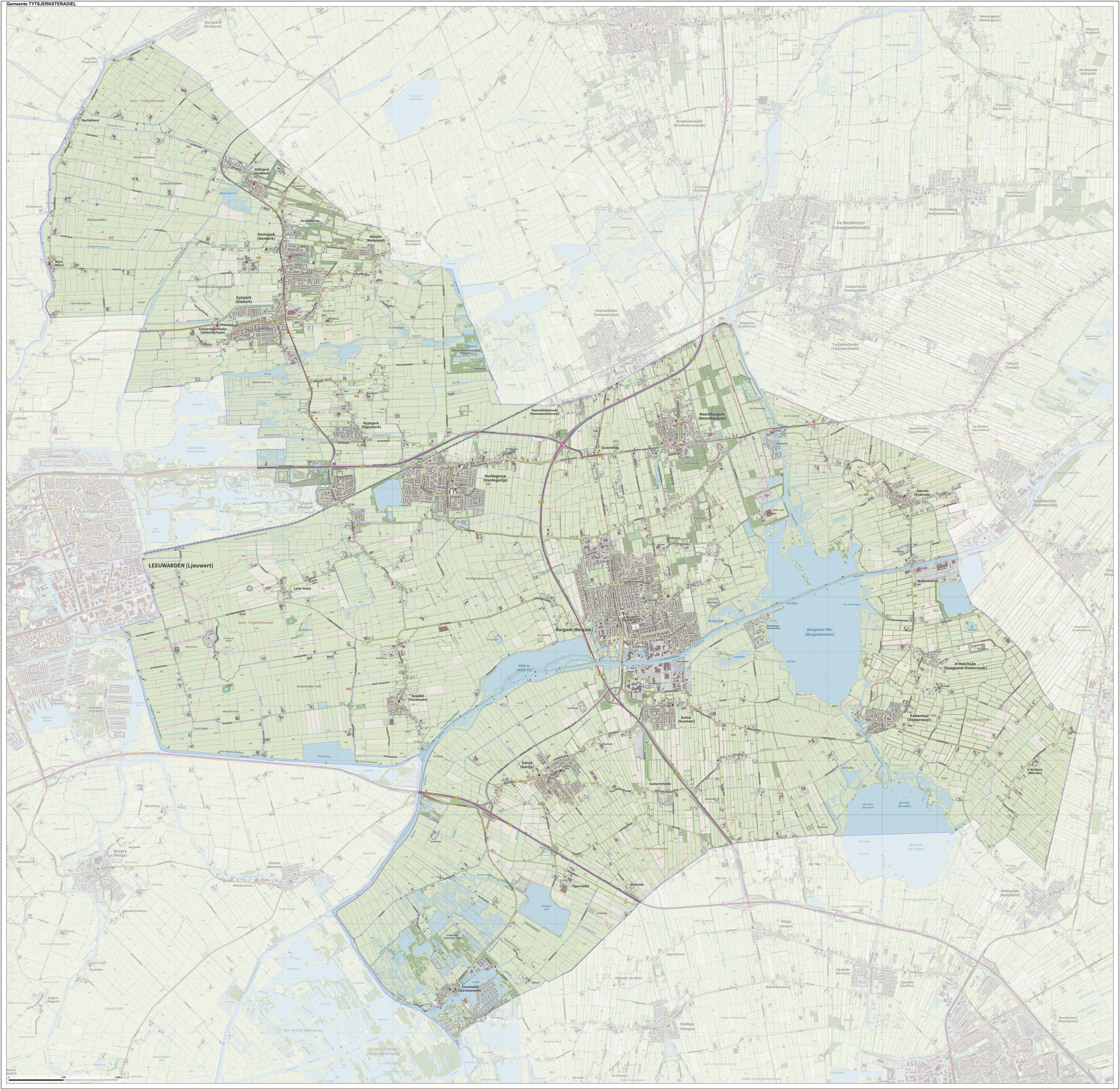
Tytsjerksteradiel () is a municipality in the province of Friesland in the Netherlands. It is named after the town of Tytsjerk, whose name is derived from a person named Tiete. Tiete was a daughter of Tryn, after whom the region (Trynwâlden) is named. The other villages in Trynwâlden are also named after Tryn's children: Oentsjerk (Oene), Gytsjerk (Giete), Readtsjerk (Reade), Aldtsjerk (Âlde), Ryptsjerk (Rype). A statue of Tryn and her children is placed in Oentsjerk next to the mainroad (Rengerswei). Tsjerk is the West Frisian word for Church. Until 1989 the official name of the municipality was Tietjerksteradeel (), the Dutch name; the current official name is West Frisian. The largest village in the municipality is Burgum. Population centers The administrative centre and largest village in the municipality is Burgum. Hamlets * Altenburch (Altenburg) * De Joere * Gytsjerksterhoeke (Giekerkerhoek) * Iniaheide * It Heechsân (Hoogzand) * It Wytfean (Witveen) * Kûkh ... [...More Info...] [...Related Items...] OR: [Wikipedia] [Google] [Baidu] |
Terschelling
Terschelling (; fry, Skylge; Terschelling dialect: ''Schylge'') is a municipality and an island in the northern Netherlands, one of the West Frisian Islands. It is situated between the islands of Vlieland and Ameland. Wadden Islanders are known for their resourcefulness in using anything and everything that washes ashore. With few trees to use for timber, most of the farms and barns are built with masts recovered from shipwrecks. The islands are surrounded by shipwrecks, and even today many containers wash ashore that have blown off the decks of container ships in the North Sea. The main source of income on Terschelling is tourism. There is some agriculture, but a large part of the island has become a nature reserve. Terschelling is well known for the yearly Oerol Festival during which theatre performances are played throughout the island, making use of its landscape and nature. Terschelling can be reached by ferry from the mainland Frisian town Harlingen and from Vlielan ... [...More Info...] [...Related Items...] OR: [Wikipedia] [Google] [Baidu] |


