|
Sand To Snow National Monument
Sand to Snow National Monument is a U.S. National Monument located in San Bernardino County and northern Riverside County, Southern California. It protects diverse montane and desert habitats of the San Bernardino Mountains, southern Mojave Desert, and northwestern Colorado Desert. Geography The national monument protects a total of , with the Bureau of Land Management (BLM) managing acres, and the USFS−San Bernardino National Forest managing .Whitehouse.gov: Presidential Proclamation − Establishment of the Sand to Snow National Monument 12 February 2016 – "The USFS shall manage that portion of the monument within the boundaries of the |
San Bernardino County
San Bernardino County (), officially the County of San Bernardino, is a county located in the southern portion of the U.S. state of California, and is located within the Inland Empire area. As of the 2020 U.S. Census, the population was 2,181,654, making it the fifth-most populous county in California and the 14th-most populous in the United States. The county seat is San Bernardino. While included within the Greater Los Angeles area, San Bernardino County is included in the Riverside– San Bernardino–Ontario metropolitan statistical area, as well as the Los Angeles–Long Beach combined statistical area. With an area of , San Bernardino County is the largest county in the contiguous United States by area, although some of Alaska's boroughs and census areas are larger. The county is close to the size of West Virginia. This vast county stretches from where the bulk of the county population resides in three Census County Divisions (Fontana, San Bernardino, and Victorvi ... [...More Info...] [...Related Items...] OR: [Wikipedia] [Google] [Baidu] |
Bighorn Mountains (California)
The Bighorn Mountains are a mountain range of the Mojave Desert and Transverse Ranges, located in San Bernardino County, California. They are primarily within a Bureau of Land Management (BLM) protected area. Geography They are an eastern subrange of the San Bernardino Mountains. The Bighorn Mountains are located north of the Morongo Valley, northwest of Yucca Valley, directly south of the Johnson Valley, and southeast of the Lucerne Valley. They support an ecotone or ecological transition zone, that including Yuccas and Joshua trees on the desert floor and stands of Jeffrey Pine at higher elevations. Bighorn Mountain Wilderness Area The Bighorn Mountain Wilderness Area protects the north−central (BLM) and western areas of the range (San Bernardino National Forest). A section of the eastern Bighorn Mountains is protected within Sand to Snow National Monument Sand to Snow National Monument is a U.S. National Monument located in San Bernardino County and northern Riverside ... [...More Info...] [...Related Items...] OR: [Wikipedia] [Google] [Baidu] |
Sand Dune
A dune is a landform composed of wind- or water-driven sand. It typically takes the form of a mound, ridge, or hill. An area with dunes is called a dune system or a dune complex. A large dune complex is called a dune field, while broad, flat regions covered with wind-swept sand or dunes with little or no vegetation are called ''ergs'' or ''sand seas''. Dunes occur in different shapes and sizes, but most kinds of dunes are longer on the stoss (upflow) side, where the sand is pushed up the dune, and have a shorter ''slip face'' in the lee side. The valley or trough between dunes is called a ''dune slack''. Dunes are most common in desert environments, where the lack of moisture hinders the growth of vegetation that would otherwise interfere with the development of dunes. However, sand deposits are not restricted to deserts, and dunes are also found along sea shores, along streams in semiarid climates, in areas of glacial outwash, and in other areas where poorly cemented san ... [...More Info...] [...Related Items...] OR: [Wikipedia] [Google] [Baidu] |
Sonoran Desert
The Sonoran Desert ( es, Desierto de Sonora) is a desert in North America and ecoregion that covers the northwestern Mexican states of Sonora, Baja California, and Baja California Sur, as well as part of the southwestern United States (in Arizona and California). It is the hottest desert in both Mexico and the United States. It has an area of . In phytogeography, the Sonoran Desert is within the Sonoran Floristic province of the Madrean Region of southwestern North America, part of the Holarctic realm of the northern Western Hemisphere. The desert contains a variety of unique endemic plants and animals, notably, the saguaro (''Carnegiea gigantea'') and organ pipe cactus (''Stenocereus thurberi''). The Sonoran Desert is clearly distinct from nearby deserts (e.g., the Great Basin, Mojave, and Chihuahuan deserts) because it provides subtropical warmth in winter and two seasons of rainfall (in contrast, for example, to the Mojave's dry summers and cold winters). This creates an ex ... [...More Info...] [...Related Items...] OR: [Wikipedia] [Google] [Baidu] |
California Chaparral And Woodlands
The California chaparral and woodlands is a terrestrial ecoregion of southwestern Oregon, northern, central, and southern California (United States) and northwestern Baja California (Mexico), located on the west coast of North America. It is an ecoregion of the Mediterranean forests, woodlands, and scrub biome, and part of the Nearctic realm. Setting Three sub-ecoregions The California chaparral and woodlands ecoregion is subdivided into three smaller ecoregions. *California coastal sage and chaparral ecoregion: In southern coastal California and northwestern coastal Baja California, as well as all the Channel Islands of California and Guadalupe Island. *California montane chaparral and woodlands: In southern and central coast adjacent and inland California, covering some of the mountains of: the Coast Ranges; the Transverse Ranges; and the western slopes of the northern Peninsular Ranges. *California interior chaparral and woodlands: In central interior California surroun ... [...More Info...] [...Related Items...] OR: [Wikipedia] [Google] [Baidu] |
Alpine Plant
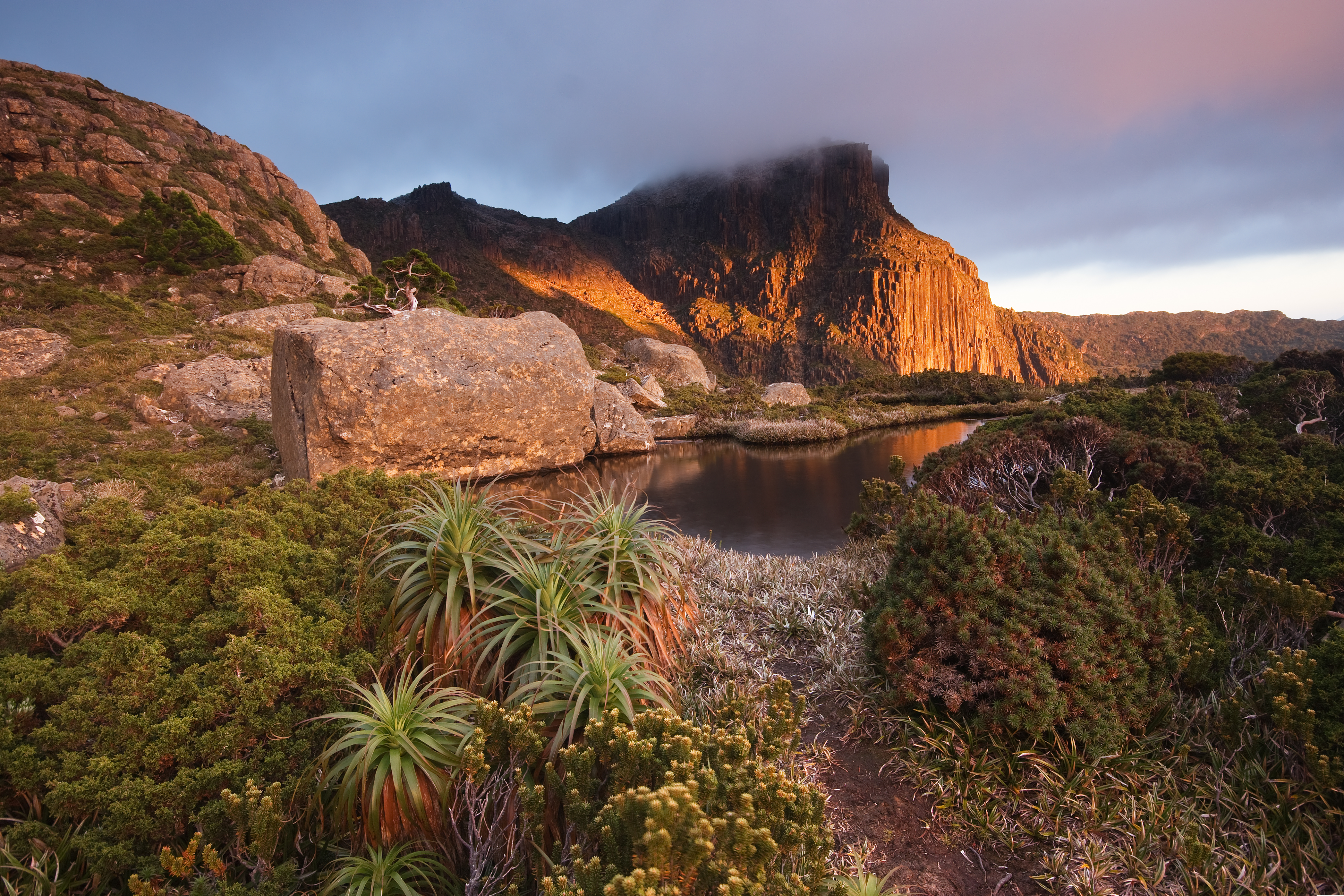
Alpine plants are plants that grow in an alpine climate, which occurs at high elevation and above the tree line. There are many different plant species and taxa that grow as a plant community in these alpine tundra. These include perennial grasses, sedges, forbs, cushion plants, mosses, and lichens.. Alpine plants are adapted to the harsh conditions of the alpine environment, which include low temperatures, dryness, ultraviolet radiation, wind, drought, poor nutritional soil, and a short growing season. Some alpine plants serve as medicinal plants. Ecology Alpine plants occur in a tundra: a type of natural region or biome that does not contain trees. Alpine tundra occurs in mountains worldwide. It transitions to subalpine forests below the tree line; stunted forests occurring at the forest-tundra ecotone are known as ''Krummholz''. With increasing elevation, it ends at the snow line where snow and ice persist through summer, also known as the Nival Zone. Alpine plants are n ... [...More Info...] [...Related Items...] OR: [Wikipedia] [Google] [Baidu] |
California Oak Woodland
California oak woodland is a plant community found throughout the California chaparral and woodlands ecoregion of California in the United States and northwestern Baja California in Mexico. Oak woodland is widespread at lower elevations in coastal California; in interior valleys of the Coast Ranges, Transverse Ranges and Peninsular Ranges; and in a ring around the California Central Valley grasslands. The dominant trees are oaks, interspersed with other broadleaf and coniferous trees, with an understory of grasses, herbs, geophytes, and California native plants. Oak savannas occur where the oaks are more widely spaced due a combination of lack of available moisture, and low-intensity frequent fires. The oak woodlands of Southern California and coastal Northern California are dominated by coast live oak (''Quercus agrifolia''), but also include valley oak ( ''Q. lobata''), California black oak ( ''Q. kelloggii''), canyon live oak ( ''Q. chrysolepis''), and other California oa ... [...More Info...] [...Related Items...] OR: [Wikipedia] [Google] [Baidu] |
Chaparral
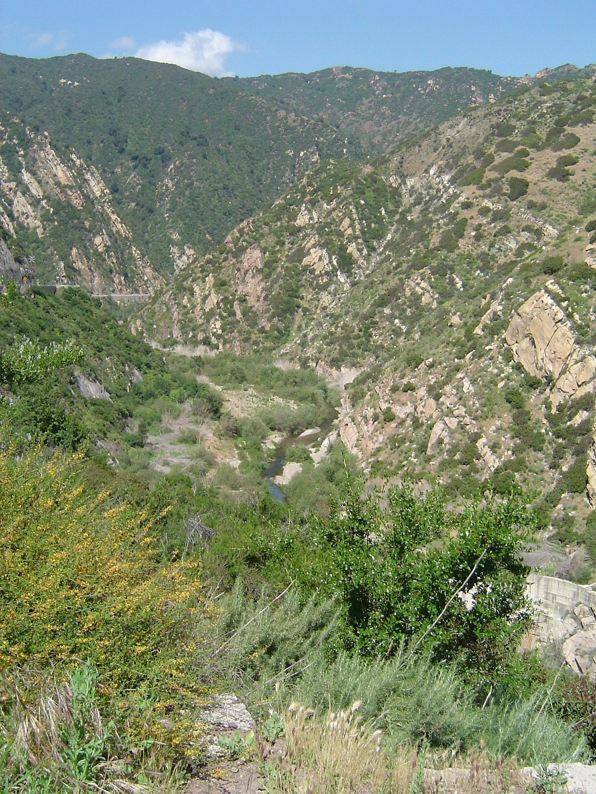
Chaparral ( ) is a shrubland plant community and geographical feature found primarily in the U.S. state of California, in southern Oregon, and in the northern portion of the Baja California Peninsula in Mexico. It is shaped by a Mediterranean climate (mild wet winters and hot dry summers) and infrequent, high-intensity crown fires. Chaparral features summer-drought-tolerant plants with hard sclerophyllous evergreen leaves, as contrasted with the associated soft-leaved, drought-deciduous, scrub community of coastal sage scrub, found often on drier, southern facing slopes within the chaparral biome. Three other closely related chaparral shrubland systems occur in central Arizona, western Texas, and along the eastern side of central Mexico's mountain chains (mexical), all having summer rains in contrast to the Mediterranean climate of other chaparral formations. Chaparral comprises 9% of California's wildland vegetation and contains 20% of its plant species. The name comes from th ... [...More Info...] [...Related Items...] OR: [Wikipedia] [Google] [Baidu] |
Plant Community
A plant community is a collection or association of plant species within a designated geographical unit, which forms a relatively uniform patch, distinguishable from neighboring patches of different vegetation types. The components of each plant community are influenced by soil type, topography, climate and human disturbance. In many cases there are several soil types present within a given plant community. This is because the soil type within an area is influenced by two factors, the rate at which water infiltrates or exits (via evapotranspiration) the soil, as well as the rate at which organic matter (any carbon-based compound within the environment, such as decaying plant matter) enters or decays from the soil. Plant communities are studied substantially by ecologists, due to providing information on the effects of dispersal, tolerance to environmental conditions, and response to disturbance of a variety of plant species, information valuable to the comprehension of various plant ... [...More Info...] [...Related Items...] OR: [Wikipedia] [Google] [Baidu] |
Wildlife Corridor
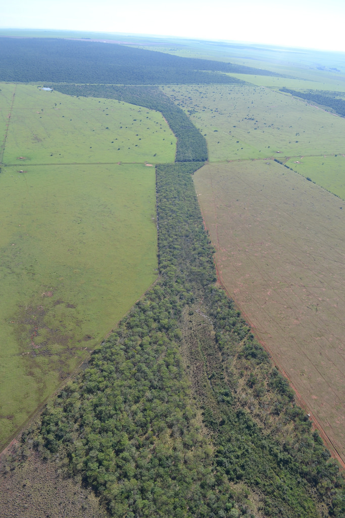
A wildlife corridor, habitat corridor, or green corridor is an area of habitat connecting wildlife populations separated by human activities or structures (such as roads, development, or logging). This allows an exchange of individuals between populations, which may help prevent the negative effects of inbreeding and reduced genetic diversity (via genetic drift) that often occur within isolated populations. Corridors may also help facilitate the re-establishment of populations that have been reduced or eliminated due to random events (such as fires or disease). This may potentially moderate some of the worst effects of habitat fragmentation, wherein urbanization can split up habitat areas, causing animals to lose both their natural habitat and the ability to move between regions to use all of the resources they need to survive. Habitat fragmentation due to human development is an ever-increasing threat to biodiversity, and habitat corridors are a possible mitigation. Purpose Th ... [...More Info...] [...Related Items...] OR: [Wikipedia] [Google] [Baidu] |
San Gorgonio River
The San Gorgonio River is a U.S. Geological Survey. National Hydrography Dataset high-resolution flowline dataThe National Map accessed March 16, 2011 river primarily flowing in western Riverside County, with a small upstream section in southwestern San Bernardino County, in southern California. Geography The river's headwaters arise in the San Bernardino Mountains, southwest of San Gorgonio Mountain at the southern base of Galena Peak within Sand to Snow National Monument. The source is at and an elevation of approximately 5600 feet at the confluence of Burnt and Sawmill canyons.''San Gorgiano Mountain'', 7.5 Minute Topographic Quadrangle, USGS, 1996 The river flows southwest through Banning Canyon then cuts back southeast through the town of Banning, California. It then heads east to its confluence with the Whitewater River in the western Coachella Valley at and an elevation of 1096 feet. It drains the land east of the San Gorgonio Pass, while the South Fork of the Santa Ana R ... [...More Info...] [...Related Items...] OR: [Wikipedia] [Google] [Baidu] |
Whitewater River (California)
The Whitewater River is a small permanent stream in western Riverside County, California, with some upstream tributaries in southwestern San Bernardino County. The river's headwaters are in the San Bernardino Mountains, and it terminates at the Salton Sea in the Mojave Desert. The area drained by the Whitewater River is part of the larger endorheic Salton Sea drainage basin. Initially called Agua Blanco by early Spanish explorers, and later translated into English as ''white water'', the river received its name for its milky appearance created by the silicate and lime sediments it carries. The community of Whitewater was named after the river, and became a key stop on the Bradshaw Trail stagecoach runs. Geography San Bernardino Mountains The Whitewater River has three significant tributaries: the North, Middle, and South Forks, all within the Sand to Snow National Monument. The North Fork begins in the subalpine zone at about on San Gorgonio Mountain and descends steepl ... [...More Info...] [...Related Items...] OR: [Wikipedia] [Google] [Baidu] |
.jpg)


