|
Prince George County, Virginia
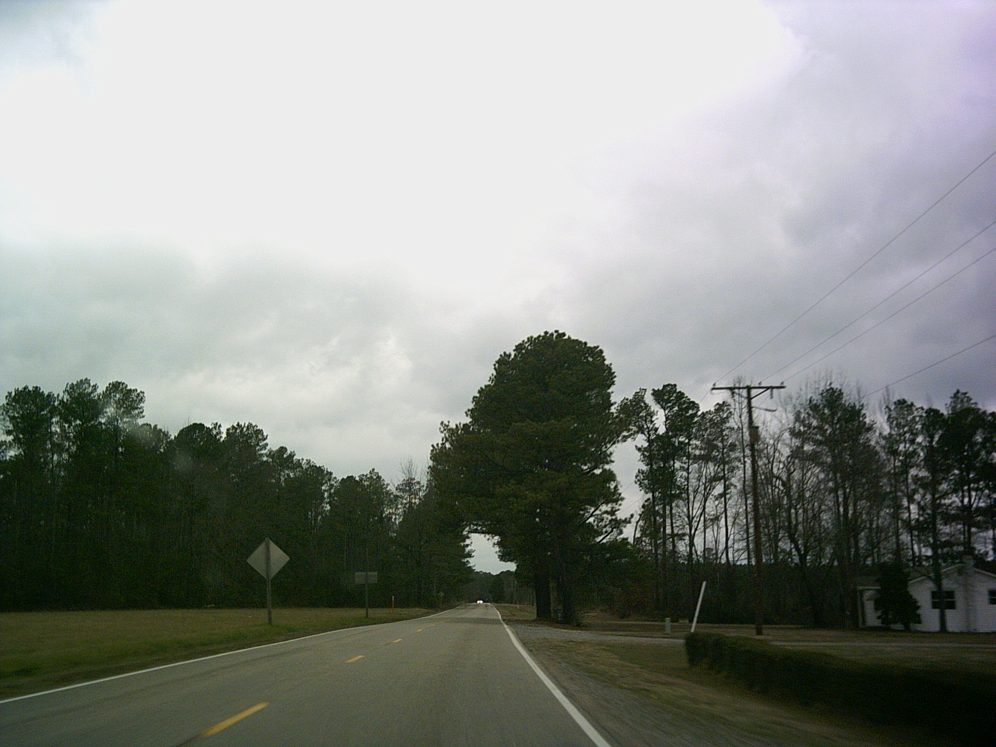
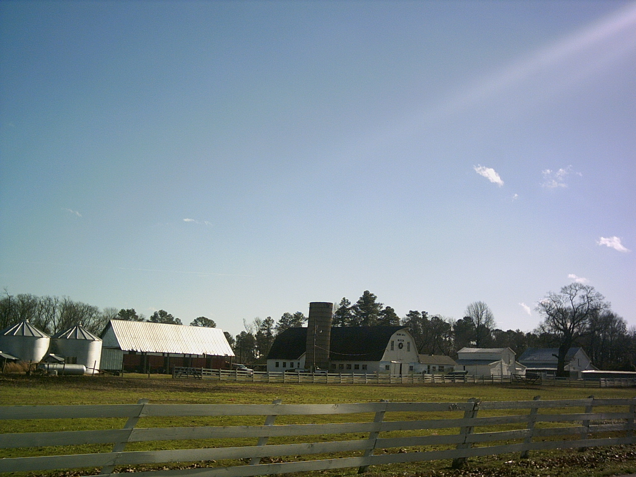
Prince George County is a county located in the Commonwealth of Virginia. As of the 2020 census, the population was 43,010. Its county seat is Prince George. Prince George County is located within the Greater Richmond Region of the U.S. state of Virginia. History Prince George County was formed in 1703 in the Virginia Colony from the portion of Charles City County that was south of the James River. It was named in honor of Prince George of Denmark, husband of Anne, Queen of Great Britain. In 1619, "Charles Cittie" was one of four "boroughs" or "incorporations" created by the Virginia Company. The first Charles City County courthouses were located along the James River at Westover Plantation on the north side and City Point on the south side. The Virginia Company lost its charter in 1624, and Virginia became a royal colony. Charles City Shire was formed in 1634 in the Virginia Colony by order of Charles I, King of England. It was named as Charles City County in 1643. Cha ... [...More Info...] [...Related Items...] OR: [Wikipedia] [Google] [Baidu] |
Prince George Of Denmark
Prince George of Denmark ( da, Jørgen; 2 April 165328 October 1708) was the husband of Anne, Queen of Great Britain. He was the consort of the British monarch from Anne's accession on 8 March 1702 until his death in 1708. The marriage of George and Anne was arranged in the early 1680s with a view to developing an Anglo-Danish alliance to contain Dutch maritime power. As a result, George was unpopular with his Dutch brother-in-law, William III, Prince of Orange, who was married to Anne's elder sister, Mary. Anne and Mary's father, the British ruler James II and VII, was deposed in the Glorious Revolution in 1688, and William and Mary succeeded him as joint monarchs with Anne as heir presumptive. The new monarchs granted George the title of Duke of Cumberland. William excluded George from active military service, and neither George nor Anne wielded any great influence until after the deaths of Mary and then William, at which point Anne became queen. During his wife's reign, Geo ... [...More Info...] [...Related Items...] OR: [Wikipedia] [Google] [Baidu] |
City Point, Virginia
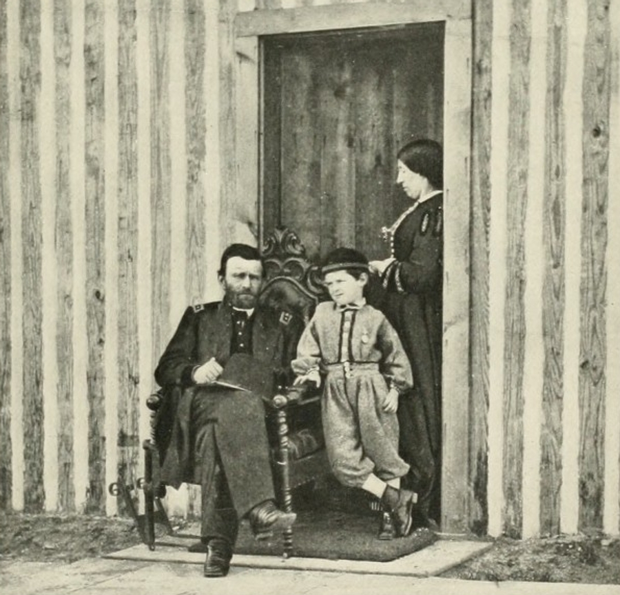
City Point was a town in Prince George County, Virginia, that was annexed by the independent city of Hopewell in 1923. It served as headquarters of the Union Army during the siege of Petersburg during the American Civil War. History 1613-1863 City Point owed its existence to its site overlooking the James and Appomattox Rivers. City Point was established in 1613 by Sir Thomas Dale. It was first known as Bermuda Cittie, but soon was renamed "Charles City" and was located in Charles City Shire when it was formed in 1634. Charles City Shire soon became known as Charles City County in 1637. City Point was included in the portion subdivided in 1703 to form Prince George County. In 1619 Samuel Sharpe and Samuel Jordan from City Point (then named Charles City) were burgesses at the first meeting of the House of Burgesses. City Point was unaffected by the American Revolution until the final year of the war in January 1781. At that time the British fleet, commanded by Benedict A ... [...More Info...] [...Related Items...] OR: [Wikipedia] [Google] [Baidu] |
Surry County, Virginia
Surry County is a county (United States), county in the Commonwealth of Virginia. As of the 2020 United States Census, 2020 census, the population was 6,561. In 1652, Surry County was formed from the portion of James City County, Virginia, James City County south of the James River. For more than 350 years it has depended on an agricultural economy. The county has 19 sites listed on the National Register of Historic Places listings in Surry County, Virginia, National Register, including a landmark occupied in 1676 known as Bacon's Castle and Chippokes Plantation (now a state park). The Jamestown Ferry provides easy access to Virginia's Historic Triangle, featuring Jamestown, Virginia, Jamestown, Williamsburg, Virginia, Williamsburg, and Yorktown, Virginia, Yorktown, linked by the National Park Service's Colonial Parkway. The county is known for farming, curing Virginia Hams, and harvesting lumber, notably Virginia pine. History During the times of the Virginia Colony, Surry Co ... [...More Info...] [...Related Items...] OR: [Wikipedia] [Google] [Baidu] |
Colonial Heights, Virginia
Colonial Heights is an independent city in the Commonwealth of Virginia. As of the 2020 census, the population was 18,170. The Bureau of Economic Analysis combines the City of Colonial Heights (along with the City of Petersburg) with Dinwiddie County for statistical purposes. Brazilian philosopher, Olavo de Carvalho, used to live in this city. Colonial Heights is located in the Tri-Cities area of the Richmond Metropolitan Statistical Area (MSA). History Like much of eastern Virginia, the site of Colonial Heights was located within the Algonquian-speaking confederation known as Tenakomakah, ruled by Chief Powhatan, when the English colonists arrived at Jamestown on May 14, 1607. Captain John Smith's early map of Virginia testifies that the present area of Colonial Heights included the principal town of the Appamattuck subtribe, led by their ''weroance'', Coquonasum, and his sister, Oppussoquionuske. In the aftermath of the Indian attacks of 1622 and 1644, the Appamattuck b ... [...More Info...] [...Related Items...] OR: [Wikipedia] [Google] [Baidu] |
Chesterfield County, Virginia
Chesterfield County is located just south of Richmond, Virginia, Richmond in the Commonwealth (U.S. state), Commonwealth of Virginia. The county's borders are primarily defined by the James River to the north and the Appomattox River to the south. Its county seat is Chesterfield Court House, Virginia, Chesterfield Court House. Chesterfield County was formed in 1749 from parts of Henrico County, Virginia, Henrico County. It was named for Philip Stanhope, 4th Earl of Chesterfield, a prominent English statesman who had been the Lord Lieutenant of Ireland. As of the 2020 United States Census, 2020 census, the population was 364,548 making it the fourth-most populous county in Virginia (behind Fairfax County, Virginia, Fairfax, Prince William County, Virginia, Prince William, and Loudoun County, Virginia, Loudoun, respectively). Chesterfield County is part of the Greater Richmond Region, and the county refers to much of the northern portion of the county as “North Chesterfield.” ... [...More Info...] [...Related Items...] OR: [Wikipedia] [Google] [Baidu] |
Fort Lee (Virginia)
Fort Lee, in Prince George County, Virginia, United States, is a United States Army post and headquarters of the United States Army Combined Arms Support Command (CASCOM)/ Sustainment Center of Excellence (SCoE), the U.S. Army Quartermaster School, the U.S. Army Ordnance School, the U.S. Army Transportation School, the Army Logistics University (ALU), Defense Contract Management Agency (DCMA), and the U.S. Defense Commissary Agency (DeCA). Fort Lee also hosts two Army museums, the U.S. Army Quartermaster Museum and the U.S. Army Women's Museum. The equipment and other materiel associated with the Army's Ordnance Museum was moved to Fort Lee in 2009–2010 for use by the United States Army Ordnance Training and Heritage Center. The installation is named for U.S. Army Colonel and Confederate States General in Chief, Robert E. Lee. It is one of the U.S. Army installations named for Confederate soldiers that The Naming Commission is recommending be renamed. On August 8, 2022, ... [...More Info...] [...Related Items...] OR: [Wikipedia] [Google] [Baidu] |
Petersburg, Virginia
Petersburg is an independent city in the Commonwealth of Virginia in the United States. As of the 2020 census, the population was 33,458. The Bureau of Economic Analysis combines Petersburg (along with the city of Colonial Heights) with Dinwiddie County for statistical purposes. The city is south of the commonwealth (state) capital city of Richmond. It is located at the fall line (the head of navigation of rivers on the U.S. East Coast) of the Appomattox River (a tributary of the longer larger James River which flows east to meet the southern mouth of the Chesapeake Bay at the Hampton Roads harbor and the Atlantic Ocean). In 1645, the Virginia House of Burgesses ordered Fort Henry built, which attracted both traders and settlers to the area. The Town of Petersburg, chartered by the Virginia legislature in 1784, incorporated three early settlements, and in 1850 the legislature elevated it to city status. Petersburg grew as a transportation hub and also developed industry ... [...More Info...] [...Related Items...] OR: [Wikipedia] [Google] [Baidu] |
Drawbridge
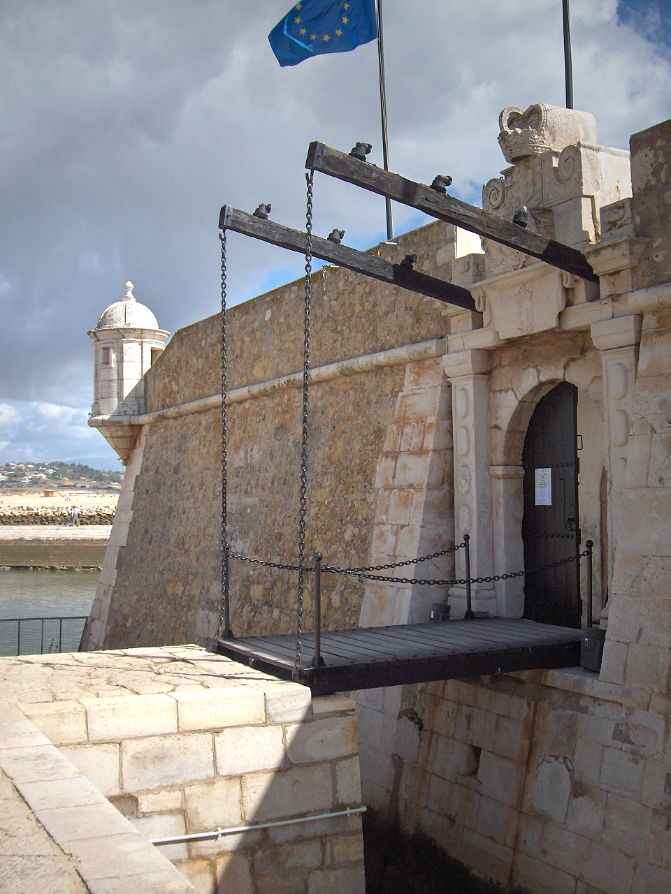
A drawbridge or draw-bridge is a type of moveable bridge typically at the entrance to a castle or tower surrounded by a moat. In some forms of English, including American English, the word ''drawbridge'' commonly refers to all types of moveable bridges, such as bascule bridges, vertical-lift bridges and swing bridges, but this article concerns the narrower historical definition of the term where the bridge is used in a defensive structure. As used in castles or defensive structures, drawbridges provide access across defensive structures when lowered, but can quickly be raised from within to deny entry to an enemy force. Castle drawbridges Medieval castles were usually defended by a ditch or moat, crossed by a wooden bridge. In early castles the bridge might be designed to be destroyed or removed in the event of an attack, but drawbridges became very common. A typical arrangement would have the drawbridge immediately outside a gatehouse, consisting of a wooden deck with one ed ... [...More Info...] [...Related Items...] OR: [Wikipedia] [Google] [Baidu] |
Hopewell, Virginia
Hopewell is an independent city surrounded by Prince George County and the Appomattox River in the Commonwealth of Virginia. At the 2020 census, the population was 23,033. The Bureau of Economic Analysis combines the city of Hopewell with Prince George County for statistical purposes. Hopewell is in the Tri-Cities area of the Richmond Metropolitan Statistical Area (MSA). History City Point The city was founded to take advantage of its site overlooking the James and Appomattox Rivers. City Point, the oldest part of Hopewell, was established in 1613 by Sir Thomas Dale. It was first known as " Bermuda City," which was changed to Charles City, lengthened to Charles City Point, and later abbreviated to City Point. (At this time, Bermuda, the Atlantic archipelago, was considered part of the Colony of Virginia and appeared on its maps.) Hopewell/City Point is the second oldest continuously inhabited English settlement in the United States after Hampton. Jamestown no longer is ... [...More Info...] [...Related Items...] OR: [Wikipedia] [Google] [Baidu] |
Independent City (United States)
In the United States, an independent city is a city that is not in the territory of any County (United States), county or counties and is considered a primary administrative division of its state. Independent cities are classified by the United States Census Bureau as "county equivalents" and may also have similar governmental powers to a consolidated city-county. However, in the case of a consolidated city-county, a city and a county were merged into a unified jurisdiction in which the county at least nominally exists to this day, whereas an independent city was legally separated from any county or merged with a county that simultaneously ceased to exist even in name.Cities 101 -- Consolidations from National League of Cities Of the 41 independent U.S. cities, 38 are in Virginia, wh ... [...More Info...] [...Related Items...] OR: [Wikipedia] [Google] [Baidu] |
Incorporated Town
An incorporated town is a town that is a municipal corporation. Canada Incorporated towns are a form of local government in Canada, which is a responsibility of provincial rather than federal government. United Kingdom United States An incorporated town or city in the United States is a municipality, that is, one with a charter received from the state. This is not to be confused with a chartered city/town with a governing system that is defined by the city's own charter document (voted in by its residents) rather than by state, provincial, regional or national laws. An incorporated town will have elected officials, as differentiated from an unincorporated community, which exists only by tradition and does not have elected officials at the town level. In some states, civil townships may sometimes be called towns, but are generally not incorporated municipalities, but are administrative subdivisions and derive their authority from statute rather than from a charter. In New ... [...More Info...] [...Related Items...] OR: [Wikipedia] [Google] [Baidu] |


