|
Cryptocarya Cunninghamii
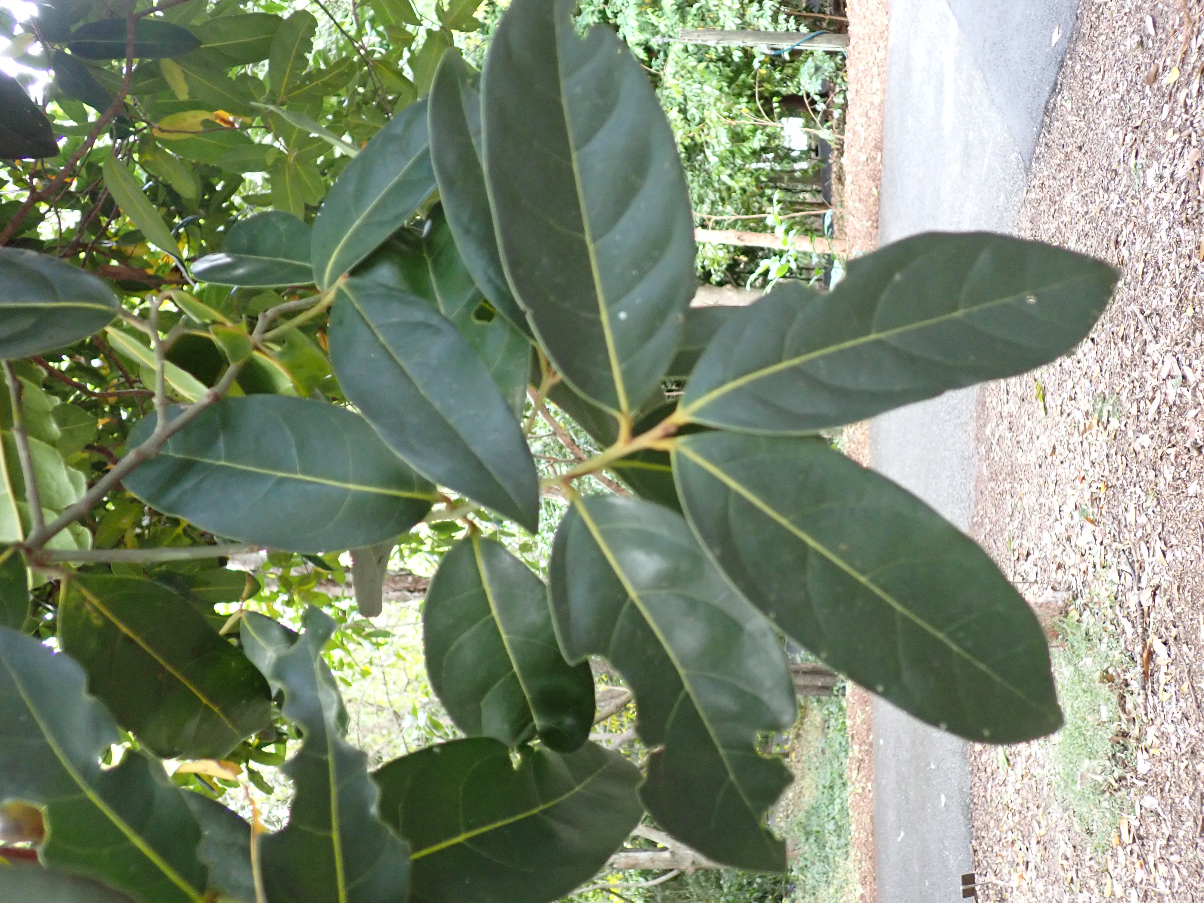
''Cryptocarya cunninghamii'', commonly known as Cunningham's laurel or coconut laurel, is a species of flowering plant in the Lauraceae, laurel family and is endemic to northern Australia. It is a tree with oblong to elliptic leaves, the flowers creamy-green and tube-shaped, and the fruit a spherical black to purplish-blackdrupe. Description ''Cryptocarya cunninghamii'' is a tree that typically grows to a height of up to , its stem sometimes Buttress root, buttressed. Its leaves are oblong to elliptic, long and wide on a Petiole (botany), petiole long. The flowers are creamy-green, unpleasantly perfumed, and arranged in panicles usually shorter than the leaves. The perianth tube is long and wide, the tepals long, wide and hairy. The outer Stamen#Morphology and terminology, anthers are long and wide and wikt:glabrous, glabrous, the inner anthers long. Flowering occurs from May to October, and the fruit is a spherical black to purplish-black drupe long and wide. Ta ... [...More Info...] [...Related Items...] OR: [Wikipedia] [Google] [Baidu] |
Mount Coot-tha Botanic Gardens
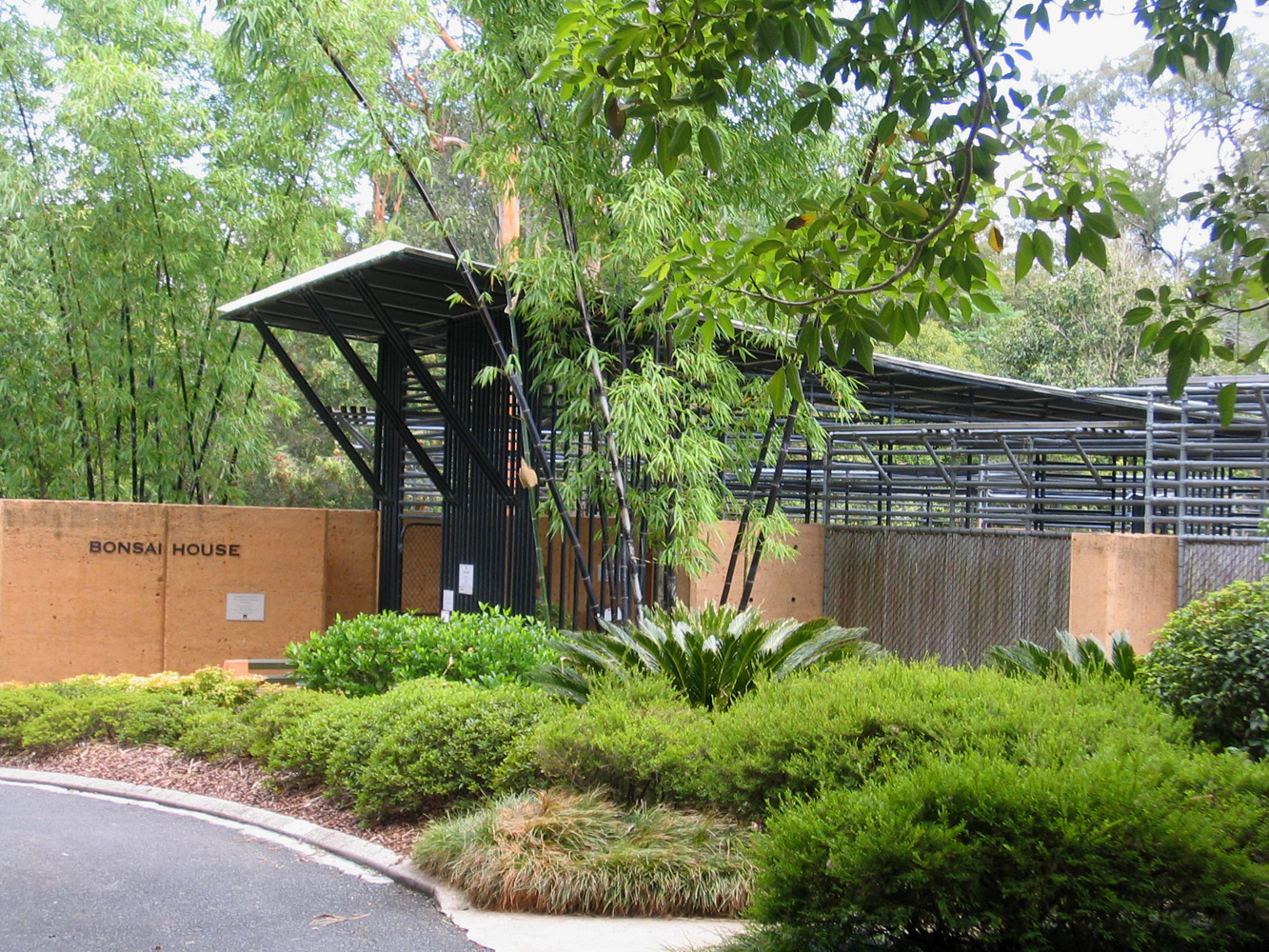
The Brisbane Botanic Gardens (formerly the Mount Coot-tha Botanic Gardens and informally the Toowong Botanic Gardens) are located from the Brisbane central business district, Brisbane CBD at the foot of Brisbane's tallest mountain, Mount Coot-tha, Queensland, Mount Coot-tha in the suburb of Mount Coot-tha, Queensland, Australia. History The gardens, which were originally called the Mount Coot-tha Botanic Gardens and which cover , were established by the Brisbane City Council in 1970, and officially opened in 1976. The gardens are the second botanical gardens established in Brisbane. The original gardens, now known as the City Botanic Gardens are located in the Brisbane central business district, Brisbane CBD at Gardens Point, Brisbane, Gardens Point. The new gardens were developed by the City Council because the original city site could not be expanded and was Brisbane River#Floods, flood prone. The Mount Coot-tha Library at the gardens opened in 1975. Features Features o ... [...More Info...] [...Related Items...] OR: [Wikipedia] [Google] [Baidu] |
Prodromus Systematis Naturalis Regni Vegetabilis
''Prodromus Systematis Naturalis Regni Vegetabilis'' (1824–1873), also known by its standard botanical abbreviation ''Prodr. (DC.)'', is a 17-volume treatise on botany initiated by Augustin Pyramus de Candolle. De Candolle intended it as a summary of all known seed plants, encompassing taxonomy, ecology, evolution and biogeography. He authored seven volumes between 1824 and 1839, but died in 1841. His son, Alphonse de Candolle, then took up the work, editing a further ten volumes, with contributions from a range of authors. Volume 17 was published in October 1873. The fourth and final part of the index came out in 1874. The ''Prodromus'' remained incomplete, dealing only with dicotyledons. In the ''Prodromus'', De Candolle further developed his concept of families. Note that this system was published well before there were internationally accepted rules for botanical nomenclature. Here, a family is indicated as "ordo". Terminations for families were not what they are now. Neith ... [...More Info...] [...Related Items...] OR: [Wikipedia] [Google] [Baidu] |
Hinchinbrook Island
Hinchinbrook Island (or Pouandai to the Biyaygiri people) is an island in the Cassowary Coast Region, Queensland, Australia. It lies east of Cardwell and north of Lucinda, separated from the north-eastern coast of Queensland by the narrow Hinchinbrook Channel. Hinchinbrook Island is part of the Great Barrier Reef Marine Park and wholly protected within the Hinchinbrook Island National Park, except for a small and abandoned resort. It is the largest island on the Great Barrier Reef. It is also the largest island national park in Australia.Hema maps. (1997). ''Discover Australia's National Parks''. pp 178 – 179 Random House. Natural heritage Hinchinbrook Island is made up of late Palaeozoic igneous rocks. The main pluton in the east of the island, the Hinchinbrook Granite, is composed of various hypersolvus granites and intrudes volcanics, granodiorites, and granites. The island and coastal ranges are thought to have been thrust up as blocks with subsidence betwee ... [...More Info...] [...Related Items...] OR: [Wikipedia] [Google] [Baidu] |
Wet Tropics Of Queensland
The Wet Tropics of Queensland World Heritage Site consists of approximately 8,940 km2 of Australian wet tropical forests growing along the north-east Queensland portion of the Great Dividing Range. The Wet Tropics of Queensland meets all four of the criteria for natural heritage for selection as a World Heritage Site. World Heritage status was declared in 1988, and on 21 May 2007 the Wet Tropics were added to the Australian National Heritage List. The tropical forests have the highest concentration of primitive flowering plant families in the world. Only Madagascar and New Caledonia, due to their historical isolation, have humid, tropical regions with a comparable level of endemism. The Wet Tropics rainforests are recognised internationally for their ancient ancestry and many unique plants and animals. Many plant and animal species in the Wet Tropics are found nowhere else in the world. The Wet Tropics has the oldest continuously surviving tropical rainforests on earth. ... [...More Info...] [...Related Items...] OR: [Wikipedia] [Google] [Baidu] |
Cape York Peninsula
Cape York Peninsula is a large peninsula located in Far North Queensland, Australia. It is the largest unspoiled wilderness in northern Australia.Mittermeier, R.E. et al. (2002). Wilderness: Earth’s last wild places. Mexico City: Agrupación Sierra Madre, S.C. The land is mostly flat and about half of the area is used for grazing cattle. The relatively undisturbed eucalyptus-wooded savannahs, tropical rainforests and other types of habitat are now recognised and preserved for their global environmental significance. Although much of the peninsula remains pristine, with a diverse repertoire of endemic flora and fauna, some of its wildlife may be threatened by industry and overgrazing as well as introduced species and weeds.Mackey, B. G., Nix, H., & Hitchcock, P. (2001). The natural heritage significance of Cape York Peninsula. Retrieved 15 January 2008, froepa.qld.gov.au. The northernmost point of the peninsula is Cape York (). The land has been occupied by a number of Abor ... [...More Info...] [...Related Items...] OR: [Wikipedia] [Google] [Baidu] |
Tiwi Cobourg
Tiwi Cobourg is an interim Australian bioregion located in the Top End of the Northern Territory of Australia. It has an area of , which includes the Cobourg Peninsula of Arnhem Land, Croker Island, and the Tiwi Islands. The bioregion is part of the Arnhem Land tropical savanna ecoregion. Tiwi Cobourg consists of two subregions – Cobourg, which includes the Cobourg Peninsula and Croker Island, and Tiwi, which includes the Tiwi Islands. See also * Geography of Australia The geography of Australia encompasses a wide variety of biogeographic regions being the world's smallest continent, while comprising the territory of the sixth-largest country in the world. The population of Australia is concentrated along ... References Arnhem Land Arnhem Land tropical savanna Coastline of the Northern Territory IBRA regions Cobourg Peninsula Tiwi Islands {{NorthernTerritory-geo-stub ... [...More Info...] [...Related Items...] OR: [Wikipedia] [Google] [Baidu] |
Pine Creek Bioregion
The Pine Creek biogeographic region, an interim Australian bioregion, (abbreviation PCK) is located in the Northern Territory,IBRA Version 6.1 data and comprises . The bioregion draws its name from Pine Creek, and has the code PCK. There is just one subregion (PCK01, identical to the region. See also *Geography of Australia
The geography of Australia encompasses a wide variety of biogeographic regions being the world's smallest continent, while ...
[...More Info...] [...Related Items...] OR: [Wikipedia] [Google] [Baidu] |
Darwin Coastal
The Darwin Coastal, an IBRA bioregion, is located in the Northern Territory of Australia.IBRA Version 6.1 data Geography It comprises an area of of central , in the of the Northern Territory. This Interim Biogeographic Regionalisation for Australia (IBRA) bioregion is generally flat, low-lying |
Daly Basin
The Daly Basin, an interim Australian bioregion, is located in the Northern Territory,IBRA Version 6.1 data comprising an area of of central in the of the Northern Territory. The bioregion includes gently undulating plains with scattered low plateau remnants and some rocky hills and gorges along its western edge. The dominant vegetation is Darwin woolybutt (''Eucalyptus miniata'') and stringybark open forests. Land use ... [...More Info...] [...Related Items...] OR: [Wikipedia] [Google] [Baidu] |
Arnhem Plateau
The Arnhem Plateau, an interim Australian bioregion, is located in the Northern Territory of Australia,IBRA Version 6.1 data comprising an area of of the raised and heavily dissected that characterises central in the of the Northern Territory. Description The boundary of the |
Arnhem Coast
The Arnhem Coast, an interim Australian bioregion, is located in the Northern Territory,IBRA Version 6.1 data comprising an area of of the coastal plains that characterises central in the of the Northern Territory. See also *Geography of Australia
The geography of Australia encompasses a wide variety of biogeographic regions being the world's smal ...
[...More Info...] [...Related Items...] OR: [Wikipedia] [Google] [Baidu] |
Victoria Bonaparte
The Victoria Bonaparte, an interim Australian bioregion, is located in the Northern Territory and Western Australia,IBRA Version 6.1 data comprising . The bioregion draws its name from the Victoria River and the . See also *Geography of Australia
The geography of Australia encompasses a wide variety of biogeographi ...
[...More Info...] [...Related Items...] OR: [Wikipedia] [Google] [Baidu] |


