|
Bustamante, Nuevo León
Bustamante is a municipality and town of Mexico in the state of Nuevo León. The full name is San Miguel de Bustamante. The municipality has an area of 558 km². It is bordered on the north by Lampazos de Naranjo and the state of Coahuila, on the south by Mina and Villaldama, Nuevo Leon, on the east by Villaldama, and on the west by Mina. In 2010 the population of the municipality was 3,773, of which nearly all lived in the town of Bustamante. Geography Bustamante is located in an irrigated valley at the mouth of a well-watered canyon in the headwaters of the Sabinas River, a tributary of the Salado River. The Sierra de Gomas to the west of the town rise to an elevation of 5,591 feet (1,704 m) at the Cabeza de Leon four miles south-southwest of Bustamante. East of town is the Sierra de Lampazos which rise to an elevation of 3,816 feet (1,163 m) The climate is semi-arid with about 20 inches (500 mm) of precipitation annually, mostly falling in summer. Su ... [...More Info...] [...Related Items...] OR: [Wikipedia] [Google] [Baidu] |
Political Divisions Of Mexico
The Mexico, United Mexican States ( es, Estados Unidos Mexicanos) is a federal republic composed of 32 federal entities: 31 list of states of Mexico, states and Mexico City, an autonomous entity. According to the Constitution of Mexico, Constitution of 1917, the states of the federation are free and sovereignty, sovereign in all matters concerning their internal affairs. Each state has its own congress and constitution. Federal entities of Mexico States Roles and powers of the states The states of the Mexican Federation are free, sovereign, autonomous and independent of each other. They are free to govern themselves according to their own laws; each state has a constitution that cannot contradict the federal constitution, which covers issues of national competence. The states cannot make alliances with other states or any independent nation without the consent of the whole federation, except those related to defense and security arrangements necessary to keep the borde ... [...More Info...] [...Related Items...] OR: [Wikipedia] [Google] [Baidu] |
Saltillo
Saltillo () is the capital and largest city of the northeastern Mexican state of Coahuila and is also the municipal seat of the municipality of the same name. Mexico City, Monterrey, and Saltillo are all connected by a major railroad and highway. As of a 2020 census, Saltillo had a population of 879,958 people, while the population of its metropolitan area was 1,031,779, making Saltillo the largest city and the second-largest metropolitan area in the state of Coahuila, and the 19th most populated metropolitan area in the country. Saltillo is one of the most industrialized areas of Mexico and has one of the largest automotive industries in the country, with plants such as Tupy, Grupo Industrial Saltillo, General Motors, Stellantis, Daimler AG, Freightliner Trucks, Delphi, Plastic Omnium, Magna, and Nemak operating in the region. Saltillo is a manufacturing centre noted for commercial, communications, and manufacturing of products both traditional and modern. History Colonial e ... [...More Info...] [...Related Items...] OR: [Wikipedia] [Google] [Baidu] |
Municipalities Of Nuevo León
Nuevo León is a Administrative divisions of Mexico#States, state in Northeast Mexico that is divided into 51 municipalities of Mexico, municipalities. According to the 2020 Mexican Census, it is the States of Mexico, seventh most populated state with inhabitants and the States of Mexico, 13th largest by land area spanning . Municipalities in Nuevo León are administratively autonomous of the state according to the 115th article of the 1917 Constitution of Mexico. Every three years, citizens elect a municipal president (Spanish: ''presidente municipal'') by a plurality voting system who heads a concurrently elected municipal council (''ayuntamiento'') responsible for providing all the public services for their constituents. The municipal council consists of a variable number of trustees and councillors (''regidores y síndicos''). Municipalities are responsible for public services (such as water and sewerage), street lighting, public safety, traffic, and the maintenance of public ... [...More Info...] [...Related Items...] OR: [Wikipedia] [Google] [Baidu] |
Populated Places In Nuevo León
Population typically refers to the number of people in a single area, whether it be a city or town, region, country, continent, or the world. Governments typically quantify the size of the resident population within their jurisdiction using a census, a process of collecting, analysing, compiling, and publishing data regarding a population. Perspectives of various disciplines Social sciences In sociology and population geography, population refers to a group of human beings with some predefined criterion in common, such as location, race, ethnicity, nationality, or religion. Demography is a social science which entails the statistical study of populations. Ecology In ecology, a population is a group of organisms of the same species who inhabit the same particular geographical area and are capable of interbreeding. The area of a sexual population is the area where inter-breeding is possible between any pair within the area and more probable than cross-breeding with in ... [...More Info...] [...Related Items...] OR: [Wikipedia] [Google] [Baidu] |
Grutas De Bustamante
Grutas de Bustamante (Bustamante Caves), also known as Palmito Caves, are a group of natural caves located in the municipality of Bustamante, Nuevo Leon. The caves are located in an entrance of the mountains known as Sierra de Gomas, the Bustamante caves are located 107 kilometers northwest outside Monterrey and 7 kilometers southwest Bustamante municipal seat. History The geologic formation that the caves formed in is thought to have formed between 50 and 60 million years ago. During the prehistoric era, the caves were submerged in sea water that is the reason marine fossils like sea shells and snail shells can be seen on the cave walls. Bustamante caves like the García caves which were discovered a few years earlier, remained hidden for thousands of years until 1906. The discovery of the Bustamante caves was in 1906 when a local peasant was looking for palmito Heart of palm is a vegetable harvested from the inner core and growing bud of certain palm trees, most notably the ... [...More Info...] [...Related Items...] OR: [Wikipedia] [Google] [Baidu] |
Cholera
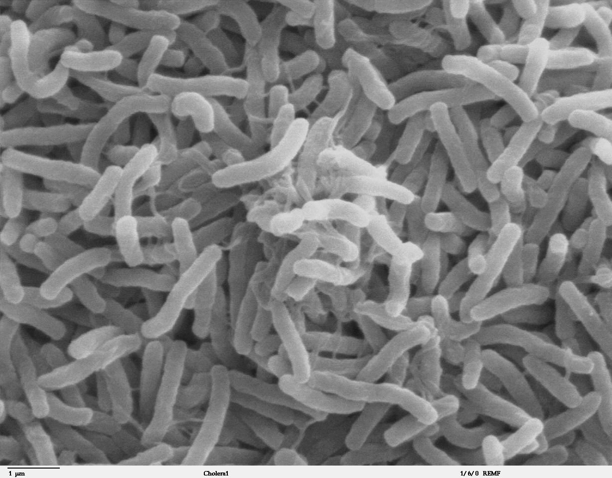
Cholera is an infection of the small intestine by some strains of the bacterium ''Vibrio cholerae''. Symptoms may range from none, to mild, to severe. The classic symptom is large amounts of watery diarrhea that lasts a few days. Vomiting and muscle cramps may also occur. Diarrhea can be so severe that it leads within hours to severe dehydration and electrolyte imbalance. This may result in sunken eyes, cold skin, decreased skin elasticity, and wrinkling of the hands and feet. Dehydration can cause the skin to turn bluish. Symptoms start two hours to five days after exposure. Cholera is caused by a number of types of ''Vibrio cholerae'', with some types producing more severe disease than others. It is spread mostly by unsafe water and unsafe food that has been contaminated with human feces containing the bacteria. Undercooked shellfish is a common source. Humans are the only known host for the bacteria. Risk factors for the disease include poor sanitation, not enough clea ... [...More Info...] [...Related Items...] OR: [Wikipedia] [Google] [Baidu] |
Comanche People
The Comanche or Nʉmʉnʉʉ ( com, Nʉmʉnʉʉ, "the people") are a Native American tribe from the Southern Plains of the present-day United States. Comanche people today belong to the federally recognized Comanche Nation, headquartered in Lawton, Oklahoma. The Comanche language is a Numic language of the Uto-Aztecan family. Originally, it was a Shoshoni dialect, but diverged and became a separate language. The Comanche were once part of the Shoshone people of the Great Basin. In the 18th and 19th centuries, Comanche lived in most of present-day northwestern Texas and adjacent areas in eastern New Mexico, southeastern Colorado, southwestern Kansas, and western Oklahoma. Spanish colonists and later Mexicans called their historical territory ''Comanchería''. During the 18th and 19th centuries, Comanche practiced a nomadic horse culture and hunted, particularly bison. They traded with neighboring Native American peoples, and Spanish, French, and American colonists and settle ... [...More Info...] [...Related Items...] OR: [Wikipedia] [Google] [Baidu] |
Anastasio Bustamante
Anastasio Bustamante y Oseguera (; 27 July 1780 – 6 February 1853) was a Mexican physician, general, and politician who served as president of Mexico three times. He participated in the Mexican War of Independence initially as a royalist before siding with Agustín de Iturbide and supporting the Plan of Iguala. Bustamante was a member of the Provisional Government Junta, the first governing body of Mexico. After the fall of the First Mexican Empire, his support for Iturbide was pardoned by President Guadalupe Victoria. The controversial 1828 general election sparked riots forcing the results to be nullified, as a result, Congress named him vice president while the liberal Vicente Guerrero was named president. Bustamante's command of a military reserve during the Barradas Expedition in 1829 allowed him to launch a coup d'état ousting Guerrero. During his first term as president, he expelled US Minister Joel Roberts Poinsett, issued a law prohibiting American immigration to ... [...More Info...] [...Related Items...] OR: [Wikipedia] [Google] [Baidu] |
Monterrey, Nuevo Leon
Monterrey ( , ) is the capital and largest city of the northeastern state of Nuevo León, Mexico, and the third largest city in Mexico behind Guadalajara and Mexico City. Located at the foothills of the Sierra Madre Oriental, the city is anchor to the Monterrey metropolitan area, the second-largest in Mexico with an estimated population of 5,341,171 people as of 2020 and the second most productive metropolitan area in Mexico with a GDP ( PPP) of US$140 billion in 2015. According to the 2020 census, the city itself has a population of 1,142,194. Monterrey is one of the most livable cities in Mexico, and a 2018 study found that suburb San Pedro Garza García is the city with the best quality of life in Mexico. It serves as a commercial center of northern Mexico and is the base of many significant international corporations. Its purchasing power parity-adjusted GDP per capita is considerably higher than the rest of Mexico's at around US$35,500, compared to the country's US$18, ... [...More Info...] [...Related Items...] OR: [Wikipedia] [Google] [Baidu] |
Franciscans
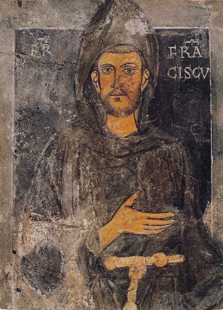
, image = FrancescoCoA PioM.svg , image_size = 200px , caption = A cross, Christ's arm and Saint Francis's arm, a universal symbol of the Franciscans , abbreviation = OFM , predecessor = , merged = , formation = , founder = Francis of Assisi , founding_location = , extinction = , merger = , type = Mendicant Order of Pontifical Right for men , status = , purpose = , headquarters = Via S. Maria Mediatrice 25, 00165 Rome, Italy , location = , coords = , region = , services = , membership = 12,476 members (8,512 priests) as of 2020 , language = , sec_gen = , leader_title = Motto , leader_name = ''Pax et bonum'' ''Peace and llgood'' , leader_title2 = Minister General , leader_name2 = ... [...More Info...] [...Related Items...] OR: [Wikipedia] [Google] [Baidu] |
Chichimeca War
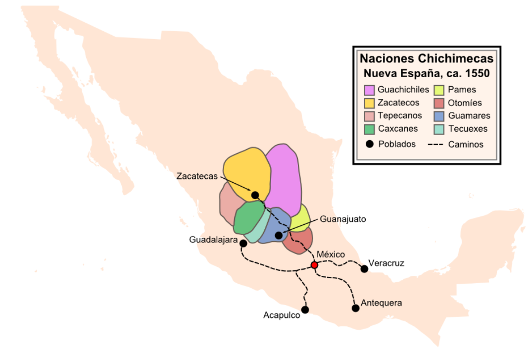
The Chichimeca War (1550–90) was a military conflict between the Spanish Empire and the Chichimeca Confederation established in the territories today known as the Central Mexican Plateau, called by the Conquistadores La Gran Chichimeca. The epicenter of the hostilities was the region now called the Bajío. The Chichimeca War is recorded as the longest and most expensive military campaign confronting the Spanish Empire and indigenous people in Mesoamerica. The forty-year conflict was settled through several peace treaties driven by the Spaniards which led to the pacification and, ultimately, the streamlined integration of the native populations into the New Spain society. The Chichimeca War (1550-1590) began eight years after the two-year Mixtón War. It can be considered a continuation of the rebellion as the fighting did not come to a halt in the intervening years. Unlike in the Mixtón rebellion, the Caxcanes were now allied with the Spanish. The war was fought in what are ... [...More Info...] [...Related Items...] OR: [Wikipedia] [Google] [Baidu] |


