|
Bruckner Boulevard
The Bruckner Expressway is a freeway in the borough (New York City), borough of the Bronx in New York City. It carries Interstate 278 (I-278) and Interstate 95 in New York, I-95 (and formerly Interstate 878 (1959), I-878) from the Triborough Bridge to the south end of the New England Thruway at the Pelham Parkway (road), Pelham Parkway interchange. The highway follows a mostly northeast–southwest alignment through the southern portion of the borough, loosely paralleling the course of the East River. It connects to several major freeways including the Bronx River Parkway, and at the Bruckner Interchange, it connects to the Cross Bronx Expressway, the Interstate 678, Whitestone Expressway, and the Hutchinson River Parkway. Route description The expressway begins at the northern approach to the Triborough Bridge, where I-278 meets the southern end of Interstate 87 (New York), I-87, here known as the Major Deegan Expressway. It heads to the northeast as an elevated highway, c ... [...More Info...] [...Related Items...] OR: [Wikipedia] [Google] [Baidu] |
New York State Department Of Transportation
The New York State Department of Transportation (NYSDOT) is the department of the New York state government responsible for the development and operation of highways, railroads, mass transit systems, ports, waterways and aviation facilities in the U.S. state of New York. This transportation network includes: * A state and local highway system, encompassing over 110,000 miles (177,000 km) of highway and 17,000 bridges. * A 5,000 mile (8,000 km) rail network, carrying over 42 million short tons (38 million metric tons) of equipment, raw materials, manufactured goods and produce each year. * Over 130 public transit operators, serving over 5.2 million passengers each day. * Twelve major public and private ports, handling more than 110 million short tons (100 million metric tons) of freight annually. * 456 public and private aviation facilities, through which more than 31 million people travel each year. It owns two airports, Stewart International Airport near Newburgh, ... [...More Info...] [...Related Items...] OR: [Wikipedia] [Google] [Baidu] |
East River
The East River is a saltwater tidal estuary in New York City. The waterway, which is actually not a river despite its name, connects Upper New York Bay on its south end to Long Island Sound on its north end. It separates the borough of Queens on Long Island from the Bronx on the North American mainland, and also divides Manhattan from Queens and Brooklyn, also on Long Island.Hodges, Godfrey. "East RIver" in Jackson, pp.393–93 Because of its connection to Long Island Sound, it was once also known as the ''Sound River''. The tidal strait changes its direction of flow frequently, and is subject to strong fluctuations in its current, which are accentuated by its narrowness and variety of depths. The waterway is navigable for its entire length of , and was historically the center of maritime activities in the city. Formation and description Technically a drowned valley, like the other waterways around New York City, the strait was formed approximately 11,000 years ago at the e ... [...More Info...] [...Related Items...] OR: [Wikipedia] [Google] [Baidu] |
Westchester Creek
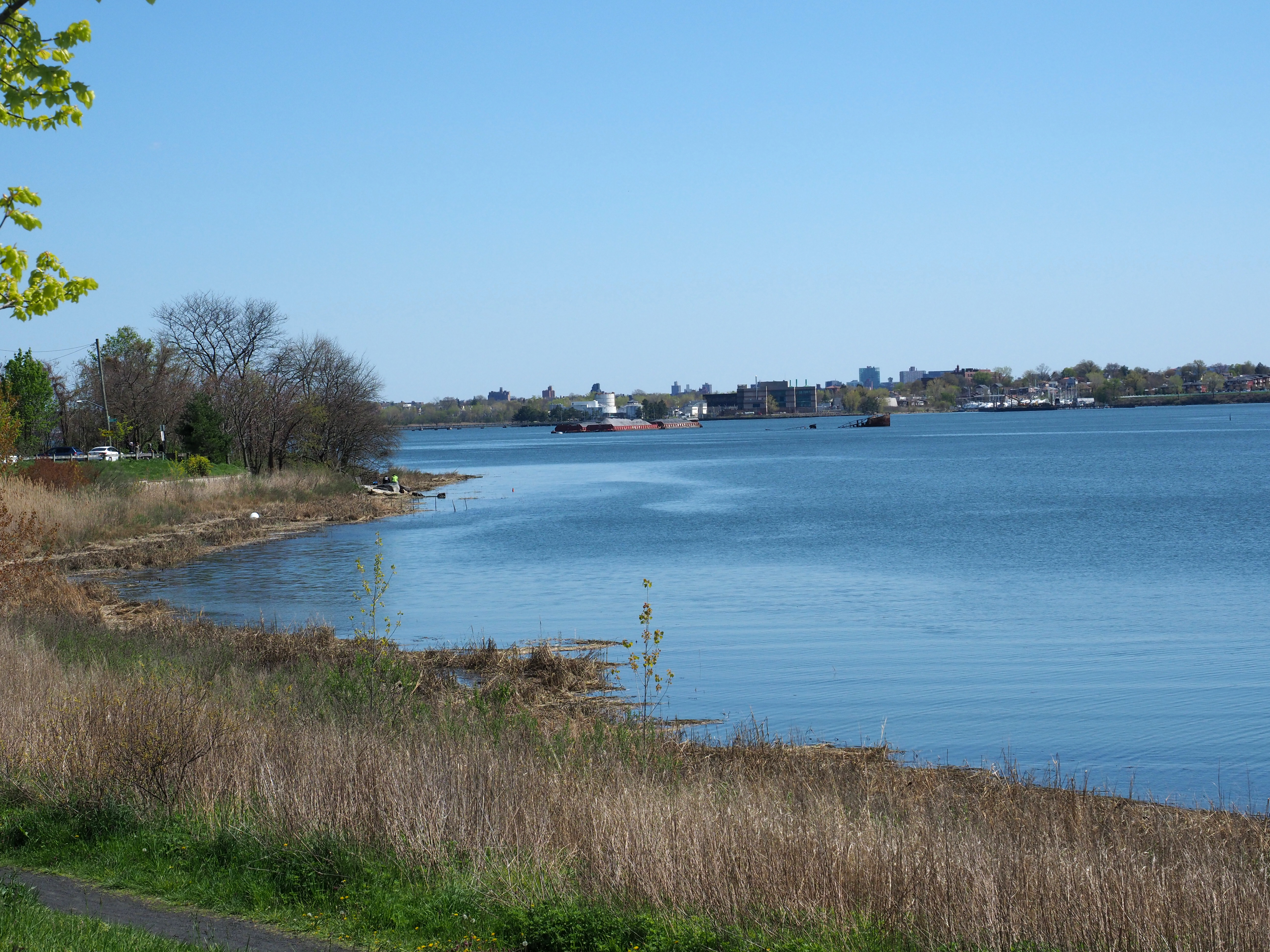
Westchester Creek (also known as Frenchman's Creek) is a tidal inlet of the East River located in the south eastern portion of the Bronx in New York City. It is 2.1 miles (3.39 km) in length. The creek formerly traveled further inland, to what is now Pelham Parkway, extending almost to Eastchester Bay and making Throggs Neck into an island during heavy storms. However, much of the route has been filled in, replaced by such structures as the New York City Subway's Westchester Yard and the Hutchinson Metro Center. Westchester Creek's present-day head is at Herbert H. Lehman High School; the remaining portion is largely inaccessible and surrounded by industrial enterprises or empty lots. Westchester Creek is traversed by the Bruckner Interchange at about its midpoint. Pugsley Creek, historically known as Maenippis Kill and Cromwell's Creek, is a right bank tributary of Westchester Creek and is surrounded by a park of the same name. The creek formerly extended north to Westchest ... [...More Info...] [...Related Items...] OR: [Wikipedia] [Google] [Baidu] |
Castle Hill, Bronx
Castle Hill is a neighborhood located in the southeast section of the borough of the Bronx in New York City. Its boundaries are Waterbury Avenue and Westchester Avenue to the north, Westchester Creek to the east, the East River to the south, and White Plains Road to the west. Unionport is a subsection of Castle Hill, typically considered north of Lafayette Avenue. The neighborhood is part of Bronx Community Board 9. ZIP Codes include 10462, 10472, and 10473. The area is patrolled by the NYPD's 43rd Precinct. New York City Housing Authority (NYCHA) property in the area is patrolled by P.S.A. 8 at 2794 Randall Avenue. History Most development initially concentrated near the IRT Pelham Line on Westchester Avenue and in close proximity to Castle Hill Avenue (once served by a streetcar). The predominant housing was a mixture of attached and detached two- and three-story buildings with one or multiple units, closely set on small lots. Later, larger four- to six-story buildings were co ... [...More Info...] [...Related Items...] OR: [Wikipedia] [Google] [Baidu] |
Bronx River
The Bronx River (), approximately long, flows through southeast New York in the United States and drains an area of . It is named after colonial settler Jonas Bronck. Besides the Hutchinson River, the Bronx River is the only fresh water river in New York City.; all the other rivers within the city are straits and tidal estuaries, and the tidal lower reach of the Hudson River. It originally rose in what is now the Kensico Reservoir, in Westchester County north of New York City. With the construction of the Kensico Dam in 1885, however, the river was cut off from its natural headwaters and today a small tributary stream serves as its source. The Bronx River flows south past White Plains, then south-southwest through the northern suburbs in New York, passing through Edgemont, Tuckahoe, Eastchester, and Bronxville. It forms the border between the large cities of Yonkers and Mount Vernon, and flows into the northern end of The Bronx, where it divides East Bronx from West Bronx, s ... [...More Info...] [...Related Items...] OR: [Wikipedia] [Google] [Baidu] |
New York State Route 895
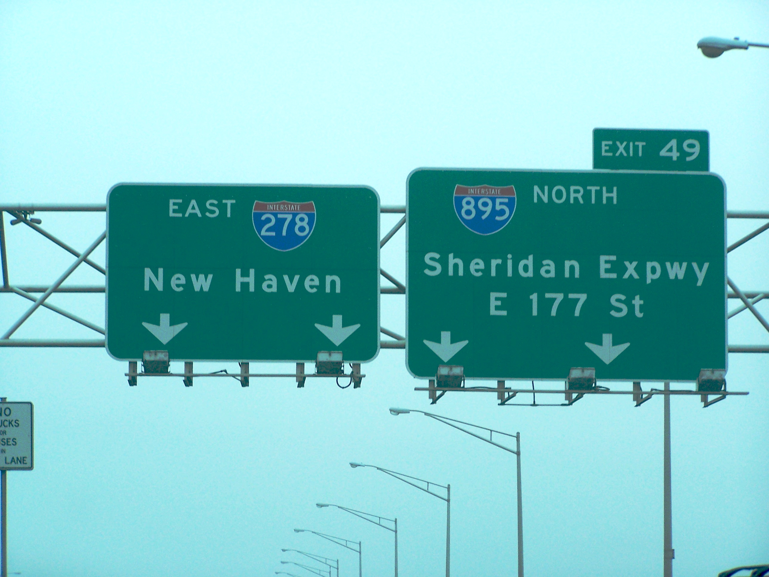
New York State Route 895 (NY 895), known locally as Sheridan Boulevard, is a short boulevard in the New York City borough of The Bronx. Its south end is at a merge with the Bruckner Expressway (Interstate 278 or I-278) in the Hunts Point neighborhood, and its north end is at the Cross Bronx Expressway (I-95), where the road connects with local streets in the West Farms neighborhood. The route opened to traffic in 1963 as a controlled-access highway known as the Arthur V. Sheridan Expressway, and it was designated as Interstate 895 (I-895) in 1970. The expressway, colloquially called "The Sheridan", was co-named for the Bronx Borough Commissioner of Public Works Arthur V. Sheridan, who died in a car crash in 1952. I-895 was supposed to connect back to I-95, its parent route, further north in Eastchester. However, due to community opposition, this extension was never built. As a result, I-895 saw relatively little use, since it ran parallel to the longer Bronx Ri ... [...More Info...] [...Related Items...] OR: [Wikipedia] [Google] [Baidu] |
South Bronx
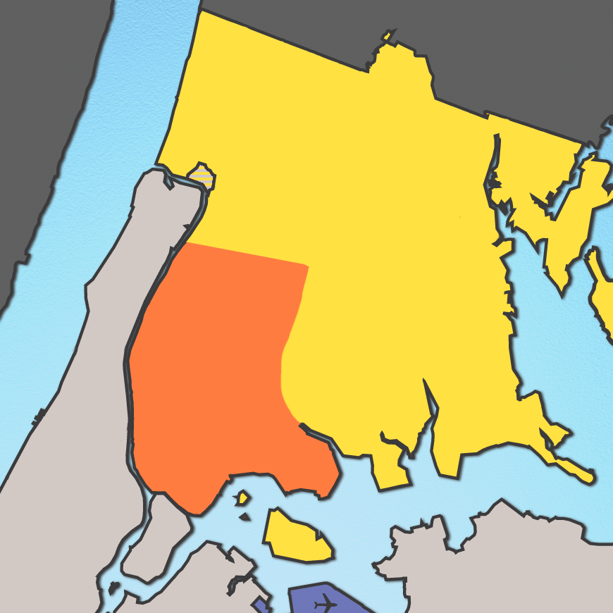
The South Bronx is an area of the New York City Borough (New York City), borough of the Bronx. The area comprises neighborhoods in the southern part of the Bronx, such as Concourse, Bronx, Concourse, Mott Haven, Bronx, Mott Haven, Melrose, Bronx, Melrose, and Port Morris, Bronx, Port Morris. In the early 1900s, the South Bronx was originally known as the Manor of Morrisania, as it was the manor of Lewis Morris (governor), Lewis Morris. As the Morris family continued to expand on the land, an influx of German and Irish immigrants started to populate the area, leading the Bronx to be considered the "Jewish Borough" in the 1930s. This soon changed as World War II caused rent to increase in many apartments, pushing people out. By the end of the 1950s, the South Bronx was two-thirds African American or Hispanic (of any race). The South Bronx is known for its Hip hop#Culture, hip hop culture and graffiti. Graffiti became popular in the Bronx in the early 1970s, spreading through t ... [...More Info...] [...Related Items...] OR: [Wikipedia] [Google] [Baidu] |
Major Deegan Expressway
Interstate 87 (I-87) is a north–south Interstate Highway located entirely within the US state of New York. It is most of the main highway between New York City and Montreal. The highway begins at exit 47 off I-278 in the New York City borough of the Bronx, just north of the Robert F. Kennedy Bridge and Grand Central Parkway. From there, the route runs northward through the Hudson Valley, the Capital District, and the easternmost part of the North Country to the Canadian border in the town of Champlain. At its north end, I-87 continues into Quebec as Autoroute 15 (A-15). I-87 connects with several regionally important roads: I-95 in New York City, New York State Route 17 (NY 17; future I-86) near Harriman, I-84 near Newburgh, and I-90 in Albany. The highway is not contiguous with I-87 in North Carolina. I-87 was assigned in 1957 as part of the establishment of the Interstate Highway System. The portion of I-87 south of Albany follows two control ... [...More Info...] [...Related Items...] OR: [Wikipedia] [Google] [Baidu] |
Interstate 87 (New York)
Interstate 87 (I-87) is a north–south Interstate Highway located entirely within the US state of New York. It is most of the main highway between New York City and Montreal. The highway begins at exit 47 off I-278 in the New York City borough of the Bronx, just north of the Robert F. Kennedy Bridge and Grand Central Parkway. From there, the route runs northward through the Hudson Valley, the Capital District, and the easternmost part of the North Country to the Canadian border in the town of Champlain. At its north end, I-87 continues into Quebec as Autoroute 15 (A-15). I-87 connects with several regionally important roads: I-95 in New York City, New York State Route 17 (NY 17; future I-86) near Harriman, I-84 near Newburgh, and I-90 in Albany. The highway is not contiguous with I-87 in North Carolina. I-87 was assigned in 1957 as part of the establishment of the Interstate Highway System. The portion of I-87 south of Albany follows two contr ... [...More Info...] [...Related Items...] OR: [Wikipedia] [Google] [Baidu] |
Bruckner Exp 8B Jeh
Josef Anton Bruckner (; 4 September 182411 October 1896) was an Austrian composer, organist, and music theorist best known for his symphonies, masses, Te Deum and motets. The first are considered emblematic of the final stage of Austro-German Romanticism because of their rich harmonic language, strongly polyphonic character, and considerable length. Bruckner's compositions helped to define contemporary musical radicalism, owing to their dissonances, unprepared modulations, and roving harmonies. Unlike other musical radicals such as Richard Wagner and Hugo Wolf, Bruckner showed extreme humility before other musicians, Wagner in particular. This apparent dichotomy between Bruckner the man and Bruckner the composer hampers efforts to describe his life in a way that gives a straightforward context for his music. Hans von Bülow described him as "half genius, half simpleton". Bruckner was critical of his own work and often reworked his compositions. There are several versions of ... [...More Info...] [...Related Items...] OR: [Wikipedia] [Google] [Baidu] |
Hutchinson River Parkway
The Hutchinson River Parkway (known colloquially as The Hutch) is a north–south parkway in southern New York in the United States. It extends for from the massive Bruckner Interchange in the Throggs Neck section of the Bronx to the New York–Connecticut state line at Rye Brook. The parkway continues south from the Bruckner Interchange as the Whitestone Expressway ( Interstate 678) and north into Greenwich, Connecticut, as the Merritt Parkway (Connecticut Route 15). The roadway is named for the Hutchinson River, a 10-mile-long (16 km) stream in southern Westchester County that the road follows alongside. The river, in turn, was named for English colonial religious leader Anne Hutchinson. Construction of the parkway began in 1924 and was completed in 1941. The section of the parkway between Eastern Boulevard (now Bruckner Boulevard) in the Bronx and U.S. Route 1 (US 1) in Pelham Manor was designated as New York State Route 1X (NY 1X) from 1941 ... [...More Info...] [...Related Items...] OR: [Wikipedia] [Google] [Baidu] |
Interstate 678
Interstate 678 (I-678) is a north–south auxiliary Interstate Highway that extends for through two boroughs of New York City. The route begins at John F. Kennedy International Airport on Jamaica Bay and travels north through Queens and across the East River to the Bruckner Interchange in the Bronx, where I-678 ends and the Hutchinson River Parkway begins. I-678 connects to I-495 (the Long Island Expressway) in Flushing Meadows–Corona Park. The highway is known as the Van Wyck Expressway ( or ) from JFK Airport to Northern Boulevard (New York State Route 25A or NY 25A), the Whitestone Expressway from NY 25A north to the Bronx–Whitestone Bridge, and the Hutchinson River Expressway from the bridge to the Bruckner Interchange. North of the interchange, I-678 ends and the roadway continues as the Hutchinson River Parkway. The portion of I-678 north of NY 25A follows the path of the Whitestone Parkway and a short section of the Hutchinson River Parkwa ... [...More Info...] [...Related Items...] OR: [Wikipedia] [Google] [Baidu] |


.jpg)


