|
Brooms Head, New South Wales
Brooms Head is a coastal village, located 20km from Maclean in northern New South Wales. At the 2021 census, Brooms Head had a population of 271 people. History The area that is now Brooms Head was originally inhabited by the Yaegl people. Archaeological evidence suggests that the area between Brooms Head and Sandon was a common meeting and hunting point for the Yaegl. The name Brooms Head was first used in 1870 when a broom thought to have come from the wreck of the schooner 'Eureka', was washed up on the beach, replacing the earlier name of Cakora Point. Early sources often used the spelling "Broome's Head" until the mid-20th century. Residents from Maclean and farmers from around the Lower Clarence began to camp around Brooms Head from the 1880s. Primary industries in the surrounding area in the early years of settlement were timber cutting, sand mining and cattle farming, before the Yuraygir National Park Yuraygir is a national park in New South Wales, Australia, locate ... [...More Info...] [...Related Items...] OR: [Wikipedia] [Google] [Baidu] |
Electoral District Of Clarence
Clarence is an New South Wales Legislative Assembly electoral districts, electoral district of the New South Wales Legislative Assembly, Legislative Assembly in the Australian state of New South Wales. It includes all of the Clarence Valley Council including Grafton, New South Wales, Grafton, Maclean, New South Wales, Maclean, Yamba, New South Wales, Yamba, Iluka, New South Wales, Illuka, Junction Hill, New South Wales, Junction Hill, Ulmarra, New South Wales, Ulmarra, Coutts Crossing, New South Wales, Coutts Crossing and Glenreagh, New South Wales, Glenreagh, as well as all of the Richmond Valley Council including Casino, New South Wales, Casino, Coraki, New South Wales, Coraki, Woodburn, New South Wales, Woodburn, Evans Head, New South Wales, Evans Head and Tatham, New South Wales, Tatham. History Clarence was created in 1859, replacing the New South Wales part of Electoral district of Clarence and Darling Downs, Clarence and Darling Downs. With the introduction of proportion ... [...More Info...] [...Related Items...] OR: [Wikipedia] [Google] [Baidu] |
Division Of Page
The Division of Page is an Australian electoral division in the state of New South Wales. History The division is named after the Right Honourable Sir Earle Page, the second leader of the Country Party of Australia and the Prime Minister of Australia after the death of Joseph Lyons in 1939. The division was proclaimed at the redistribution of 11 October 1984, and was first contested at the 1984 federal election. Since its creation, Page has usually been a marginal seat, frequently changing hands between the National Party and the Labor Party, with neither party gaining more than 55% of the two party preferred vote at any election except for the 1984 election, the 2019 election and the 2022 Australian federal election . It was considered a bellwether seat from the 1990 election until 2022, when it was comfortably won by the National Party, despite the victory of the Labor Party under Anthony Albanese. Though results vary by election, booths in the City of Lismore LGA a ... [...More Info...] [...Related Items...] OR: [Wikipedia] [Google] [Baidu] |
Maclean, New South Wales
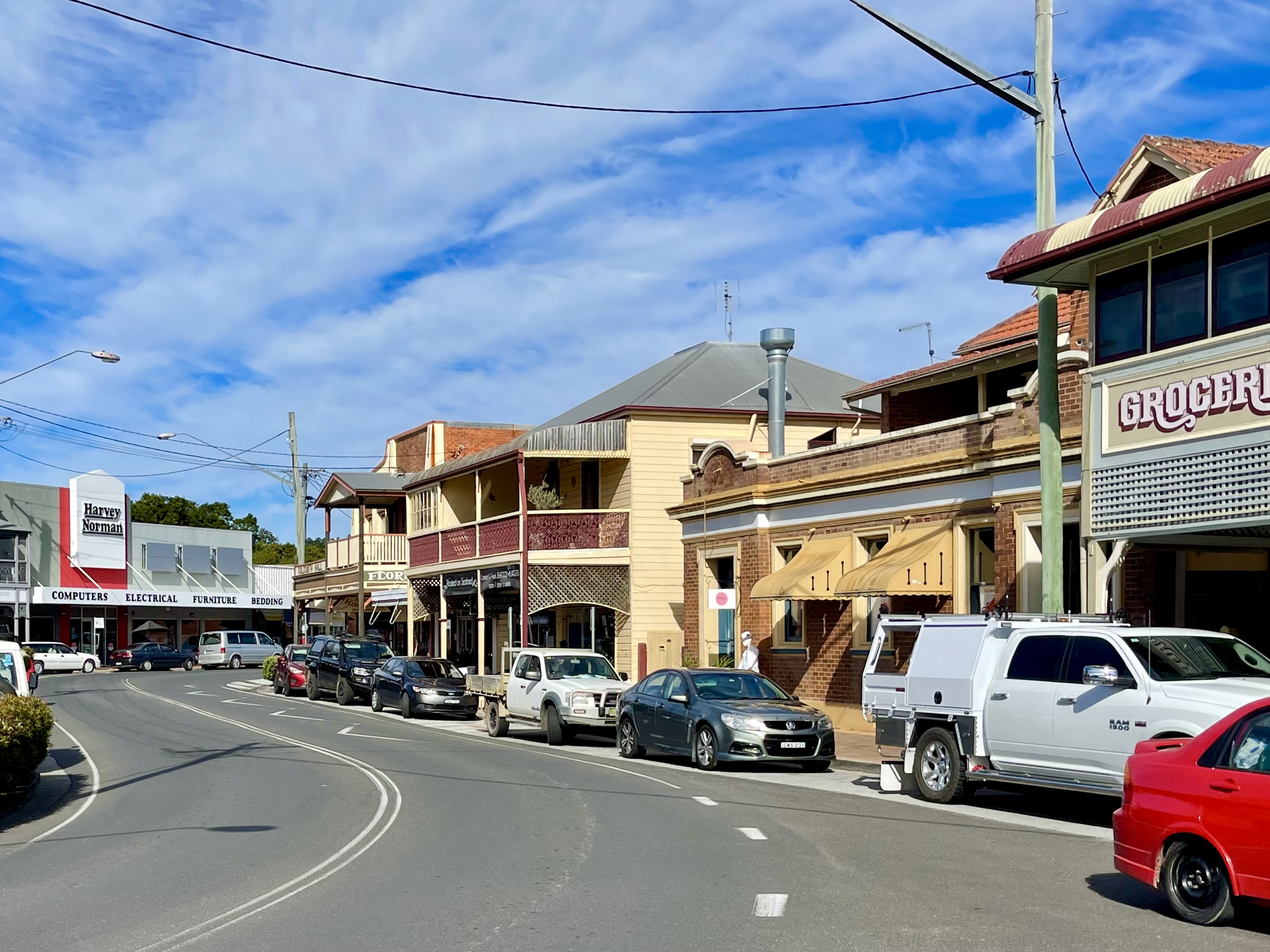
Maclean is a town in Clarence Valley local government area in the Northern Rivers region of New South Wales, Australia. It is on the Clarence River and near the Pacific Highway. At the , Maclean had a population of 2,778, total urban area including Townsend and Gulmarrad (postcode 2463) is more than 8,304. The Maclean, Yamba and Iluka area known as the Lower Clarence had a combined population of 17,533. Its industries are tourism, sugar cane production, farming and river-prawn trawling. Together with Grafton, Maclean is the shared administrative centre for the Clarence Valley Council local government area. Geography Maclean is nestled at the base of Mt Maclean and the shoreline of the Clarence River where the river reunites after splitting around Woodford Island. A bridge connects Woodford Island to Maclean. It is part of the Tourist Drive 22. During times of heavy rain the town is under threat of flooding by the surging waters of the river. The Pacific Highway bypass ... [...More Info...] [...Related Items...] OR: [Wikipedia] [Google] [Baidu] |
Grafton, New South Wales
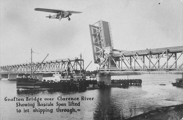
Grafton ( Bundjalung-Yugambeh: Gumbin Gir) is a city in the Northern Rivers region of the Australian state of New South Wales. It is located on the Clarence River, approximately by road north-northeast of the state capital Sydney. The closest major cities, Brisbane and the Gold Coast, are located across the border in South-East Queensland. At the 2021 census, Grafton had a population of 19,255. The city is the largest settlement and, with Maclean, the shared administrative centre of the Clarence Valley Council local government area, which is home to over 50,000 people in all. History Before European settlement, the Clarence River marked the border between the BundjalungTindale, Norman (1974) "Badjalang" in his ''Catalogue of A ... [...More Info...] [...Related Items...] OR: [Wikipedia] [Google] [Baidu] |
Brisbane, Queensland
Brisbane ( ) is the capital and most populous city of the states and territories of Australia, Australian state of Queensland, and the list of cities in Australia by population, third-most populous city in Australia and Oceania, with a population of approximately 2.6 million. Brisbane lies at the centre of the South East Queensland metropolitan region, which encompasses a population of around 3.8 million. The Brisbane central business district is situated within a peninsula of the Brisbane River about from its mouth at Moreton Bay, a bay of the Coral Sea. Brisbane is located in the hilly floodplain of the Brisbane River Valley between Moreton Bay and the Taylor Range, Taylor and D'Aguilar Range, D'Aguilar mountain ranges. It sprawls across several local government in Australia, local government areas, most centrally the City of Brisbane, Australia's most populous local government area. The demonym of Brisbane is ''Brisbanite''. The Traditional Owners of the Brisbane a ... [...More Info...] [...Related Items...] OR: [Wikipedia] [Google] [Baidu] |
Sydney, New South Wales
Sydney ( ) is the capital city of the state of New South Wales, and the most populous city in both Australia and Oceania. Located on Australia's east coast, the metropolis surrounds Sydney Harbour and extends about towards the Blue Mountains to the west, Hawkesbury to the north, the Royal National Park to the south and Macarthur to the south-west. Sydney is made up of 658 suburbs, spread across 33 local government areas. Residents of the city are known as "Sydneysiders". The 2021 census recorded the population of Greater Sydney as 5,231,150, meaning the city is home to approximately 66% of the state's population. Estimated resident population, 30 June 2017. Nicknames of the city include the 'Emerald City' and the 'Harbour City'. Aboriginal Australians have inhabited the Greater Sydney region for at least 30,000 years, and Aboriginal engravings and cultural sites are common throughout Greater Sydney. The traditional custodians of the land on which modern Sydney stands are t ... [...More Info...] [...Related Items...] OR: [Wikipedia] [Google] [Baidu] |
Yaygirr
The Yaygir, Yuraygir, or Yaegl, are an Australian Aboriginal tribe who traditionally live and lived in and around Yamba and Maclean, New South Wales. Language Yaygir was one of the two Gumbaynggiric languages, closely related to Gumbaynggir, both of which split from the same proto-language, though in developing their differences, their lexical cognate count was reduced to half, 46%. It is considered by Terry Crowley to be the most 'aberrant' of New South Wales languages for its phonology and acceptance of initial vowels, as opposed to the standard formation of words, which normatively begin with consonants, the latter feature something it shares with Nganjaywana. The last speaker was Sandy Cameron of Yamba (d.1973). It had a voiceless trill unique to Australian languages. Country Yaygir country stretched from Coffs Harbour northwards to Evans Head, and inland to Cowper on the Clarence River. They were and are a coastal people. Some reports state that the tribe or horde ... [...More Info...] [...Related Items...] OR: [Wikipedia] [Google] [Baidu] |
Yuraygir National Park
Yuraygir is a national park in New South Wales, Australia, located northeast of Sydney. It was created in 1980, a result of the merger and enlargement of two national parks, Angourie and Red Rock National Parks, both of which had been established in 1975. At the time of its establishment in 1980, the park was fragmented, and parcels of land were bought over the following two decades to unite segments into a more contiguous protected area. Sometimes these acquisitions required protracted negotiations (and legal disputes) with land owners. Etymology The name is a phonetic translation of the local indigenous tribe who had lived in the area, and had formerly been transcribed variously as Jeigir, Jiegera, Jungai, Yagir, Yegera, Yegir, Yiegera or Youngai. Description Covering of coastline, it is the largest coastal park in New South Wales. The Yuraygir coastal walk traverses the coastline, and takes four days to complete. There are 48 beaches, including the highly regarded -long Sh ... [...More Info...] [...Related Items...] OR: [Wikipedia] [Google] [Baidu] |


