|
Brandhall
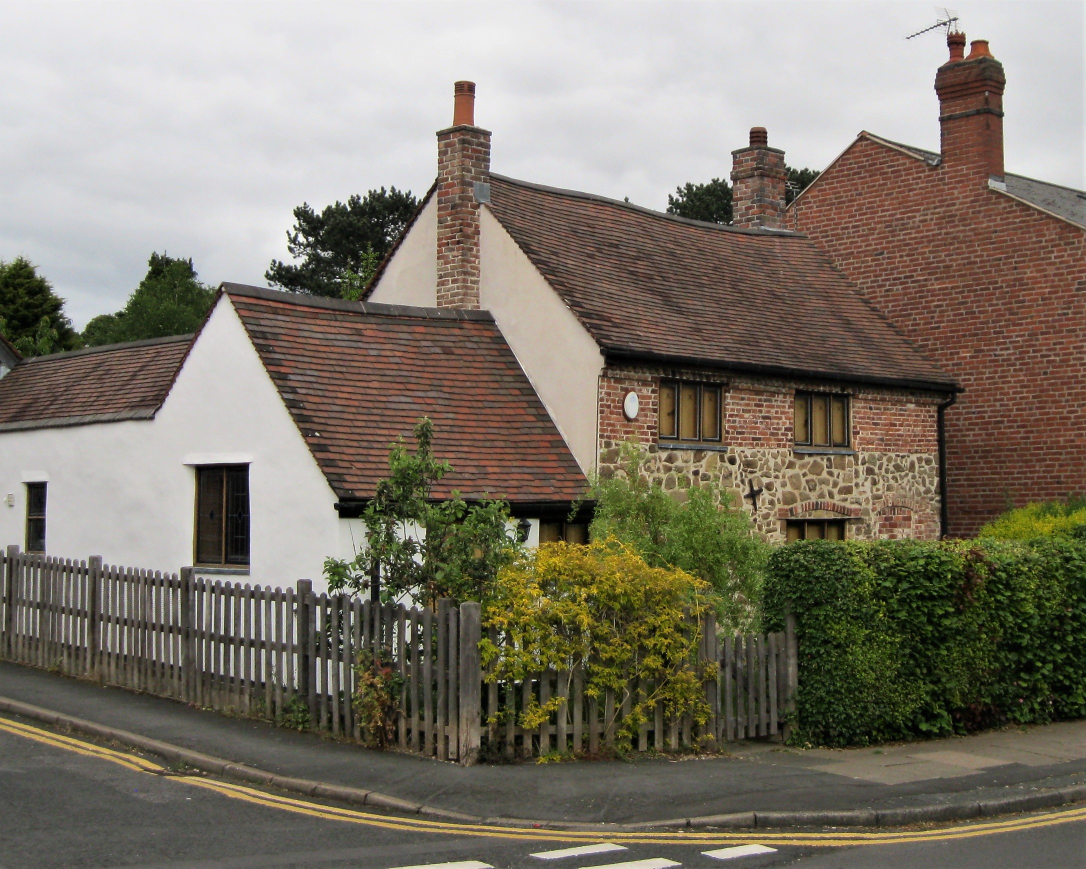
Brandhall is a suburb of Oldbury in the south of the Metropolitan Borough of Sandwell, West Midlands, bordering Birmingham and Halesowen. The development of the area commenced during the 1930s with the construction of several hundred private houses along the Hagley Road and Wolverhampton Road, as well as several side roads leading off the main dual carriageways. However, most of Brandhall was developed in the 1950s and 1960s, when several thousand council houses, flats and bungalows were built by Oldbury Council. Most of the high and medium-rise flats in Brandhall were demolished in the early 2000s and in their place housing associations built new low-rise homes. Brandhall is growing to be a more popular place due to the construction of new facilities, such as a local supermarket and a doctor's surgery. Brandhall (along with the rest of the Oldbury borough, and the neighbouring boroughs of Smethwick and Rowley Regis) became part of the County Borough of Warley in 1966, but th ... [...More Info...] [...Related Items...] OR: [Wikipedia] [Google] [Baidu] |
Oldbury, West Midlands
Oldbury is a market town in the Metropolitan Borough of Sandwell, West Midlands, England. It is the administrative centre of the borough and one of its six constituent towns. At the 2011 census, the ward of Oldbury had a population of 13,606, while the 2017 population of the wider built-up area was estimated at 25,488. Sandwell Metropolitan Borough Council, which defines Oldbury Town as consisting of the wards of Bristnall, Langley, Oldbury, and Old Warley, gave the population as 50,641 in 2011. Etymology The place name Oldbury, comes from the Old English 'Ealdenbyrig', – signifying that Oldbury was old even in early English times over 1,000 years ago. ''Eald'' being Old English for 'old', ''Byrig'' is the plural of 'burh' in Old English – a burh being a fortification or fortified town. History Oldbury was part of the ancient parish of Halesowen, a detached part of Shropshire surrounded by Worcestershire and Staffordshire. After the dissolution of the monasteries, Henry ... [...More Info...] [...Related Items...] OR: [Wikipedia] [Google] [Baidu] |
Sandwell
Sandwell is a metropolitan borough of the West Midlands county in England. The borough is named after the Sandwell Priory, and spans a densely populated part of the West Midlands conurbation. According to Sandwell Metropolitan Borough Council, the borough comprises the six amalgamated towns of Oldbury, Rowley Regis, Smethwick, Tipton, Wednesbury, and West Bromwich, although these places consist of numerous smaller settlements and localities. Sandwell's Strategic Town Centre is designated as West Bromwich, the largest town in the borough, while Sandwell Council House (the headquarters of the local authority) is situated in Oldbury. In 2019 Sandwell was ranked 12th most deprived of England's 317 boroughs. Bordering Sandwell is the City of Birmingham to the east, the Metropolitan Borough of Dudley to the south and west, the Metropolitan Borough of Walsall to the north, and the City of Wolverhampton to the north-west. Spanning the borough are the parliamentary constituencies of ... [...More Info...] [...Related Items...] OR: [Wikipedia] [Google] [Baidu] |
Quinton, Birmingham
Quinton, is a residential area and ward of Birmingham, England just under west of the city centre. Formerly part of Halesowen parish, Quinton became part of Birmingham in 1909. Quinton was a village and the surrounding area was farmland until the 1930s when the first housing estates were developed. Most of the farmland had been built on by 1980 but some countryside remains in the form of Woodgate Valley Country Park. Along with Bartley Green, Harborne and Edgbaston, Quinton is a part of the Birmingham Edgbaston constituency. History The name of Quinton is thought to derive from ''Cweningtun'', meaning the queen's settlement. Quinton was formerly part of the ancient parish of Halesowen and was largely owned in medieval times by the wealthy abbey at Lapal near Halesowen. In the 1840s, when called ''The Quinton'', mention was made of two small coal mines in the area and that the inhabitants were employed in nail manufacturing. The parish was generally known as ''Ridgacre'' un ... [...More Info...] [...Related Items...] OR: [Wikipedia] [Google] [Baidu] |
County Borough Of Warley
Warley was a short-lived county borough and civil parish in the geographical county of Worcestershire, England, forming part of the West Midlands conurbation. It was formed in 1966 by the combination of the existing county borough of Smethwick with the municipal boroughs of Oldbury and Rowley Regis, by recommendation of the Local Government Commission for England. It was abolished just 8 years later in 1974 under the Local Government Act 1972, with its area passing to the Metropolitan Borough of Sandwell. Formation The Local Government Act 1958 appointed a Local Government Commission to review administrative structures and boundaries in England outside London. The Act designated a "West Midlands Special Review Area" as one of five conurbations in which urgent reform was felt to be needed. The commission made its report in July 1961, recommending that the Black Country area of the West Midlands should be administered by five large county boroughs. The proposal to merge the ... [...More Info...] [...Related Items...] OR: [Wikipedia] [Google] [Baidu] |
Perryfields Academy
Perryfields Academy (formerly Perryfields High School) is a coeducational secondary school located on the Brandhall housing estate in Oldbury, West Midlands, England. History It has served the local community since 1956, first as a secondary modern school and then as a community A community is a social unit (a group of living things) with commonality such as place, norms, religion, values, customs, or identity. Communities may share a sense of place situated in a given geographical area (e.g. a country, village, ... comprehensive school with Mathematics and Computing College status. In May 2021 Perryfields High School converted to academy status and was renamed Perryfields Academy. The school is now sponsored by Broadleaf Partnership Trust. School structure The school has five house groups which pupils are split into: Pioneer, Mariner, Enterprise, Voyager and Challenger. Ranking In 2009, it was the highest ranking secondary school in Sandwell, with 74% of ... [...More Info...] [...Related Items...] OR: [Wikipedia] [Google] [Baidu] |
Bearwood, West Midlands
Bearwood is the southern part of Smethwick, Sandwell, West Midlands, England, and north of the A456 Hagley Road. Bearwood Hill was the original name of the High Street from Smethwick Council House to Windmill Lane. The border at the Shireland Brook where Portland Road (Edgbaston) becomes Shireland Road (Sandwell) is signed "Bearwood" (February 2014). The part of Bearwood to the west of Shireland Brook is included in Abbey Ward in Sandwell Metropolitan Borough. The smaller part of Bearwood to the east of Shireland Brook is in the North West Edgbaston ward in Birmingham. In 1903, Bearwood Ward in Smethwick extended from Hagley Road to Smethwick High Street and included part of Cape Hill. The Bearwood telephone exchange area marked out by the 0121-429, 420, and 434 numbers extends as far east as Harborne Walkway. Bearwood, like many areas of the West Midlands conurbation, has a local sense of place, although it has become absorbed into Smethwick. Many locals still use the ... [...More Info...] [...Related Items...] OR: [Wikipedia] [Google] [Baidu] |
Hurst Green, West Midlands
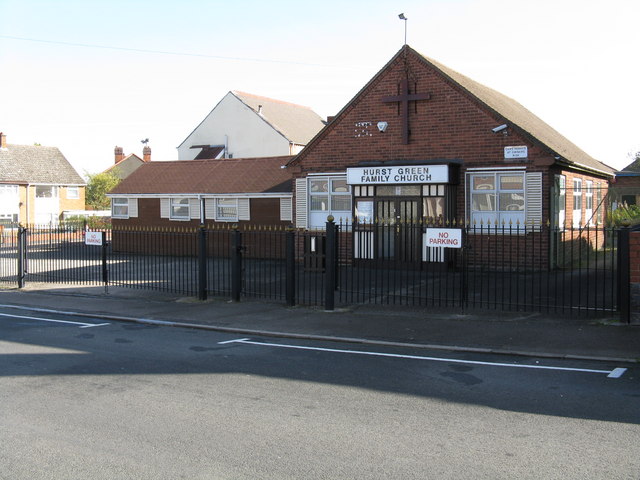
Hurst Green is a suburb of Halesowen in the Metropolitan Borough of Dudley, located on its north-eastern side. Its principal thoroughfares are Narrow Lane/Fairfield Road, Summerfield Avenue and Hurst Green Road and Woodbury Road with a small shopping centre at the eastern end of the latter bordering the M5 motorway. It is a mixture of owner-occupied and municipal housing, the latter concentrated around Brandon Road/Westfield Road. There is an industrial area to its north along Fairfield Road and Cakemore Road. It is served by buses X8, X10, 13A, 14, 19, 202, 231 Although it is administratively part of Halesowen, it is geographically closer to Blackheath Blackheath may refer to: Places England *Blackheath, London, England ** Blackheath railway station **Hundred of Blackheath, Kent, an ancient hundred in the north west of the county of Kent, England *Blackheath, Surrey, England ** Hundred of Blackh ..., where its residents have traditionally shopped and to where most of its pu ... [...More Info...] [...Related Items...] OR: [Wikipedia] [Google] [Baidu] |
Warley, West Midlands
upThe Edwardian drinking fountain in Warley Woods Park, in 2013 Warley is a residential area of Oldbury in the Metropolitan Borough of Sandwell in the West Midlands of the United Kingdom. Historically in both Worcestershire and Shropshire, the name has been used for both a civil parish (1884–1908) and a county borough (1966–1974). Warley has been the name of a UK Parliament constituency since 1997. History A civil parish of Warley was created in 1884 by the merger of the Warley Salop parish with parts of the parishes of Warley Wigorn, Ridgacre and Oldbury. In 1908 the parish was abolished, becoming part of the municipal borough of Oldbury, although the Warley name was retained as a district of Oldbury, which was developed for housing after 1920. This also included a development by Smethwick county borough council, into which part of Warley had been incorporated in 1928 to enable Smethwick council to build houses there. The name was re-used in 1966 by the creat ... [...More Info...] [...Related Items...] OR: [Wikipedia] [Google] [Baidu] |
West Bromwich
West Bromwich ( ) is a market town in the borough of Sandwell, West Midlands, England. Historically part of Staffordshire, it is north-west of Birmingham. West Bromwich is part of the area known as the Black Country, in terms of geography, culture and dialect. West Bromwich had a population of 77,997 in the 2011 Census. Initially a rural village, West Bromwich's growth corresponded with that of the Industrial Revolution, owing to the area's natural richness in ironstone and coal, as well as its proximity to canals and railway branches. It led to the town becoming a centre for coal mining, brick making, the iron industry and metal trades such as nails, springs and guns. The town's primary economy developed into engineering, manufacturing and the Automotive industry in the United Kingdom, automotive industry through the early 20th century. During the World War II, Second World War, West Bromwich experienced Birmingham Blitz, bombing from the Luftwaffe, German Luftwaffe. It als ... [...More Info...] [...Related Items...] OR: [Wikipedia] [Google] [Baidu] |
Rowley Regis
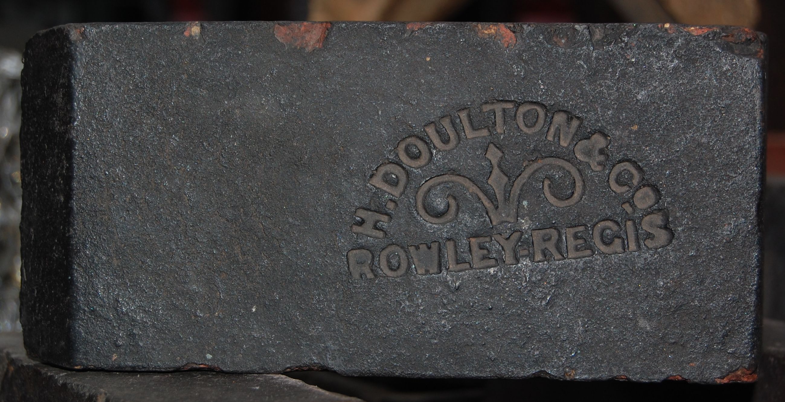
Rowley Regis ( ) is a town and former municipal borough in Sandwell in the county of the West Midlands, England. It encompasses the three Sandwell council wards of Blackheath, Cradley Heath and Old Hill, and Rowley. At the 2011 census, the combined population of these wards was 50,257. History The history of Rowley Regis can be traced back to the 12th century, when a small village grew around the parish church of St. Giles, southeast of Dudley. Rowley was part of the Royal hunting grounds - Regis was added to the name of Rowley in around 1140 to signify it was that part of Rowley belonging to the King. It began to develop substantially during the 19th century. In 1933, Rowley Regis became a borough, and incorporated the communities of Blackheath, Old Hill, and Cradley Heath. These places were all within the ancient parish of Rowley Regis, which (despite being in the county of Staffordshire) was in the diocese of Worcester. The parish contained the manors of Rowley Regis and ... [...More Info...] [...Related Items...] OR: [Wikipedia] [Google] [Baidu] |
West Midlands (county)
West Midlands is a metropolitan county in the West Midlands Region, England, with a 2021 population of 2,919,600, making it the second most populous county in England after Greater London. It was created in 1974 by the Local Government Act 1972, from parts of Staffordshire, Worcestershire and Warwickshire. The county is a NUTS 2 region within the wider NUTS 1 region of the same name. It embraces seven metropolitan boroughs: the cities of Birmingham, Coventry and Wolverhampton, and the boroughs of Dudley, Sandwell, Solihull and Walsall. The county is overseen by the West Midlands Combined Authority, which covers all seven boroughs and other non-constituent councils, on economy, transport and housing. Status The metropolitan county exists in law, as a geographical frame of reference, and as a ceremonial county. As such it has a Lord Lieutenant. and a High Sheriff. Between 1974 and 1986, the West Midlands County Council was the administrative body covering the county; t ... [...More Info...] [...Related Items...] OR: [Wikipedia] [Google] [Baidu] |
Smethwick
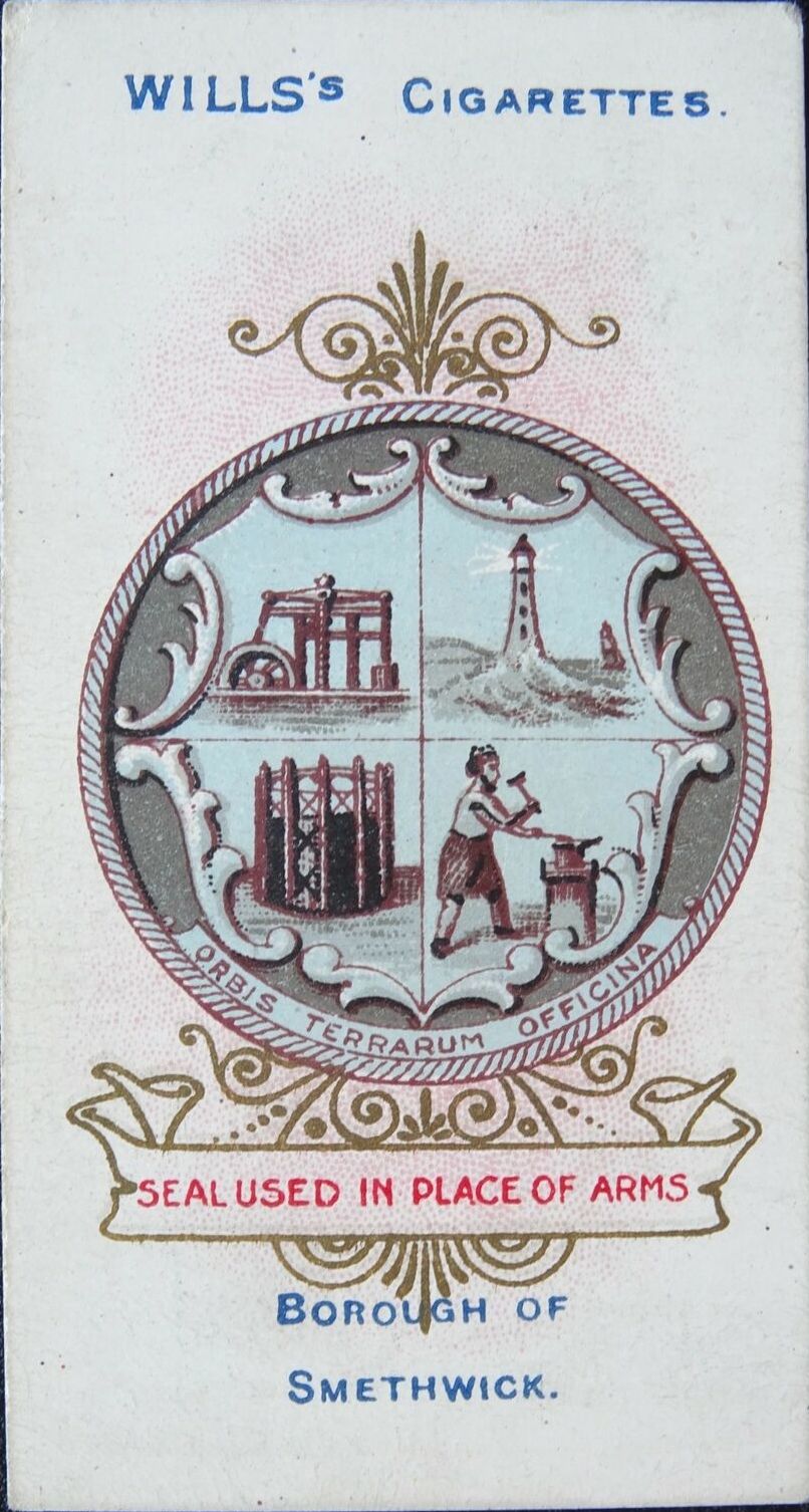
Smethwick () is an industrial town in Sandwell, West Midlands, England. It lies west of Birmingham city centre. Historically it was in Staffordshire. In 2019, the ward of Smethwick had an estimated population of 15,246, while the wider built-up area subdivision has a population of 53,653. History It was suggested that the name Smethwick meant "smiths' place of work", but a more recent interpretation has suggested the name means "the settlement on the smooth land". Smethwick was recorded in the Domesday Book as ''Smedeuuich'', the ''d'' in this spelling being the Anglo-Saxon letter eth. Until the end of the 18th century it was an outlying hamlet of the south Staffordshire village of Harborne. Harborne became part of the county borough of Birmingham and thus transferred from Staffordshire to Warwickshire in 1891, leaving Smethwick in the County of Staffordshire. The world's oldest working engine, the Smethwick Engine, made by Boulton & Watt, originally stood near Br ... [...More Info...] [...Related Items...] OR: [Wikipedia] [Google] [Baidu] |


