|
Bocas De Cenizas
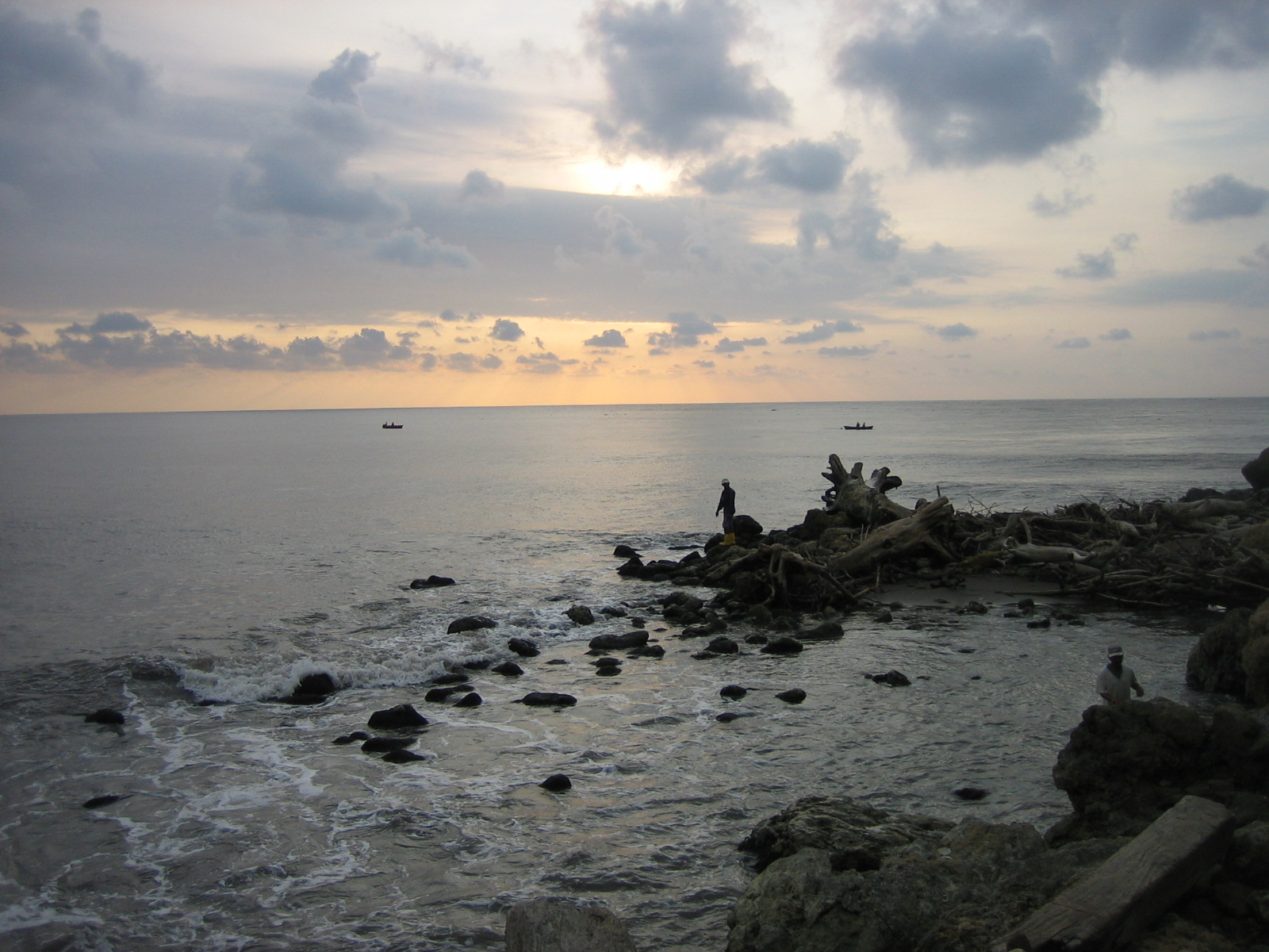
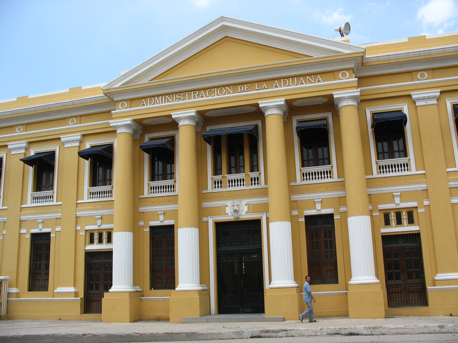
Bocas de Ceniza (Spanish for: ''Ash Mouths'') is the mouth of the Magdalena River in the Caribbean Sea. It owes its name to the dusky color ocean waters take to receive the river. At present, the river flows into the sea through an artificial canal built in the 1930s. History Bocas de Ceniza was discovered by Rodrigo de Bastidas on 1 April 1501. In 1824 the river navigation steamships began, raising local interest in the use of Bocas de Ceniza. The railway construction between Barranquilla and Puerto Colombia Puerto Colombia is a coastal town and municipality in Atlántico Department, Colombia founded in the mid 1800s. Famous for its "Pier of Puerto Colombia", that at one time was the largest Pier in the world. Duties were later transferred to the l ... in 1872 and the transfer of Aduana Nacional to Barranquilla increased the desire to enable the sector of Bocas de Ceniza for international maritime trade. References Geography of Colombia {{Atlántico-geo-stub ... [...More Info...] [...Related Items...] OR: [Wikipedia] [Google] [Baidu] |
Magdalena River
The Magdalena River ( es, Río Magdalena, ; less commonly ) is the main river of Colombia, flowing northward about through the western half of the country. It takes its name from the biblical figure Mary Magdalene. It is navigable through much of its lower reaches, in spite of the shifting sand bars at the mouth of its delta, as far as Honda, at the downstream base of its rapids. It flows through the Magdalena River Valley. Its drainage basin covers a surface of , which is 24% of the country's area and where 66% of its population lives. Course The Magdalena River is the largest river system of the northern Andes, with a length of 1,612 km. Its headwaters are in the south of Colombia, where the Andean subranges Cordillera Central and Cordillera Oriental separate, in Huila Department. The river runs east then north in a great valley between the two cordilleras. It reaches the coastal plain at about nine degrees north, then runs west for about , then north again, reaching th ... [...More Info...] [...Related Items...] OR: [Wikipedia] [Google] [Baidu] |
Caribbean Sea
The Caribbean Sea ( es, Mar Caribe; french: Mer des Caraïbes; ht, Lanmè Karayib; jam, Kiaribiyan Sii; nl, Caraïbische Zee; pap, Laman Karibe) is a sea of the Atlantic Ocean in the tropics of the Western Hemisphere. It is bounded by Mexico and Central America to the west and southwest, to the north by the Greater Antilles starting with Cuba, to the east by the Lesser Antilles, and to the south by the northern coast of South America. The Gulf of Mexico lies to the northwest. The entire area of the Caribbean Sea, the numerous islands of the West Indies, and adjacent coasts are collectively known as the Caribbean. The Caribbean Sea is one of the largest seas and has an area of about . The sea's deepest point is the Cayman Trough, between the Cayman Islands and Jamaica, at below sea level. The Caribbean coastline has many gulfs and bays: the Gulf of Gonâve, Gulf of Venezuela, Gulf of Darién, Golfo de los Mosquitos, Gulf of Paria and Gulf of Honduras. The Caribbean Sea has ... [...More Info...] [...Related Items...] OR: [Wikipedia] [Google] [Baidu] |
Rodrigo De Bastidas
Rodrigo de Bastidas (; Triana, Seville, Andalusia, c. 1465 – Santiago de Cuba, Cuba, 28 July 1527) was a Spanish conquistador and explorer who mapped the northern coast of South America, discovered Panama, and founded the city of Santa Marta. Personal life Rodrigo de Bastidas was a well-to-do merchant and mariner from the town of Triana near Seville. Because of a mistake by historian Martín Fernández de Navarrete, Bastidas is still sometimes misrepresented as a notary. He was born around 1465 and married Isabel Rodríguez de Romera sometime before 1500. Exploration After sailing with Christopher Columbus during his second voyage to the New World in 1493, De Bastidas petitioned the Spanish Crown to start his own quest to be financed totally with his own money. In exchange for granting De Bastidas the right to explore various territories in the New World, the Crown required him to give them one fourth of the net profits he would acquire. The King and Queen issued a chart ... [...More Info...] [...Related Items...] OR: [Wikipedia] [Google] [Baidu] |
Barranquilla
Barranquilla () is the capital district of Atlántico Department in Colombia. It is located near the Caribbean Sea and is the largest city and third port in the Caribbean Coast region; as of 2018 it had a population of 1,206,319, making it Colombia's fourth-most populous city after Bogotá, Medellín, and Cali. Barranquilla lies strategically next to the delta of the Magdalena River, (originally before rapid urban growth) from its mouth at the Caribbean Sea, serving as a port for river and maritime transportation within Colombia. It is also the main economic center of Atlántico department in Colombia. The city is the core of the Metropolitan Area of Barranquilla, with a population of over 2 million, which also includes the municipalities of Soledad, Galapa, Malambo, and Puerto Colombia. Barranquilla was legally established as a town on April 7, 1813, although it dates from at least 1629. It grew into an important port, serving as a haven for immigrants from Europe, espe ... [...More Info...] [...Related Items...] OR: [Wikipedia] [Google] [Baidu] |
Puerto Colombia
Puerto Colombia is a coastal town and municipality in Atlántico Department, Colombia founded in the mid 1800s. Famous for its "Pier of Puerto Colombia", that at one time was the largest Pier in the world. Duties were later transferred to the larger and modern Port of Barranquilla in Bocas de Cenizas, the mouth of the Magdalena River in the Caribbean sea. The town enjoyed a glorious post-colonial period as the main port on the Caribbean coast of Colombia, where most European immigrants entered the country. In the second half of the 20th century, Puerto Colombia faced a rapid decline, eclipsed by Barranquilla, the capital of Atlántico. Thanks to recent free trade agreements with Canada, the United States of America The United States of America (U.S.A. or USA), commonly known as the United States (U.S. or US) or America, is a country primarily located in North America. It consists of 50 states, a federal district, five major unincorporated territori ... and many ... [...More Info...] [...Related Items...] OR: [Wikipedia] [Google] [Baidu] |


