|
Blanco Canyon
Blanco Canyon is a canyon located in the U.S. state of Texas. Eroded by the White River into the Caprock Escarpment on the east side of the Llano Estacado, the canyon runs for in a southeasterly direction, gradually widening from its beginning in southwestern Floyd County to across at its mouth in southeastern Crosby County. It also gradually deepens from at its beginning to 300 to 500 feet (91 to 150 m) at its mouth. One side canyon, 5-mile long Crawfish Canyon, was cut by Crawfish Creek as it feeds into the White River from the west. Blanco Canyon is one of several canyons that have been cut by rivers into the east face of the Llano Estacado, including Yellow House Canyon, Tule Canyon, and Palo Duro Canyon. History The canyon was long suspected, but only confirmed in the 1990s, of having been used as a campsite by Francisco Vásquez de Coronado and his army twice in spring of 1541 while on his El Dorado expedition. The water and timber afforded by the White River an ... [...More Info...] [...Related Items...] OR: [Wikipedia] [Google] [Baidu] |
White River (Texas)
The White River is an intermittent stream in the South Plains of Texas and a tributary of the Brazos River of the United States. It rises west of Floydada in southwestern Floyd County at the confluence of Callahan and Runningwater Draws. From there, it runs southeast for to its mouth on the Salt Fork of the Brazos River in northwestern Kent County. Besides these two headwaters, which rise near Hale Center and in Curry County, New Mexico, respectively, other tributaries include Pete, Crawfish, and Davidson Creeks. The White River drains an area of . The river runs through Blanco Canyon, which it carved as it descends from the Llano Estacado. On October 9, 1871, Col. Ranald S. Mackenzie fought Quanah Parker in the Battle of Blanco Canyon on the river. South of the canyon, in far southeastern Crosby County, it was dammed in 1963 to create a lake, the White River Reservoir, which provides water for the towns of Post, Spur, Crosbyton, and Ralls. The river was known to ... [...More Info...] [...Related Items...] OR: [Wikipedia] [Google] [Baidu] |
National Register Of Historic Places
The National Register of Historic Places (NRHP) is the United States federal government's official list of districts, sites, buildings, structures and objects deemed worthy of preservation for their historical significance or "great artistic value". A property listed in the National Register, or located within a National Register Historic District, may qualify for tax incentives derived from the total value of expenses incurred in preserving the property. The passage of the National Historic Preservation Act (NHPA) in 1966 established the National Register and the process for adding properties to it. Of the more than one and a half million properties on the National Register, 95,000 are listed individually. The remainder are contributing resources within historic districts. For most of its history, the National Register has been administered by the National Park Service (NPS), an agency within the U.S. Department of the Interior. Its goals are to help property owners and inte ... [...More Info...] [...Related Items...] OR: [Wikipedia] [Google] [Baidu] |
Blancan
The Blancan North American Stage on the geologic timescale is the North American faunal stage according to the North American Land Mammal Ages chronology (NALMA), typically set from 4,750,000 to 1,806,000 years Before Present, BP, a period of . Blancan North American Stage GeoWhen Database. Version 1.1.0. Retrieved 2017-June-26. It is usually considered to start in the early-mid Pliocene Epoch and end by the early Pleistocene. The Blancan is preceded by the Hemphillian and followed by the Irvingtonian NALMA stages. As usually defined, it corresponds to the mid-Zanclean through Piacenzian and Gelasian stages in Europe and Asia. In California, the Blancan roughly corresponds to the mid-Delmontian through Repettian and Venturian to the very early Wheelerian. The Austr ... [...More Info...] [...Related Items...] OR: [Wikipedia] [Google] [Baidu] |
Roadside Park
A roadside park is a designated park on the wide side of a road for the traveling tourist usually maintained by a governmental entity, either local, state, or national. It is for recreational use such as a picnic spot or a trail head. A roadside park will generally be found in a rural setting, whereas a rest area will be found on an interstate highway in a suburban setting or between major destinations like cities. A rest area is specifically designed for the rest and relaxation of the motoring public. The roadside park with the use of picnic tables is the predecessor of the modern rest area / travel plaza. Different states would have formal and informal designations for these spots, including "roadside table," "wayside table," "wayside park," or "wayside picnic area." Many roadside parks have restroom facilities or at least pit toilets, where some small roadside parks have no restroom facilities at all. Some have water and many are designated on state maps with a small picnic ... [...More Info...] [...Related Items...] OR: [Wikipedia] [Google] [Baidu] |
US 82
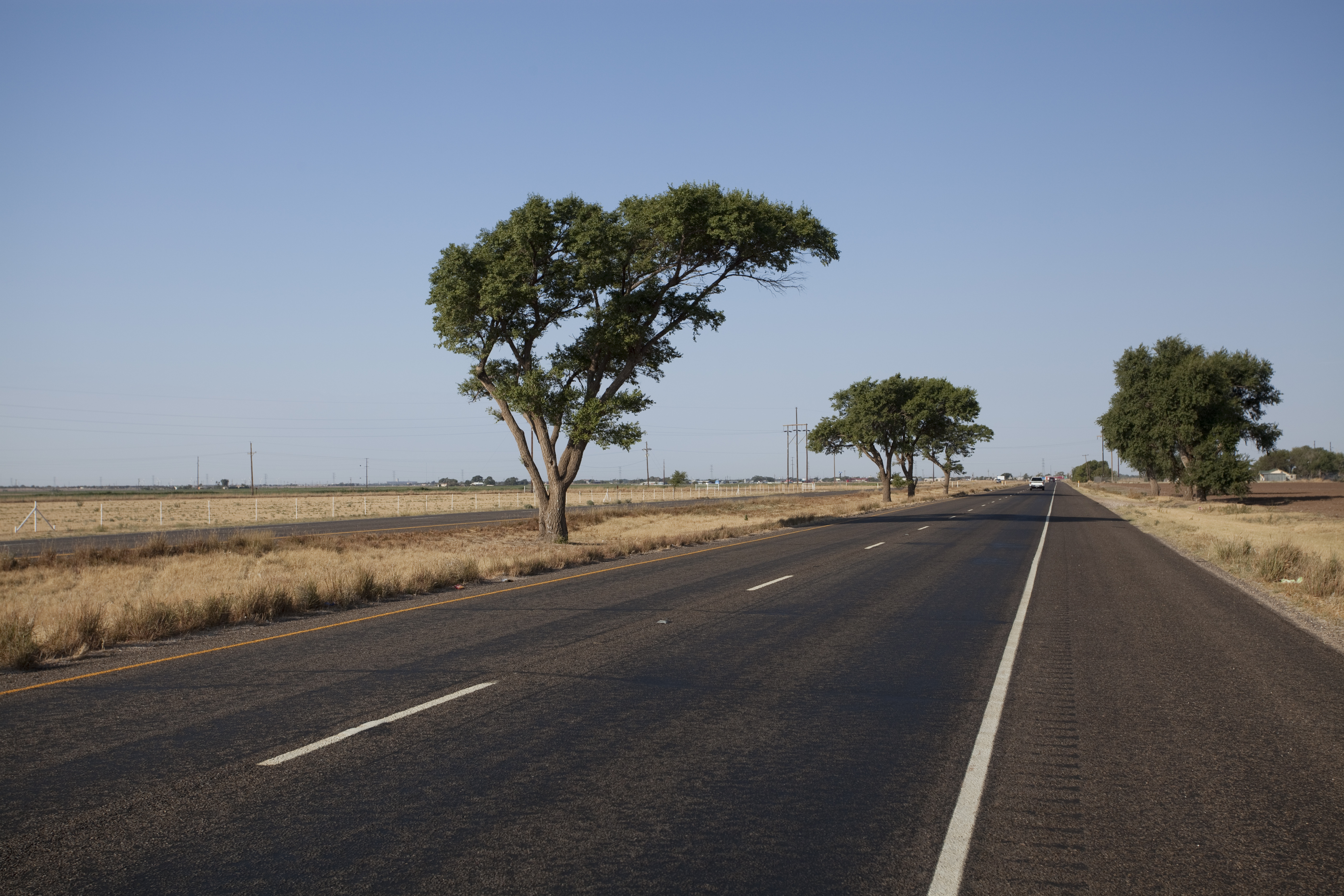
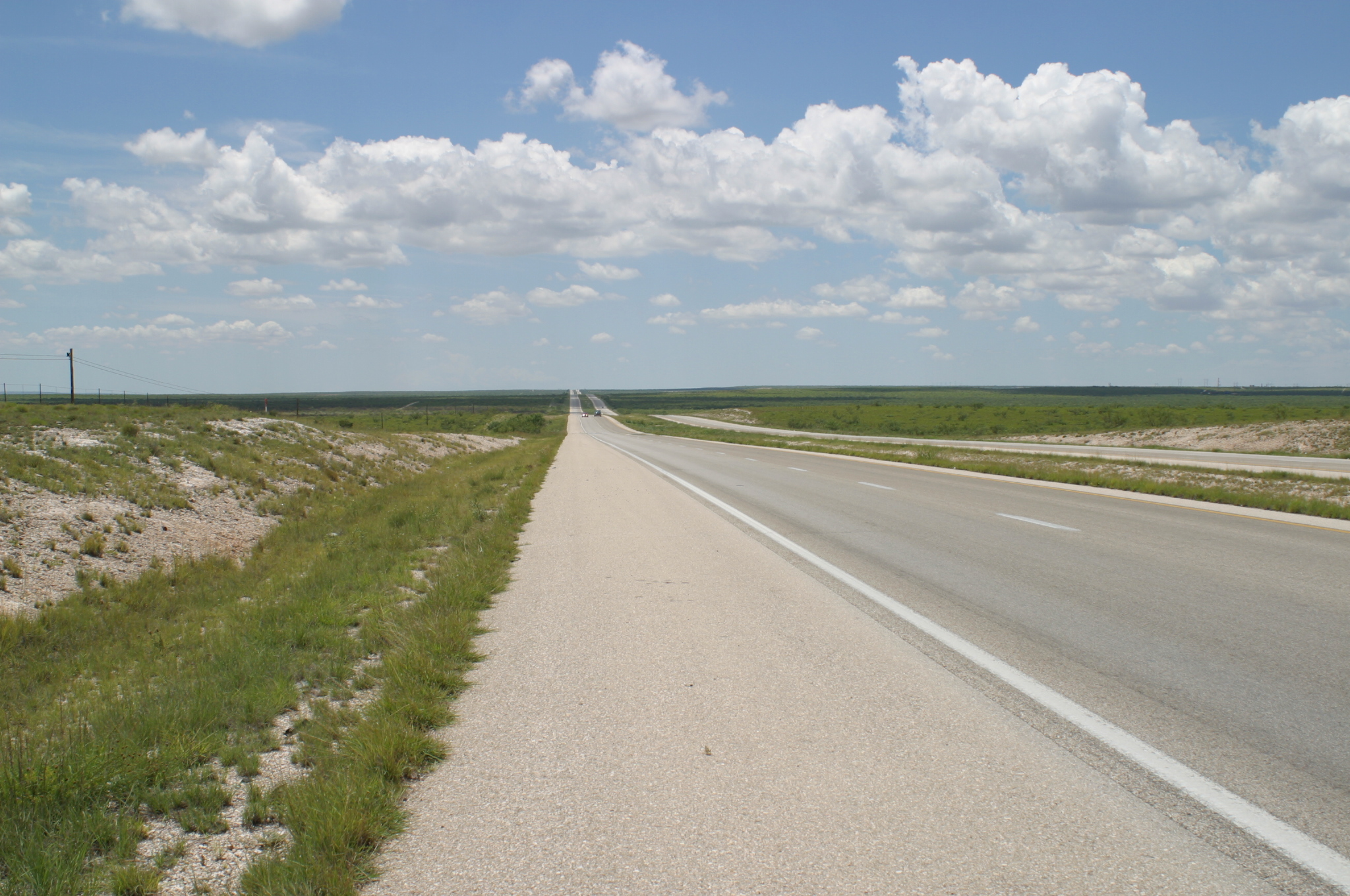
U.S. Route 82 (US 82) is an east–west United States highway in the Southern United States. Created on July 1, 1931 across central Mississippi and southern Arkansas, US 82 eventually became a 1,625-mile (2,615 km) route extending from the White Sands of New Mexico to Georgia's Atlantic coast. The highway's eastern terminus is in Brunswick, Georgia, at an interchange with Interstate 95. It is co-signed for its last ½-mile with U.S. Route 17. Its western terminus is in Alamogordo, New Mexico at an intersection with U.S. Route 54 and U.S. Route 70. Route description New Mexico US 82 begins at an intersection with US highways 54 and 70 north of Alamogordo, and south of La Luz, New Mexico. Heading east out of Alamogordo the road ascends into the Sacramento Mountains, traveling through the Lincoln National Forest. While climbing steep Mexican Canyon, the highway passes the abandoned railroad trestles of the El Paso and Northeastern Railway, and passes through ... [...More Info...] [...Related Items...] OR: [Wikipedia] [Google] [Baidu] |
US 62
U.S. Route 62 or U.S. Highway 62 (US 62) runs from the Mexican border at El Paso, Texas, to Niagara Falls, New York, near the Canadian border. It is the only east-west United States Numbered Highway that connects Mexico and Canada. Parts of US 62 follow what once was the Ozark Trail, including the historic bridge across the South Canadian River in Newcastle, Oklahoma (the first structure built with federal highway funds in Oklahoma). This bridge was damaged beyond repair by the 2013 Moore tornado that struck Newcastle and Moore, Oklahoma. The highway is signed north–south in New York and Pennsylvania. Route description , - , TX , , - , NM , , - , OK , , - , AR , , - , MO , , - , IL , , - , KY , , - , OH , , - , PA , , - , NY , , - , Total , West Texas US 62 has two separate segments in Texas, separated by a portion in New Mexico with the first section in Texas from its terminus in El Paso to the state line in the Guadalupe Mou ... [...More Info...] [...Related Items...] OR: [Wikipedia] [Google] [Baidu] |
Country Club
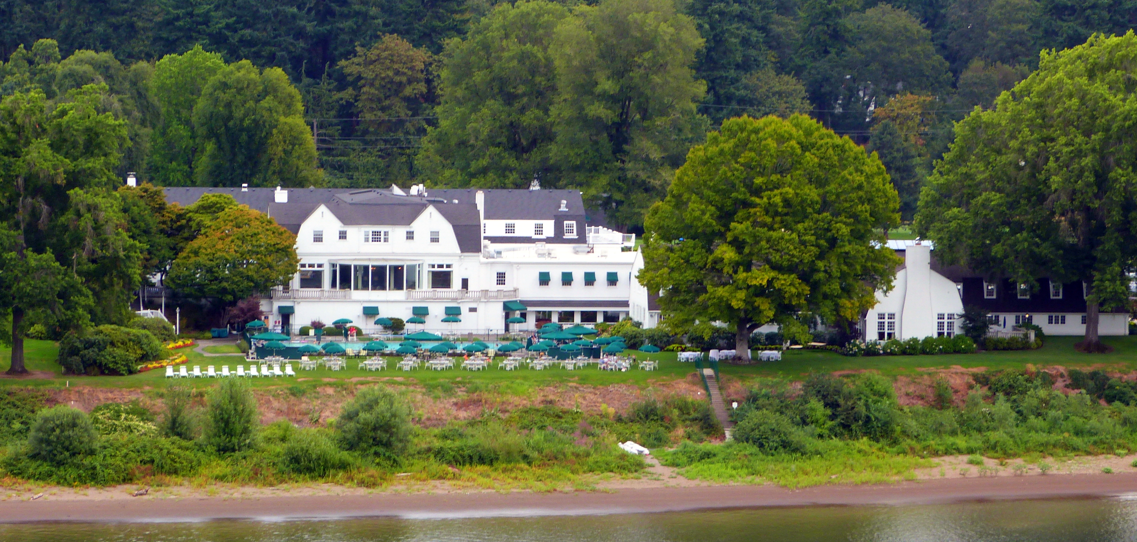
A country club is a privately owned club, often with a membership quota and admittance by invitation or sponsorship, that generally offers both a variety of recreational sports and facilities for dining and entertaining. Typical athletic offerings are golf, tennis, and swimming. Where golf is the principal or sole sporting activity, and especially outside of the United States and Canada, it is common for a country club to be referred to simply as a golf club. Country clubs are most commonly located in city outskirts or suburbs, due to the requirement of having substantial grounds for outdoor activities, which distinguishes them from an urban athletic club. Country clubs originated in Scotland and first appeared in the US in the early 1880s.Simon, Roger D. “Country Clubs.” In The Encyclopedia of American Urban History, edited by David R. Goldfield, 193-94. Thousand Oaks, CA: SAGE Publications, Inc., 2007. doi: 10.4135/9781412952620.n110. Country clubs had a profound effect ... [...More Info...] [...Related Items...] OR: [Wikipedia] [Google] [Baidu] |
Floydada, TX
Floydada ( ) is a city in and the county seat of Floyd County, Texas, United States. This rural community lies on the high plains of the Llano Estacado in West Texas and is sometimes referred to as the Pumpkin Capital of Texas. The population was 3,038 at the 2010 census, down from 3,676 at the 2000 census. History According to the Texas State Historical Association, the community of Floydada was originally named "Floyd City". It was established in 1890 on of land donated by James B. and Caroline Price of Jefferson City, Missouri. Floydada won the election as county seat over Della Plain. When a post office opened, the name was changed to "Floydada". The meaning of the name is disputed. Some claim it was meant to be "Floydalia" but was garbled in transmission to the U.S. Postal Service, while others insist it is a combination of the county's name and that of James Price's mother, Ada. A third view is that it was formed from Caroline Price's parents, Floyd and Ada. Floydada be ... [...More Info...] [...Related Items...] OR: [Wikipedia] [Google] [Baidu] |
Fort Griffin
Fort Griffin, now a Texas state historic site as Fort Griffin State Historic Site, was a US Cavalry fort established 31 July 1867 by four companies of the Sixth Cavalry, U.S. ArmyCarter, R.G., ''On the Border with Mackenzie'', 1935, Washington D.C.: Enyon Printing Co., p. 49 under the command of Lt. Col. S. D. Sturgis,Rister, C. C., 1956, ''Fort Griffin, On the Texas Frontier'', Norman: University of Oklahoma Press, in the western part of North Texas, specifically northwestern Shackelford County, to give settlers protection from early Comanche and Kiowa raids. Originally called Camp Wilson after Henry Hamilton Wilson, a recently deceased lieutenant and son of Radical Republican senator and later vice president, Henry Wilson, it was later named for Charles Griffin, a former Civil War Union general who had commanded, as de facto military governor, the Department of Texas during the early years of Reconstruction. Other forts in the southwestern frontier fort system were Lancaste ... [...More Info...] [...Related Items...] OR: [Wikipedia] [Google] [Baidu] |
Post Office
A post office is a public facility and a retailer that provides mail services, such as accepting letters and parcels, providing post office boxes, and selling postage stamps, packaging, and stationery. Post offices may offer additional services, which vary by country. These include providing and accepting government forms (such as passport applications), and processing government services and fees (such as road tax, postal savings, or bank fees). The chief administrator of a post office is called a postmaster. Before the advent of postal codes and the post office, postal systems would route items to a specific post office for receipt or delivery. During the 19th century in the United States, this often led to smaller communities being renamed after their post offices, particularly after the Post Office Department began to require that post office names not be duplicated within a state. Name The term "post-office" has been in use since the 1650s, shortly after the legali ... [...More Info...] [...Related Items...] OR: [Wikipedia] [Google] [Baidu] |
South Plains
The South Plains is a region in northwest Texas, consisting of 24 counties. The main crop is cotton. Counties The South Plains region includes 24 counties: The northernmost four (Parmer, Castro, Swisher, and Briscoe) are also considered to be part of the Texas Panhandle region. The region consists of a portion of the Texas side of the geographical Llano Estacado and the western portion of the lower part of the Southwestern Tablelands ecological region. South Plains extends south of the Texas Panhandle, centered at Lubbock. While prominent in the area of petroleum production, the South Plains is mainly an agricultural region, producing a great percentage of the nation's cotton and possessing numerous large cattle ranches. The South Plains is also home to several colleges and universities, the largest being Texas Tech University in Lubbock. Major cities and towns Cotton Cotton is the most common crop grown in South Plains region. In 2004 and again in 2005, records were broke ... [...More Info...] [...Related Items...] OR: [Wikipedia] [Google] [Baidu] |
West Texas
West Texas is a loosely defined region in the U.S. state of Texas, generally encompassing the arid and semiarid lands west of a line drawn between the cities of Wichita Falls, Abilene, and Del Rio. No consensus exists on the boundary between East Texas and West Texas. While most Texans understand these terms, no boundaries are officially recognized and any two individuals are likely to describe the boundaries of these regions differently. Walter Prescott Webb, American historian and geographer, suggested that the 98th meridian separates East and West Texas; Texas writer A.C. Greene proposed that West Texas extends west of the Brazos River. Use of a single line, though, seems to preclude the use of other separators, such as an area— Central Texas. Unlike East Texas, West Texas is not generally considered to be part of the American South, and the dry, desert climate is often more associated with the American Southwest. West Texas is often subdivided according to disti ... [...More Info...] [...Related Items...] OR: [Wikipedia] [Google] [Baidu] |


.jpg)
