|
Big Maria Mountains
The Big Maria Mountains are located in the southeastern part of the U.S. state of California, near the Colorado River and Arizona. The range lies between Blythe and Vidal, and west of U.S. Route 95 in California and east of Midland. The mountains are home to the Eagle Nest Mine and reach an elevation of 1,030 meters, (3,379 ft). A power line that runs from Parker Dam to Yuma, Arizona runs through the range. A smaller range, the Little Maria Mountains, lie to the west of the Big Marias. Geology The Big Maria Mountains are one of several ranges that constitute the Maria fold and thrust belt (MFTB). The MFTB underwent generally thick-skinned (involving basement rocks) north–south trending crustal shortening in the Cretaceous. The structures of the MFTB are exposed by to later generally east–west trending large-scale crustal extension in the Miocene, through what is known to geologists as the Colorado River Extensional Corridor This north–south shortening is anomalous ... [...More Info...] [...Related Items...] OR: [Wikipedia] [Google] [Baidu] |
Parker Valley
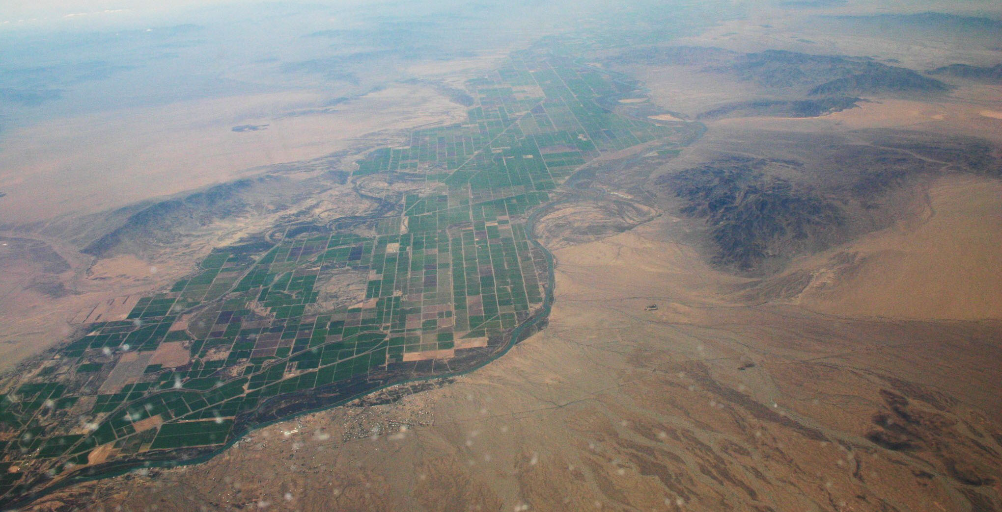
The Parker Valley is located along the Lower Colorado River within the Lower Colorado River Valley region, in southwestern Arizona and southeastern California. Its natural habitats are within the Sonoran Desert (Arizona) and Colorado Desert (California) ecoregions. Riparian zone habitats on the river include Mesquite Bosques. The river has supported irrigated agricultural conversion of the valley's landscape. Geography Three major drainages of the Colorado River enter in the Parker Valley region. The Bill Williams River and Bouse Wash have confluences with the Colorado in the northern valley area, from watersheds on the east. Tyson Wash crosses the La Posa Plain and enters downstream, with its watershed east of the river in the Colorado River Indian Reservation. In California, the Vidal Valley and the Whipple Mountains border the Parker Valley on the northwest, and the Palo Verde Valley on the southwest. In Arizona the Buckskin Mountains border the valley on the north, the Ca ... [...More Info...] [...Related Items...] OR: [Wikipedia] [Google] [Baidu] |
Colorado River Extensional Corridor
Colorado (, other variants) is a state in the Mountain West subregion of the Western United States. It encompasses most of the Southern Rocky Mountains, as well as the northeastern portion of the Colorado Plateau and the western edge of the Great Plains. Colorado is the eighth most extensive and 21st most populous U.S. state. The 2020 United States census enumerated the population of Colorado at 5,773,714, an increase of 14.80% since the 2010 United States census. The region has been inhabited by Native Americans and their ancestors for at least 13,500 years and possibly much longer. The eastern edge of the Rocky Mountains was a major migration route for early peoples who spread throughout the Americas. "''Colorado''" is the Spanish adjective meaning "ruddy", the color of the Fountain Formation outcroppings found up and down the Front Range of the Rocky Mountains. The Territory of Colorado was organized on February 28, 1861, and on August 1, 1876, U.S. President Ulysses S. ... [...More Info...] [...Related Items...] OR: [Wikipedia] [Google] [Baidu] |

