|
Belmont Hills, Montgomery County, Pennsylvania
Located in Lower Merion Township, Montgomery County, Pennsylvania, United States, Belmont Hills is a suburb of Philadelphia. Belmont Hills is a neighborhood within the village of Bala Cynwyd. It is a distinct community with its own public elementary school, public pool, fire department and public library. Belmont Hills is known for its hilly terrain. Belmont means "Beautiful Mountain" so its literal name is "Beautiful Mountain Hills". Name changes Until the Reading Railroad was built, Belmont Hills was known as Rocky Hill. It was then called West Manayunk. In the 1950s the name was changed to the current name. History The Ashland Avenue School was built in 1919, starting with grades K-8; twenty years later, it became K-6. In 1952, the school was renamed Belmont Hills School. In 1978, the grades changed to K-5. The school was closed in June 1982 because there were too many elementary schools and not enough children in the area. In 1999 Belmont Hills was reopened as Belmont Hills E ... [...More Info...] [...Related Items...] OR: [Wikipedia] [Google] [Baidu] |
Lower Merion Township, Pennsylvania
Lower Merion Township is a township in Montgomery County, Pennsylvania. It is part of the Philadelphia Main Line. The township's name originates with the county of Merioneth in north Wales. Merioneth is an English-language transcription of the Welsh ''Meirionnydd''. Lower Merion is one of the major inner ring suburbs of Philadelphia, along with Upper Darby, Haverford, and Cheltenham. With a population of 63,633, Lower Merion Township is the ninth most populous city, town or borough in Pennsylvania as of the 2020 U.S. census. Lower Merion Township is located south of Allentown, Pennsylvania's third largest city, and northwest of Philadelphia, the state's largest city. History Lower Merion Township was first settled in 1682 by Welsh Quakers, who were granted a tract of land, the Welsh Tract, by William Penn. In 1713, Lower Merion was established as an independent Township with about 52 landholders and tenants. In 1900, the Township was incorporated as a Township of the ... [...More Info...] [...Related Items...] OR: [Wikipedia] [Google] [Baidu] |
Montgomery County, Pennsylvania
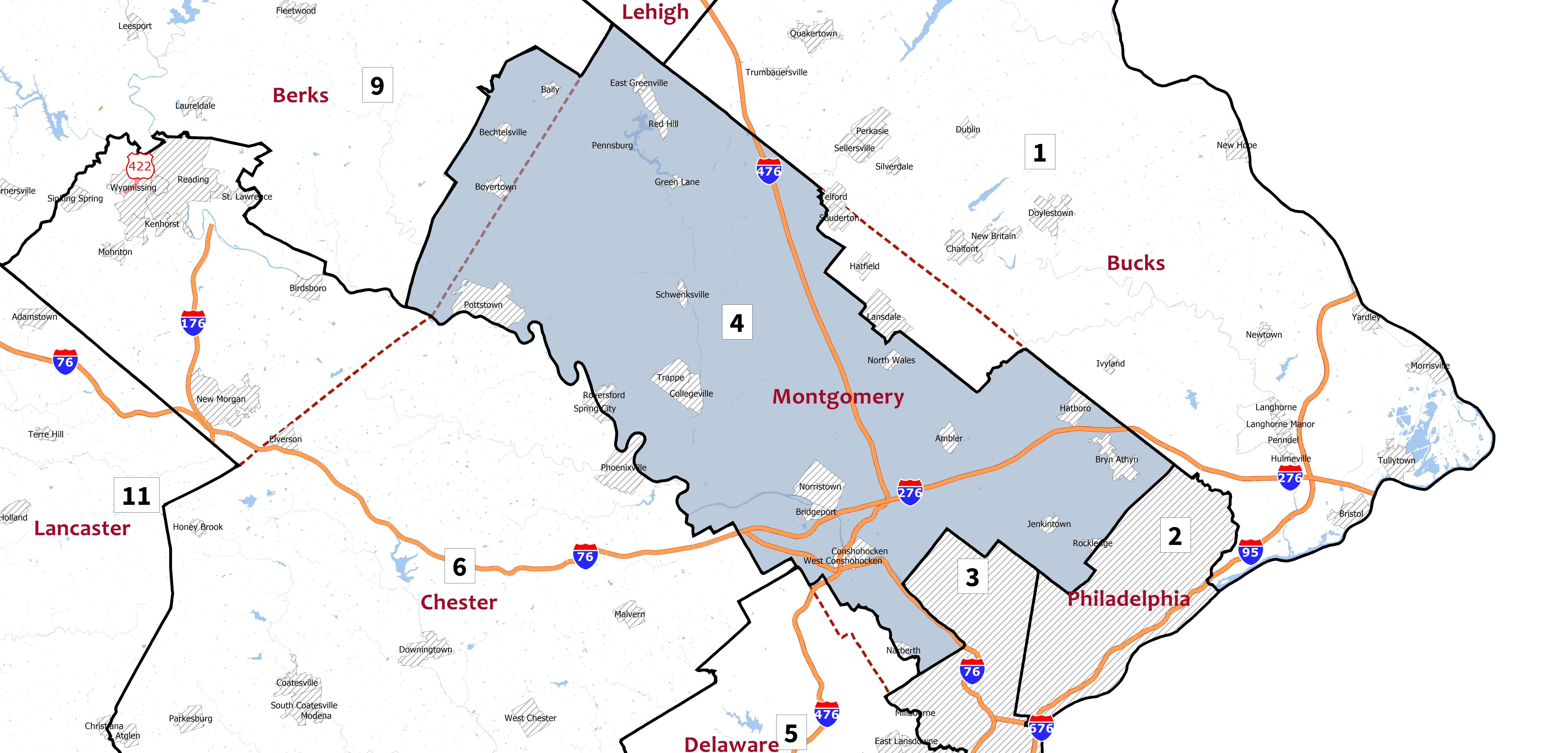
Montgomery County is a county in the Commonwealth of Pennsylvania. It is the third-most populous county in Pennsylvania and the 73rd-most populous county in the United States. As of the 2020 census, the population of the county was 856,553, representing a 7.1% increase from the 799,884 residents enumerated in the 2010 census. Montgomery County is located adjacent to and northwest of Philadelphia. The county seat and largest city is Norristown. Montgomery County is geographically diverse, ranging from farms and open land in the extreme north of the county to densely populated suburban neighborhoods in the southern and central portions of the county. Montgomery County is included in the Philadelphia- Camden- Wilmington PA- NJ- DE- MD metropolitan statistical area, sometimes expansively known as the Delaware Valley. The county marks part of the Delaware Valley's northern border with the Lehigh Valley region of Pennsylvania. In 2010, Montgomery County was the 66th-wealthiest ... [...More Info...] [...Related Items...] OR: [Wikipedia] [Google] [Baidu] |
Bala Cynwyd, Pennsylvania
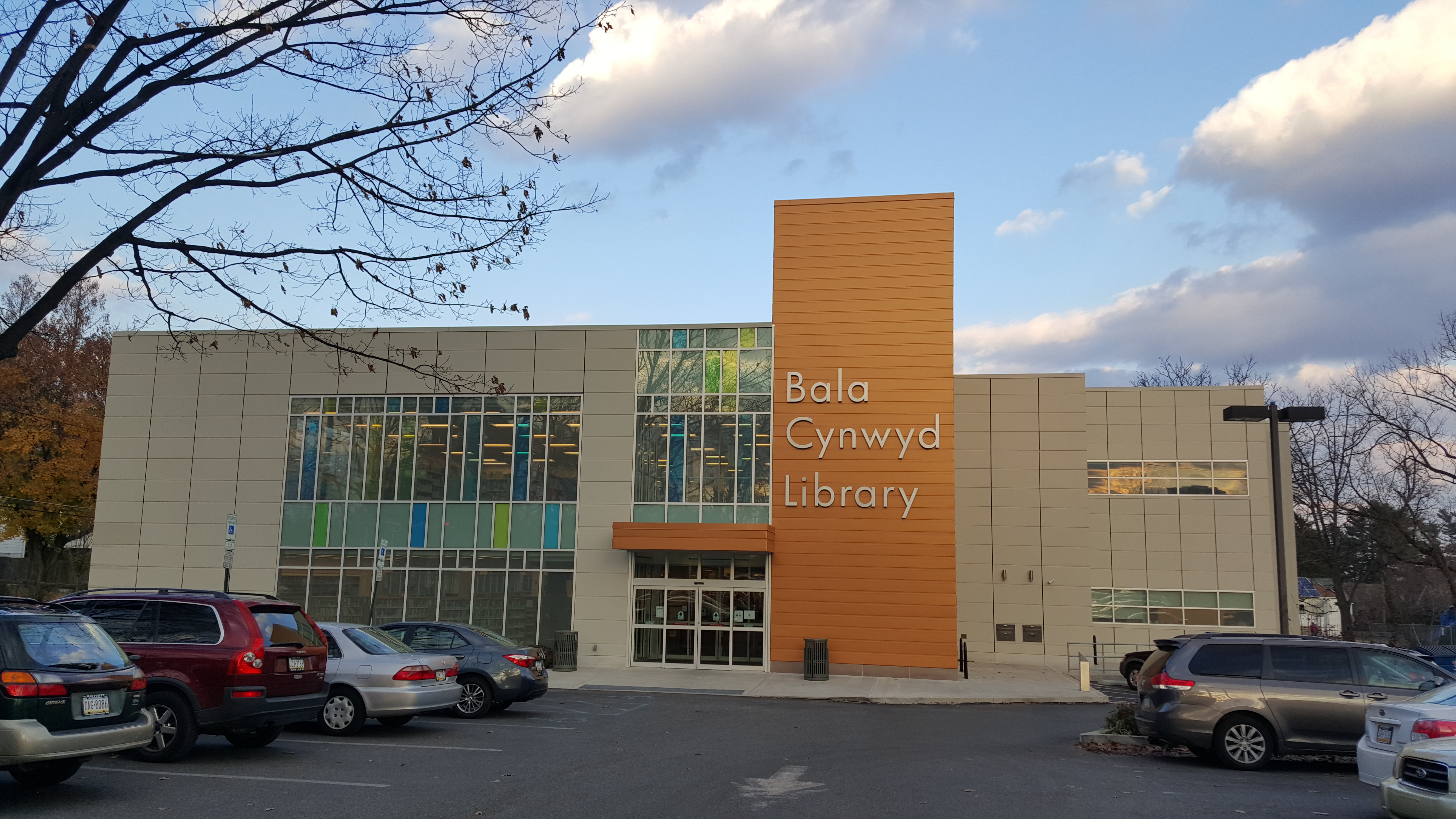
Bala Cynwyd ( ) is a community in Lower Merion Township, Pennsylvania. It is located on the Philadelphia Main Line in Southeastern Pennsylvania, bordering the western edge of Philadelphia at U.S. Route 1 (City Avenue). It was originally two separate towns, Bala and Cynwyd, but is commonly treated as a single community. This came about when a single U.S. Post Office served both towns (the Bala Cynwyd branch) using ZIP Code 19004. The community was long known as hyphenated Bala-Cynwyd. Bala and Cynwyd are currently served by separate stations on SEPTA's Cynwyd Line of Regional Rail. Description Bala Cynwyd lies in the Welsh Tract of Pennsylvania and was settled in the 1680s by Welsh Quakers, who named it after the town of Bala and the village of Cynwyd in Wales. A mixed residential community made up predominantly of single-family detached homes, it extends west of the Philadelphia city limits represented by City Avenue from Old Lancaster Road at 54th Street west to Meeting House ... [...More Info...] [...Related Items...] OR: [Wikipedia] [Google] [Baidu] |
Reading Company
The Reading Company ( ) was a Philadelphia-headquartered railroad that provided passenger and commercial rail transport in eastern Pennsylvania and neighboring states that operated from 1924 until its 1976 acquisition by Conrail. Commonly called the Reading Railroad, and logotyped as Reading Lines, the Reading Company was a railroad holding company for the majority of its existence and was a single railroad during its later years. It operated service as Reading Railway System and was a successor to the Philadelphia and Reading Railway Company, founded in 1833. Until the decline in anthracite loadings in the Coal Region after World War II, it was one of the most prosperous corporations in the United States. Competition with the modern trucking industry that used the interstate highway system for short-distance transportation of goods, also known as short hauls, compounded the company's problems, forcing it into bankruptcy in 1971. Its railroad operations were merged into Conrail i ... [...More Info...] [...Related Items...] OR: [Wikipedia] [Google] [Baidu] |
Architectural Plan
In architecture and building engineering, a floor plan is a technical drawing to scale, showing a view from above, of the relationships between rooms, spaces, traffic patterns, and other physical features at one level of a structure. Dimensions are usually drawn between the walls to specify room sizes and wall lengths. Floor plans may also include details of fixtures like sinks, water heaters, furnaces, etc. Floor plans may include notes for construction to specify finishes, construction methods, or symbols for electrical items. It is also called a ''plan'' which is a measured plane typically projected at the floor height of , as opposed to an ''elevation'' which is a measured plane projected from the side of a building, along its height, or a section or ''cross section'' where a building is cut along an axis to reveal the interior structure. Overview Similar to a map, the orientation of the view is downward from above, but unlike a conventional map, a plan is drawn at a part ... [...More Info...] [...Related Items...] OR: [Wikipedia] [Google] [Baidu] |
Philadelphia Main Line
The Philadelphia Main Line, known simply as the Main Line, is an informally delineated historical and social region of suburban Philadelphia, Pennsylvania. Lying along the former Pennsylvania Railroad's once prestigious Main Line, it runs northwest from Center City Philadelphia parallel to Lancaster Avenue, also known as U.S. Route 30. The railroad first connected the Main Line towns in the 19th century. They became home to sprawling country estates belonging to Philadelphia's wealthiest families, and over the decades became a bastion of " old money". Today, the Main Line includes some of the wealthiest communities in the country, including Gladwyne, Villanova, Radnor, and Ardmore. Today, the railroad is Amtrak's Keystone Corridor, along which SEPTA's Paoli/Thorndale Line operates. History The Main Line region was long part of Lenapehoking, the homeland of the matrilineal Lenni Lenape Native Americans (the "true people", or "Delaware Indians"). Europeans arrived in t ... [...More Info...] [...Related Items...] OR: [Wikipedia] [Google] [Baidu] |
Unincorporated Communities In Montgomery County, Pennsylvania
Unincorporated may refer to: * Unincorporated area, land not governed by a local municipality * Unincorporated entity, a type of organization * Unincorporated territories of the United States, territories under U.S. jurisdiction, to which Congress has determined that only select parts of the U.S. Constitution apply * Unincorporated association Unincorporated associations are one vehicle for people to cooperate towards a common goal. The range of possible unincorporated associations is nearly limitless, but typical examples are: :* An amateur football team who agree to hire a pitch onc ..., also known as voluntary association, groups organized to accomplish a purpose * ''Unincorporated'' (album), a 2001 album by Earl Harvin Trio {{disambig ... [...More Info...] [...Related Items...] OR: [Wikipedia] [Google] [Baidu] |


