|
Belconnen
The District of Belconnen () is one of the original eighteen districts of the Australian Capital Territory (ACT), used in land administration. The district is subdivided into 27 divisions (suburbs), sections and blocks. The district of Belconnen is largely composed of Canberra suburbs. As at the , the district had a population of people; and was the most populous district within the Australian Capital Territory (ACT). Belconnen is situated approximately to the north-west of the central business district of Canberra, and surrounds an artificially created, ornamental lake, Lake Ginninderra. Lake Ginninderra was made possible by building a dam at an elbow of Ginninderra Creek. Exiting the lake, via a simple overflow, Ginninderra Creek continues, and runs north-west to its confluence with the Murrumbidgee River just beyond the north-western ACT border. Establishment and governance Following the transfer of land from the Government of New South Wales to the Commonwealth Governme ... [...More Info...] [...Related Items...] OR: [Wikipedia] [Google] [Baidu] |
Jamison Centre
Jamison Centre () is a large shopping centre located in Belconnen's eastern suburb of Macquarie, Australian Capital Territory. Comprising two indoor/outdoor complexes and a range of standalone stores and facilities, the centre is anchored by Coles and Aldi stores. Other notable facilities are the Jamison branch of the Canberra Southern Cross Club and the Big Splash Water Park. Jamison Centre is serviced by ACTION bus route 32 which connects Jamison Centre to Belconnen Town Centre and Civic. Transport Canberra It is also easily accessible by road from |
Ginninderra Electorate
The Ginninderra electorate is one of the five electorates for the unicameral 25-member Australian Capital Territory Legislative Assembly. It elects five members. History It was created in 1995, when the three-electorate, Hare-Clark electoral system was first introduced for the Australian Capital Territory (ACT). Prior to 1995, a multi-member single constituency existed for the whole of the ACT. The name "Ginninderra" is derived from an Aboriginal word meaning "sparkling like the stars". It is the name given to the creek that flows through the middle of Belconnen, which was dammed to form Lake Ginninderra, the lake on which the Belconnen Town Centre is sited. Location The Ginninderra electorate comprises the southern part of the district of Belconnen, including the suburbs of Aranda, Belconnen, Bruce, Charnwood, Cook, Dunlop, Evatt, Florey, Flynn, Fraser, Hawker, Higgins, Holt, Latham, Lawson, Macgregor, Macnamara, Macquarie, Melba, McKellar, Page, Scullin, Spence, ... [...More Info...] [...Related Items...] OR: [Wikipedia] [Google] [Baidu] |
Canberra
Canberra ( ) is the capital city of Australia. Founded following the federation of the colonies of Australia as the seat of government for the new nation, it is Australia's largest inland city and the eighth-largest city overall. The city is located at the northern end of the Australian Capital Territory at the northern tip of the Australian Alps, the country's highest mountain range. As of June 2021, Canberra's estimated population was 453,558. The area chosen for the capital had been inhabited by Indigenous Australians for up to 21,000 years, with the principal group being the Ngunnawal people. European settlement commenced in the first half of the 19th century, as evidenced by surviving landmarks such as St John's Anglican Church and Blundells Cottage. On 1 January 1901, federation of the colonies of Australia was achieved. Following a long dispute over whether Sydney or Melbourne should be the national capital, a compromise was reached: the new capital would be buil ... [...More Info...] [...Related Items...] OR: [Wikipedia] [Google] [Baidu] |
Division Of Fenner
The Division of Fenner is an Divisions of the Australian House of Representatives, Australian Electoral Division in the Australian Capital Territory and the Jervis Bay Territory. As of the 2018 redistribution, it includes Gungahlin, Australian Capital Territory, Gungahlin and the part of Belconnen, Australian Capital Territory, Belconnen north of Belconnen Way and west of Eastern Valley Way, Aikman Drive and William Slim Drive (the suburbs of Belconnen, Charnwood, Australian Capital Territory, Charnwood, Dunlop, Australian Capital Territory, Dunlop, Evatt, Australian Capital Territory, Evatt, Florey, Australian Capital Territory, Florey, Flynn, Australian Capital Territory, Flynn, Fraser, Australian Capital Territory, Fraser, Higgins, Australian Capital Territory, Higgins, Holt, Australian Capital Territory, Holt, Latham, Australian Capital Territory, Latham, Macgregor, Australian Capital Territory, Macgregor, Macnamara, Australian Capital Territory, Macnamara, McKellar, Australi ... [...More Info...] [...Related Items...] OR: [Wikipedia] [Google] [Baidu] |
Gungahlin (district)
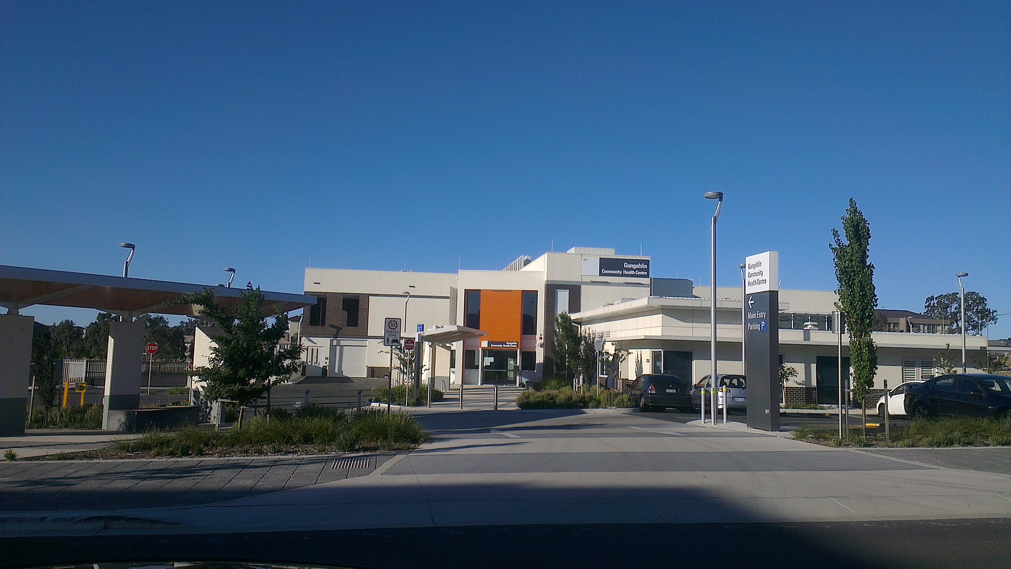
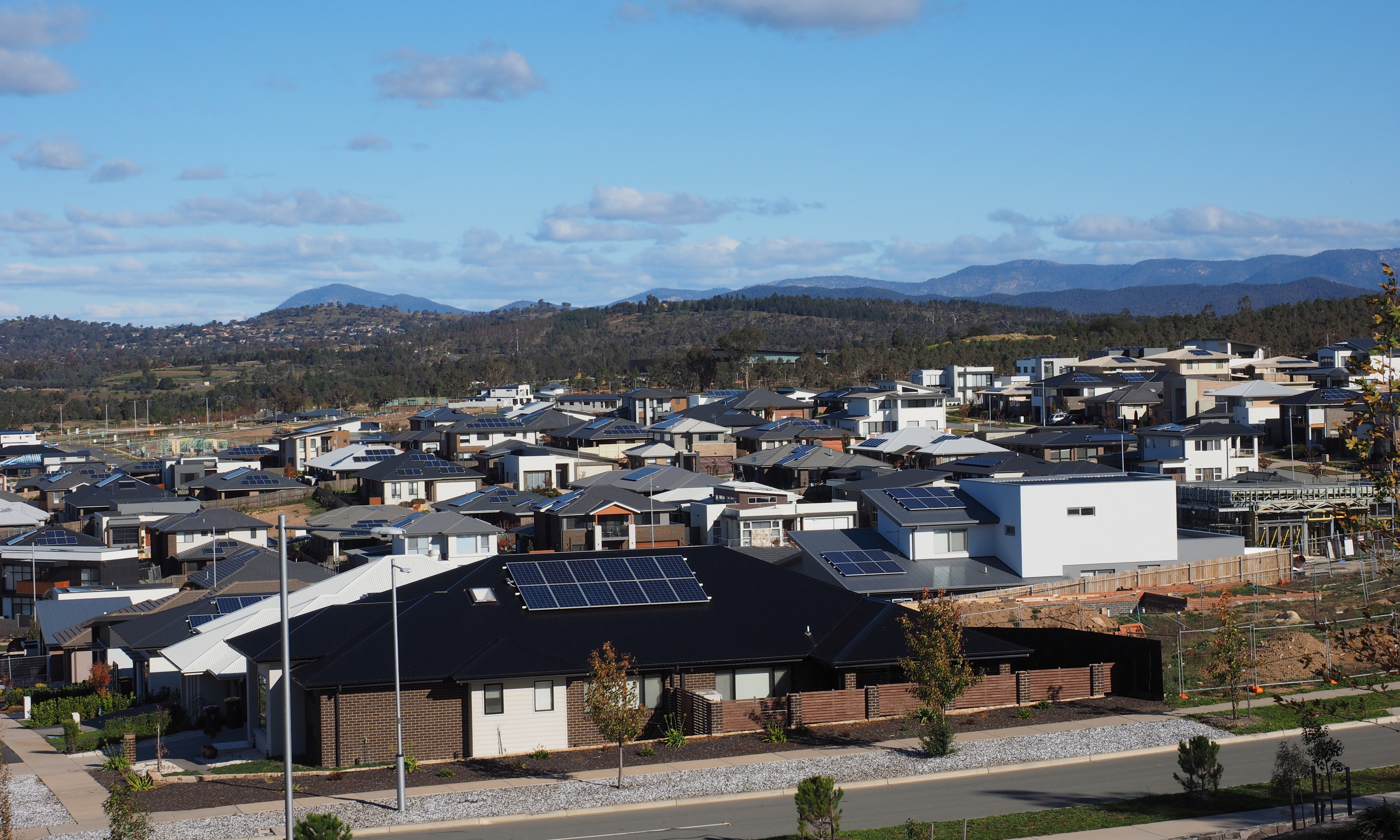
The District of Gungahlin () is one of the original eighteen districts of the Australian Capital Territory used in land administration. The Gungahlin Region is one of fastest growing regions within Australia. The district is subdivided into divisions (suburbs), sections and blocks. ''Gungahlin'' is an Aboriginal word meaning either "white man's house" or "little rocky hill". Gungahlin comprised sixteen suburbs, including several currently under construction and a further suburb planned. The town of Gungahlin was part of the original 1957 plan for future development in the ACT and in 1991 was officially launched as Canberra's fourth 'town' by the ACT Chief Minister. At the time, the population of Gungahlin was just 389 residents. At the , the population of the district was 87,682. Within the district is Canberra's northernmost town centre that is situated north of Canberra city centre. The town centre is one of five satellites of Canberra, seated in Woden, Tuggeranong, Westo ... [...More Info...] [...Related Items...] OR: [Wikipedia] [Google] [Baidu] |
Molonglo Valley
The District of Molonglo Valley is one of the nineteen districts of the Australian Capital Territory used in land administration, and the only district that was not created in 1966. The district is subdivided into divisions (suburbs), sections and blocks and is the newest district of Canberra, the capital city of Australia. The district is planned to consist of thirteen suburbs, planned to contain dwellings, with an expected population of between and . To be developed in three stages over more than ten years, the district will contain a principal town centre and a secondary group centre, with residential suburbs located to the south and north of the Molonglo River; located to the west of Lake Burley Griffin. The name ''Molonglo'' is derived from an Aboriginal expression meaning "the sound of thunder". At the , the population of the district was 11,435, an increase from 4,578 in 2016. Establishment and governance The traditional custodians of the district are the indigenous ... [...More Info...] [...Related Items...] OR: [Wikipedia] [Google] [Baidu] |
Ginninderra
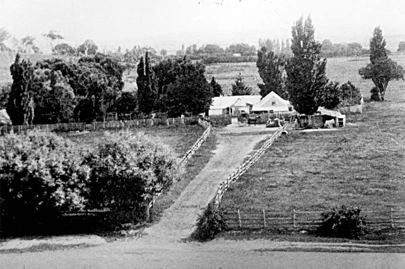
Ginninderra is the name of the former agricultural lands surrendered to urban development on the western and north-western fringes of Canberra, the capital of Australia. Ginninderra corresponds with the watershed of Ginninderra Creek, which is now in part occupied by the Canberra districts of Belconnen and Gungahlin. The word 'Ginninderra' is one of several - Molonglo, Gold Creek and Monaro are others - that hold longstanding connections to Canberra's local history. The Ginninderra Cricket Club, Ginninderra District High School and Ginninderra Labor Club are examples. One of the local ACT electorates is called Ginninderra. The name is celebrated through the place name Ginninderra Drive, an arterial road that traverses the Canberra district of Belconnen. Ginninderra Plain The Ginninderra Plain is bound by the Spring Range and the NSW-ACT border to the north, by Black Mountain and the O'Connor Ridge to the east, by a line of hills leading west from Mount Payntor towards the Mur ... [...More Info...] [...Related Items...] OR: [Wikipedia] [Google] [Baidu] |
Lake Ginninderra
Lake Ginninderra is an artificial lake located on the Ginninderra Creek in Canberra. It is adjacent to the Belconnen Town Centre. The lake was constructed in 1974 to collect stormwater discharge from a catchment that includes the surrounding suburbs of Aranda, Macquarie, Cook, Bruce, Belconnen, McKellar, Giralang, Kaleen in the eastern areas of Belconnen. The lake is home to much wildlife, such as the Black swan, moorhens, ducks and the Rakali. The lake was formed through the construction of the Ginninderra Drive embankment across Ginninderra Creek. The lake has a surface area of and an average depth of . Water flow out of the lake is via a multi-celled concrete culvert structure and spillway chute on the Ginninderra Drive embankment. During 2004 the Ginninderra Drive embankment was raised by one metre. The earthen embankments on the Coulter Drive side of the lake have been raised as well. The Belconnen Arts Centre The Belconnen Arts Centre is an arts facility in Can ... [...More Info...] [...Related Items...] OR: [Wikipedia] [Google] [Baidu] |
Parkwood, New South Wales
Parkwood is a suburb of Yass Valley Council in New South Wales, Australia. The suburb is part of the West Belconnen / Parkwood cross-border development near the Australian Capital Territory and New South Wales border. History Parkwood is situated in the Ngunnawal traditional Aboriginal country. The origin of the name Parkwood is from the name given to a property by an early settler by the name of Thomas Southwell in 1854 near the confluence of Ginninderra Creek and Murrumbidgee River. In 1910, the ''Seat of Government (Administration)'' legislation enacted all property within the ACT being designated as Crown land, and ACT properties then became leasehold rather than freehold. The section of land in NSW north of the border (now known as Parkwood) remains freehold. Parkwood was approved, rezoned and designated as a suburb by Yass Valley Council in 2020. The Parkwood Planning Proposal was approved by the NSW Government in 2020. The NSW Government, ACT Government and Yass Valle ... [...More Info...] [...Related Items...] OR: [Wikipedia] [Google] [Baidu] |
Canberra Central
The District of Canberra Central is one of the original eighteen districts of the Australian Capital Territory used in land administration consisting of both the districts of North Canberra and South Canberra. The district is subdivided into divisions (suburbs), sections and blocks. The district of Canberra Central lies entirely within the bounds of the city of Canberra, the capital city of Australia. Establishment and governance The traditional custodians of the district are the indigenous people of the Ngunawal tribe. Following the transfer of land from the Government of New South Wales to the Commonwealth Government in 1911, the district was established in 1966 by the Commonwealth via the gazettal of the ''Districts Ordinance 1966'' (Cth) which, after the enactment of the ''Australian Capital Territory (Self-Government) Act'' 1988, became the ''Districts Act'' 1966. This Act was subsequently repealed by the ACT Government and the district is now administered subject to the ... [...More Info...] [...Related Items...] OR: [Wikipedia] [Google] [Baidu] |
Division Of Canberra
The Division of Canberra is an Australian electoral division in the Australian Capital Territory. It is named for the city of Canberra, Australia's national capital, and includes all of central Canberra, Kowen, Majura, as well as part of Weston Creek, Woden Valley, Molonglo Valley, Belconnen, and Jerrabomberra. It is currently held by Alicia Payne of the Labor Party. Geography Since 1984, federal electoral division boundaries in Australia have been determined at redistributions by a redistribution committee appointed by the Australian Electoral Commission. Redistributions occur for the boundaries of divisions in a particular state or territory, and they occur every seven years, or sooner if a state or territory's representation entitlement changes or when divisions of a state or territory are malapportioned. As of 2018, the division of Canberra includes Canberra Central, the Woden Valley suburbs of Curtin, Chifley, Garran and Hughes, the Belconnen suburbs of Aranda, B ... [...More Info...] [...Related Items...] OR: [Wikipedia] [Google] [Baidu] |
Wallaroo, New South Wales
Wallaroo is a rural locality in New South Wales close to the Australian Capital Territory. It lies north of the Australian Capital Territory border, north west of Hall, west of the Barton Highway, and east of the Murrumbidgee River. It is approximately 19 kilometres north-west of the Australian city of Canberra. At the , it had a population of 707. The cadastral unit in the area is known as Wallaroo Parish. Between 1981–1990, the Serbian Orthodox Church constructed the St. Sava monastery at Wallaroo. Established as the headquarters of the Serbian Orthodox Eparchy of Australia and New Zealand, the church is modeled on the Kalenić monastery in Serbia, built in the 15th century. Namesakes There is also a Wallaroo Parish, near Dubbo in Lincoln County, New South Wales that is not near this locality (approximately 350 kilometres away). There is also a Wallaroo Wallaroo is a common name for several species of moderately large macropods, intermediate in size between the kan ... [...More Info...] [...Related Items...] OR: [Wikipedia] [Google] [Baidu] |


