|
Bear River People
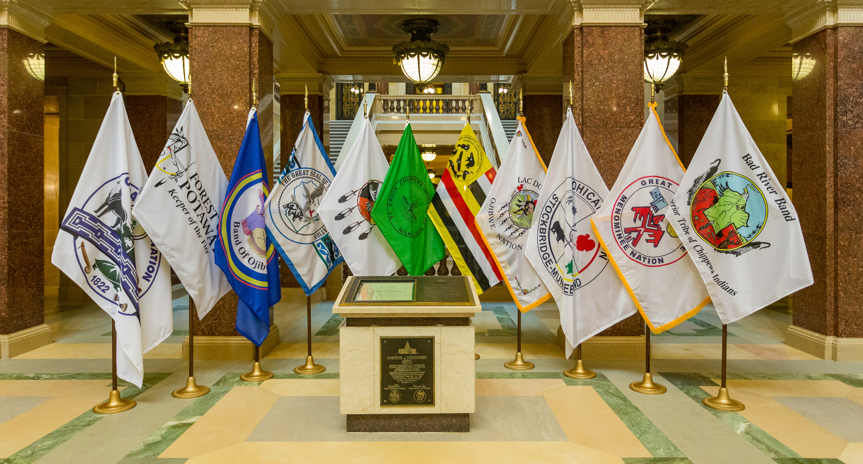
The Bear River Band of the Rohnerville Rancheria is a federally recognized tribe of Mattole, Bear River and Wiyot people in Humboldt County, California. Government The Bear River Band is headquartered in Loleta, California. Tribal enrollment is based on residency on the Rohnerville Rancheria from 1910 to 1960 or being a lineal descent of those residents. Reservation and traditional territories The Rohnerville Rancheria is a federally recognized ranchería located in two separate parts. One () is at the eastern edge of Fortuna, and the other () to the southeast of Loleta, both in Humboldt County. As of the 2010 Census the population was 38. The tribe's traditional territory was along the Mattole and Bear Rivers near Cape Mendocino. Wiyot people lived along the Little River down to the Bear River and eastward. The Mattole villages of Tcalko', Chilsheck, Selsche'ech, Tlanko, Estakana, and Sehtla were located along Bear River. Economic development The Bear River Band owns and ... [...More Info...] [...Related Items...] OR: [Wikipedia] [Google] [Baidu] |
Loleta CA Bear River Casino
Loleta may refer to: *Loleta, California Loleta (Wiyot: ''Guduwalhat'') is a census-designated place in Humboldt County, California. Loleta is located south of Fields Landing, and south of Eureka at an elevation of . The population was 783 at the 2010 census. Residents live in a cent ... * Loleta, Pennsylvania {{geodis ... [...More Info...] [...Related Items...] OR: [Wikipedia] [Google] [Baidu] |
Fortuna, California
Fortuna (Spanish for "Fortune"; Wiyot: ''Vutsuwitk Da'l'') is a city on the northeast shore of the Eel River, approximately from where it enters the Pacific Ocean, and is on U.S. Route 101 in west-central Humboldt County, California, United States. The population was 12,516 at the 2020 census, up from 11,926 at the 2000 census. History The settlement was originally called "Slide," for Slide Hill, in 1874, named for the slide that was a fixture on the northeast side of the Eel River and the southwest portion of Christian Ridge just to the northwest, near the edge of town. In 1875, the name was changed to Springville during the construction of the Springville Mill, a lumber mill for the nearby redwood forests, named so because of the numerous springs in the area. The mill's owners were Henry Rohner (namesake of neighboring Rohnerville), Alexander Masson, M. N. Weber and G. F. Gushaw. Springville was originally a company town belonging to the mill, and the few people that resi ... [...More Info...] [...Related Items...] OR: [Wikipedia] [Google] [Baidu] |
Federally Recognized Tribes In The United States
This is a list of federally recognized tribes in the contiguous United States of America. There are also federally recognized Alaska Native tribes. , 574 Indian tribes were legally recognized by the Bureau of Indian Affairs (BIA) of the United States.Federal Acknowledgment of the Pamunkey Indian Tribe Of these, 231 are located in Alaska. Description  In the United States, the Indian tribe is a fundamental unit, and the constitution grants
|
Native American Tribes In California
The indigenous peoples of California (known as Native Californians) are the indigenous inhabitants who have lived or currently live in the geographic area within the current boundaries of California before and after the arrival of Europeans. With over forty groups seeking to be federally recognized tribes, California has the second-largest Native American population in the United States. The California cultural area does not conform exactly to the state of California's boundaries. Many tribes on the eastern border with Nevada are classified as Great Basin tribes, and some tribes on the Oregon border are classified as Plateau tribes. Tribes in Baja California who do not cross into California are classified as indigenous peoples of Mexico. History Pre-contact Evidence of human occupation of California dates from at least 19,000 years ago. Prior to European contact, indigenous Californians had 500 distinct sub-tribes or groups, each consisting of 50 to 500 individual members. ... [...More Info...] [...Related Items...] OR: [Wikipedia] [Google] [Baidu] |
Algonquian Languages
The Algonquian languages ( or ; also Algonkian) are a subfamily of Indigenous languages of the Americas, indigenous American languages that include most languages in the Algic languages, Algic language family. The name of the Algonquian language family is distinguished from the orthographically similar Algonquin language, Algonquin dialect of the Indigenous Ojibwe language (Chippewa), which is a senior member of the Algonquian language family. The term ''Algonquin'' has been suggested to derive from the Maliseet word (), "they are our relatives/allies". A number of Algonquian languages are considered extinct languages by the modern linguistic definition. Algonquian peoples, Speakers of Algonquian languages stretch from the east coast of North America to the Rocky Mountains. The proto-language from which all of the languages of the family descend, Proto-Algonquian language, Proto-Algonquian, was spoken around 2,500 to 3,000 years ago. There is no scholarly consensus about wh ... [...More Info...] [...Related Items...] OR: [Wikipedia] [Google] [Baidu] |
Athapaskan Language
Athabaskan (also spelled ''Athabascan'', ''Athapaskan'' or ''Athapascan'', and also known as Dene) is a large family of indigenous languages of North America, located in western North America in three areal language groups: Northern, Pacific Coast and Southern (or Apachean). Kari and Potter (2010:10) place the total territory of the 53 Athabaskan languages at . Chipewyan is spoken over the largest area of any North American native language, while Navajo is spoken by the largest number of people of any native language north of Mexico. ''Athebaskan '' is a version of a Cree name for Lake Athabasca ( crm, Āðapāskāw, script=Latn 'herethere are reeds one after another'), in Canada. Cree is one of the Algonquian languages and therefore not itself an Athabaskan language. The name was assigned by Albert Gallatin in his 1836 (written 1826) classification of the languages of North America. He acknowledged that it was his choice to use that name for the language family and its associa ... [...More Info...] [...Related Items...] OR: [Wikipedia] [Google] [Baidu] |
Little River (Humboldt County)
The Little River is the river in the U.S. state of California, whose drainage basin is the largest on the Pacific coast between the Mad River and Big Lagoon. The river drains the forested Franciscan assemblage of the California Coast Ranges. The lowermost mile of channel is through Quaternary alluvium and dune sand of an estuarine floodplain typical of coastal inlets along the Cascadia subduction zone. Land seaward of U.S. Route 101 forms Little River State Beach and Clam Beach County Park. Little River State Park was established in 1931. The floodplain upstream of the Highway 101 bridge is cleared as grazing pasture, and the upland portion of the drainage basin, including the former company town of Crannell, is in private ownership growing forest products. In 2014, the North Coast regional water board recommended that the Little River be listed as an impaired waterway due to '' E. coli'' contamination 600 times greater than normal. References See also *List of rive ... [...More Info...] [...Related Items...] OR: [Wikipedia] [Google] [Baidu] |
Cape Mendocino
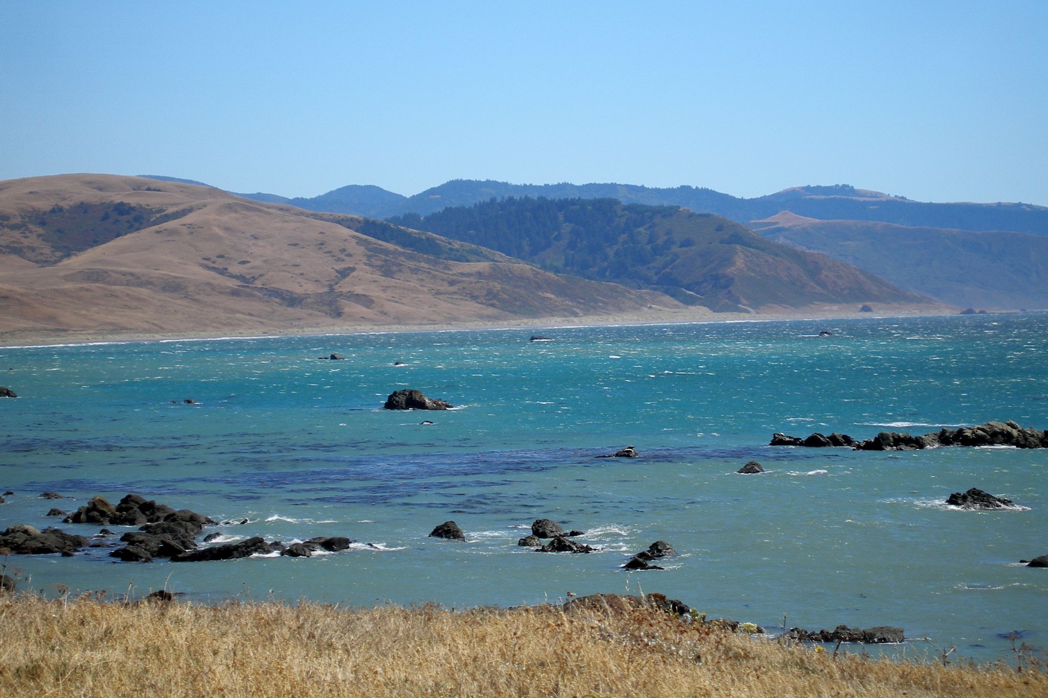
Cape Mendocino (Spanish: ''Cabo Mendocino'', meaning "Cape of Mendoza"), which is located approximately north of San Francisco, is located on the Lost Coast entirely within Humboldt County, California, United States. At 124° 24' 34" W longitude, it is the westernmost point on the coast of California. The South Cape Mendocino State Marine Reserve and Sugarloaf Island are immediately offshore, although closed to public access due to their protected status. Sugarloaf Island is cited as California's westernmost island. History It was named by 16th-century Spanish navigators to honor Antonio de Mendoza, Viceroy of New Spain, Cape Mendocino has been a landmark since the 16th century, when Manila Galleons followed the prevailing westerlies across the Pacific to the Cape, then followed the coast south to Acapulco, Mexico. The Cape Mendocino Light was lit on December 1, 1868, standing on eight prefabricated panels sent up from San Francisco. An automated light stood near the original lo ... [...More Info...] [...Related Items...] OR: [Wikipedia] [Google] [Baidu] |
Bear River (Humboldt County)
Bear River is the largest Pacific coastal drainage basin between the Mattole River and the Eel River. Bear River drains the ranch pastures and forests of California Coast Ranges south of the Bear River Ridge extending easterly from False Cape along the False Cape shear zone of the Russ Fault. The river channel through undivided Cretaceous marine formations exposes younger Neogene, namely middle or lower Pliocene, marine sedimentary and metasedimentary rocks near the mouth, but lacks the well defined offshore submarine canyons of the Eel River to the north and the Mattole River to the south. Bear River reaches the Pacific after flowing westerly approximately from elevations above along the ridge above the Bull Creek drainage of Humboldt Redwoods State Park. Bear River provides the recreational and industrial water supply for the community of Capetown, California, and wildlife habitat including cold freshwater habitat for fish migration and spawning. Bear River was named from ... [...More Info...] [...Related Items...] OR: [Wikipedia] [Google] [Baidu] |
Mattole River
The Mattole River is a river on the north coast of California, that flows northerly, then westerly into the Pacific Ocean. The vast majority of its course is through southern Humboldt County, though a short section of the river flows through northern Mendocino County. Communities, from north to south, closely associated with the Mattole River include: Petrolia, Honeydew, Ettersburg, Thorn Junction, and Whitethorn. The river enters the ocean at the Mattole Estuary about west-southwest of Petrolia and south of Cape Mendocino. History "Mattole" refers to an Athabaskan Indian people, the Mattole. They historically called themselves ''Mattóal'' or ''bedool'', but were referred to by neighboring Wyott Indians as ''Medol'' or ''me'tuul''. The local tradition is that ''Mattole'' means "clear water". The Mattole lived principally on the Mattole and Bear rivers. During the Bald Hills War, this tribe mustered its warriors but it was outgunned and practically exterminated because ... [...More Info...] [...Related Items...] OR: [Wikipedia] [Google] [Baidu] |
2010 United States Census
The United States census of 2010 was the twenty-third United States national census. National Census Day, the reference day used for the census, was April 1, 2010. The census was taken via mail-in citizen self-reporting, with enumerators serving to spot-check randomly selected neighborhoods and communities. As part of a drive to increase the count's accuracy, 635,000 temporary enumerators were hired. The population of the United States was counted as 308,745,538, a 9.7% increase from the 2000 census. This was the first census in which all states recorded a population of over half a million people as well as the first in which all 100 largest cities recorded populations of over 200,000. Introduction As required by the United States Constitution, the U.S. census has been conducted every 10 years since 1790. The 2000 U.S. census was the previous census completed. Participation in the U.S. census is required by law of persons living in the United States in Title 13 of the United ... [...More Info...] [...Related Items...] OR: [Wikipedia] [Google] [Baidu] |
Ranchería
The Spanish word ranchería, or rancherío, refers to a small, rural settlement. In the Americas the term was applied to native villages or bunkhouses. Anglo-Americans adopted the term with both these meanings, usually to designate the residential area of a rancho in the American Southwest, housing aboriginal ranch hands and their families. The term is still used in other parts of Spanish America; for example, the Wayuu tribes in northern Colombia call their villages ''rancherías''. The ''Columbia Encyclopedia'' describes it as: :a type of communal settlement formerly characteristic of the Yaqui Indians of Sonora, Tepehuanes of Durango, Mexico, and of various small Native American groups of the Southwestern U.S., especially in California. These clusters of dwellings were less permanent than the pueblos (see Pueblo) but more so than the camps of the migratory Native Americans. [...More Info...] [...Related Items...] OR: [Wikipedia] [Google] [Baidu] |


.jpg)

