|
Bear Flat
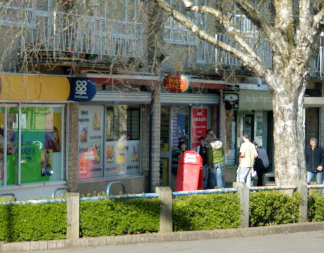
Bear Flat is a neighbourhood within the city of Bath, Somerset, England, to the south of the city centre and to the west of Beechen Cliff (a heavily wooded escarpment on the northern side of Lyncombe Hill which features in Jane Austen's Northanger Abbey). It forms the southern part of the Widcombe and Lyncombe electoral ward. The Wellsway road ( A367) to Shepton Mallet, runs through Bear Flat, forming part of the ancient British Roman Fosse Way. This was originally the main pilgrimage route from Bath and its abbey, to the nearby ecclesiastical centres of Wells and Glastonbury. Bath is a hilly city and the term 'Flat' may be derived from the way the district is defined by a short plateau at the top of the steep Wells Road and Holloway routes out of the city centre, which forms the local business district. 'Bear' has nothing to do with the animal but is believed to be a contraction of an Anglo-Saxon name 'Berewick' - 'Bere' meaning Barley and 'Wick' being a settlement - a sett ... [...More Info...] [...Related Items...] OR: [Wikipedia] [Google] [Baidu] |
Bath And North East Somerset
Bath and North East Somerset (B&NES) is a unitary authority district in England. Bath and North East Somerset Council was created on 1 April 1996 following the abolition of the county of Avon. It is part of the ceremonial county of Somerset. The unitary authority provides a single tier of local government with responsibility for almost all local government functions within the district, including local planning and building control, local roads, council housing, environmental health, markets and fairs, refuse collection, recycling, cemeteries, crematoria, leisure services, parks, and tourism. It is also responsible for education, social services, libraries, main roads, public transport, trading standards, waste disposal and strategic planning, although fire, police and ambulance services are provided jointly with other authorities through the Avon Fire and Rescue Service, Avon and Somerset Constabulary and the South Western Ambulance Service. Its administrative headquarters ... [...More Info...] [...Related Items...] OR: [Wikipedia] [Google] [Baidu] |
Georgian Architecture
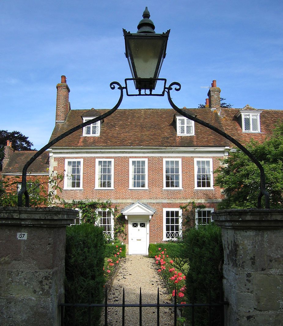
Georgian architecture is the name given in most English-speaking countries to the set of architectural styles current between 1714 and 1830. It is named after the first four British monarchs of the House of Hanover—George I, George II, George III, and George IV—who reigned in continuous succession from August 1714 to June 1830. The so-called great Georgian cities of the British Isles were Edinburgh, Bath, pre-independence Dublin, and London, and to a lesser extent York and Bristol. The style was revived in the late 19th century in the United States as Colonial Revival architecture and in the early 20th century in Great Britain as Neo-Georgian architecture; in both it is also called Georgian Revival architecture. In the United States the term "Georgian" is generally used to describe all buildings from the period, regardless of style; in Britain it is generally restricted to buildings that are "architectural in intention", and have stylistic characteristics that are typical o ... [...More Info...] [...Related Items...] OR: [Wikipedia] [Google] [Baidu] |
The Bear, Bear Flat, Bath
''The'' () is a grammatical article in English, denoting persons or things that are already or about to be mentioned, under discussion, implied or otherwise presumed familiar to listeners, readers, or speakers. It is the definite article in English. ''The'' is the most frequently used word in the English language; studies and analyses of texts have found it to account for seven percent of all printed English-language words. It is derived from gendered articles in Old English which combined in Middle English and now has a single form used with nouns of any gender. The word can be used with both singular and plural nouns, and with a noun that starts with any letter. This is different from many other languages, which have different forms of the definite article for different genders or numbers. Pronunciation In most dialects, "the" is pronounced as (with the voiced dental fricative followed by a schwa) when followed by a consonant sound, and as (homophone of the archaic ... [...More Info...] [...Related Items...] OR: [Wikipedia] [Google] [Baidu] |
Combe Down
Combe Down is a village on the outskirts of Bath, England in the Bath and North East Somerset unitary authority within the ceremonial county of Somerset. Combe Down village consists predominantly of 18th and 19th century Bath stone-built villas, terraces and workers' cottages; the post World War II Foxhill estate of former and present council housing; a range of Georgian, Victorian and 20th century properties along both sides of North Road and Bradford Road and the 21st century Mulberry Park development on the site of the former Ministry of Defence offices. Location Combe Down sits on a ridge above Bath, approximately to the south of the city centre. The village is adjoined to the north by large areas of natural woodland (Fairy Wood, Long Wood, Klondyke Copse and Rainbow Wood) with public footpaths offering views overlooking the city. Parts of these woods are owned and managed by Bath & Northeast Somerset Council, but the majority are owned and managed by the National Trus ... [...More Info...] [...Related Items...] OR: [Wikipedia] [Google] [Baidu] |
Odd Down
Odd Down is an area of the city of Bath, Somerset, England. A suburb of the city, Odd Down is located west and south of the city centre. The city ward population taken at the 2011 census was 5,681. A section of the Wansdyke medieval earthwork in Odd Down, which has been designated as an Ancient monument, appears on the Heritage at Risk Register as being in unsatisfactory condition and vulnerable due to gardening. The Cross Keys Inn is a Grade II listed building which was built in the late 17th or early 18th century. although an earlier pub on the site served as a coaching inn The coaching inn (also coaching house or staging inn) was a vital part of Europe's inland transport infrastructure until the development of the railway, providing a resting point ( layover) for people and horses. The inn served the needs of tr .... Odd Down A.F.C. is the local football club which won the 2015-16 Western Premier League. References Areas of Bath, Somerset Electoral wards in ... [...More Info...] [...Related Items...] OR: [Wikipedia] [Google] [Baidu] |
Rush Hill, Bath
Rush(es) may refer to: Places United States * Rush, Colorado * Rush, Kentucky * Rush, New York * Rush City, Minnesota * Rush Creek (Kishwaukee River tributary), Illinois * Rush Creek (Marin County, California), a stream * Rush Creek (Mono County, California), on the eastern slope of the Sierra Nevada, running into Mono Lake * Rush County, Indiana * Rush County, Kansas * Rush Historic District, a zinc mining region in the Ozark Mountains of Arkansas * Rush Lake (other), various lakes * Rush Street (Chicago), Illinois * Rush Township (other), various places * Rush Valley, Utah Elsewhere * Rush, Dublin, a small seaside town in Fingal, Ireland * Rush Glacier in Brabant Island, Antarctica * Rush Peak in the Karakoram range, Pakistan People * Rush (name), a list of people with either the surname or given name * Rush (''League of Legends'' player) (born 1993), from South Korea * Rush (wrestler) (born 1988), ring name of Mexican professional wrestler William ... [...More Info...] [...Related Items...] OR: [Wikipedia] [Google] [Baidu] |
Bloomfield / Moorfields
Bloomfield may refer to: People * Bloomfield (surname) Places Australia * Bloomfield, Queensland, a town and locality in the Shires of Cook and Douglas * Bloomfield River, in Queensland Canada * Bloomfield, Carleton County, New Brunswick * Bloomfield, Kings County, New Brunswick * Bloomfield, Newfoundland and Labrador * Bloomfield, Ontario * Bloomfield, Prince Edward Island ** Bloomfield Provincial Park United Kingdom * Bloomfield (Bangor suburb), Northern Ireland * Bloomfield, Belfast, an electoral ward of East Belfast, Northern Ireland United States * Bloomfield, Arkansas, in Benton County * Bloomfield, California * North Bloomfield, California, former name Bloomfield * Bloomfield, Connecticut * Bloomfield (St. Georges, Delaware), a historic home listed on the National Register of Historic Places * Bloomfield, Indiana, a town in Greene County * Bloomfield, Jay County, Indiana, an unincorporated community * Bloomfield, Spencer County, Indiana, an unincorporated community ... [...More Info...] [...Related Items...] OR: [Wikipedia] [Google] [Baidu] |
Widcombe
Widcombe is a district of Bath, England, immediately south-east of the city centre, across the River Avon. The electoral ward was merged with Lyncombe at the boundary changes effected at the elections held on 2 May 2019; the two places have historically been connected (refer to the Lyncombe article). History Widcombe was part of the hundred of Bath Forum. In 1877 Halfpenny Bridge, a pedestrian toll bridge, across the River Avon from Bath Spa railway station to Widcombe collapsed with the loss of about 10 lives amongst a large crowd going to the Bath and West Agricultural show. Architecture Widcombe Parade is a commercial street lined with a mix of Georgian and Victorian buildings located near the Halfpenny Bridge, with buildings dating back as far as 1750. The area has been through many changes over the years, altered to improve traffic movement, removing an entire row of terraced houses at the west end of Widcombe Parade with the development of Rossiter Road as part of the ... [...More Info...] [...Related Items...] OR: [Wikipedia] [Google] [Baidu] |
Oldfield Park
Oldfield, old field, old fields or oldfields may refer to: Old fields *Old field (ecology), land previously cultivated but now abandoned *Old field or Indian old field, abandoned Native American cultivated fields Places * Oldfield, Missouri, United States *Old Field, New York, a village in Suffolk County, New York, United States * Oldfield, Ontario, Canada * Oldfield River, Western Australia *Oldfields, a house and estate forming part of the Indianapolis Museum of Art, Indiana, United States * Oldfields Ground, a former cricket ground in Uttoxeter, Staffordshire, England *Oldfields, Virginia, an unincorporated community in Botetourt County, Virginia, United States *Old Fields, West Virginia, an unincorporated community in Hardy County, West Virginia, United States *Oldfield, West Yorkshire, England People *Oldfield (name), list of people called Oldfield Wildlife * Oldfieldia, a plant genus in the family Picrodendraceae * Oldfieldioideae, a former subfamily of Euphorbiaceae now r ... [...More Info...] [...Related Items...] OR: [Wikipedia] [Google] [Baidu] |
National Cycle Network
The National Cycle Network (NCN) is the national cycling route network of the United Kingdom, which was established to encourage cycling and walking throughout Britain, as well as for the purposes of bicycle touring. It was created by the charity Sustrans who were aided by a £42.5 million National Lottery grant. However Sustrans themselves only own around 2% of the paths on the network, these rest being made of existing public highways and rights of way, and permissive paths negotiated by Sustrans with private landowners, which Sustrans have then labelled as part of their network. In 2017, the Network was used for over 786 million cycling and walking trips, made by 4.4 million people. In 2020, around a quarter the NCN was scrapped on safety grounds, leaving of signed routes. These are made up of of traffic-free paths with the remaining on-road. It uses shared use paths, disused railways, minor roads, canal towpaths and traffic-calmed routes in towns and cit ... [...More Info...] [...Related Items...] OR: [Wikipedia] [Google] [Baidu] |
Two Tunnels Greenway
The Two Tunnels Greenway is a shared use path for walking and cycling in Bath, Somerset, England. The route links National Cycle Route 24 south of Bath with National Cycle Route 4 in the town centre, and is designated as National Cycle Route 244. Route The route follows the disused railway trackbed of the Somerset and Dorset Joint Railway from East Twerton through the Bath suburb of Oldfield Park to the Devonshire Tunnel. It emerges into Lyncombe Vale before entering the Combe Down Tunnel, and then coming out to cross Tucking Mill Viaduct at Tucking Mill into Midford. The new route links National Cycle Route 4 in Bath and National Cycle Route 24, south of the city. History NCN24, crossing Midford viaduct, at the south end of the 'Two Tunnels' route, opened in 2005. Sustainable transport charity Sustrans has met with success with its bid for National Lottery funding to start construction of the route. A 'Two Tunnels Steering Group' was established, consisting of the Two Tunne ... [...More Info...] [...Related Items...] OR: [Wikipedia] [Google] [Baidu] |


.png)


