|
Basma
Basma ( ar, بسمة, he, בסמ"ה) is an Israeli Arab local council in the Wadi Ara area of Haifa District. The local council was formed in 1995 through the consolidation of the villages of Barta'a West, Ein as-Sahala, and Muawiya; Basma is an acronym of the villages' names. In it had a population of . Basma's jurisdiction area covers 3,956 dunams. History Each of Basma's villages were under the administration of a ''Mukhtar'' (village headman), who was appointed by the Interior Ministry until 1992, when the Interior Ministry established the Nahal Iron regional council, including Basma's villages and five others. The locals objected to the administrative arrangement, claiming that the council was established without consulting the locals and their wishes were not considered. Some of the villages had already sought an independent municipal status but were rejected. Most of the agricultural land was not included in the council's jurisdiction area, all of the council membe ... [...More Info...] [...Related Items...] OR: [Wikipedia] [Google] [Baidu] |
Mu'awiya, Basma
Mu'awiya ( ar, معاوية, he, מועאוויה) is an Arab citizens of Israel, Arab village in Israel's Haifa District. The village is in the Wadi Ara area of the Triangle (Israel), northern Triangle and lies between Kfar Kara and Umm el-Fahm. The village has around 3,100 residents. Since 1996, it has been under the jurisdiction of the Basma local council (Israel), local council. The village is divided into two neighborhoods: eastern and western. The residents of the village belong to two clans: Ighbarieh and Mahmid. History Mu'awiya was established in the mid 19th century by villagers from nearby Umm El-Fahm. The village was named after a sheikh called Mu'awiya, whose maqam (shrine) lies between the two parts of the village. Andrew Petersen, an archaeologist specialising in Islamic architecture, surveyed the ancient shrine at Mu'awiya in 1994. According to local tradition, ''Muawiya'' had been a soldier in the army of Saladin. He had been killed in a battle close by the vill ... [...More Info...] [...Related Items...] OR: [Wikipedia] [Google] [Baidu] |
Ein As-Sahala
Ein as-Sahla ( ar, عين السهلة, he, עין א-סהלה) is an Arab village in Haifa District, Israel. The village is located in the Wadi Ara area of the northern Triangle. The village has about 2,000 residents. Since 1996, it has been under the jurisdiction of the Basma local council. The vast majority of the residents in Ein as-Sahla adhere to Islam. History Flint tools from the Epipalaeolithic (possibly Kebarrian) and Neolithic eras have been found here, as has pottery sherds from the Persian and Hellenistic eras. Ottoman According to oral tradition of the residents, the founder of the Kabha clan moved from Bayt Jibrin to Ya'bad in the 18th century. Some of the clan members left Ya'bad in the mid-19th century searching for sources of living, and they found a spring with pastures for their cattle and bought the lands around it and established Barta'a. Ein as-Sahla was established as a daughter village of Barta'a in the 19th century. British Mandate era During the ... [...More Info...] [...Related Items...] OR: [Wikipedia] [Google] [Baidu] |
Arab Localities In Israel
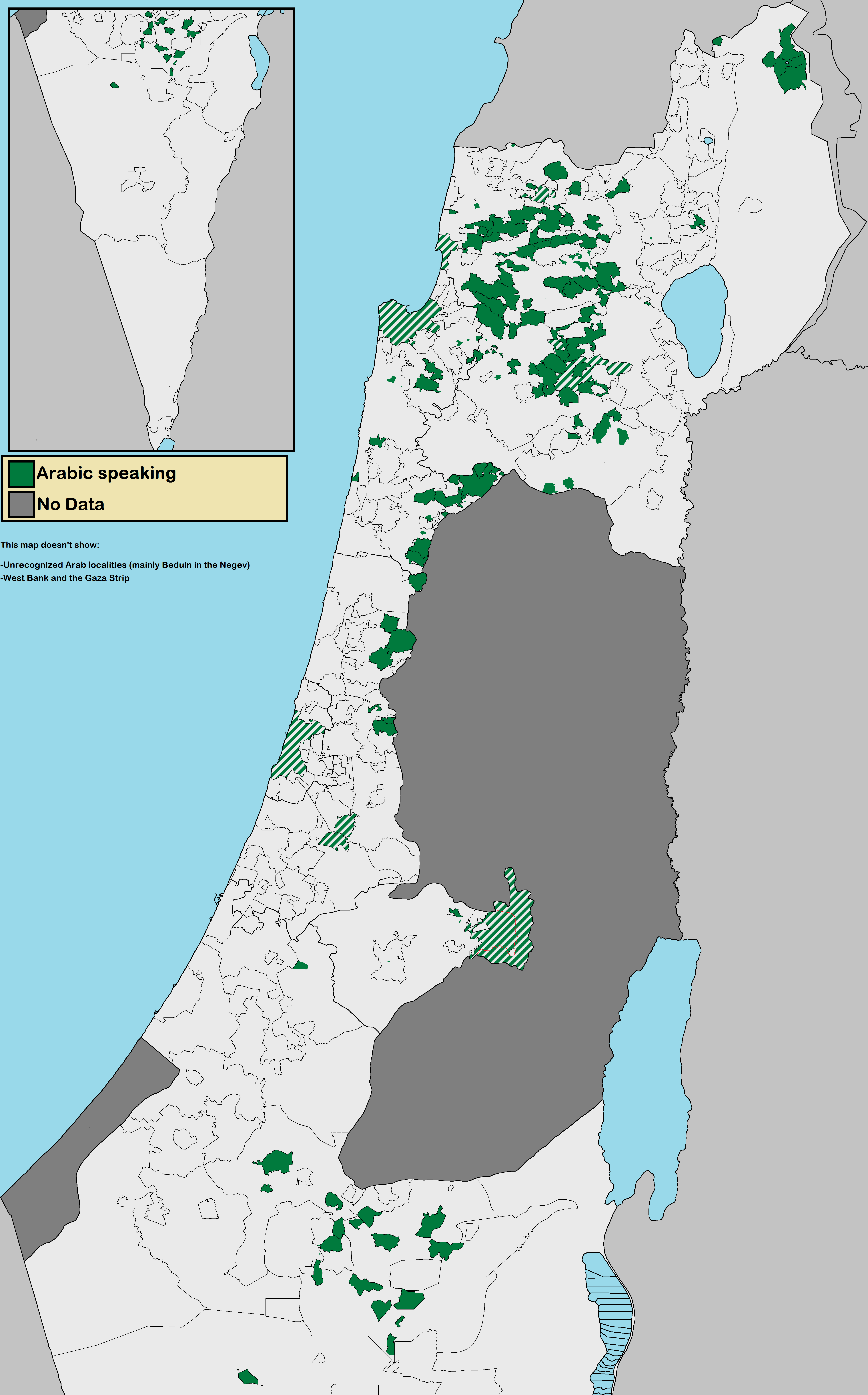
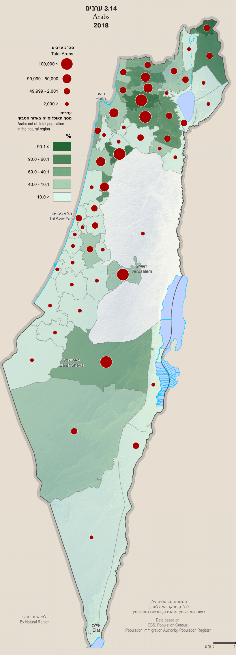
Arab localities in Israel include all population centers with a 50% or higher Arab population in Israel. East Jerusalem and Golan Heights are not internationally recognized parts of Israel proper but have been included in this list. According to the Israeli Central Bureau of Statistics census in 2010, "the Arab population lives in 134 towns and villages. About 44 percent of them live in towns (compared to 81 percent of the Jewish population); 48 percent live in villages with local councils (compared to 9 percent of the Jewish population). Four percent of the Arab citizens live in small villages with regional councils, while the rest live in unrecognized villages (the proportion is much higher, 31 percent in the Negev)". The Arab population in Israel is located in five main areas: Galilee (54.6% of total Israeli Arabs), Triangle (23.5% of total Israeli Arabs), Golan Heights, East Jerusalem, and Northern Negev (13.5% of total Israeli Arabs). Around 8.4% of Israeli Arabs live in off ... [...More Info...] [...Related Items...] OR: [Wikipedia] [Google] [Baidu] |
Ma'ale Iron
Ma'ale Iron ( he, מעלה עירון, ''lit.'' Iron Heights; ar, طلعة عارة) is an Arab local council in Israel's Haifa District and is a part of the Wadi Ara region in the Triangle. The town consists of the five villages of Bayada, Musheirifa, Musmus, Salem and Zalafa. The villages were joined together in 1996 by the Interior Ministry of Israel to form the local council. In its population was , predominantly Muslims. It has an area of 6.3 km2. Ma'ale Iron has four elected members and since 2013 the head of the council has been Mustafa Ighbarieh. History The five villages of Ma'ale Iron did not have municipal status and instead were under the administration of ''mukhtars'' (village headmen) appointed by the Interior Ministry until 1992 when the Interior Ministry established the Nahal Iron regional council. The council also included Barta'a, Ein as-Sahala and Mu'awiya in addition to the five current villages of Ma'ale Iron. Initially the council operated mainly in Ba ... [...More Info...] [...Related Items...] OR: [Wikipedia] [Google] [Baidu] |
Wadi Ara
Wadi Ara ( ar, وادي عارة, he, ואדי עארה) or Nahal 'Iron ( he, נחל עירון), is a valley and its surrounding area in Israel populated mainly by Arab Israelis. The area is also known as the "Northern Triangle". Wadi Ara is located northwest of the Green Line, in the Haifa District. Highway 65 runs through the wadi. The ancient town of biblical fame, Megiddo, known from as Armageddon, used to guard its northern exit during much of the Bronze and Iron Ages. Geography Wadi Ara is a 20 km wadi (valley) in northern Israel that begins at the meeting point of Samaria, the Menashe Heights, and the Sharon plain. The riverbed begins near Umm al-Fahm and runs southwest on the boundary between the Manasseh hills and the Umm al-Fahm hills. Approximately 1 km west of the Border Patrol intersection on Highway 65, the wadi opens into the Sharon plain, and becomes a tributary of the Hadera Stream, south of Talmei Elazar and north of Tel Zeror. History Wadi Ara is part ... [...More Info...] [...Related Items...] OR: [Wikipedia] [Google] [Baidu] |
Arab Citizens Of Israel
The Arab citizens of Israel are the largest ethnic minority in the country. They comprise a hybrid community of Israeli citizens with a heritage of Palestinian citizenship, mixed religions (Muslim, Christian or Druze), bilingual in Arabic and Hebrew, and with varying social identities. Self-identification as Palestinian citizens of Israel has sharpened in recent years, alongside distinct identities including Galilee and Negev Bedouin, the Druze people, and Arab Christians and Arab Muslims who do not identify as Palestinians. In Arabic, commonly used terms to refer to Israel's Arab population include 48-Arab ( ar, عرب 48, Arab Thamaniya Wa-Arba'in, label=none) and 48-Palestinian (). Since the Nakba, the Palestinians that have remained within Israel's 1948 borders have been colloquially known as "48-Arabs". In Israel itself, Arab citizens are commonly referred to as Israeli-Arabs or simply as ''Arabs''; international media often uses the term Arab-Israeli to distinguish Ara ... [...More Info...] [...Related Items...] OR: [Wikipedia] [Google] [Baidu] |
Haifa District
Haifa District ( he, מחוז חיפה, ''Mehoz Ḥeifa''; ar, منطقة حيفا) is an administrative district surrounding the city of Haifa, Israel. The district is one of the Districts of Israel, seven administrative districts of Israel, and its capital is Haifa. The district land area is 864 km2 (299.3 mi2). Demographics According to the Israeli Central Bureau of Statistics data for 2016: * Total population: 996,300 * Ethnic: ** Jews: 642,700 (69.4%) ** Arabs: 233,000 (25.1%) ** Others: 51,000 (5.5%) * Religious (as of 2017): ** Jews: 684,100 (68.6%) ** Muslims: 213,400 (21.4%) ** Druze: 26,300 (2.6%) ** Christians: 17,600 (1.7%) ** Not classified: 56,300 (5.6%) Administrative local authorities See also *Districts of Israel *List of cities in Israel *Arab localities in Israel *Wadi Ara References {{Coord, 32, 35, N, 35, 00, E, region:IL_type:adm1st_source:GNS-enwiki, display=title Haifa District, ... [...More Info...] [...Related Items...] OR: [Wikipedia] [Google] [Baidu] |
Barta'a
Barta'a ( ar, برطعة, he, בַּרְטַּעָה) is a town in Israel and the Palestinian territories that straddles both sides of the Green Line in the Wadi Ara (or Nahal 'Iron) region. Western Barta'a is in the Haifa District of Israel, and forms part of the Basma local council. Its 4,700 residents are Arab citizens of Israel. Eastern Barta'a is in the Palestinian territories in the northern part of the Jenin Governorate of the West Bank in what was designated under the Oslo Accords as Area C. It has 3,600 residents, of whom 30-40 percent carry Israeli identity cards and the rest of whom carry Palestinian identity cards. History Early history Ceramics from the Byzantine era have been found in Barta'a. Ottoman era In 1882, the PEF's ''Survey of Western Palestine'' described it as "a ruined Arabic village on a high hill, with a spring in the valley to the north 400 feet below." The village of Barta'a was established in the middle of the 19th century by members of th ... [...More Info...] [...Related Items...] OR: [Wikipedia] [Google] [Baidu] |
Regional Council (Israel)
Regional councils (plural: he, מוֹעָצוֹת אֵזוֹרִיּוֹת, ''Mo'atzot Ezoriyot''https://milog.co.il/מוֹעָצוֹת_אֵזוֹרִיּוֹת / singular: he, מוֹעָצָה אֵזוֹרִית, ''Mo'atza Ezorit'') are one of the three types of Israel's local government entities, with the other two being Municipality (Israel), cities and Local council (Israel), local councils. As of 2019, there were 54 regional councils, usually responsible for governing a number of settlements spread across rural areas. Regional councils include representation of anywhere between 3 and 54 communities, usually spread over a relatively large area within geographical vicinity of each other. Each community within a regional council usually does not exceed 2,000 in population and is managed by a Local committee (Israel), local committee. This committee sends representatives to the administering regional council proportionate to their size of membership and according to an index w ... [...More Info...] [...Related Items...] OR: [Wikipedia] [Google] [Baidu] |
Southern District (Israel)
The Southern District ( he, מחוז הדרום, ''Meḥoz HaDarom''; ar, لواء الجنوب) is one of Israel's six administrative districts, the largest in terms of land area but the most sparsely populated. It covers most of the Negev desert, as well as the Arava valley. The population of the Southern District is 1,086,240 and its area is 14,185 km2. Its population is 79.66% Jewish and 12.72% Arab (mostly Muslim), with 7.62% of other origins. The district capital is Beersheba, while the largest city is Ashdod. Beersheba's dormitory towns of Omer, Meitar, and Lehavim are affluent on an Israel scale, while the development towns of Dimona, Sderot, Netivot, Ofakim, and Yeruham and the seven Bedouin cities are lower on the socio-economic scale. [...More Info...] [...Related Items...] OR: [Wikipedia] [Google] [Baidu] |
1995 Establishments In Israel
File:1995 Events Collage V2.png, From left, clockwise: O.J. Simpson is acquitted of the murders of Nicole Brown Simpson and Ronald Goldman from the year prior in "The Trial of the Century" in the United States; The Great Hanshin earthquake strikes Kobe, Japan, killing 5,000-6,000 people; The Unabomber Manifesto is published in several U.S. newspapers; Gravestones mark the victims of the Srebrenica massacre near the end of the Bosnian War; Windows 95 is launched by Microsoft for PC; The first exoplanet, 51 Pegasi b, is discovered; Space Shuttle Atlantis docks with the Space station Mir in a display of U.S.-Russian cooperation; The Alfred P. Murrah Federal Building in Oklahoma City is bombed by domestic terrorists, killing 168., 300x300px, thumb rect 0 0 200 200 O. J. Simpson murder case rect 200 0 400 200 Kobe earthquake rect 400 0 600 200 Unabomber Manifesto rect 0 200 300 400 Oklahoma City bombing rect 300 200 600 400 Srebrenica massacre rect 0 400 200 600 Space Shuttle Atlanti ... [...More Info...] [...Related Items...] OR: [Wikipedia] [Google] [Baidu] |
Mu'awiya
Mu'awiya I ( ar, معاوية بن أبي سفيان, Muʿāwiya ibn Abī Sufyān; –April 680) was the founder and first caliph of the Umayyad Caliphate, ruling from 661 until his death. He became caliph less than thirty years after the death of the Islamic prophet Muhammad and immediately after the four Rashidun Caliphate, Rashidun ('rightly-guided') caliphs. Unlike his predecessors, who had been close, early companions of Muhammad, Mu'awiya was a relatively late follower of the Islamic prophet. Mu'awiya and his father Abu Sufyan ibn Harb, Abu Sufyan had opposed Muhammad, their distant Qurayshite kinsman and later Mu'awiya's brother-in-law, until Muhammad conquest of Mecca, captured Mecca in 630. Afterward, Mu'awiya became one of Muhammad's katib, scribes. He was appointed by Caliph Abu Bakr () as a deputy commander in the Muslim conquest of the Levant, conquest of Syria. He moved up the ranks through Umar's caliphate () until becoming governor of Bilad al-Sham, Syria during ... [...More Info...] [...Related Items...] OR: [Wikipedia] [Google] [Baidu] |


.jpg)

