|
Ballyculter Lower
Ballyculter is a Civil parishes in Ireland, civil parish in County Down, Northern Ireland. It is situated in the historic Barony (geographic), barony of Lecale Lower. Settlements The civil parish contains the following settlements: *Strangford Townlands Ballyculter civil parish contains the following townlands: *Audleystown *Ballintlieve *Ballyculter Lower *Ballyculter Upper *Ballylenagh *Cargagh *Carrintaggart *Castlemahon, County Down, Castlemahon *Castleward *Chapel Island, County Down, Chapel Island *Ferryquarter *Jackdaw Island *Killard Lower *Killard Upper *Lagnagoppoge *Loughkeelan *Raholp *Strangford Lower *Strangford Upper *Tullyratty See also *List of civil parishes of County Down References {{County Down Civil parish of Ballyculter, ... [...More Info...] [...Related Items...] OR: [Wikipedia] [Google] [Baidu] |
Civil Parishes In Ireland
Civil parishes () are units of territory in the island of Ireland that have their origins in old Gaelic territorial divisions. They were adopted by the Anglo-Norman Lordship of Ireland and then by the Elizabethan Kingdom of Ireland, and were formalised as land divisions at the time of the Plantations of Ireland. They no longer correspond to the boundaries of Roman Catholic or Church of Ireland parishes, which are generally larger. Their use as administrative units was gradually replaced by Poor_law_union#Ireland, Poor Law Divisions in the 19th century, although they were not formally abolished. Today they are still sometimes used for legal purposes, such as to locate property in deeds of property registered between 1833 and 1946. Origins The Irish parish was based on the Gaelic territorial unit called a ''túath'' or ''Trícha cét''. Following the Norman invasion of Ireland, the Anglo-Normans, Anglo-Norman barons retained the ''tuath'', later renamed a parish or manor, as a un ... [...More Info...] [...Related Items...] OR: [Wikipedia] [Google] [Baidu] |
Strangford Upper
Strangford (from Old Norse ''Strangr fjörðr'', meaning "strong sea-inlet") is a small village at the mouth of Strangford Lough, on the Lecale peninsula in County Down, Northern Ireland. It had a population of 475 at the 2001 Census. On the other side of the lough is Portaferry on the Ards Peninsula, and there is a ferry service between the two villages. The village has a small harbour, which is overlooked by rows of 19th-century cottages and a fine Georgian terrace. Places of interest * Strangford Castle, near the harbour in Strangford, is a 16th-century tower house with a drop hole at roof level to defend the door. * Castle Ward consists of a 16th century tower house and an 18th century mansion built in two distinct architectural styles, Classical and Gothic, overlooking Strangford Lough. The property is owned by the National Trust. Castle Ward is one-and-one-half miles from Strangford. * Audley's Castle is a 15th-century castle one mile northeast of Strangford, overlo ... [...More Info...] [...Related Items...] OR: [Wikipedia] [Google] [Baidu] |
Strangford Lower
Strangford (from Old Norse ''Strangr fjörðr'', meaning "strong sea-inlet") is a small village at the mouth of Strangford Lough, on the Lecale peninsula in County Down, Northern Ireland. It had a population of 475 at the 2001 Census. On the other side of the lough is Portaferry on the Ards Peninsula, and there is a ferry service between the two villages. The village has a small harbour, which is overlooked by rows of 19th-century cottages and a fine Georgian terrace. Places of interest * Strangford Castle, near the harbour in Strangford, is a 16th-century tower house with a drop hole at roof level to defend the door. * Castle Ward consists of a 16th century tower house and an 18th century mansion built in two distinct architectural styles, Classical and Gothic, overlooking Strangford Lough. The property is owned by the National Trust. Castle Ward is one-and-one-half miles from Strangford. * Audley's Castle is a 15th-century castle one mile northeast of Strangford, overlo ... [...More Info...] [...Related Items...] OR: [Wikipedia] [Google] [Baidu] |
Killard Upper
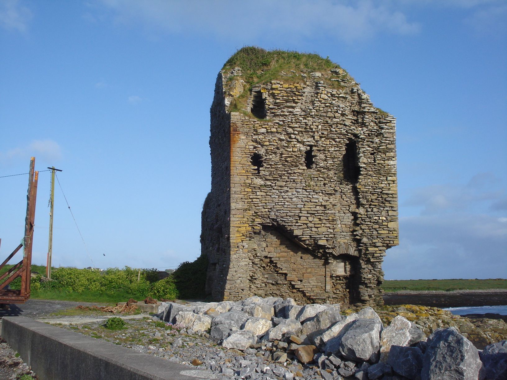
Doonbeg (Killard) ( ga, Cill Ard) is a civil parish on the Atlantic coast of County Clare in Ireland. - Killard civil parish It is also an ecclesiastical parish in the . The largest population centre in the parish is the village of . Location The parish is part of the historic |
Killard Lower
Doonbeg (Killard) ( ga, Cill Ard) is a civil parish on the Atlantic coast of County Clare in Ireland. - Killard civil parish It is also an ecclesiastical parish in the . The largest population centre in the parish is the village of . Location The parish is part of the historic |
Jackdaw Island
Jackdaws are two species of bird in the genus ''Coloeus'' closely related to, but generally smaller than, the crows and ravens ('' Corvus''). ''Coloeus'' is sometimes treated as a subgenus of '' Corvus'', including by the IUCN.Madge & Burn (1994) vii. They have a blackish crown, wings and tail, the rest of the plumage being paler.Madge & Burn (1994) 136–138. The word ''Coloeus'' is New Latin, from the Ancient Greek for jackdaws: ' (). Taxonomy While some authors consider ''Coloeus'' a subgenus of ''Corvus'', others have classified ''Coloeus'' as a distinct genus in the family Corvidae. Following '' Birds of South Asia: The Ripley Guide'', the International Ornithological Congress has also reassigned the two jackdaw species from the genus ''Corvus'' to the genus ''Coloeus''. Species The species are the western jackdaw (''Coloeus monedula''), which breeds in the British Isles and western Europe, Scandinavia, northern Asia and Northern Africa, and its eastern counterpart, the Da ... [...More Info...] [...Related Items...] OR: [Wikipedia] [Google] [Baidu] |


