|
Bala Kot Tehsil
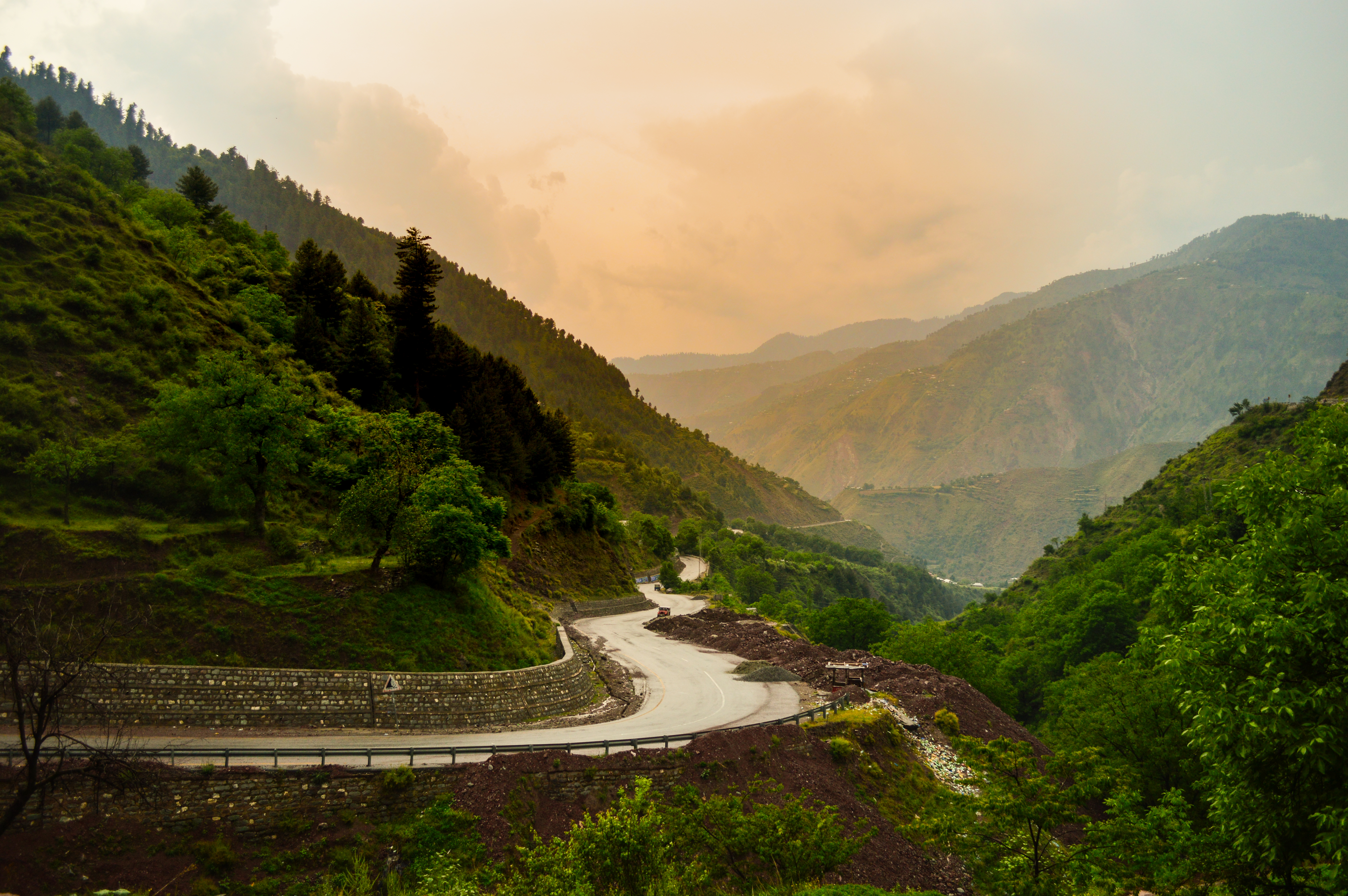
Balakot Tehsil ( ur, ) is an administrative subdivision (tehsil) of Mansehra District in the Khyber-Pakhtunkhwa province of Pakistan. Balakot is the main city of this area. It was one of the towns which was most damaged in the 2005 Kashmir earthquake on 8 October 2005 and an estimated 80% of the buildings there were destroyed. Villages were badly affected and landslides cut off thousands of people from Balakot where relief workers had been helping the survivors. Its population as of 2017 was . The major spoken language of the tehsil is Hindko. Administration Balakot Tehsil consists of 12 Union Councils: * |
Tehsil
A tehsil (, also known as tahsil, taluka, or taluk) is a local unit of administrative division in some countries of South Asia. It is a subdistrict of the area within a district including the designated populated place that serves as its administrative centre, with possible additional towns, and usually a number of villages. The terms in India have replaced earlier terms, such as '' pargana'' (''pergunnah'') and ''thana''. In Andhra Pradesh and Telangana, a newer unit called mandal (circle) has come to replace the system of tehsils. It is generally smaller than a tehsil, and is meant for facilitating local self-government in the panchayat system. In West Bengal, Bihar, Jharkhand, community development blocks are the empowered grassroots administrative unit, replacing tehsils. As an entity of local government, the tehsil office (panchayat samiti) exercises certain fiscal and administrative power over the villages and municipalities within its jurisdiction. It is the ultimate execu ... [...More Info...] [...Related Items...] OR: [Wikipedia] [Google] [Baidu] |
Hindko
Hindko (, romanized: , ) is a cover term for a diverse group of Lahnda dialects spoken by several million people of various ethnic backgrounds in several areas in northwestern Pakistan, primarily in the provinces of Khyber Pakhtunkhwa and Punjab. There is a nascent language movement, and in recent decades Hindko-speaking intellectuals have started promoting the view of Hindko as a separate language. There is a literary tradition based on Peshawari, the urban variety of Peshawar in the northwest, and another one based on the language of Abbottabad in the northeast. In the 2017 census of Pakistan, 4.65 million people declared their language to be Hindko. Hindko is mutually intelligible with Punjabi and Saraiki, and has more affinities with the latter than with the former. Differences with other Punjabi varieties are more pronounced in the morphology and phonology than in the syntax. The word ''Hindko'', commonly used to refer to a number of Indo-Aryan dialects spoken in th ... [...More Info...] [...Related Items...] OR: [Wikipedia] [Google] [Baidu] |
Shohal Mazullah
Shohal Mazullah Khan is a village and union council (an administrative subdivision) of Mansehra District in the Khyber-Pakhtunkhwa province of Pakistan. It is located at the bank of River Kuhnar, in the east of the District Mansehra, about 7 km to Balakot and it borders Muzaffarabad District and lies in an area affected by the . The village was badly hit by the 2005 earthquake and was also destroyed in 1992 and 2010 by flood. There ... [...More Info...] [...Related Items...] OR: [Wikipedia] [Google] [Baidu] |
Satbani
Satbani is a village and union council (an administrative subdivision) of Mansehra District in the Khyber-Pakhtunkhwa province of Pakistan. It is located in Balakot tehsil and lies in an area that was affected by the 2005 Kashmir earthquake The 2005 Kashmir earthquake occurred at on 8 October in Pakistani-administered Azad Kashmir. It was centred near the city of Muzaffarabad, and also affected nearby Balakot in Khyber Pakhtunkhwa and some areas of Indian-administered Jammu an .... On 3 September 2007, survivors of the earthquake from Satbani, Ghanool, Garlat and Kawai Union Councils organised a protest in Satbani against the authorities for the delay in compensation. References Union councils of Mansehra District Populated places in Mansehra District {{Mansehra-geo-stub ... [...More Info...] [...Related Items...] OR: [Wikipedia] [Google] [Baidu] |
Mahandri that ascends along the Kunhar River through lovely forests to Mahandri and to the villages of Paras, Shinu and Jared. A trekking track to reach Ansoo Lake begins from Mahandri, which is 40 km below Naran Village, but this is an alternative to the Lake Saiful Muluk route and the difficulties are unknown.
Populated places in Mansehra District
{{Mansehra-geo-stub ...
Mahandri is a village in the Kaghan Valley in the Mansehra District of Khyber-Pakhtunkhwa province of Pakistan. There is a road from Balakot Balakot (; ur, ; ) is a town in Mansehra District in the Khyber Pakhtunkhwa province of Pakistan. The town was destroyed during the 2005 Kashmir earthquake, but was later rebuilt with the assistance of the Government of Pakistan and Saudi P ... [...More Info...] [...Related Items...] OR: [Wikipedia] [Google] [Baidu] |
Kewai
Kiwai is a union council of Mansehra District of Khyber Pakhtunkhwa province of Pakistan. It is located on the way to Kaghan Valley. Payee Lake is accessible via Kiwai passing through Shogran by a jeep track. See also * Kaghan Valley * Lalazar * Shogran Shogran ( ur, ) is a hill station situated on a plateau in the Kaghan Valley, northern Pakistan at a height of above sea level. It is located in the province of Khyber Pakhtunkhwa. Shogran is located away from Balakot. The road from Islamabad ... References Union councils of Mansehra District {{Mansehra-geo-stub ... [...More Info...] [...Related Items...] OR: [Wikipedia] [Google] [Baidu] |
Karnol
Karnol is a village and union councils of Pakistan, union council (an administrative subdivision) of Mansehra District in the Khyber Pakhtunkhwa, Khyber-Pakhtunkhwa province of Pakistan. It is located at at an altitude of 797 metres (2618 feet) lying in the south east of the district near to Abbottabad and the Kashmir region, Kashmir frontier and lies in an area affected by the 2005 Kashmir earthquake. Important Figures *Shoukat Nawaz Khan late (xNazim UC/''Karnol'',Founder of UC 'Karnol') *Anwar Rasheed Khan late (Journalist) *Iqbal Khan Late (Nayb Tehsildar Swat) *Sajid Ali Khan (Chairperson VC ''Karnol'') *Ahmed Rasheed Khan(Numberdar VC''Karnol'' and VC Brarkot) *Liaqat Ali Khan (Khan of Karnol) Tribes There are many tribes living in Karnol *Khan(khankhail) *Syeds(saadats) *Qureshi *Abbasi *Raja *Gujjar *Swati there are people from many castes/tribes residing in Karnol References {{Mansehra-Union-Councils Union councils of Mansehra District Populated places in M ... [...More Info...] [...Related Items...] OR: [Wikipedia] [Google] [Baidu] |
Kaghan, Khyber-Pakhtunkhwa
Kaghan ( ur, کاغان) is a small town and union council of the Balakot Tehsil, in Mansehra District of Khyber Pakhtunkhwa province of Pakistan. Kaghan Valley
The Kaghan Valley ( ur, ) is an alpine valley located in the Mansehra District of Khyber Pakhtunkhwa, Pakistan. The valley covers a distance of across northern Pakistan, rising from its lowest elevation of to its highest point at the Babusar ... is named after the town.
References [...More Info...] [...Related Items...] OR: [Wikipedia] [Google] [Baidu] |
Hangrai
Hangrai is a village and union council (an administrative subdivision) of Mansehra District in the Khyber-Pakhtunkhwa province of Pakistan. It is located in the lower Kaghan Valley and lies to the north of Balakot city in an area that was affected by the 2005 Kashmir earthquake. Gujjars are the main tribe living in this UC with a considerable percentage of Swatis, Mughals and Syeds. The literacy rate is very low. It is the most affected UC in 2005 earthquake. Many of the local people are farmers and herdsmen, though a lot of the people are working in middle east countries. Hangrai is known for its |
Ghanool
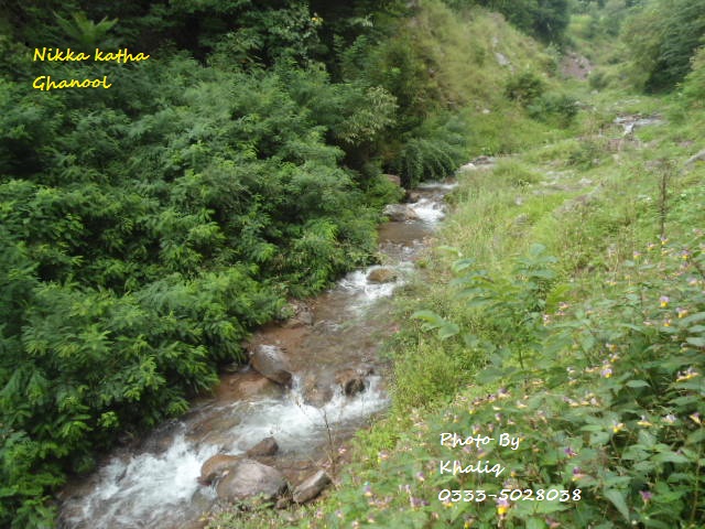
Ghanool is a village and union council (an administrative subdivision) of Mansehra District in the Khyber-Pakhtunkhwa province of Pakistan. It is located in Balakot tehsil and lies in an area that was affected by the 2005 Kashmir earthquake. The union council of Ghanool has four village councils: Ghanool, Sangar-1, Sangar-2, and Bhangian. Sangar is the most populous area of Ghanool with the majority of the population belonging to the Madakhel tribe. Paya, which is also known as Sari and Paya, is a meadow at a height of more than 9000 feet. Makra Peak, a mountain 3885 meters above sea level is located in Ghanool. Tribes living in Ghanool include Mughals Barlas, Rajputs, Awans Awans (; wa, Awan) is a municipality of Wallonia located in the province of Liège, Belgium. On January 1, 2006, Awans had a total population of 8,696. The total area is 27.16 km² which gives a population density of 320 inhabitants per k ..., Swati, and Madakhels. References 3- Photo By Khali ... [...More Info...] [...Related Items...] OR: [Wikipedia] [Google] [Baidu] |
Garlat
Garlat is a village and union council (an administrative subdivision) of Mansehra District in the Khyber-Pakhtunkhwa province of Pakistan. It is located in Balakot tehsil and lies in an area that was affecteded by the 2005 Kashmir earthquake The 2005 Kashmir earthquake occurred at on 8 October in Pakistani-administered Azad Kashmir. It was centred near the city of Muzaffarabad, and also affected nearby Balakot in Khyber Pakhtunkhwa and some areas of Indian-administered Jammu and .... HASSA is famous village council of Garlat. References Union councils of Mansehra District Populated places in Mansehra District 2005 Kashmir earthquake {{Mansehra-geo-stub ... [...More Info...] [...Related Items...] OR: [Wikipedia] [Google] [Baidu] |
Garhi Habibullah '', a gracile australopithecine species whose fossils were discovered in 1996 by a research team led by Ethiopian paleontologist Berhane Asfaw and Tim White, an American paleontologist
{{Geodis ...
Garhi may refer to several places: * Garhi Abdullakhan * Garhi Daulatzai * Garhi Dupatta * Garhi Habibullah * Garhi Harsaru * Garhi Ismail Zai * Garhi Khuda Bakhsh * Garhi Matani * Garhi Pukhta * Garhi Shahu * Garhi Sher Ahmed * Garhi Yasin * Garhi, Banswara, a village and tehsil in Banswara, Rajasthan, India * Garhi, Kaurali, a village in Karauli, Rajasthan, India * Garhi Phulgran, misspelling of Ghari Phulgran Garhi may also refer to: * ''Australopithecus garhi ''Australopithecus garhi'' is a species of australopithecine from the Bouri Formation in the Afar Region of Ethiopia 2.6–2.5 million years ago (mya) during the Early Pleistocene. The first remains were described in 1999 based on several skele ... [...More Info...] [...Related Items...] OR: [Wikipedia] [Google] [Baidu] |


