|
Battle Of Attock
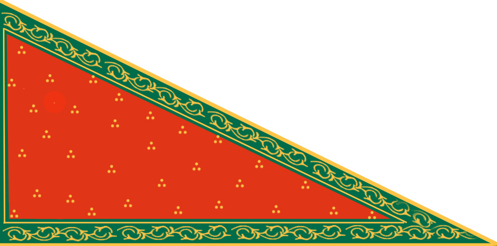
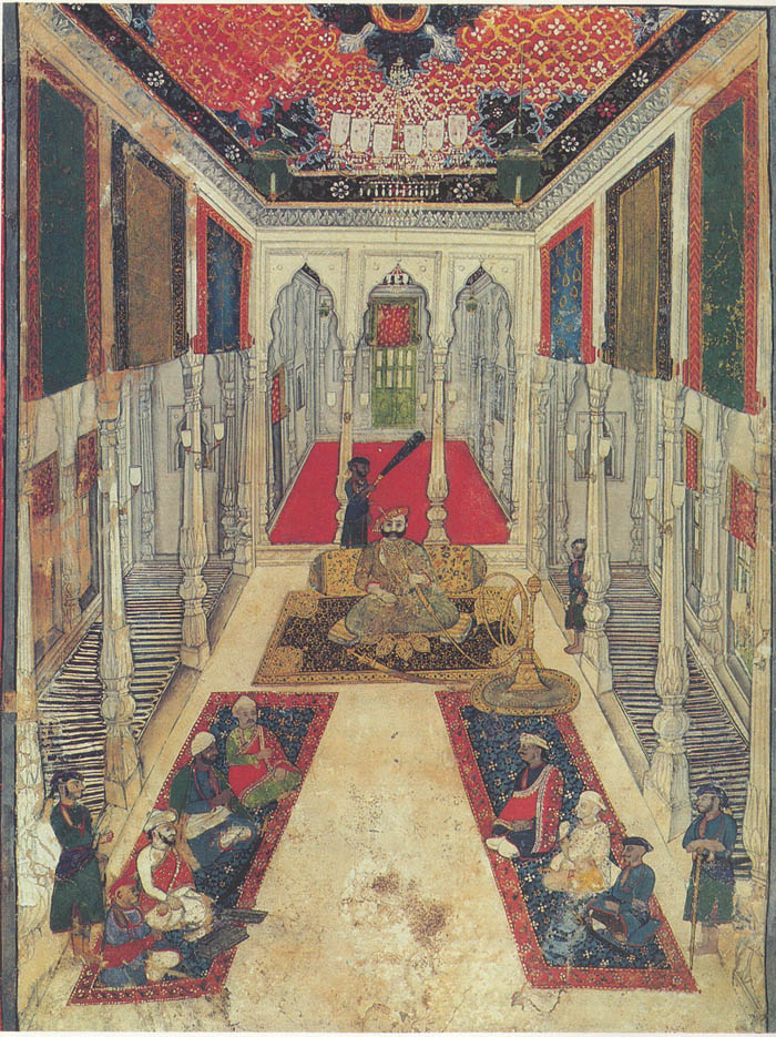
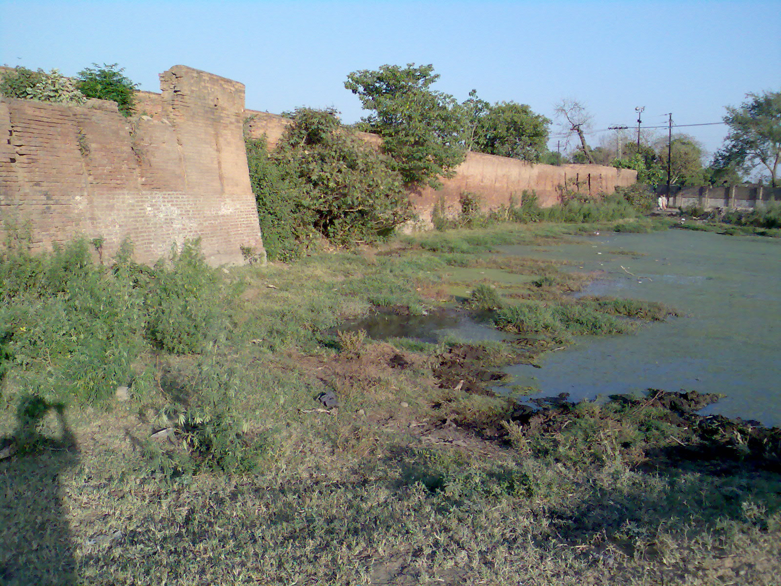
The Battle of Attock (also known as the Battle of Chuch or the Battle of Haidru) took place on 13 July 1813 between the Sikh Empire and the Durrani Empire. The battle was the first significant Sikh victory over the Durranis. Background In 1811–12, Ranjit Singh invaded the hill states of Bhimber, Rajauri, and Kullu in preparation for an invasion of Kashmir. In late 1812, Fateh Khan, the Vizier of Kabul, crossed the Indus river under orders from Mahmud Shah Durrani to raid Kashmir and to free Shuja Shah Durrani from its renegade vizier, Atta Muhammad Khan. In an 1812 interview with Ranjit Singh, Fateh Khan agreed to a joint invasion of Kashmir. He could not invade Kashmir if he was opposed by the Sikh Empire, and agreed that a small Sikh force under Dewan Mokham Chand would receive one third of the plunder. Both invasions began at Jhelum, but once the armies reached the Pir Panjal Range, Fateh Khan used a heavy snowfall to double march his veteran mountain troops through ... [...More Info...] [...Related Items...] OR: [Wikipedia] [Google] [Baidu] |
Kashmir
Kashmir () is the northernmost geographical region of the Indian subcontinent. Until the mid-19th century, the term "Kashmir" denoted only the Kashmir Valley between the Great Himalayas and the Pir Panjal Range. Today, the term encompasses a larger area that includes the Indian-administered territories of Jammu and Kashmir and Ladakh, the Pakistani-administered territories of Azad Kashmir and Gilgit-Baltistan, and the Chinese-administered territories of Aksai Chin and the Trans-Karakoram Tract. Quote: "Kashmir, region of the northwestern Indian subcontinent. It is bounded by the Uygur Autonomous Region of Xinjiang to the northeast and the Tibet Autonomous Region to the east (both parts of China), by the Indian states of Himachal Pradesh and Punjab to the south, by Pakistan to the west, and by Afghanistan to the northwest. The northern and western portions are administered by Pakistan and comprise three areas: Azad Kashmir, Gilgit, and Baltistan, ... The southern and so ... [...More Info...] [...Related Items...] OR: [Wikipedia] [Google] [Baidu] |
Hari Parbat
Hari Parbat (), also called Koh-i-Maran (), is a hill overlooking Srinagar, the largest city and the capital of Jammu and Kashmir, India. It is the site of a fort, built by the Durrani Empire, and of a Hindu temple, mosques, and gurdwara. The Indian government on 15 August 2021 (the 75th independence day) hoisted a 100 feet tall Indian flag on the top of the fort. Durrani Fort The first fortifications on the site were constructed by the Mughal emperor Akbar in 1590 who built an outer wall for the fort as part of his plans for a new capital at the site of modern-day Srinagar city in Kashmir. The project, however, was never completed. The present fort was built in 1808 under the reign of the Governor of Kashmir Province of the Durrani Empire, Atta Mohammed Khan. The fort can be reached via two sides of the city, (a) via Rainawari through Kathi Darwaza Gate and (b) via Hawal through the Sangin Darwaza Gate. The fort was closed for almost 2 decades and thrown open to th ... [...More Info...] [...Related Items...] OR: [Wikipedia] [Google] [Baidu] |
Valley Of Kashmir
The Kashmir Valley, also known as the ''Vale of Kashmir'', is an intermontane valley concentrated in the Kashmir Division of the Indian- union territory of Jammu and Kashmir. The valley is bounded on the southwest by the Pir Panjal Range and on the northeast by the main Himalayas range. It is approximately long and wide, and drained by the Jhelum River. Geography The Kashmir Valley lies between latitude 33° and 35°N, and longitude 73° and 76°E. The valley is wide and covers in area. It is bounded by sub-ranges of the Western Himalayas: the Great Himalayas bound it in the northeast and separate it from the Tibetan plateau, whereas the Pir Panjal Range in the Lesser Himalayas bounds it on the west and the south, and separates it from the Punjab Plain. The valley has an average elevation of above sea-level, but the surrounding Pir Panjal range has an average elevation of . The Jhelum River is the main river of the Valley. It originates at Verinag; its most importan ... [...More Info...] [...Related Items...] OR: [Wikipedia] [Google] [Baidu] |
Jagir
A jagir ( fa, , translit=Jāgir), also spelled as jageer, was a type of feudal land grant in the Indian subcontinent at the foundation of its Jagirdar (Zamindar) system. It developed during the Islamic rule era of the Indian subcontinent, starting in the early 13th century, wherein the powers to govern and collect tax from an estate was granted to an appointee of the state.Jāgīrdār system: INDIAN TAX SYSTEM Encyclopædia Britannica (2009) The tenants were considered to be in the servitude of the jagirdar. There were two forms of jagir, one being conditional and the other unconditional. The conditional jagir required the governing family to maintain troops and provide their service to the state when asked. The land grant w ... [...More Info...] [...Related Items...] OR: [Wikipedia] [Google] [Baidu] |
Raja
''Raja'' (; from , IAST ') is a royal title used for South Asian monarchs. The title is equivalent to king or princely ruler in South Asia and Southeast Asia. The title has a long history in South Asia and Southeast Asia, being attested from the Rigveda, where a ' is a ruler, see for example the ', the "Battle of Ten Kings". Raja-ruled Indian states While most of the Indian salute states (those granted a gun salute by the British Crown) were ruled by a Maharaja (or variation; some promoted from an earlier Raja- or equivalent style), even exclusively from 13 guns up, a number had Rajas: ; Hereditary salutes of 11-guns : * the Raja of Pindrawal * the Raja of Morni * the Raja of Rajouri * the Raja of Ali Rajpur * the Raja of Bilaspur * the Raja of Chamba * the Raja of Faridkot * the Raja of Jhabua * the Raja of Mandi * the Raja of Manipur * the Raja of Narsinghgarh * the Raja of Pudukkottai * the Raja of Rajgarh * the Raja of Sangli * the Raja of Sailana * the Raj ... [...More Info...] [...Related Items...] OR: [Wikipedia] [Google] [Baidu] |
Pir Panjal Range
The Pir Panjal Range (Kashmiri: ) is a group of mountains in the Lesser Himalayan region, running from east-southeast (ESE) to west-northwest (WNW) across the Indian territories of Himachal Pradesh and Jammu and Kashmir and then Pakistan's Azad Kashmir and Punjab. The average elevation varies from to . The Himalayas show a gradual elevation towards the Dhauladhar and Pir Panjal ranges. Pir Panjal is the largest range of the Lesser Himalayas. Near the bank of the Sutlej River, it dissociates itself from the Himalayas and forms a divide between the Beas and Ravi rivers on one side and the Chenab on the other. The renowned Galyat mountains are also located in this range. Etymology The Pir Panjal range is named after the Pir Panjal Pass, whose original name as recorded by Srivara, is ''Panchaladeva'' (IAST: ''Pāñcāladeva'', meaning the deity of ''Panchala''). Panchala is a country mentioned in the Mahabharata in the northwest Uttar Pradesh. However, there are also tradition ... [...More Info...] [...Related Items...] OR: [Wikipedia] [Google] [Baidu] |
Jhelum
Jhelum ( Punjabi and ur, ) is a city on the east bank of the Jhelum River, which is located in the district of Jhelum in the north of Punjab province, Pakistan. It is the 44th largest city of Pakistan by population. Jhelum is known for providing many soldiers to the British Army before independence, and later to the Pakistan armed forces – due to which it is also known as ''City of Soldiers'' or ''Land of Martyrs and Warriors''. Jhelum is a few miles upstream from the site of the ancient Battle of the Hydaspes between the armies of Alexander and King Porus. Possibly Jhelum City was the capital of Porus' Kingdom, Paurava. A city called Bucephala was founded nearby to commemorate the death of Alexander's horse, Bucephalus. Other notable sites nearby include the 16th-century Rohtas Fort, the Tilla Jogian complex of ancient temples, and the 16th-century Grand Trunk Road which passes through the city. According to the 2017 census of Pakistan, the population of Jhelum was 19 ... [...More Info...] [...Related Items...] OR: [Wikipedia] [Google] [Baidu] |
Vizier
A vizier (; ar, وزير, wazīr; fa, وزیر, vazīr), or wazir, is a high-ranking political advisor or minister in the near east. The Abbasid caliphs gave the title ''wazir'' to a minister formerly called ''katib'' (secretary), who was at first merely a helper but afterwards became the representative and successor of the ''dapir'' (official scribe or secretary) of the Sassanian kings. In modern usage, the term has been used for government ministers in much of the Middle East and beyond. Several alternative spellings are used in English, such as ''vizir'', ''wazir'', and ''vezir''. Etymology Vizier is suggested to be an Iranian word, from the Pahlavi root of ''vičir'', which originally had the meaning of a ''decree'', ''mandate'', and ''command'', but later as its use in Dinkard also suggests, came to mean ''judge'' or ''magistrate''. Arthur Jeffery considers the word to be a "good Iranian" word, as has a well-established root in Avestan language. The Pahlavi ''viči ... [...More Info...] [...Related Items...] OR: [Wikipedia] [Google] [Baidu] |
Shuja Shah Durrani
Shuja ( ar, شجاع, ur, شجاع, bn, সুজা) is a surname and male given name. Notable people with this name include: * Shuja al-Khwarazmi, was the mother of Abbasid caliph Al-Mutawakkil (r. 847–861) * Ahmad Shuja Pasha (born 1952), Pakistani general * Badruddoza Ahmed Shuja, Bangladeshi politician * Hakim Ahmad Shuja (1893–1969) * Kashif Shuja (born 1979), Pakistani squash player * Mian Mujtaba Shuja-ur-Rehman, Pakistani politician * Shah Shuja (Mughal prince) (1616–1661) * Shah Shujah Durrani (1785–1842) * Shakir Shuja Abadi * Shuja Haider, Pakistani musician * Shuja Haider (cricketer) (born 1994), Pakistani cricket player * Shuja Khanzada (1943–2015), Pakistani politician and colonel * Shuja ud-Din (born 1913), Afghan field hockey player * Shuja ul Mulk, Pakistani politician * Shuja ul-Mulk (1881–1936) * Shuja ul-Mulk Jalala (born 1952), Afghan politician * Shuja-ud-Daula (1732-1775) * Shuja-ud-Din Muhammad Khan * Shuja-ul-Mulk, Pakistani politic ... [...More Info...] [...Related Items...] OR: [Wikipedia] [Google] [Baidu] |
Mahmud Shah Durrani
Mahmud Shah Durrani (Persian: ; 1769 – 18 April 1829), also known as Shah Mahmud, or Mahmud Shah Abdali, was the ruler of the Durrani Empire between 1801 and 1803, and again between 1809 and 1818. From 1818 to 1829, he was the emir of Herat. An ethnic Sadduzai, a division of the Popalzai clan of the Durrani Pashtuns, he was the son of Timur Shah Durrani and grandson of Ahmad Shah Durrani. Early life Mahmud Shah was born in 1769, second son to Timur Shah Durrani. His mother was an unknown concubine of Yusufzai stock. He was raised with his brothers, most prominently Zaman Shah Durrani and Shah Shuja Durrani. He was appointed emir of Herat by his father at 8 years old. Death of Timur Shah Timur Shah died on 20 May 1793, triggering a succession crisis within the Empire. Mahmud, the powerful Herati emir, allied with his brother Humayun in Kandahar against Zaman Shahzadeh. Who was the late Shah's eldest son and designated successor, who had summoned all rival claimants to Kabul. Za ... [...More Info...] [...Related Items...] OR: [Wikipedia] [Google] [Baidu] |
Indus River
The Indus ( ) is a transboundary river of Asia and a trans-Himalayan river of South and Central Asia. The river rises in mountain springs northeast of Mount Kailash in Western Tibet, flows northwest through the disputed region of Kashmir, Quote: "Kashmir, region of the northwestern Indian subcontinent. It is bounded by the Uygur Autonomous Region of Xinjiang to the northeast and the Tibet Autonomous Region to the east (both parts of China), by the Indian states of Himachal Pradesh and Punjab to the south, by Pakistan to the west, and by Afghanistan to the northwest. The northern and western portions are administered by Pakistan and comprise three areas: Azad Kashmir, Gilgit, and Baltistan, ... The southern and southeastern portions constitute the Indian state of Jammu and Kashmir. The Indian- and Pakistani-administered portions are divided by a "line of control" agreed to in 1972, although neither country recognizes it as an international boundary. In addition, China became ... [...More Info...] [...Related Items...] OR: [Wikipedia] [Google] [Baidu] |


