|
Barony Of Fore (County Westmeath)
Fore () is a barony in northern County Westmeath, Ireland. It was formed by 1672. Geography Fore has an area of 49,056 acres, making it the largest barony in Westmeath but placing it among the smaller baronies in Ireland. Mullaghmeen, the highest point in Westmeath is located in Fore and at 261 metres (856 ft) is the lowest county high point in Ireland. The barony contains three large lakes, Lough Derravaragh, Lough Sheelin and Lough Lene and the River Inny flows through the barony before it connects to the River Shannon. The barony borders the counties of Cavan, Longford and Meath. Civil parishes of the barony This table ''Placenames Database of Ireland'' Retrieved on 22 July 2015 lists an historical geographical sub-division of the barony known as the |
Republic Of Ireland
Ireland ( ga, Éire ), also known as the Republic of Ireland (), is a country in north-western Europe consisting of 26 of the 32 counties of the island of Ireland. The capital and largest city is Dublin, on the eastern side of the island. Around 2.1 million of the country's population of 5.13 million people resides in the Greater Dublin Area. The sovereign state shares its only land border with Northern Ireland, which is part of the United Kingdom. It is otherwise surrounded by the Atlantic Ocean, with the Celtic Sea to the south, St George's Channel to the south-east, and the Irish Sea to the east. It is a unitary, parliamentary republic. The legislature, the , consists of a lower house, ; an upper house, ; and an elected President () who serves as the largely ceremonial head of state, but with some important powers and duties. The head of government is the (Prime Minister, literally 'Chief', a title not used in English), who is elected by the Dáil and appointed by ... [...More Info...] [...Related Items...] OR: [Wikipedia] [Google] [Baidu] |
County Cavan
County Cavan ( ; gle, Contae an Chabháin) is a Counties of Ireland, county in Republic of Ireland, Ireland. It is in the Provinces of Ireland, province of Ulster and is part of the Border Region. It is named after the town of Cavan and is based on the historic Gaelic Ireland, Gaelic territory of East Breifne, East Breffny (''Bréifne''). Cavan County Council is the Local government in the Republic of Ireland, local authority for the county, which had a population of 76,176 at the 2016 census. Geography Cavan borders six counties: County Leitrim, Leitrim to the west, County Fermanagh, Fermanagh and County Monaghan, Monaghan to the north, County Meath, Meath to the south-east, County Longford, Longford to the south-west and County Westmeath, Westmeath to the south. Cavan shares a border with County Fermanagh in Northern Ireland. Cavan is the 19th largest of the 32 counties in area and the 25th largest by population. The county is part of the Northern and Western Region, a Nom ... [...More Info...] [...Related Items...] OR: [Wikipedia] [Google] [Baidu] |
Coole, County Westmeath
Coole () is a village in County Westmeath, Republic of Ireland, Ireland, on the R395 road, R395 Regional road (Ireland), regional road. It is situated on a plateau that overlooks the part of the Bog of Allen, cultivated for peat for fuel consumption purposes by Bórd na Móna, the government-owned peat production industry and for garden plant soil compost products by Harte Peat Ltd., a private enterprise, and Bórd na Móna. The village is stretched over a series of junctions and cross-roads. These regional and communal roads connect to Castlepollard to the east, Coolure, near Lough Derravaragh to the south, and Abbeylara to the north-west in neighbouring County Longford. Another communal road accesses and crosses the low-lying bog-land, permitting machinery access to the area. The village consists of a pub, a post office, a shop, a church, and a medical centre. There is also a primary school and a parish community hall. Coole is the birthplace of Lt. Maurice James Dease Victori ... [...More Info...] [...Related Items...] OR: [Wikipedia] [Google] [Baidu] |
Collinstown
Collinstown () is a village in north County Westmeath, situated on the R395 regional road overlooking Lough Lene. It lies northeast of the county town of Mullingar and (as of the 2016 census) had a population of 356. Toponymy The Irish name of the village means 'town of the veiled women', or 'town of the hags', owing to a convent once established on an island on nearby Lough Lene. History Collinstown has been an inhabited area since pre-Christian times. West of the village, in the townland of Ranaghan, are the remains of several ringforts. At least one of these is attributed to the Viking chief Turgesius, who is said to have conquered Dublin. Turgesius built them on high ground overlooking Lough Lene for defensive purposes and dwelled there before being killed by Máel Sechnaill mac Maíl Ruanaid, the High King of Ireland. In addition to this fort, Turgesius also had another upon the largest island of Lough Lene which still today bears his name, Turgesius Island. The area ... [...More Info...] [...Related Items...] OR: [Wikipedia] [Google] [Baidu] |
Castlepollard
Castlepollard ( or ''Cionn Toirc'') is a village in north County Westmeath, Republic of Ireland. It lies west of Lough Lene and northeast of Lough Derravaragh and Mullingar. Name The name ''Castlepollard'' comes from the name of a castle or fortified manor built by the English army captain Nicholas Pollard in the early 17th century. The village's official Irish name is ''Baile na gCros'' (anglicised ''Ballinagross''), meaning "town of the cross (or crossroads". However, the name ''Cionn Toirc'' (anglicised ''Kinturk''), meaning "head of the boar", has also been applied to the village. The townland of Kinturk Demesne covers the southern part of the village. Transport Bus Éireann route 111 serves Castlepollard eight times a day (less often at weekends) linking it to Dublin, Trim, Athboy, Delvin, Abbeylara, Granard and Cavan. Route 447 provides a link to Mullingar via Crookedwood on Thursdays only. The nearest rail service is at Mullingar railway station, approximately 22 km ... [...More Info...] [...Related Items...] OR: [Wikipedia] [Google] [Baidu] |
Rathgarve (civil Parish)
Rathgarve ( meaning "rough ringfort"),Rathgarve civil parish ''The Placename Database of Ireland.'' Retrieved on 20 July 2015. is a , religious parish, and townland, in , . It is located about north of . It takes in parts of the modern town of Castlepollard (the townland ... [...More Info...] [...Related Items...] OR: [Wikipedia] [Google] [Baidu] |
Mayne, County Westmeath (civil Parish)
Mayne (),Mayne civil parish ''The Placename Database of Ireland.'' Retrieved on 21 July 2015. is a in , . It is located about north of . Mayne is one of 8 civil parishes in the |
Lickbla (civil Parish)
Lickbla (pronounced ''Lick-blay,'' in Irish: ''Leicc Bladma'' meaning "Bladma's Leacht or Hearth"), is a historic monument, civil parish, religious parish, and townland, in County Westmeath, Ireland. It is located about north of Mullingar. St. Bladma is listed in the Martyrology of Oengus (died 11 March 824) as a saint: "''Bladma, i.e. from Blad son of Conmac Cas Clothach, grandson of Tachall son of Cermait, son of the Dagda, a quo nominatur. Or Blad son of Breogan, a quo Sliab Bladma''" whose feastday is 7 April and 20 November. The civil parish of Lickbla is one of 8 civil parishes in the barony of Fore in the Province of Leinster. The civil parish covers . Lickbla civil parish comprises 24 townlands: Ardnagross, Ballynagall, Ballynagall Little, Ballynameagh, Balrath, Bigwood, Camagh, Carlanstown, Castletown Lower, Castletown Upper, Clonrobert, Clonsura, Curry, Derrycrave, Doon, Gilbertstown, Lickbla, Littlewood, Martinstown, Mullagh, Newcastle, Rathcreeva ... [...More Info...] [...Related Items...] OR: [Wikipedia] [Google] [Baidu] |
Kilpatrick, County Westmeath (civil Parish)
Kilpatrick (),Kilpatrick civil parish ''The Placename Database of Ireland.'' Retrieved on 22 July 2015. is a in , . It is located about north–east of . Kilpatrick is one of 8 civil parishes in the |
Foyran (civil Parish)
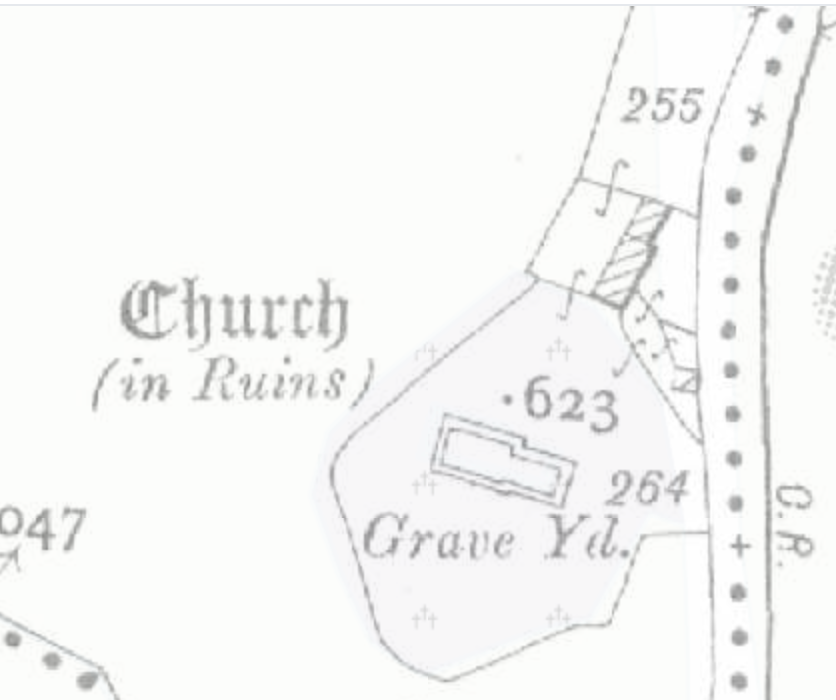
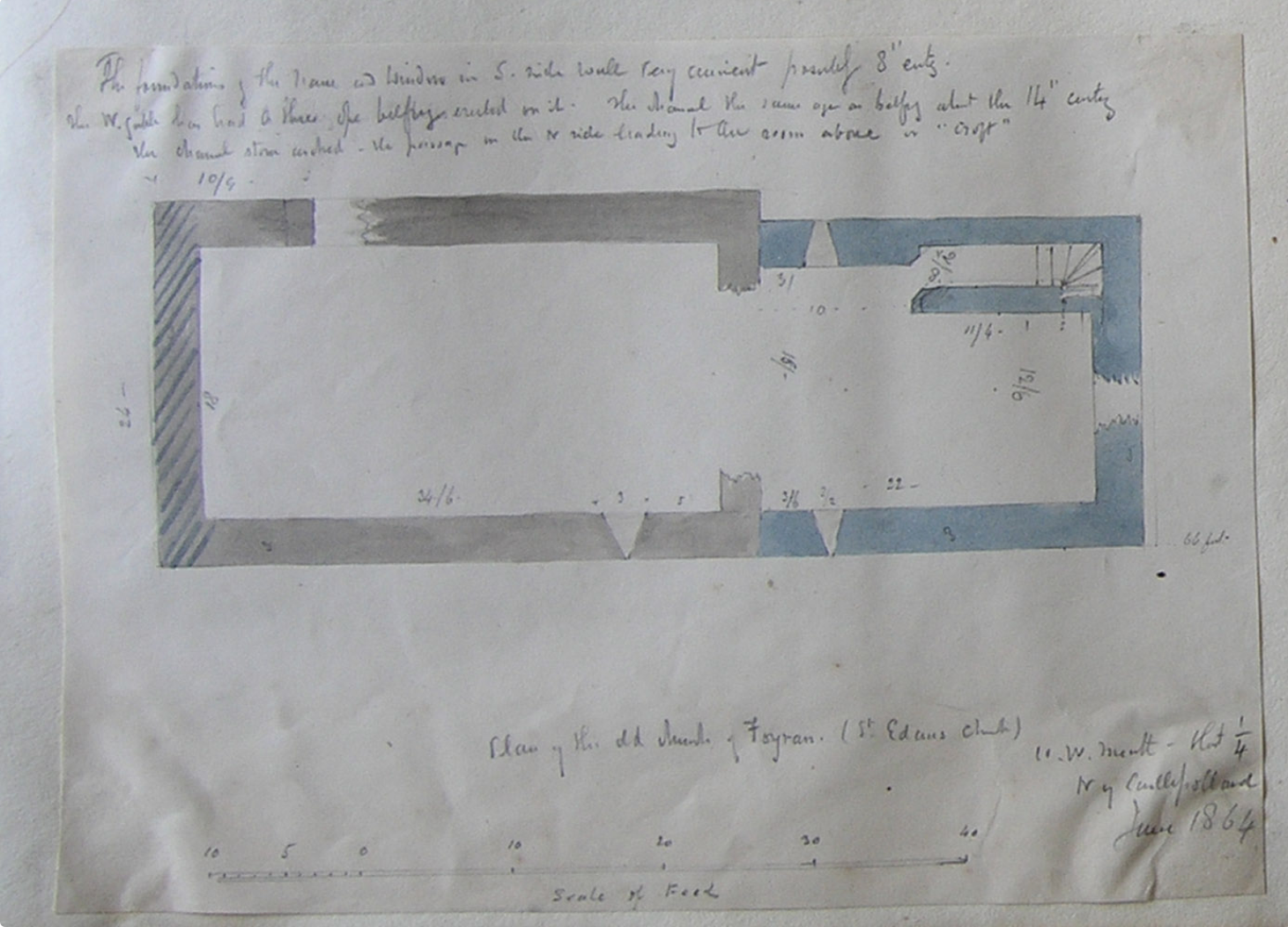
Foyran ( possibly pertaining to a well, ''Tobar''),Foyran civil parish ''The Placename Database of Ireland.'' Retrieved on 19 July 2015. is a historic monument, religious parish, and townland, in , . It is located about north of . Foyran is one of 8 civil parishes in the < ... [...More Info...] [...Related Items...] OR: [Wikipedia] [Google] [Baidu] |
Faughalstown (civil Parish)
Faughalstown (),Faughalstown civil parish ''The Placename Database of Ireland.'' Retrieved on 19 July 2015. is a in , . It is located about north of . Faughalstown is one of 8 civil parishes in the |
Ecclesiastical Parish
A parish is a territorial entity in many Christianity, Christian denominations, constituting a division within a diocese. A parish is under the pastoral care and clerical jurisdiction of a priest#Christianity, priest, often termed a parish priest, who might be assisted by one or more curates, and who operates from a parish church. Historically, a parish often covered the same geographical area as a Manorialism, manor. Its association with the parish church remains paramount. By extension the term ''parish'' refers not only to the territorial entity but to the people of its community or congregation as well as to church property within it. In England this church property was technically in ownership of the parish priest ''Ex officio member, ex-officio'', vested in him on his institution to that parish. Etymology and use First attested in English in the late, 13th century, the word ''parish'' comes from the Old French ''paroisse'', in turn from la, paroecia, the Latinisation ... [...More Info...] [...Related Items...] OR: [Wikipedia] [Google] [Baidu] |


