|
Austin (CTA Green Line)
Austin is a station on the Chicago Transit Authority's 'L' system. It is located between the Ridgeland and Central stations on the Green Line, which runs from Harlem/Lake and to Ashland/63rd and Cottage Grove. The station is located at the intersection of Austin Boulevard and Corcoran Place in the Austin neighborhood on Chicago's West Side and borders the village of Oak Park. Austin opened on April 15, 1899, as part of a surface level extension of the Lake Street Elevated Railroad, along with Central. It was rebuilt in the early 1960s as part of a project which moved the western end of the Lake Street line off of its street level alignment and onto an abandoned strip of the parallel Chicago and Northwestern Railway's embankment. The station at Austin consists of a single island platform; a stairway and escalator connect the platform to a station building. Trains serve Austin from 3:50 a.m. to 1:00 a.m. on weekdays, from 4:55 a.m. to 1:00 a.m. on Saturda ... [...More Info...] [...Related Items...] OR: [Wikipedia] [Google] [Baidu] |
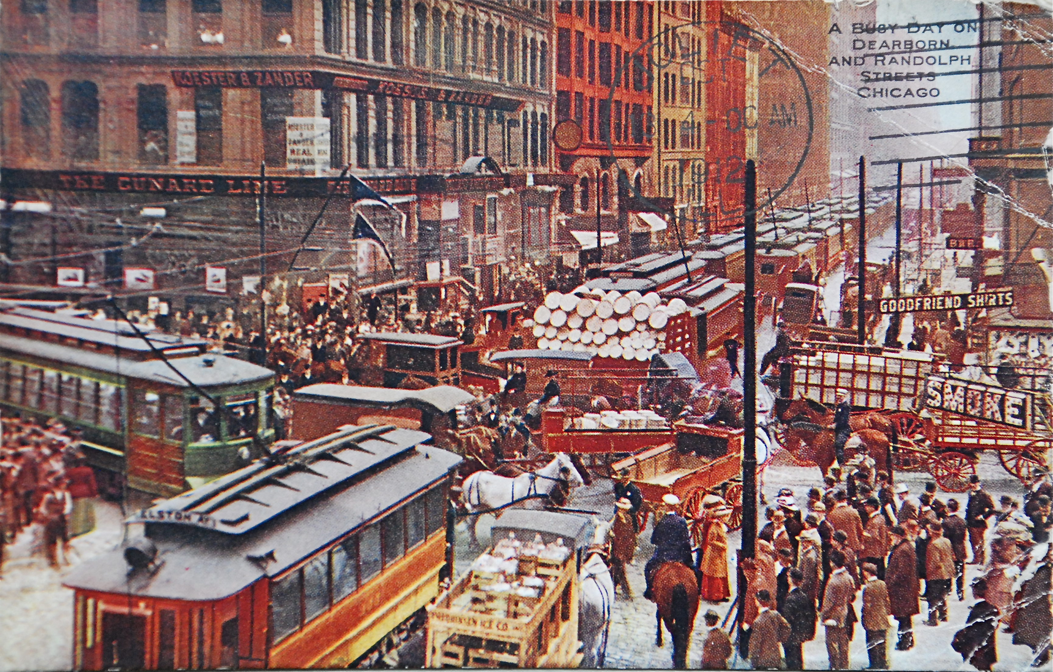
Chicago 'L'
(''City in a Garden''); I Will , image_map = , map_caption = Interactive Map of Chicago , coordinates = , coordinates_footnotes = , subdivision_type = Country , subdivision_name = United States , subdivision_type1 = State , subdivision_type2 = Counties , subdivision_name1 = Illinois , subdivision_name2 = Cook and DuPage , established_title = Settled , established_date = , established_title2 = Incorporated (city) , established_date2 = , founder = Jean Baptiste Point du Sable , government_type = Mayor–council , governing_body = Chicago City Council , leader_title = Mayor , leader_name = Lori Lightfoot ( D) , leader_title1 = City Clerk , leader_name1 = Anna Valencia ( D) , unit_pref = Imperial , area_footnotes = , area_tota ... [...More Info...] [...Related Items...] OR: [Wikipedia] [Google] [Baidu] |
Austin, Chicago
Austin is one of 77 community areas in Chicago Located on the city's West Side, it is the third largest community area by population (behind the Near North Side and Lake View) and the second-largest geographically (behind South Deering). Austin's eastern boundary is the Belt Railway located just east of Cicero Avenue. Its northernmost border is the Milwaukee District / West Line. Its southernmost border is at Roosevelt Road from the Belt Railway west to Austin Boulevard. The northernmost portion, north of North Avenue, extends west to Harlem Avenue, abutting Elmwood Park. In addition to Elmwood Park, Austin also borders the suburbs of Cicero and Oak Park. History Early development In 1835, Henry DeKoven purchased prairie land in the region. In 1857, a group of citizens formed the Town of Cicero, a ten-member local governing body that covered modern day Cicero, Oak Park, Berwyn and Austin. Eight years later, DeKoven's land was bought by Henry W. Austin. Austin, a busine ... [...More Info...] [...Related Items...] OR: [Wikipedia] [Google] [Baidu] |
Cottage Grove Station
Cottage Grove, (formerly East 63rd-Cottage Grove) is an 'L' station and the current terminus of the CTA Green Line's East 63rd branch, located in the Woodlawn neighborhood. The station, situated at 800 East 63rd Street, opened on April 23, 1893. This station is the current terminal of the East 63rd branch of the Green Line, and the easternmost station on the 'L' system. History Cottage Grove officially opened in 1893 when the South Side Rapid Transit company extended its line from 39th Street to Jackson Park, just in time for the World's Columbian Exposition. The line was shortened to Stony Island and 63rd after the fair ended. Stony Island remained the terminus of the East 63rd branch for 88 years. However, on March 4, 1982, service east of 61st was suspended due to a defective bridge over the Illinois Central (now Metra Electric) tracks. Service on the East 63rd branch was restored on December 12, 1982, but only as far as the University station. In 1989, Cottage Grove was de ... [...More Info...] [...Related Items...] OR: [Wikipedia] [Google] [Baidu] |
Ashland/63rd Station
Ashland/63rd is an 'L' station and the terminal of the CTA Green Line's Ashland branch, located in the West Englewood neighborhood of Chicago, Illinois. Situating at 6315 S. Ashland Avenue, the station contains a Park 'n' ride lot with 235 spaces as well as a Kiss 'n' Ride lane. This is one of two stations on the Green Line to be named Ashland. The other station is on the Lake Street branch and is shared between the Green and Pink Lines. The Red Line served this station from May 19, 2013 to October 20, 2013, April 3, 2017 to November 22, 2017, and July 30, 2018 to April 26, 2019. History Loomis Loomis was a station on the Englewood branch of the Chicago "L". Although other stations on the Englewood branch opened in stages, the station opened on July 13, 1907, concluding overall construction of the branch. Despite improvements to the station, it was closed in 1969 when the new Ashland/63rd station opened two blocks west. Ashland/63rd The Ashland/63rd station opened on May 6 ... [...More Info...] [...Related Items...] OR: [Wikipedia] [Google] [Baidu] |
Chicago Loop
The Loop, one of Chicago's 77 designated community areas, is the central business district of the city and is the main section of Downtown Chicago. Home to Chicago's commercial core, it is the second largest commercial business district in North America and contains the headquarters and regional offices of several global and national businesses, retail establishments, restaurants, hotels, and theaters, as well as many of Chicago's most famous attractions. It is home to Chicago's City Hall, the seat of Cook County, and numerous offices of other levels of government and consulates of foreign nations. The intersection of State Street and Madison Street, located in the area, is the origin of the address system of Chicago's street grid. Most of Grant Park's 319 acres (1.29 km2) are in the eastern section of the community area. The Loop community area is bounded on the north and west by the Chicago River, on the east by Lake Michigan, and on the south by Roosevelt Road. The ... [...More Info...] [...Related Items...] OR: [Wikipedia] [Google] [Baidu] |
Accessibility
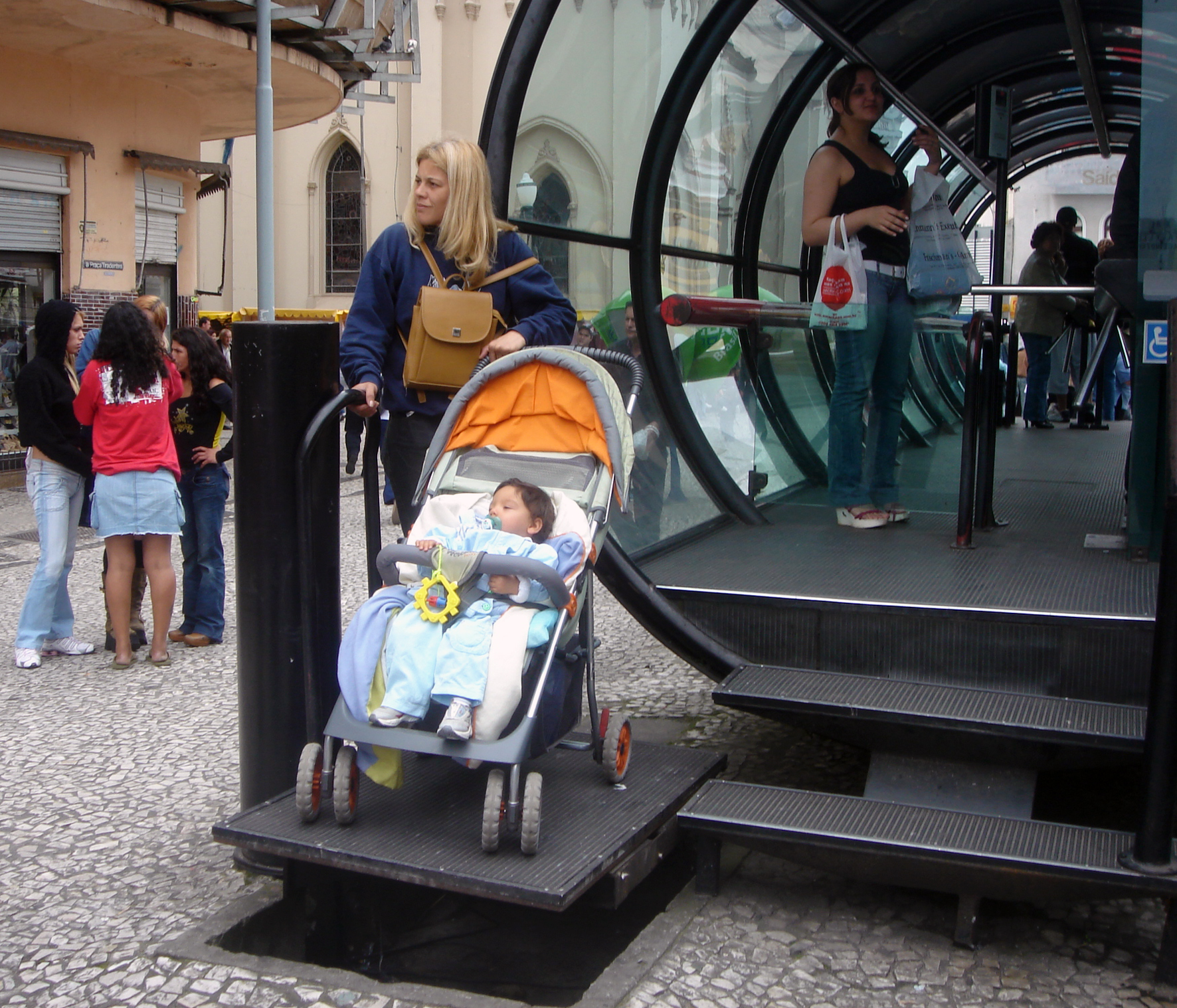
Accessibility is the design of products, devices, services, vehicles, or environments so as to be usable by people with disabilities. The concept of accessible design and practice of accessible development ensures both "direct access" (i.e. unassisted) and "indirect access" meaning compatibility with a person's assistive technology (for example, computer screen readers). Accessibility can be viewed as the "ability to access" and benefit from some system or entity. The concept focuses on enabling access for people with disabilities, or enabling access through the use of assistive technology; however, research and development in accessibility brings benefits to everyone. Accessibility is not to be confused with usability, which is the extent to which a product (such as a device, service, or environment) can be used by specified users to achieve specified goals with effectiveness, efficiency, convenience, or satisfaction in a specified context of use. Accessibility is a ... [...More Info...] [...Related Items...] OR: [Wikipedia] [Google] [Baidu] |
Union Pacific/West Line
The Union Pacific West Line (UP-W) is a Metra commuter rail line operated by Union Pacific Railroad in Chicago, Illinois and its western suburbs. Metra does not refer to its lines by particular colors, but the timetable accents for the Union Pacific West line are "Kate Shelley Rose" pink, honoring an Iowa woman who saved a Chicago & North Western Railway train from disaster in 1881. Green and yellow were already selected for the Union Pacific North Line and Union Pacific Northwest Line, respectively, so pink was chosen for this line. Therefore, the UP-W is the only Metra line that uses a color to honor a person instead of a fallen flag railroad. All Metra trains on this line terminated at until 2006, when the line was extended to its present terminus in . The line runs as part of the Union Pacific Railroad's Geneva Subdivision (ex-C&NW line to Clinton, Iowa.) The line was once known as the Chicago & Northwestern/West Line until UP took over the C&NW in 1995. The line runs from th ... [...More Info...] [...Related Items...] OR: [Wikipedia] [Google] [Baidu] |


