|
At-Bashi
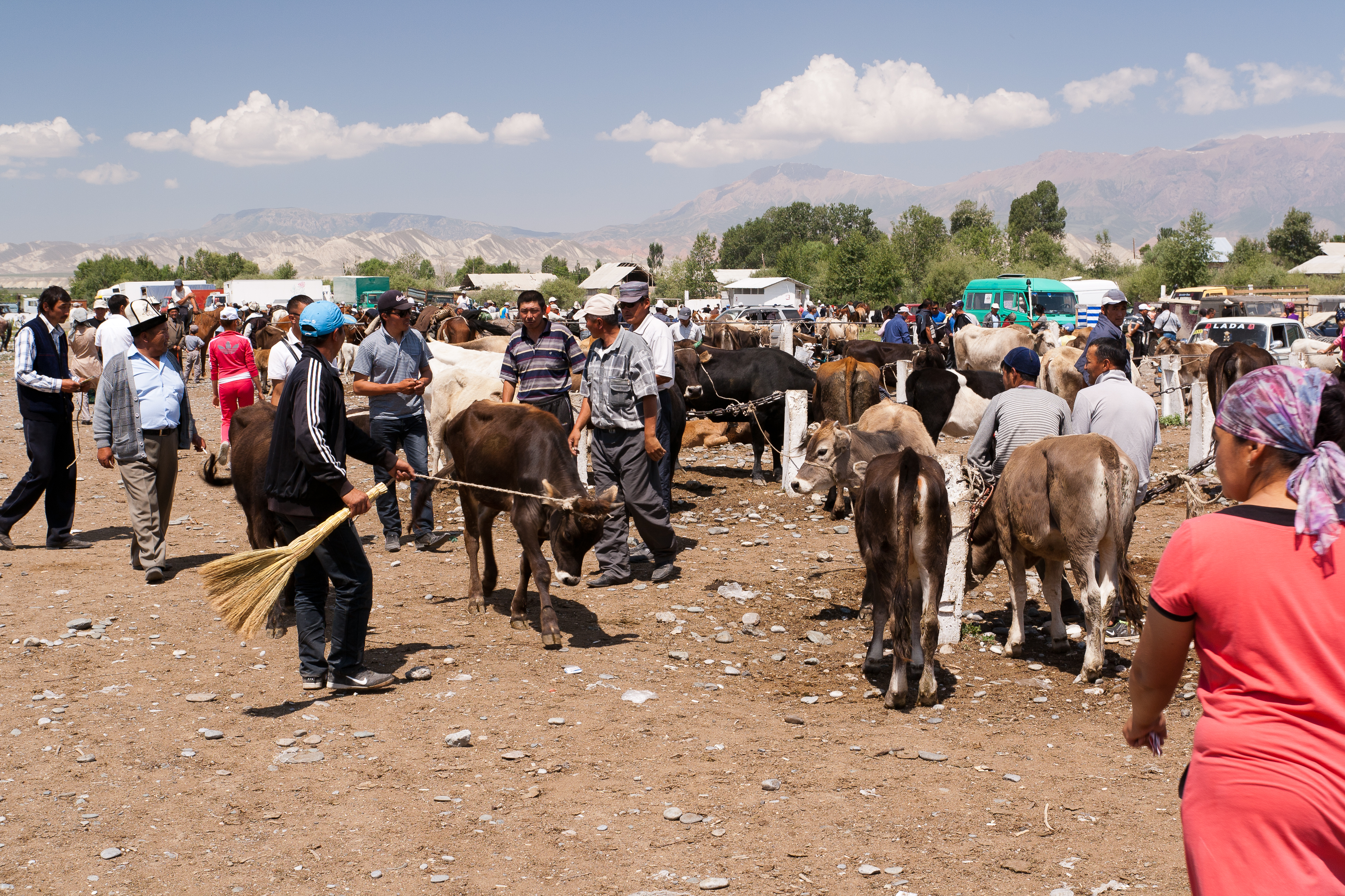
At-Bashy (Kyrgyz: Ат-Башы) is a village in the Naryn Region of Kyrgyzstan, about 35km southwest of Naryn on the main highway to the Torugart Pass. It is the seat of At-Bashy District. The At-Bashy Range to the south extends to Lake Chatyr-Kul. The river At-Bashy At-Bashy ( Kyrgyz: Ат-Башы) is a village in the Naryn Region of Kyrgyzstan, about 35km southwest of Naryn on the main highway to the Torugart Pass. It is the seat of At-Bashy District. The At-Bashy Range to the south extends to Lake Chatyr- ... comes in from the east and then runs northwest through a gorge in the Baybiche-Too range to join the Naryn near Dostuk. It is the last considerable settlement before the Chinese border. The highway, built in 1906, runs southwest between the Baybiche-Too and At-Bashy ranges before turning south and then east to reach the pass. Its population was 14,655 in 2021. Population References Populated places in Naryn Region {{Naryn-geo-stub ... [...More Info...] [...Related Items...] OR: [Wikipedia] [Google] [Baidu] |
At-Bashy (river)
The At-Bashy ( ky, Ат-Башы) is a left tributary of the Naryn in Naryn Region of Kyrgyzstan. The river is formed at the north slope of Jangy-Jer Range by confluence of the rivers Ulan and Jangy-Jer. It flows into the Naryn near Dostuk Dostuk ( ky, Достук) is a village in Naryn District of Naryn Region of Kyrgyzstan on the river Naryn and highway A361 about 35 km west of Naryn. Its population was 750 in 2021. Until 2012 it was an urban-type settlement Urban-type .... It is long, and has a drainage basin of . Average altitude - 3,060 m, annual average flow rate - 33.1 m³/s, and average specific discharge - 5.98 L/s•km2. Settlements located along the banks of the At-Bashy include: At-Bashy, Bash-Kayyngdy, Birinchi May and Taldy-Suu. References Rivers of Kyrgyzstan {{Kyrgyzstan-river-stub ... [...More Info...] [...Related Items...] OR: [Wikipedia] [Google] [Baidu] |
