|
Asmari Formation
The Asmari Formation is a geological formation in western Iran. Located in the western Zagros Mountains, it is a carbonate formation that largely consists of limestone, dolomitic limestone, dolomite, and marly limestone. There are also smaller amounts of anhydrite, lithic sandstone, and limey sandstone. The formation dates to the Oligocene and Miocene periods and is a major hydrocarbon reserve. It has been producing oil since the 1930s. It also forms a major aquifer, which discharges at various springs in the Zagros region. The Asmari Formation's basic biostratigraphy was established in the 1950s and it was formally described in 1965. It consists of carbonate platforms that were formed in 6 distinct stages. The formation is named after the Asmari Mountains southeast of Masjed Soleyman, and its type sample was taken from the Tang-e Gel Torsh in these mountains. The Asmari Formation was deposited at a time when the Tethys Ocean was finally closing and the Zagros Mountains were f ... [...More Info...] [...Related Items...] OR: [Wikipedia] [Google] [Baidu] |
Geological Formation
A geological formation, or simply formation, is a body of rock having a consistent set of physical characteristics ( lithology) that distinguishes it from adjacent bodies of rock, and which occupies a particular position in the layers of rock exposed in a geographical region (the stratigraphic column). It is the fundamental unit of lithostratigraphy, the study of strata or rock layers. A formation must be large enough that it can be mapped at the surface or traced in the subsurface. Formations are otherwise not defined by the thickness of their rock strata, which can vary widely. They are usually, but not universally, tabular in form. They may consist of a single lithology (rock type), or of alternating beds of two or more lithologies, or even a heterogeneous mixture of lithologies, so long as this distinguishes them from adjacent bodies of rock. The concept of a geologic formation goes back to the beginnings of modern scientific geology. The term was used by Abraham Gottlob Wer ... [...More Info...] [...Related Items...] OR: [Wikipedia] [Google] [Baidu] |
Masjed Soleyman
Masjed Soleyman ( fa, مسجدسلیمان, also Romanized as Masjedsoleimān, Masjed-e Soleymān, Masjed Soleiman, and Masjid-i-Sulaiman) is a city and capital of Masjed Soleyman County, Khuzestan Province, Iran. At the 2006 census, its population was 206,121, in 51,530 families. People The city of Masjed Soleyman is home to a large Bakhtiyari population of the Haft-lang tribe. The Bakhtiaris occupy the mountain tract in South-West Persia lying roughly between longitudes 31 to 34 N and 48 40' to 51 E, bound on the south by the plains of Khuzistan and on the north by the districts of Chahar Mahal, Faridan, and Khonsar where the central Iranian Plateau blends into the great southern mountain range. Bakhtiaris were semi-nomadic and their livelihood depended on the survival of their herds of sheep, cattle, and horses. The four main tribal divisions of Haft Lang are Duraki, Babadi, Bakhtiarwand, and Dinaruni whom are then divided into lesser clans. Climate At Masjed-Soleyman, the ... [...More Info...] [...Related Items...] OR: [Wikipedia] [Google] [Baidu] |
Echinoid
Sea urchins () are spine (zoology), spiny, globular echinoderms in the class Echinoidea. About 950 species of sea urchin live on the seabed of every ocean and inhabit every depth zone from the intertidal seashore down to . The spherical, hard shells (Test (biology), tests) of sea urchins are round and spiny, ranging in diameter from . Sea urchins move slowly, crawling with tube feet, and also propel themselves with their spines. Although algae are the primary diet, sea urchins also eat slow-moving (Sessility (motility), sessile) animals. Predation, Predators that eat sea urchins include a wide variety of fish, starfish, crabs, marine mammals. Sea urchins are also used as food especially in Japan. Adult sea urchins have fivefold symmetry, but their pluteus larvae feature Bilateral symmetry, bilateral (mirror) symmetry, indicating that the sea urchin belongs to the Bilateria group of animal phylum, phyla, which also comprises the chordates and the arthropods, the annelids and the ... [...More Info...] [...Related Items...] OR: [Wikipedia] [Google] [Baidu] |
Foraminifera
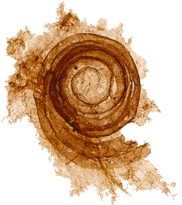
Foraminifera (; Latin for "hole bearers"; informally called "forams") are single-celled organisms, members of a phylum or class of amoeboid protists characterized by streaming granular Ectoplasm (cell biology), ectoplasm for catching food and other uses; and commonly an external shell (called a "Test (biology), test") of diverse forms and materials. Tests of chitin (found in some simple genera, and Textularia in particular) are believed to be the most primitive type. Most foraminifera are marine, the majority of which live on or within the seafloor sediment (i.e., are benthos, benthic), while a smaller number float in the water column at various depths (i.e., are planktonic), which belong to the suborder Globigerinina. Fewer are known from freshwater or brackish conditions, and some very few (nonaquatic) soil species have been identified through molecular analysis of small subunit ribosomal DNA. Foraminifera typically produce a test (biology), test, or shell, which can have eithe ... [...More Info...] [...Related Items...] OR: [Wikipedia] [Google] [Baidu] |
Plankton
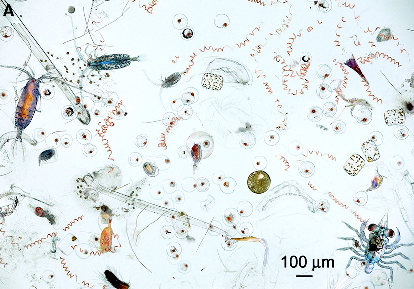
Plankton are the diverse collection of organisms found in Hydrosphere, water (or atmosphere, air) that are unable to propel themselves against a Ocean current, current (or wind). The individual organisms constituting plankton are called plankters. In the ocean, they provide a crucial source of food to many small and large aquatic organisms, such as bivalves, fish and whales. Marine plankton include bacteria, archaea, algae, protozoa and drifting or floating animals that inhabit the saltwater of oceans and the brackish waters of estuaries. Freshwater plankton are similar to marine plankton, but are found in the freshwaters of lakes and rivers. Plankton are usually thought of as inhabiting water, but there are also airborne versions, the aeroplankton, that live part of their lives drifting in the atmosphere. These include plant spores, pollen and wind-scattered seeds, as well as microorganisms swept into the air from terrestrial dust storms and oceanic plankton swept into the air ... [...More Info...] [...Related Items...] OR: [Wikipedia] [Google] [Baidu] |
Microfossil
A microfossil is a fossil that is generally between 0.001 mm and 1 mm in size, the visual study of which requires the use of light or electron microscopy. A fossil which can be studied with the naked eye or low-powered magnification, such as a hand lens, is referred to as a macrofossil. Microfossils are a common feature of the geological record, from the Precambrian to the Holocene. They are most common in deposits of marine environments, but also occur in brackish water, fresh water and terrestrial sedimentary deposits. While every kingdom of life is represented in the microfossil record, the most abundant forms are protist skeletons or microbial cysts from the Chrysophyta, Pyrrhophyta, Sarcodina, acritarchs and chitinozoans, together with pollen and spores from the vascular plants. Overview A microfossil is a descriptive term applied to fossilized plants and animals whose size is just at or below the level at which the fossil can be analyzed by the naked eye. A ... [...More Info...] [...Related Items...] OR: [Wikipedia] [Google] [Baidu] |
Zagros Fold And Thrust Belt
The Zagros fold and thrust belt (Zagros FTB) is an approximately long zone of deformed crustal rocks, formed in the foreland of the collision between the Arabian Plate and the Eurasian Plate. It is host to one of the world's largest petroleum provinces, containing about 49% of the established hydrocarbon reserves in fold and thrust belts (FTBs) and about 7% of all reserves globally. Plate tectonic setting The Zagros FTB is formed along a section of the plate boundary that is subject to oblique convergence with the Arabian Plate moving northwards with respect to the Eurasian Plate at about 3 cm per year. The degree of obliqueness reduces southwards along the Zagros, with the collision becoming near orthogonal within the Fars domain. The relative movement between the plates is only partly taken up within the Zagros, the remainder is taken up by deformation in the Alborz mountains and the Lesser Caucasus mountains to the north of the Iranian plateau and along the zone formed ... [...More Info...] [...Related Items...] OR: [Wikipedia] [Google] [Baidu] |
Shahbazan Formation
Shahbazan ( fa, شهبازان, also Romanized as Shahbāzān) is a village in Mazu Rural District, Alvar-e Garmsiri District , native_name_lang = fa , settlement_type = District , image_skyline = , imagesize = , image_alt = , image_caption = , image_flag = , flag_alt = , ..., Andimeshk County, Khuzestan Province, Iran. At the 2006 census, its population was 91, in 27 families. References Populated places in Andimeshk County {{Andimeshk-geo-stub ... [...More Info...] [...Related Items...] OR: [Wikipedia] [Google] [Baidu] |
Jahrum Formation
Jahrom ( fa, جهرم, also known as Jahrūm) is a city and capital of Jahrom County, Fars Province, Iran. At the 2016 census, its population was 141,634. Jahrom is the largest city in south of Fars Province and the second one in whole province. Jahrom is one of the historical cities of Iran. The founder of the city of Jahrom, Artaxerxes I of Persia, the son of Xerxes I, the fifth Achaemenid king. Ferdosi has mentioned Jahrom many times in Shahnameh, especially in the stories related to Ardashir I. There are many ancient monuments and tourist attractions in Jahrom, Such as Sangtarashan cave, Jameh Mosque of Jahrom, Jahrom bazaar, Khan school and fire temple of Jahrom (Qadamgah). Jahrom is located southeast of Shiraz, the capital of Fars Province. Jahrom has a hot semi-arid climate, the average rainfall is about per year, and the average temperature is about . The average height of Jahrom is about above sea level. The majority of people in Jahrom are Persians and S ... [...More Info...] [...Related Items...] OR: [Wikipedia] [Google] [Baidu] |


