|
Arvieux
Arvieux (; oc, Arvieus) is a commune of the Hautes-Alpes department in the Provence-Alpes-Côte d'Azur region of south-eastern France. The inhabitants of the commune are known as ''Arvidants'' or ''Arvidantes''. Geography Arvieux lies at the foot of the Col d'Izoard in the Arvieux Valley some 20 km south by south-east of Briançon and 13 km east by north-east of La Roche-de-Rame. It is surrounded by the high mountains of the ''Massif du Queyras'' whose highest point is in the commune at ''Pic du Béal Traversier'' at 2912 m. Access to the commune is by the D902 from Cervières in the north which goes by a tortuous route through the commune to the village then continues south-east to Guillestre. Apart from the village there are the hamlets of La Draye, Brunissard La Chalp, and Le Coin north of the village and La Cassiere, Les Maisons, Le Pasquier, Villargaudin, Les Moulins, Les Escoyeres, and Les Esponces south of the village. The commune is a high alpine commune wit ... [...More Info...] [...Related Items...] OR: [Wikipedia] [Google] [Baidu] |
Guil
The Guil (french: le Guil) is a long river in the Hautes-Alpes ''département'', southeastern France. Its drainage basin is .Bassin versant : Guil (Le) Observatoire Régional Eau et Milieux Aquatiques en PACA Its source is several small streams which converge into the lake Lestio, at . It flows generally west, through the . It is a of the |
Communes Of France
The () is a level of administrative division in the French Republic. French are analogous to civil townships and incorporated municipalities in the United States and Canada, ' in Germany, ' in Italy, or ' in Spain. The United Kingdom's equivalent are civil parishes, although some areas, particularly urban areas, are unparished. are based on historical geographic communities or villages and are vested with significant powers to manage the populations and land of the geographic area covered. The are the fourth-level administrative divisions of France. vary widely in size and area, from large sprawling cities with millions of inhabitants like Paris, to small hamlets with only a handful of inhabitants. typically are based on pre-existing villages and facilitate local governance. All have names, but not all named geographic areas or groups of people residing together are ( or ), the difference residing in the lack of administrative powers. Except for the municipal arrondi ... [...More Info...] [...Related Items...] OR: [Wikipedia] [Google] [Baidu] |
Ceillac
Ceillac (; oc, Celhac) is a commune in the Hautes-Alpes department in southeastern France. Geography Climate Ceillac has a humid continental climate (Köppen climate classification ''Dfb''). The average annual temperature in Ceillac is . The average annual rainfall is with October as the wettest month. The temperatures are highest on average in July, at around , and lowest in January, at around . The highest temperature ever recorded in Ceillac was on 27 June 2019; the coldest temperature ever recorded was on 10 February 1986. Population See also *Communes of the Hautes-Alpes department The following is a list of the 162 communes of the Hautes-Alpes department of France. The communes cooperate in the following intercommunalities (as of 2020): [...More Info...] [...Related Items...] OR: [Wikipedia] [Google] [Baidu] |
Humbert II Of Viennois
Humbert II de la Tour-du-Pin (1312 – 4 May 1355) was the Dauphin of the Viennois from 1333 to 16 July 1349. Humbert was the last dauphin before the title went to the French crown, to be bestowed on the heir apparent. Character Humbert was a son of Dauphin John II of Viennois and Beatrice of Hungary. To contemporaries, he was incompetent and extravagant, lacking the warlike ardour of his brother. He passed his youth at Naples enjoying the aesthetic pleasures of the Italian ''trecento''. His subsequent court at Beauvoir-en-Royans had a reputation for extravagance. Unlike his predecessors, Humbert was not itinerant, moving continually from one dauphinal castle to another, instead preferring to settle in Beauvoir. He depleted his treasury rather than institute oppressive taxes. War and politics When Humbert inherited the Dauphiné on the death of his brother Guigues VIII in 1333, they were at war with Aymon, Count of Savoy. Within a year, King Philip VI of France was able to ... [...More Info...] [...Related Items...] OR: [Wikipedia] [Google] [Baidu] |
Saint-Véran
Saint-Véran (; oc, Sent Veran �sã vˈʀã is a commune in the Hautes-Alpes department in southeastern France in the Queyras Regional Natural Park. Geography Saint-Véran, located in the French Alps, is the most elevated commune in France and in Europe.Page 505, Chapter Hautes Alpes, book France, Collection Guide vert, publisher Le Michelin, 2009 It is the third highest village in Europe, after Trepalle in Italy and Juf in Switzerland. The permanent population is around 300 but swells with tourists in both summer and winter. In addition to tourism the main activities are agriculture and woodcraft. Climate Saint-Véran has a humid continental climate (Köppen climate classification ''Dfb''). The average annual temperature in Saint-Véran is . The average annual rainfall is with June as the wettest month. The temperatures are highest on average in July, at around , and lowest in January, at around . The highest temperature ever recorded in Saint-Véran was on 23 August 1961; ... [...More Info...] [...Related Items...] OR: [Wikipedia] [Google] [Baidu] |
Ristolas
Ristolas is a former commune in the Hautes-Alpes department in southeastern France. On 1 January 2019, it was merged into the new commune of Abriès-Ristolas. The village lies in the Queyras, in the northwestern part of the commune, on the left bank of the Guil, which has its source in the southeastern part of the commune. Population See also *Communes of the Hautes-Alpes department The following is a list of the 162 communes of the Hautes-Alpes department of France. The communes cooperate in the following intercommunalities (as of 2020):Former communes of Hautes-Alpes ... [...More Info...] [...Related Items...] OR: [Wikipedia] [Google] [Baidu] |
Aiguilles
Aiguilles (; oc, Agulhas) is a commune of the Hautes-Alpes department in southeastern France. Geography The village lies in the middle of the commune, on the right bank of the Guil, which flows southwest through the commune. Population See also *Communes of the Hautes-Alpes department * Pic de Petit Rochebrune The Pic de Petit Rochebrune (or, simply, ''Petit Rochebrune'') is a mountain in the Cottian Alps belonging to the French department of Hautes-Alpes. Etymology The literal English translation of ''Pic de Rochebrune'' can be ''dark rock peak'' ... References Communes of Hautes-Alpes Dauphiné {{HautesAlpes-geo-stub ... [...More Info...] [...Related Items...] OR: [Wikipedia] [Google] [Baidu] |
Abriès
Abriès (Vivaro-Alpine: ''Abrièrs'') is a former commune in the Hautes-Alpes department in southeastern France. On 1 January 2019, it was merged into the new commune of Abriès-Ristolas. It belongs to the Queyras Regional Park. It is located in the valley of the Guil and is appreciated for its position along long and medium distance footpaths in a rural and preserved environment. It also hosts a small ski resort. Geography The elevation of Abriès is between 1,513 and 3,305 meters, and before the second half of the 20th century, it was difficult to access because of its location in the end of the Guil valley. It has always has been a path between Italy and the southern Alps in France. Population See also *Communes of the Hautes-Alpes department The following is a list of the 162 communes of the Hautes-Alpes department of France. The communes cooperate in the following intercommunalities (as of 2020): [...More Info...] [...Related Items...] OR: [Wikipedia] [Google] [Baidu] |
Dauphiné
The Dauphiné (, ) is a former province in Southeastern France, whose area roughly corresponded to that of the present departments of Isère, Drôme and Hautes-Alpes. The Dauphiné was originally the Dauphiné of Viennois. In the 12th century, the local ruler Count Guigues IV of Albon (c. 1095–1142) bore a dolphin on his coat of arms and was nicknamed ''le Dauphin'' (French for dolphin). His descendants changed their title from Count of Albon to Dauphin of Viennois. The state took the name of Dauphiné. It became a state of the Holy Roman Empire in the 11th century. However, the Dauphin of France was the title of the eldest son of a king of France and the heir apparent to the French crown, from 1350 to 1830. The title was established by the royal house of France through the purchase of lands known as the Dauphiné in 1349 by the future Charles V of France. The Dauphiné is best known for its transfer from the last non-royal Dauphin (who had great debts and no direct hei ... [...More Info...] [...Related Items...] OR: [Wikipedia] [Google] [Baidu] |
Saracen
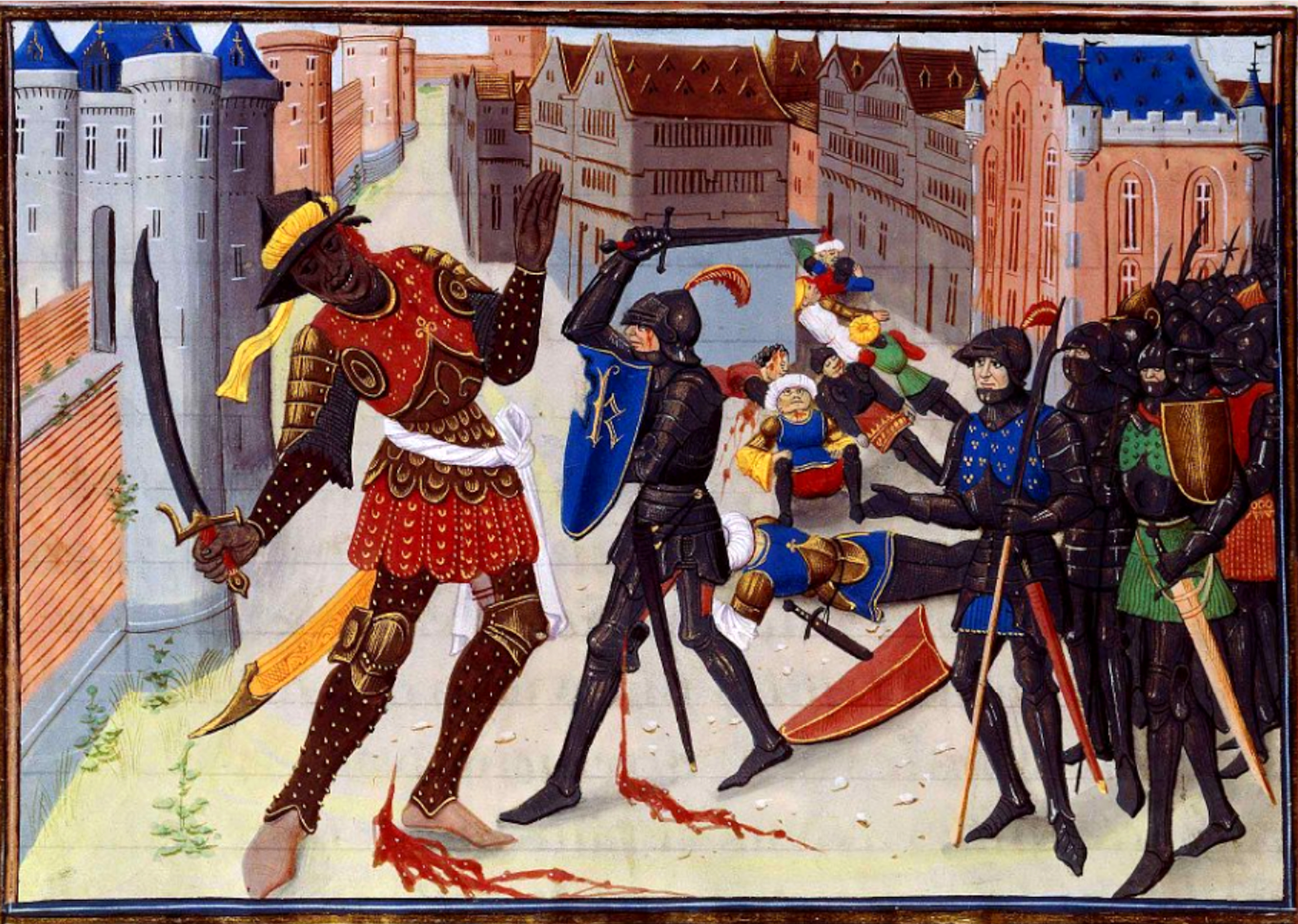
upright 1.5, Late 15th-century German woodcut depicting Saracens Saracen ( ) was a term used in the early centuries, both in Greek and Latin writings, to refer to the people who lived in and near what was designated by the Romans as Arabia Petraea and Arabia Deserta. The term's meaning evolved during its history of usage. During the Early Middle Ages, the term came to be associated with the tribes of Arabia. The oldest known source mentioning "Saracens" in relation to Islam dates back to the 7th century, in the Greek-language Christian tract ''Doctrina Jacobi''. Among other major events, the tract discusses the Muslim conquest of the Levant, which occurred after the rise of the Rashidun Caliphate following the death of the Islamic prophet Muhammad. The Roman-Catholic church and European Christian leaders used the term during the Middle Ages to refer to Muslims—usually Arabs, Turks, and Iranians. By the 12th century, "Saracen" had become synonymous with "Muslim" in Medieva ... [...More Info...] [...Related Items...] OR: [Wikipedia] [Google] [Baidu] |
Celtic Languages
The Celtic languages ( usually , but sometimes ) are a group of related languages descended from Proto-Celtic. They form a branch of the Indo-European language family. The term "Celtic" was first used to describe this language group by Edward Lhuyd in 1707, following Paul-Yves Pezron, who made the explicit link between the Celts described by classical writers and the Welsh and Breton languages. During the 1st millennium BC, Celtic languages were spoken across much of Europe and central Anatolia. Today, they are restricted to the northwestern fringe of Europe and a few diaspora communities. There are six living languages: the four continuously living languages Breton, Irish, Scottish Gaelic and Welsh, and the two revived languages Cornish and Manx. All are minority languages in their respective countries, though there are continuing efforts at revitalisation. Welsh is an official language in Wales and Irish is an official language of Ireland and of the European Union. Welsh ... [...More Info...] [...Related Items...] OR: [Wikipedia] [Google] [Baidu] |
Gallic People
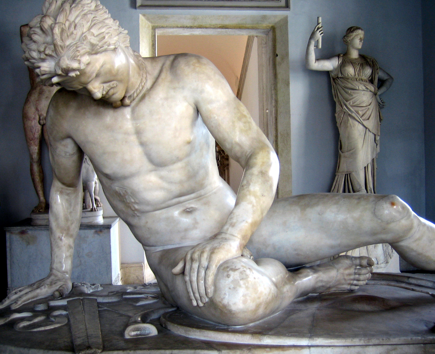
The Gauls ( la, Galli; grc, Γαλάται, ''Galátai'') were a group of Celtic peoples of mainland Europe in the Iron Age and the Roman period (roughly 5th century BC to 5th century AD). Their homeland was known as Gaul (''Gallia''). They spoke Gaulish, a continental Celtic language. The Gauls emerged around the 5th century BC as bearers of La Tène culture north and west of the Alps. By the 4th century BC, they were spread over much of what is now France, Belgium, Switzerland, Southern Germany, Austria, and the Czech Republic, by virtue of controlling the trade routes along the river systems of the Rhône, Seine, Rhine, and Danube. They reached the peak of their power in the 3rd century BC. During the 4th and 3rd centuries BC, the Gauls expanded into Northern Italy ( Cisalpine Gaul), leading to the Roman–Gallic wars, and into the Balkans, leading to war with the Greeks. These latter Gauls eventually settled in Anatolia, becoming known as Galatians. After the end of ... [...More Info...] [...Related Items...] OR: [Wikipedia] [Google] [Baidu] |


%2C_Musée_de_la_Révolution_française_-_Vizille.jpg)

