|
Arkansas Highway 176
Arkansas Highway 176 (AR 176, Ark. 176, and Hwy. 176) is the designation for a state highway which is located in Central Arkansas. The highway is split into two sections. The first section begins at Interstate 40 (I-40) and AR 365 in North Little Rock and ends at Camp Robinson Road and Remount Road in North Little Rock. The second section begins at AR 107 in Sherwood and ends at Rixie Road in Sherwood. AR 176 also has a spur route (signed as Highway 176Y or AR 176Y), which intersects US Route 67/ US Route 167 (US 67/US 167) southbound. Route description Camp Robinson Road (North Little Rock route) AR 176 begins at I-40 (via exit 152B westbound) and AR 365 in North Little Rock, in the Levy subdivision. The route heads north, before intersecting Camp Robinson Road. AR 176 follows Camp Robinson Road for about before reaching its eastern terminus at the intersection of Remount Road and Camp Robinson Road. Kiehl Avenue (S ... [...More Info...] [...Related Items...] OR: [Wikipedia] [Google] [Baidu] |
North Little Rock, Arkansas
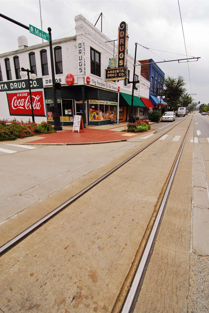
North Little Rock is a city in Pulaski County, Arkansas, across the Arkansas River, Arkansas from Little Rock, Arkansas, Little Rock in the central part of the state. The population was 64,591 at the 2020 United States Census, 2020 census. In 2019 the estimated population was 65,903, making it the seventh-most populous city in the state. North Little Rock, along with Little Rock, Arkansas, Little Rock and Conway, Arkansas, Conway, anchors the six-county Little Rock–North Little Rock–Conway Little Rock-North Little Rock-Conway metropolitan area, Metropolitan Statistical Area (2014 population 729,135), which is further included in the Little Rock-North Little Rock Central Arkansas, Combined Statistical Area with 902,443 residents. The city's downtown is anchored in the Argenta Historic District, the location of Dickey-Stephens Park, home of the Arkansas Travelers minor league baseball team, and Simmons Bank Arena, the metropolitan area's main entertainment venue. Farth ... [...More Info...] [...Related Items...] OR: [Wikipedia] [Google] [Baidu] |
Sherwood, Arkansas
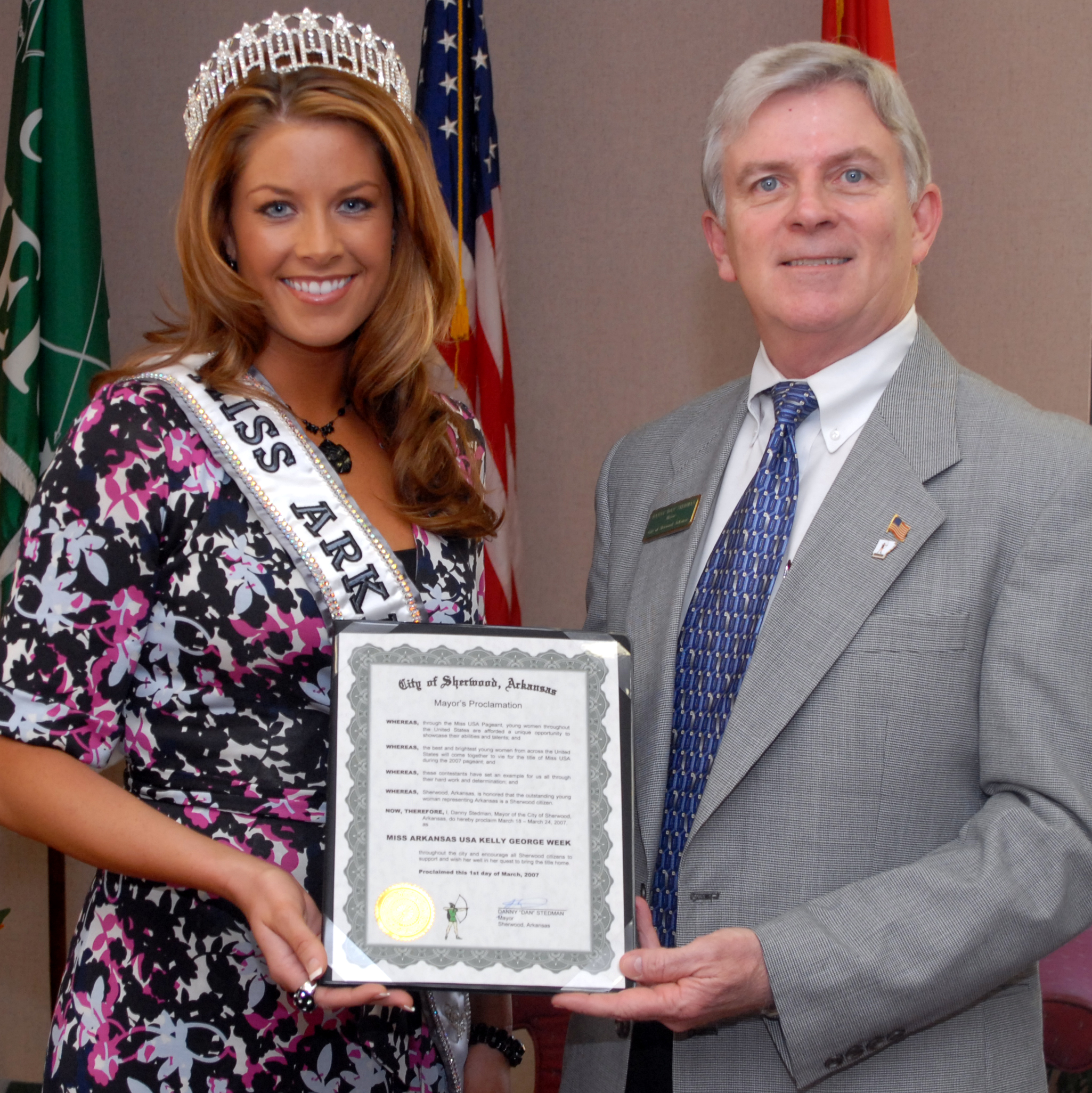
Sherwood is a city in Pulaski County, Arkansas, United States. As of the 2020 census, the population of the city was 32,731. It is part of the Little Rock−North Little Rock− Conway Metropolitan Statistical Area with 699,757 people according to the 2010 census. History Sherwood was officially incorporated as a town on April 22, 1948. Sherwood moved to a city of Second Class on September 16, 1957 and subsequently as a city of First Class on April 30, 1971. Geography Sherwood is located at (34.830890, -92.211514). According to the United States Census Bureau, the city has a total area of , of which is land and , or 1.15%, is water. Climate Sherwood lies in the humid subtropical climate zone (Köppen ''Cfa''). Sherwood experiences all four seasons and does receive cold air masses from the north. July is the hottest month of the year, with an average high of and an average low of . Temperatures above are somewhat common. January is the coldest month with an average hig ... [...More Info...] [...Related Items...] OR: [Wikipedia] [Google] [Baidu] |
Pulaski County, Arkansas
Pulaski County is located in the U.S. state of Arkansas with a population of 399,125, making it the most populous county in Arkansas. The county is included in the Little Rock–North Little Rock– Conway metropolitan area. Its county seat is Little Rock, which is also Arkansas's capital and largest city. Pulaski County is Arkansas's fifth county, formed on December 15, 1818, alongside Clark and Hempstead Counties. Pulaski County is named for Brigadier General Casimir Pulaski, a Polish-born Continental Army officer who was killed in action at the Siege of Savannah during the Revolutionary War. The county was the site of the Battle of Bayou Fourche on September 10, 1863. The Union army took control the same day and occupied Pulaski County until the end of the Civil War. The county was home to Willow Springs Water Park, one of the oldest water parks in the nation, which opened in 1928 and closed in 2013. Geography According to the U.S. Census Bureau, the county has a total ar ... [...More Info...] [...Related Items...] OR: [Wikipedia] [Google] [Baidu] |
List Of State Highways In Arkansas
The following is a list of state highways in Arkansas. The state does not use a numbering convention. Generally the two-digit odd numbered highways run north–south with a few exceptions; and even-numbered two-digit state highways run east–west with a few exceptions. Arkansas has long had a stigma of poor roads, dating from the "Arkansas Roads Scandal" playing a prominent role in state politics through the 1920s and 1930s, periodic allegations of corruption, waste, and fraud, and a long-running struggle to adequately fund the operation, maintenance and expansion of a large highway system serving a rural state. The state has received the designation of "worst roads in America" from several publications throughout the 1990s and into the 2000s, with Interstate 30 and Interstate 40 often ranking particularly poorly among truckers. Rankings improved until a large construction plan was completed on I-40. A 2000 survey cited the poor condition of rural interstates, as well as narro ... [...More Info...] [...Related Items...] OR: [Wikipedia] [Google] [Baidu] |
Central Arkansas
Central Arkansas, also known as the Little Rock metro, designated by the United States Office of Management and Budget as the Little Rock-North Little Rock-Conway Metropolitan Statistical Area, is the most populous metro area in the U.S. state of Arkansas. With an estimated 2020 population of 748,031, it is the most populated area in Arkansas. Located at the convergence of Arkansas's other geographic regions, the region's central location make Central Arkansas an important population, economic, education, and political center in Arkansas and the South. Little Rock is the state's capital and largest city, and the city is also home to two Fortune 500 companies, Arkansas Children's Hospital, and University of Arkansas for Medical Sciences (UAMS). History The site known as "little rock" along the Arkansas River was found by explorer Bernard de la Harpe in 1722. The territorial capitol had been located at Arkansas Post in Southeast Arkansas since 1819, but the site had proven unsuita ... [...More Info...] [...Related Items...] OR: [Wikipedia] [Google] [Baidu] |
Interstate 40 In Arkansas
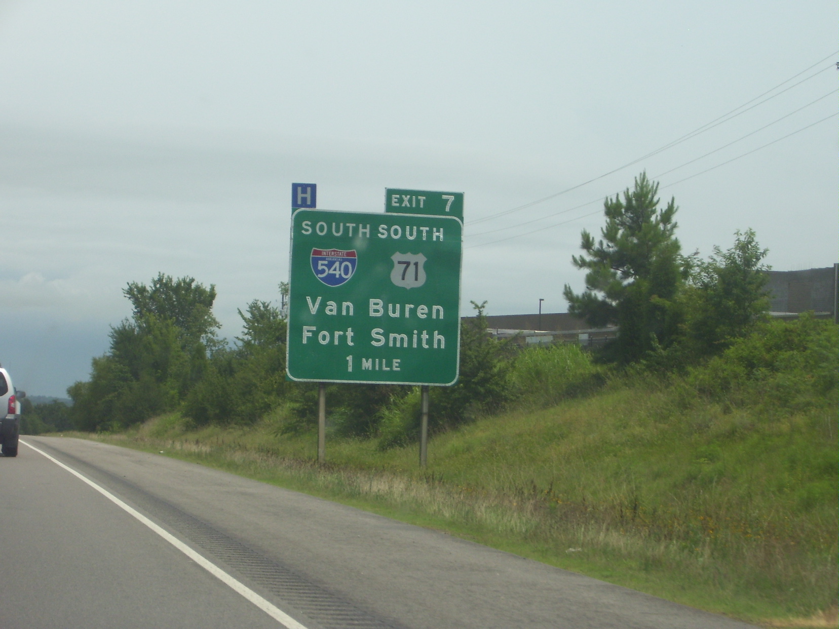
Interstate 40 (I-40) is an east–west Interstate Highway that has a section in the U.S. state of Arkansas, connecting Oklahoma to Tennessee. The route enters Arkansas from the west just north of the Arkansas River near Dora. It travels eastward across the northern portion of the state, connecting the cities of Fort Smith, Clarksville, Russellville, Morrilton, Conway, North Little Rock, Forrest City, and West Memphis. I-40 continues into Tennessee, heading through Memphis. The highway has major junctions with I-540 at Van Buren (the main highway connecting to Fort Smith), I-49 at Alma (the main highway connecting to Fayetteville and Bentonville), I-30 in North Little Rock (the Interstate linking south to Texarkana and Dallas, Texas), and I-55 to Blytheville. For the majority of its routing through Arkansas, I-40 follows the historic alignment of two separate U.S. Highways. From Oklahoma to Little Rock, I-40 generally follows U.S. Highway 64 through the Oza ... [...More Info...] [...Related Items...] OR: [Wikipedia] [Google] [Baidu] |
Arkansas Highway 365
Arkansas Highway 365 (AR 365 and Hwy. 365) is a north–south state highway in Central Arkansas. The route of runs from US 65B/ US 79B in Pine Bluff north through Little Rock to US 65B/ AR 60 in Conway. The route is a redesignation of former U.S. Route 65, which has since been rerouted onto various Interstate highways through the area. Portions of Highway 365 in Jefferson County are former alignments of the Dollarway Road, which was the longest paved concrete road upon completion in 1913. Route description As a former US Highway, the route passes through many historic districts and has many junctions. The route begins at US 65B/ US 79B (the Martha Mitchell Expressway) in northwest Pine Bluff near the University of Arkansas at Pine Bluff and runs northwest. Highway 365 is known as Dollarway Road in this part of Pine Bluff as it follows the original routing of the Dollarway Road, a 1913 paving project that gave Jefferson County the longest continuous concrete road in the ... [...More Info...] [...Related Items...] OR: [Wikipedia] [Google] [Baidu] |
Arkansas Highway 107
Arkansas Highway 107 is the name of multiple state highways in Arkansas."Cleburne County, Arkansas." Arkansas State Highway and Transportation DepartmentAHTD Cleburne County mapRetrieved on August 28, 2010."Faulkner County, Arkansas." Arkansas State Highway and Transportation DepartmentAHTD Faulkner County mapRetrieved on August 28, 2010."Pulaski County, Arkansas." Arkansas State Highway and Transportation DepartmentAHTD Pulaski County mapRetrieved on August 28, 2010. Section 1 Arkansas Highway 107 is a state highway of that runs in Faulkner and Cleburne counties. Route description AR 107 begins at AR 36 near Holland. The route runs north to meet AR 25 and AR 225 before entering Quitman and Cleburne County. In Quitman, AR 25 also meets AR 124, which it follows east out of town. After breaking north, AR 107 reunites with AR 25 north to an area just south of Heber Springs. AR 107 ends at AR 110 in Heber Springs. AR 107 has in Faulkner County and in Cleburne County. Major ... [...More Info...] [...Related Items...] OR: [Wikipedia] [Google] [Baidu] |
Spur Route
A spur route is a short road forming a branch from a longer, more important road such as a freeway, Interstate Highway, or motorway. A bypass or beltway should not be considered a true spur route as it typically reconnects with another or the same major road. Canada In the province of Ontario, most spur routes are designated as A or B, such as Highway 17A, or 7B. A stands for "Alternate Route", and usually links a highway to a town's central core or main attraction, while B stands for "Business Route" or "Bypass", but are used when a main highway is routed around a town and away from its former alignment. The designation of "C" was used twice (Highway 3C and 40C), and is assumed to mean "Connector". Both highways have long since been retired and are now county roads. There was also one road with the D designation (Highway 8D, later the original Highway 102), and this may have stood for "Diversion", as it was along the first completed divided highway in Canada at the time (Coo ... [...More Info...] [...Related Items...] OR: [Wikipedia] [Google] [Baidu] |
Frontage Road
A frontage road (also known as an access road, outer road, service road, feeder road, or parallel road) is a local road running parallel to a higher-speed, limited-access road. A frontage road is often used to provide access to private driveways, shops, houses, industries or farms. Where parallel high-speed roads are provided as part of a major highway, these are also known as local-express lanes. A frontage lane is a paved path that is used for the transportation and travel from one street to another. Frontage lanes, closely related to a frontage road, are common in metropolitan areas and in small rural towns. Frontage lanes are technically not classified as roads due to their purpose as a bridge from one road to another, and due to the architectural standards that they are not as wide as a standard road, or used as commonly as a standard road, street, or avenue. Overview Frontage roads provide access to homes and businesses which would otherwise be cut off by a limited ... [...More Info...] [...Related Items...] OR: [Wikipedia] [Google] [Baidu] |
State Highways In Arkansas
State may refer to: Arts, entertainment, and media Literature * ''State Magazine'', a monthly magazine published by the U.S. Department of State * ''The State'' (newspaper), a daily newspaper in Columbia, South Carolina, United States * ''Our State'', a monthly magazine published in North Carolina and formerly called ''The State'' * The State (Larry Niven), a fictional future government in three novels by Larry Niven Music Groups and labels * States Records, an American record label * The State (band), Australian band previously known as the Cutters Albums * ''State'' (album), a 2013 album by Todd Rundgren * ''States'' (album), a 2013 album by the Paper Kites * ''States'', a 1991 album by Klinik * ''The State'' (album), a 1999 album by Nickelback Television * ''The State'' (American TV series), 1993 * ''The State'' (British TV series), 2017 Other * The State (comedy troupe), an American comedy troupe Law and politics * State (polity), a centralized political organizatio ... [...More Info...] [...Related Items...] OR: [Wikipedia] [Google] [Baidu] |


