|
Ariel, Washington
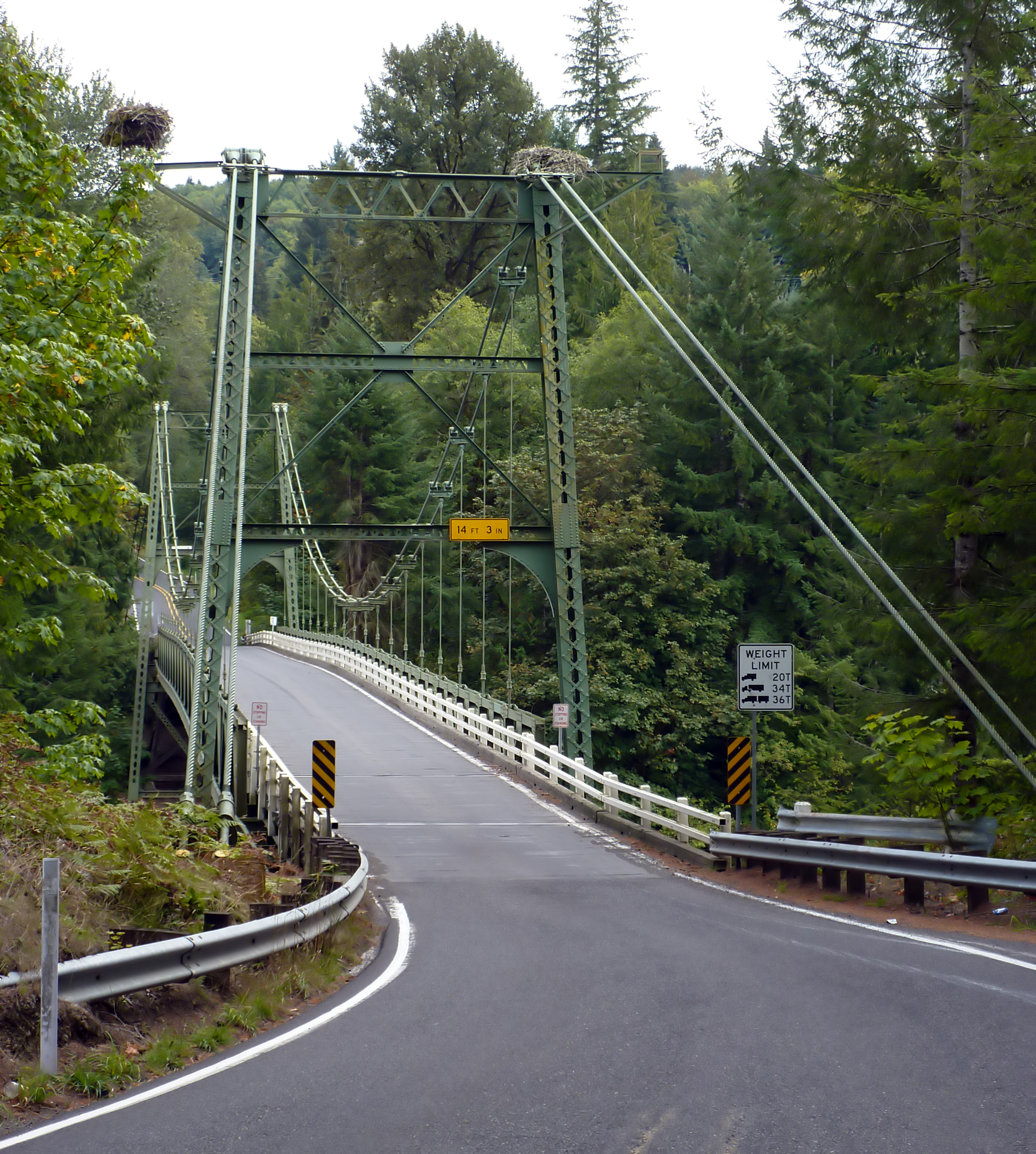
Ariel () is an unincorporated community in Cowlitz County, Washington. Ariel is located northeast of the city of Woodland along Washington State Route 503, situated north of the Lewis River and on the northwest bank of Lake Merwin. The Ariel community is part of the Woodland School District, a K-12 school district of about 2,200 students. Geography Ariel is located at (45.9567789, -122.5709345). Culture D. B. Cooper Days Every year since 2011 the D. B. Cooper Days are held at the Ariel Store and Tavern. The festival is a celebration of the skyjacking case of Dan Cooper, who hijacked a Boeing 727 over the Cascade Mountains The Cascade Range or Cascades is a major mountain range of western North America, extending from southern British Columbia through Washington and Oregon to Northern California. It includes both non-volcanic mountains, such as the North Cascades, ... with US$200,000 on November 24, 1971. External linksWoodland Public Schools website [...More Info...] [...Related Items...] OR: [Wikipedia] [Google] [Baidu] |
Unincorporated Area
An unincorporated area is a region that is not governed by a local municipal corporation. Widespread unincorporated communities and areas are a distinguishing feature of the United States and Canada. Most other countries of the world either have no unincorporated areas at all or these are very rare: typically remote, outlying, sparsely populated or List of uninhabited regions, uninhabited areas. By country Argentina In Argentina, the provinces of Chubut Province, Chubut, Córdoba Province (Argentina), Córdoba, Entre Ríos Province, Entre Ríos, Formosa Province, Formosa, Neuquén Province, Neuquén, Río Negro Province, Río Negro, San Luis Province, San Luis, Santa Cruz Province, Argentina, Santa Cruz, Santiago del Estero Province, Santiago del Estero, Tierra del Fuego Province, Argentina, Tierra del Fuego, and Tucumán Province, Tucumán have areas that are outside any municipality or commune. Australia Unlike many other countries, Australia has only local government in Aus ... [...More Info...] [...Related Items...] OR: [Wikipedia] [Google] [Baidu] |
Cascade Mountains
The Cascade Range or Cascades is a major mountain range of western North America, extending from southern British Columbia through Washington and Oregon to Northern California. It includes both non-volcanic mountains, such as the North Cascades, and the notable volcanoes known as the High Cascades. The small part of the range in British Columbia is referred to as the Canadian Cascades or, locally, as the Cascade Mountains. The latter term is also sometimes used by Washington residents to refer to the Washington section of the Cascades in addition to North Cascades, the more usual U.S. term, as in North Cascades National Park. The highest peak in the range is Mount Rainier in Washington at . part of the Pacific Ocean's Ring of Fire, the ring of volcanoes and associated mountains around the Pacific Ocean. All of the eruptions in the contiguous United States over the last 200 years have been from Cascade volcanoes. The two most recent were Lassen Peak from 1914 to 1921 and a major ... [...More Info...] [...Related Items...] OR: [Wikipedia] [Google] [Baidu] |
Boeing 727
The Boeing 727 is an American narrow-body airliner that was developed and produced by Boeing Commercial Airplanes. After the heavy 707 quad-jet was introduced in 1958, Boeing addressed the demand for shorter flight lengths from smaller airports. On December 5, 1960, the 727 was launched with 40 orders each from United Airlines and Eastern Air Lines. The first 727-100 rolled out November 27, 1962, first flew on February 9, 1963, and entered service with Eastern on February 1, 1964. The only trijet aircraft to be produced by Boeing, the 727 is powered by Pratt & Whitney JT8D low-bypass turbofans below a T-tail, one on each side of the rear fuselage and a center one fed through an S-duct. It shares its six-abreast upper fuselage cross-section and cockpit with the 707. The long 727-100 typically carries 106 passengers in two classes over , or 129 in a single class. Launched in 1965, the stretched 727-200 flew in July 1967 and entered service with Northeast Airlines that Decem ... [...More Info...] [...Related Items...] OR: [Wikipedia] [Google] [Baidu] |
K–12 (education)
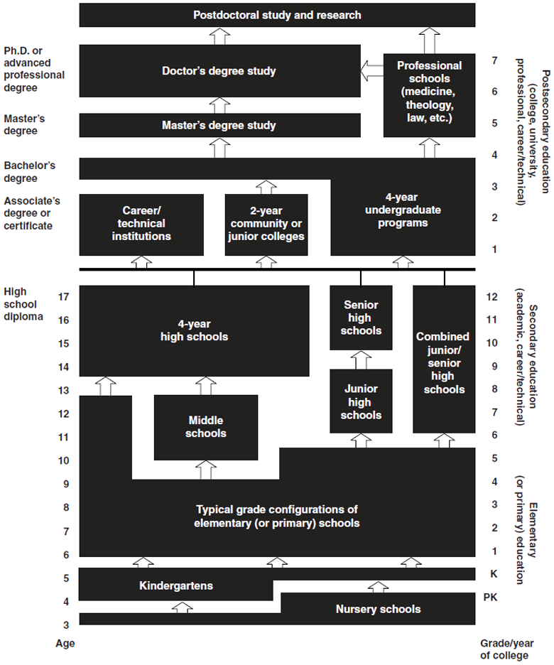
K–12, from kindergarten to 12th grade, is an American English expression that indicates the range of years of publicly supported primary and secondary education found in the United States, which is similar to publicly supported school grades before college in several other countries, such as Afghanistan, Australia, Canada, China, Ecuador, Egypt, India, Iran, the Philippines, South Korea, and Turkey. History U.S. public education was conceived of in the late 18th century. In 1790, Pennsylvania became the first state to require some form of free education for everyone regardless of whether they could afford it. New York passed similar legislation in 1805. In 1820, Massachusetts became the first state to create a tuition-free high school, Boston English. The first K–12 public school systems appeared in the early 19th century. In the 1830s and 1840s, Ohioans were taking a significant interest in the idea of public education. At that point in time, schools were commonly opera ... [...More Info...] [...Related Items...] OR: [Wikipedia] [Google] [Baidu] |
Woodland Public Schools
Woodland Public Schools (WPS) or Woodland School District #404 (WSD) is a school district headquartered in Woodland, Washington. It includes Woodland and Cougar The cougar (''Puma concolor'') is a large Felidae, cat native to the Americas. Its Species distribution, range spans from the Canadian Yukon to the southern Andes in South America and is the most widespread of any large wild terrestrial mamm ... in Cowlitz County. It also includes sections of Clark County. it has approximately 2,250 students. History In January 2007, the district added impact fees on houses in the Clark County section and in houses in the city limits of Woodland. That year it proposed that Cowlitz County add impact fees on houses in the district in order to pay for new facilities. The Cowlitz county attorney stated that he was not sure whether the plan complied with Washington state law. In 2007, superintendent Bill Hundley chose to retire. In 2015, four of the five members of the board of ed ... [...More Info...] [...Related Items...] OR: [Wikipedia] [Google] [Baidu] |
Lake Merwin
Lake Merwin is a reservoir on the Lewis River in the U.S. state of Washington. It lies on the border between Clark County and Cowlitz County. It was created in 1931 with the construction of Merwin Dam. See also *List of lakes in Washington (state) *List of dams in the Columbia River watershed There are more than 60 dams in the Columbia River watershed in the United States and Canada. Tributaries of the Columbia River and their dammed tributaries, as well as the main stem itself, each have their own list below. The dams are listed in ... References Reservoirs in Washington (state) Lakes of Clark County, Washington Lakes of Cowlitz County, Washington Protected areas of Clark County, Washington Protected areas of Cowlitz County, Washington {{CowlitzCountyWA-geo-stub ... [...More Info...] [...Related Items...] OR: [Wikipedia] [Google] [Baidu] |
Lewis River (Washington)
The Lewis River is a tributary of the Columbia River, about long, in southwestern Washington (state), Washington in the United States. It drains part of the Cascade Range north of the Columbia River. The drainage basin of the Lewis River covers about . The river's mean annual Discharge (hydrology), discharge is about . Unlike nearby Lewis County, Washington, Lewis County and Fort Lewis (Washington), Fort Lewis the Lewis River was not named for Meriwether Lewis, but rather for A. Lee Lewis, an early colonizer who homesteaded near the mouth of the river. History Like almost all Native tribes, Indigenous groups on the Lewis River experienced a Population decline, population collapse as a result of an 1830 epidemic introduced by early colonizers. This is one of the reasons many early recorded observations include large shifts and changes in tribal populations. Tribal listings compiled by anthropologist Verne F. Ray mention a village about upstream from the mouth of the Lewis, which w ... [...More Info...] [...Related Items...] OR: [Wikipedia] [Google] [Baidu] |
Washington State Route 503
State Route 503 (SR 503) is a state highway serving Clark and Cowlitz counties in the U.S. state of Washington. The highway travels north from a short concurrency with SR 500 in Orchards through Battle Ground, the eastern terminus of SR 502, and communities in rural Clark County before crossing the Lewis River on the Yale Bridge. SR 503 intersects its spur route and turns west to parallel the Lewis River downstream to Woodland, where the highway ends at an interchange with Interstate 5 (I-5). The highway was part of the Lewis River Road, signed as State Road 15, from 1909 until 1919. The current route of SR 503 was split between Secondary State Highway 1S (SSH 1) from Woodland to Battle Ground and SSH 1U from Battle Ground to Orchards in 1937, combined to form SR 503 during the 1964 highway renumbering. A spur route, established in 1991, travels northeast into the Gifford Pinchot National Forest along Yale Lake, ... [...More Info...] [...Related Items...] OR: [Wikipedia] [Google] [Baidu] |
Woodland, Washington
Woodland is a city in Clark and Cowlitz counties in the State of Washington. Most residents live within Cowlitz County, in which the majority of the city lies. It is part of the 'Longview, Washington Metropolitan Statistical Area'. The population was 6,531 at the 2020 census. Etymology Named for its wooded setting by Christopher Columbus Bozarth, the community's first merchant and postmaster, at the suggestion of his wife. Identically or similarly named unincorporated communities (without post offices) with the same name source exist in Pierce, Snohomish, Island, and Grays Harbor counties. History Hudson's Bay Company retiree Adolphous Le Lewes (alternate spelling: Lewis) established a homestead at the mouth of what is today known as the Lewis River, in 1849 (The Lewis River is the namesake of A. Le Lewes, not Meriwether Lewis as is generally believed). Two Iowa families, related by marriage, came next: the Solomon Strongs filed a claim in September 1850 and the Squire Bozarth ... [...More Info...] [...Related Items...] OR: [Wikipedia] [Google] [Baidu] |
Geographic Names Information System
The Geographic Names Information System (GNIS) is a database of name and locative information about more than two million physical and cultural features throughout the United States and its territories, Antarctica, and the associated states of the Marshall Islands, Federated States of Micronesia, and Palau. It is a type of gazetteer. It was developed by the United States Geological Survey (USGS) in cooperation with the United States Board on Geographic Names (BGN) to promote the standardization of feature names. Data were collected in two phases. Although a third phase was considered, which would have handled name changes where local usages differed from maps, it was never begun. The database is part of a system that includes topographic map names and bibliographic references. The names of books and historic maps that confirm the feature or place name are cited. Variant names, alternatives to official federal names for a feature, are also recorded. Each feature receives a per ... [...More Info...] [...Related Items...] OR: [Wikipedia] [Google] [Baidu] |
List Of Sovereign States
The following is a list providing an overview of sovereign states around the world with information on their status and recognition of their sovereignty. The 206 listed states can be divided into three categories based on membership within the United Nations System: 193 UN member states, 2 UN General Assembly non-member observer states, and 11 other states. The ''sovereignty dispute'' column indicates states having undisputed sovereignty (188 states, of which there are 187 UN member states and 1 UN General Assembly non-member observer state), states having disputed sovereignty (16 states, of which there are 6 UN member states, 1 UN General Assembly non-member observer state, and 9 de facto states), and states having a special political status (2 states, both in free association with New Zealand). Compiling a list such as this can be a complicated and controversial process, as there is no definition that is binding on all the members of the community of nations concerni ... [...More Info...] [...Related Items...] OR: [Wikipedia] [Google] [Baidu] |


